Tadwick Wood
Wood, Forest in Somerset
England
Tadwick Wood

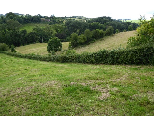
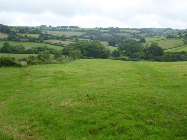
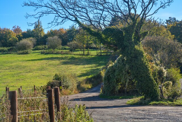
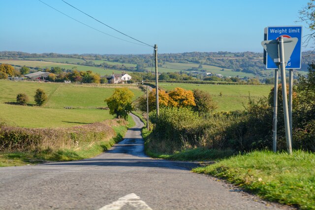
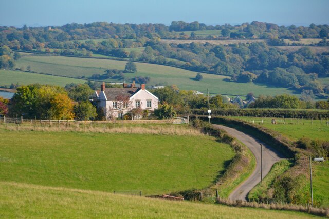
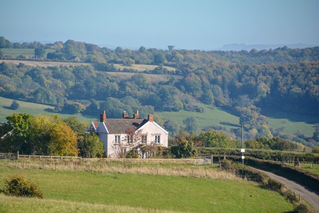
Tadwick Wood is a picturesque woodland located in Somerset, England. Covering an area of approximately 50 acres, this ancient woodland is a popular destination for nature enthusiasts, hikers, and wildlife lovers.
The wood is predominantly made up of broadleaf trees, including oak, beech, and ash, which create a dense canopy that provides shade and shelter for a variety of plant and animal species. The forest floor is rich in diverse flora, with bluebells, wild garlic, and primroses carpeting the ground during the spring season.
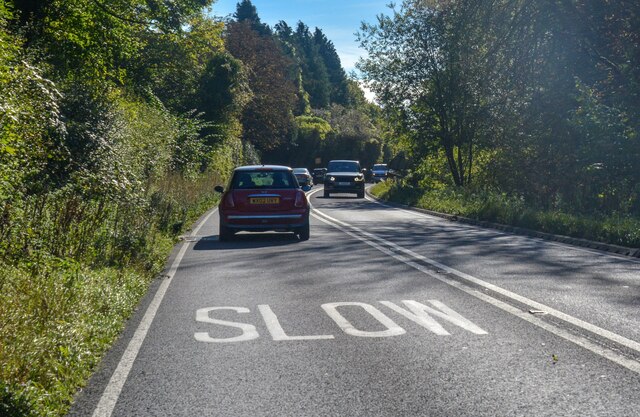
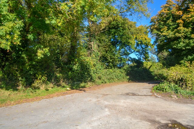
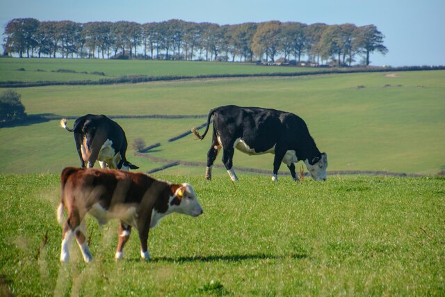
Tadwick Wood is crisscrossed by a network of well-maintained trails, allowing visitors to explore the area at their own pace. These paths lead through the woodland, passing by tranquil streams, small ponds, and open glades. Along the way, visitors may encounter an array of wildlife, such as deer, badgers, foxes, and a variety of bird species, making it a haven for birdwatching enthusiasts.
The wood has a rich history, with evidence of human habitation dating back to the Roman period. In fact, remnants of an old Roman road can still be seen within the woodland. Today, Tadwick Wood is managed by a local conservation group, ensuring the preservation of the natural environment and promoting the sustainable use of the woodland for recreational activities.
With its serene atmosphere and pristine natural beauty, Tadwick Wood offers a tranquil escape from the hustle and bustle of everyday life. Whether you are seeking a peaceful stroll, a chance to observe wildlife, or simply a place to connect with nature, Tadwick Wood is a must-visit destination in Somerset.
If you have any feedback on the listing, please let us know in the comments section below.
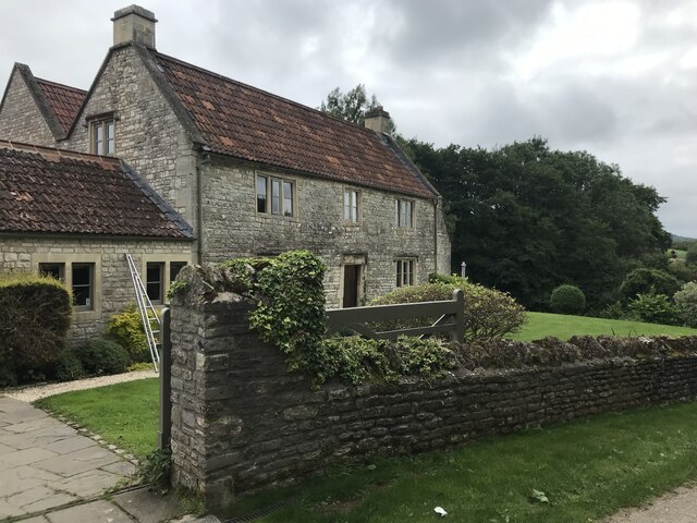
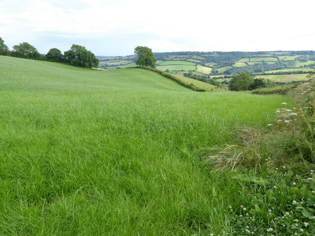
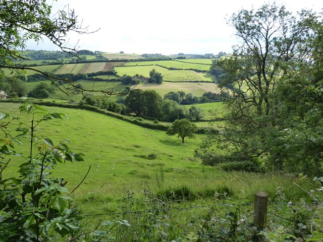
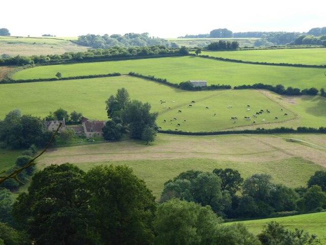
Tadwick Wood Images
Images are sourced within 2km of 51.432019/-2.3636273 or Grid Reference ST7470. Thanks to Geograph Open Source API. All images are credited.


Tadwick Wood is located at Grid Ref: ST7470 (Lat: 51.432019, Lng: -2.3636273)
Unitary Authority: Bath and North East Somerset
Police Authority: Avon and Somerset
What 3 Words
///ecologist.armrest.jokers. Near Cold Ashton, Gloucestershire
Nearby Locations
Related Wikis

Monkswood Valley
Monkswood Valley (grid reference ST754710) is a 30.7-hectare biological Site of Special Scientific Interest (SSSI) near the village of Cold Ashton, South...

Ashcombe House, Somerset
Ashcombe House at Swainswick, north-east of Bath in Somerset, England is a Gothic revival country house. It is a Grade II listed building. Ashcombe House...

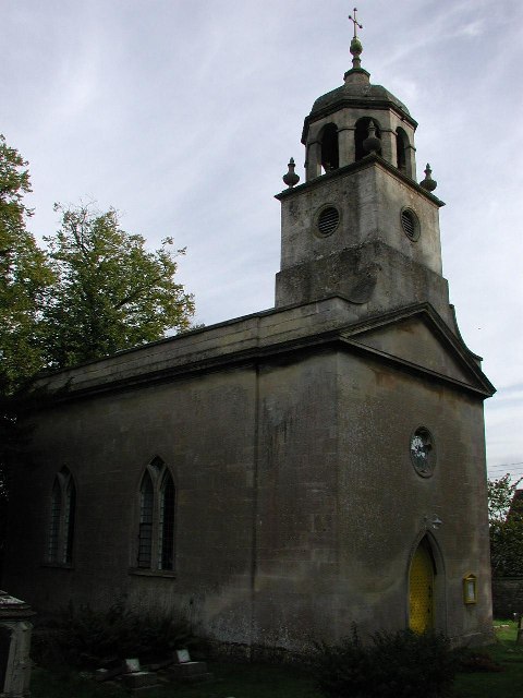
St Mary Magdalene's Church, Langridge
St Mary Magdalene's Church at Langridge in the parish of Charlcombe, Somerset, England dates from the 12th century and has been designated as a Grade I...

RAF Charmy Down
Royal Air Force Charmy Down or more simply RAF Charmy Down is a former Royal Air Force station in Somerset, England, approximately 3 miles (4.8 km) north...
All Saints Church, Woolley
All Saints Church at Woolley in the parish of Charlcombe, Somerset, England, dates from 1761 and was built by John Wood, the Younger replacing an earlier...

Church of St Mary, Swainswick
The Anglican Church of St Mary in Swainswick within the English county of Somerset dates from the 12th century. It is a Grade II* listed building.Vestiges...

Cold Ashton
Cold Ashton is a village in South Gloucestershire, England. It is located 5 miles (8.0 km) north of Bath, near the junction between the A46 and A420 roads...

Swainswick
Swainswick is a small village and civil parish, 3 miles (4.8 km) northeast of Bath, on the A46 in the Bath and North East Somerset unitary authority, Somerset...
Nearby Amenities
Located within 500m of 51.432019,-2.3636273Have you been to Tadwick Wood?
Leave your review of Tadwick Wood below (or comments, questions and feedback).