Balls Wood
Wood, Forest in Somerset Mendip
England
Balls Wood
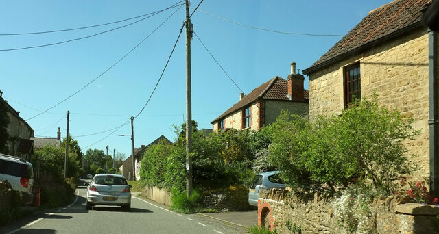
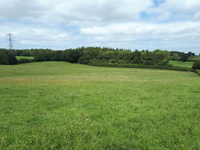
Balls Wood, located in Somerset, England, is a picturesque woodland area that spans approximately 100 acres. Nestled in the heart of the county, it is situated just a few miles away from the town of Ilminster. The wood is easily accessible by foot and is a popular destination for nature enthusiasts and hikers.
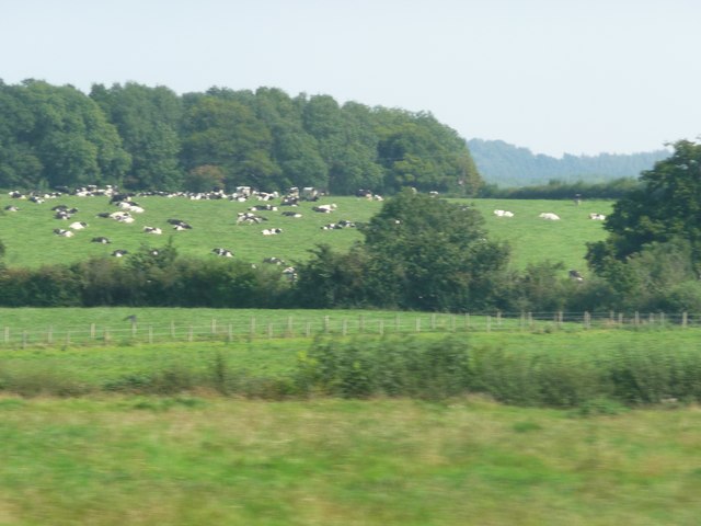
Balls Wood is primarily composed of native broadleaf trees, including oak, beech, ash, and birch. These trees create a diverse and vibrant ecosystem, providing a habitat for a wide range of flora and fauna. The wood is known for its tranquil atmosphere, offering visitors a peaceful retreat away from the hustle and bustle of daily life.
The woodland floor is adorned with a beautiful carpet of bluebells during the spring, creating a stunning display of colors. Visitors can also spot various wildflowers, such as wood anemones and primroses, adding to the natural beauty of the area.
Several walking trails wind their way through Balls Wood, allowing visitors to explore the woodland at their own pace. The paths are well-maintained and offer a gentle terrain suitable for all ages and abilities. Along these trails, one can find benches and picnic spots, inviting visitors to take a break and enjoy the serenity of the surroundings.
Balls Wood is not only a haven for wildlife but also a popular spot for birdwatching. The wood is home to a variety of bird species, including woodpeckers, warblers, and owls. Binoculars are recommended for bird enthusiasts to fully appreciate the diverse avian population.
Overall, Balls Wood is a delightful destination for nature lovers, offering a peaceful and enchanting escape into the heart of Somerset's natural beauty.
If you have any feedback on the listing, please let us know in the comments section below.
Balls Wood Images
Images are sourced within 2km of 51.178924/-2.3615883 or Grid Reference ST7442. Thanks to Geograph Open Source API. All images are credited.
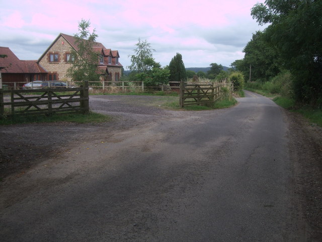
![Bridge over a brook on the road near Witham Hall Farm The [water] Fall marked on the OS map is not visible from the road.](https://s3.geograph.org.uk/geophotos/07/52/99/7529915_00cd80dd.jpg)
Balls Wood is located at Grid Ref: ST7442 (Lat: 51.178924, Lng: -2.3615883)
Administrative County: Somerset
District: Mendip
Police Authority: Avon and Somerset
What 3 Words
///skylights.mouths.butter. Near Frome, Somerset
Nearby Locations
Related Wikis

Postlebury Wood
Postlebury Wood (grid reference ST740430) is an 87 hectare biological Site of Special Scientific Interest south of Trudoxhill in Somerset, notified in...

Witham Friary
Witham Friary is a small English village and civil parish located between the towns of Frome and Bruton in the county of Somerset. It is in the Cranborne...
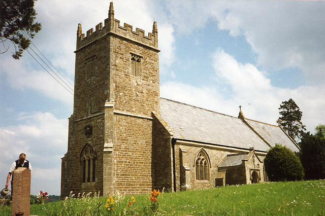
Church of St Mary, Witham Friary
The Church of St Mary in Witham Friary, Somerset, England, dates from around 1200 and it has been designated as a Grade I listed building.The church was...

Trudoxhill
Trudoxhill is a village and civil parish near Nunney in Somerset, England. == History == The name Trudoxhill comes from the Old English treow meaning tree...

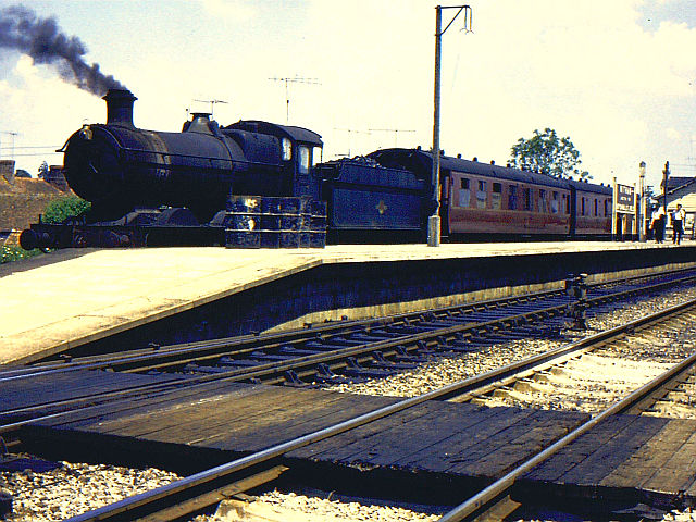
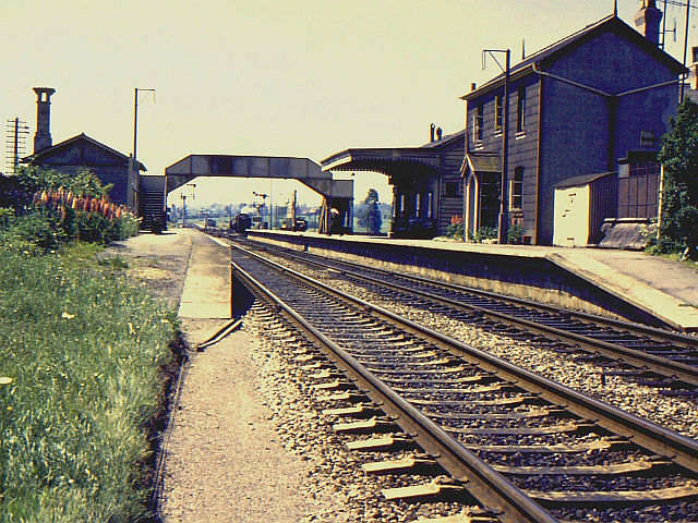
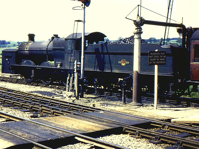
Witham (Somerset) railway station
This station in Somerset is closed. For the open station in East Anglia, see Witham railway station.Witham (Somerset) railway station was a station serving...

Witham Charterhouse
Witham Charterhouse, also Witham Priory, at Witham Friary, Somerset, was established in 1178/79, the earliest of the ten medieval Carthusian houses (charterhouses...

Marston Moat
Marston Moat is the site of a fortified manor house in the parish of Trudoxhill, Somerset, England. It has been designated as a Scheduled Ancient Monument...
Church of St Mary, Cloford
The Church of St Mary in Cloford, Wanstrow, Somerset, England was built in the 15th century. It is a Grade II* listed building. == History == The church...
Nearby Amenities
Located within 500m of 51.178924,-2.3615883Have you been to Balls Wood?
Leave your review of Balls Wood below (or comments, questions and feedback).