Postlebury Wood

Wood, Forest in Somerset Mendip

England

Postlebury Wood

Macmillan Way in Trudoxhill The LDP follows the main village street north-westwards. This was taken a little further up the road from <a href="https://www.geograph.org.uk/photo/4158016">ST7443 : Village Street, Trudoxhill</a>.
Macmillan Way in Trudoxhill Credit: Derek Harper

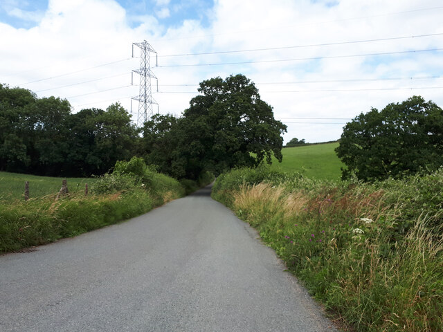
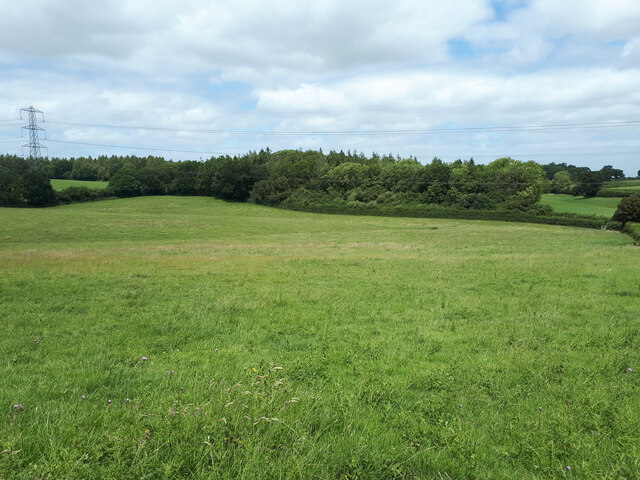
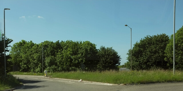
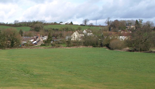
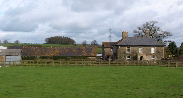
Postlebury Wood, located in Somerset, England, is a picturesque woodland that covers an area of approximately 50 acres. It is nestled in the beautiful Mendip Hills, offering visitors a tranquil and serene escape from the hustle and bustle of everyday life.

The wood is characterized by its diverse range of tree species, including oak, beech, ash, and birch. These towering trees provide a lush green canopy that filters the sunlight, creating a dappled effect on the forest floor. The undergrowth is rich with ferns, bluebells, and wildflowers, enhancing the wood's natural beauty.

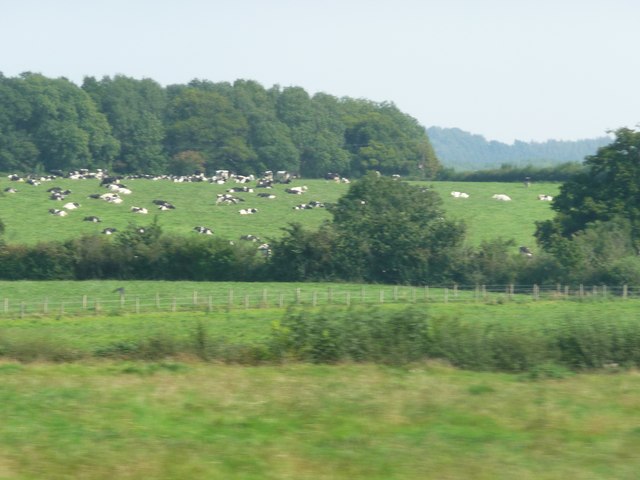
Postlebury Wood is a haven for wildlife, attracting a wide array of animals and birds. Visitors may spot deer, badgers, foxes, and rabbits roaming freely in their natural habitat. The woodland also supports a variety of bird species, such as woodpeckers, owls, and warblers, making it a popular spot for birdwatchers.

The wood offers several walking trails, allowing visitors to explore its enchanting landscape. These well-marked paths wind through ancient trees, across babbling brooks, and up gentle slopes, providing breathtaking views of the surrounding countryside. The wood also boasts a picnic area, where visitors can take a break and enjoy a packed lunch amidst the tranquility of nature.

Postlebury Wood is managed by a local conservation group, ensuring its preservation for future generations to enjoy. The wood is open to the public throughout the year, with no admission fee. It is a popular destination for nature lovers, families, and photographers, seeking solace and inspiration in its peaceful surroundings.

In conclusion, Postlebury Wood in Somerset offers visitors a chance to immerse themselves in the beauty of nature. With its diverse flora and fauna, scenic walking trails, and peaceful ambiance, it is a must-visit location for anyone seeking a tranquil woodland retreat.

If you have any feedback on the listing, please let us know in the comments section below.

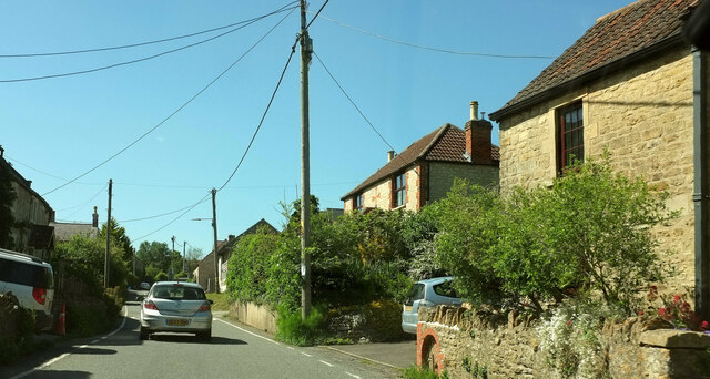
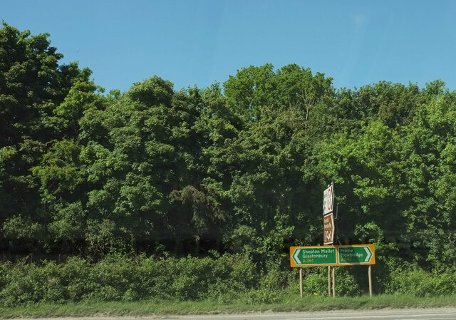
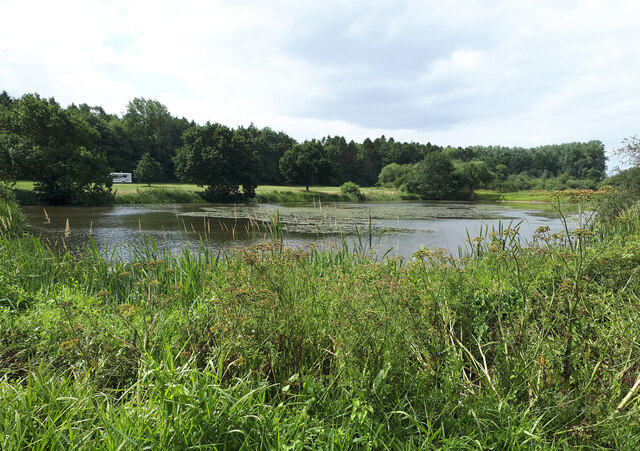
Postlebury Wood Images

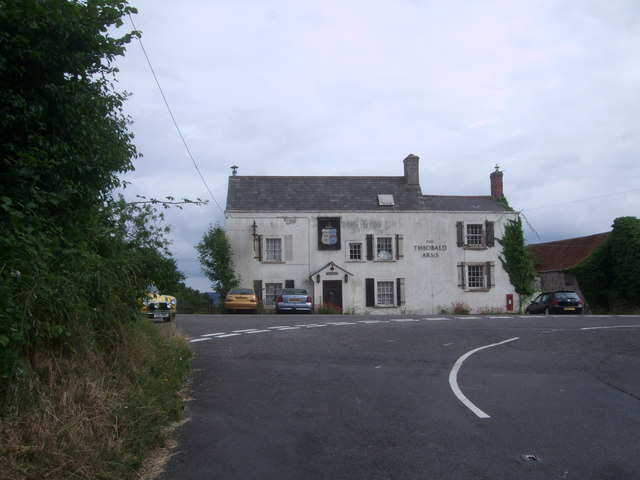
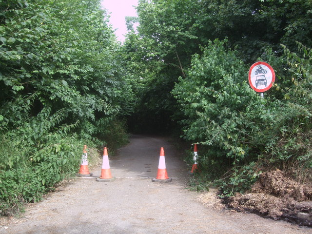
Images are sourced within 2km of 51.184275/-2.3699429 or Grid Reference ST7442. Thanks to Geograph Open Source API. All images are credited.

Macmillan Way in Trudoxhill The LDP follows the main village street north-westwards. This was taken a little further up the road from <a href="https://www.geograph.org.uk/photo/4158016">ST7443 : Village Street, Trudoxhill</a>.
Macmillan Way in Trudoxhill
The LDP follows the main village street north-westwards. This was taken a little further up the road from ST7443 : Village Street, Trudoxhill.
Marston Road, Nunney At the junction of the road from Trudoxhill with the A361 Marston Road. The brown sign pointing towards the camera advertises "Trudoxhill Macmillan Way" and both OS maps and the LWDA map show the Way crossing the main road at this junction. But I can't see any route for it on the other side of this junction, nor any waymark. Surely it should follow the lane shown in <a href="https://www.geograph.org.uk/photo/4068831">ST7444 : Disused road, near Nunney Catch</a> which passes safely beneath the main road? However, no waymarking is visible on Streetview where this lane leaves the road from Trudoxhill.
Marston Road, Nunney
At the junction of the road from Trudoxhill with the A361 Marston Road. The brown sign pointing towards the camera advertises "Trudoxhill Macmillan Way" and both OS maps and the LWDA map show the Way crossing the main road at this junction. But I can't see any route for it on the other side of this junction, nor any waymark. Surely it should follow the lane shown in ST7444 : Disused road, near Nunney Catch which passes safely beneath the main road? However, no waymarking is visible on Streetview where this lane leaves the road from Trudoxhill.
View over the lake, with caravan and motorhome site in the background The lakes are on the site of the medieval fishponds of Witham Priory.
View over the lake, with caravan and motorhome site in the background
The lakes are on the site of the medieval fishponds of Witham Priory.
Road from Witham Friary to Trudoxhill
Balls Wood
Balls Wood
The Seymour Arms
The Seymour Arms
The Reading Room, Witham Firary Grade II* former village reading room, dating back to c. 1300, attached to a Carthusian priory. <span class="nowrap"><a title="https://historicengland.org.uk/listing/the-list/list-entry/1175244" rel="nofollow ugc noopener" href="https://historicengland.org.uk/listing/the-list/list-entry/1175244">Link</a><img style="margin-left:2px;" alt="External link" title="External link - shift click to open in new window" src="https://s1.geograph.org.uk/img/external.png" width="10" height="10"/></span> <span class="nowrap"><a title="https://historicengland.org.uk/listing/the-list/list-entry/1175244?section=official-list-entry" rel="nofollow ugc noopener" href="https://historicengland.org.uk/listing/the-list/list-entry/1175244?section=official-list-entry">Link</a><img style="margin-left:2px;" alt="External link" title="External link - shift click to open in new window" src="https://s1.geograph.org.uk/img/external.png" width="10" height="10"/></span>
The Reading Room, Witham Firary
Grade II* former village reading room, dating back to c. 1300, attached to a Carthusian priory. LinkExternal link LinkExternal link
A361 approaching Nunney Catch Looking left from <a href="https://www.geograph.org.uk/photo/7189486">ST7444 : Marston Road, Nunney</a> along Marston Road; the Nunney Catch roundabout can be glimpsed ahead. On the left is Braeside Farm.
A361 approaching Nunney Catch
Looking left from ST7444 : Marston Road, Nunney along Marston Road; the Nunney Catch roundabout can be glimpsed ahead. On the left is Braeside Farm.
Splitter island, Nunney Catch Roundabout Turning left away from the roundabout is the A361 to Shepton Mallet. I'd have thought there should be a roadsign on the island confirming thus.
Splitter island, Nunney Catch Roundabout
Turning left away from the roundabout is the A361 to Shepton Mallet. I'd have thought there should be a roadsign on the island confirming thus.
Witham (Somerset) Station, with a train for Yatton View eastward, towards Westbury, Swindon, reading and London: ex-GW West of England main lines and junction for Wells and Yatton. The train is in the Down Bay, with Collett '4500' 2-6-2T No. 4555 (built 9/24).
Witham (Somerset) Station, with a train for Yatton
View eastward, towards Westbury, Swindon, reading and London: ex-GW West of England main lines and junction for Wells and Yatton. The train is in the Down Bay, with Collett '4500' 2-6-2T No. 4555 (built 9/24).
Mendip : Grassy Field A grassy field and another one with cows grazing in the distance.
Mendip : Grassy Field
A grassy field and another one with cows grazing in the distance.
Witham Friary The east side of the village across the River From, which follows the other side of this pasture across the centre and left of the image; one of its tributaries enters from the right. View from a passing train on the main line.
Witham Friary
The east side of the village across the River From, which follows the other side of this pasture across the centre and left of the image; one of its tributaries enters from the right. View from a passing train on the main line.
Witham Hall Farm The farm also appears, from the lane, in <a title="https://www.geograph.org.uk/search.php?i=29666978" href="https://www.geograph.org.uk/search.php?i=29666978">Link</a> . This view is from a train on the main railway line between Bruton and Westbury.
Witham Hall Farm
The farm also appears, from the lane, in Link . This view is from a train on the main railway line between Bruton and Westbury.
The Theobald Arms, Nunney Catch The Theobald Arms, Nunney Catch, looking even worse for wear than in 2009, see 
<a href="https://www.geograph.org.uk/photo/1323590">ST7344 : The Theobald Arms, Nunney Catch</a>.
The Theobald Arms, Nunney Catch
The Theobald Arms, Nunney Catch, looking even worse for wear than in 2009, see ST7344 : The Theobald Arms, Nunney Catch.
Disused road, near Nunney Catch This lane goes underneath the busy A 361 Marston Road and links to the road to Trudoxhill. Though disused, it is still walkable.
Disused road, near Nunney Catch
This lane goes underneath the busy A 361 Marston Road and links to the road to Trudoxhill. Though disused, it is still walkable.
Congregational chapel, Foghamshire Lane, Trudoxhill Grade II* Listed meeting-house, converted from house. <span class="nowrap"><a title="http://www.britishlistedbuildings.co.uk/en-266840-congregational-chapel-trudoxhill-somerse" rel="nofollow ugc noopener" href="http://www.britishlistedbuildings.co.uk/en-266840-congregational-chapel-trudoxhill-somerse">Link</a><img style="margin-left:2px;" alt="External link" title="External link - shift click to open in new window" src="https://s1.geograph.org.uk/img/external.png" width="10" height="10"/></span> Dated 1699, converted 1717, with 19th century alterations. It has a two-storey façade with a four-bay north front with stone mullioned windows with leaded panes. A single-storey schoolroom was added on the right in 1898 with a sash window and panelled double-doors. The chapel is still in use.
Congregational chapel, Foghamshire Lane, Trudoxhill
Grade II* Listed meeting-house, converted from house. LinkExternal link Dated 1699, converted 1717, with 19th century alterations. It has a two-storey façade with a four-bay north front with stone mullioned windows with leaded panes. A single-storey schoolroom was added on the right in 1898 with a sash window and panelled double-doors. The chapel is still in use.
Foghamshire Lane, Trudoxhill House in Foghamshire Lane.
Foghamshire Lane, Trudoxhill
House in Foghamshire Lane.
An Old Chapel Looking a bit more overgrown than in this image from 2006 <a href="https://www.geograph.org.uk/photo/136261">ST7444 : Old chapel at Knoll Hill</a> and the footpath sign has gone.
An Old Chapel
Looking a bit more overgrown than in this image from 2006 ST7444 : Old chapel at Knoll Hill and the footpath sign has gone.
Show me another place!

Postlebury Wood is located at Grid Ref: ST7442 (Lat: 51.184275, Lng: -2.3699429)

Administrative County: Somerset

District: Mendip

Police Authority: Avon and Somerset

What 3 Words

///sourcing.sulk.perfected. Near Frome, Somerset

Related Wikis

Postlebury Wood

Postlebury Wood (grid reference ST740430) is an 87 hectare biological Site of Special Scientific Interest south of Trudoxhill in Somerset, notified in...
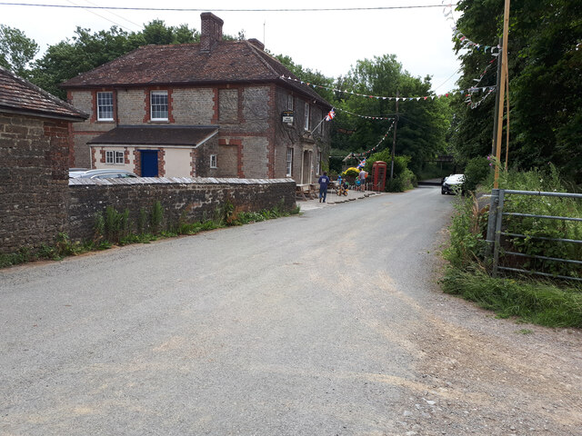
Trudoxhill

Trudoxhill is a village and civil parish near Nunney in Somerset, England. == History == The name Trudoxhill comes from the Old English treow meaning tree...
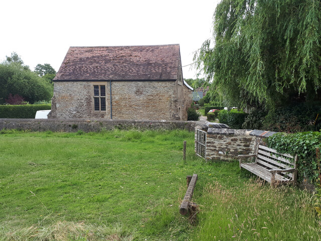
Witham Friary

Witham Friary is a small English village and civil parish located between the towns of Frome and Bruton in the county of Somerset. It is in the Cranborne...

Church of St Mary, Witham Friary

The Church of St Mary in Witham Friary, Somerset, England, dates from around 1200 and it has been designated as a Grade I listed building.The church was...

Witham (Somerset) railway station

This station in Somerset is closed. For the open station in East Anglia, see Witham railway station.Witham (Somerset) railway station was a station serving...

Church of St Mary, Cloford

The Church of St Mary in Cloford, Wanstrow, Somerset, England was built in the 15th century. It is a Grade II* listed building. == History == The church...

Witham Charterhouse

Witham Charterhouse, also Witham Priory, at Witham Friary, Somerset, was established in 1178/79, the earliest of the ten medieval Carthusian houses (charterhouses...

Marston Bigot

Marston Bigot is a small village and former civil parish, now in the parish of Trudoxhill in the Somerset district, in the ceremonial county of Somerset...

Have you been to Postlebury Wood?

Leave your review of Postlebury Wood below (or comments, questions and feedback).