Wyre Forest
Wood, Forest in Worcestershire Wyre Forest
England
Wyre Forest
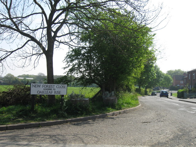
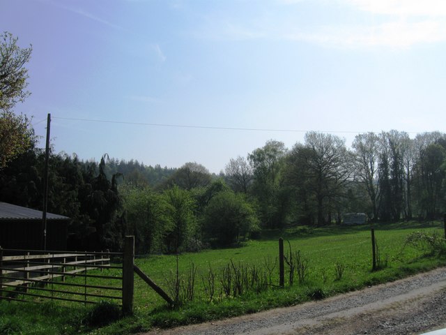
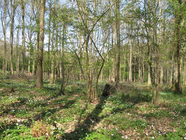
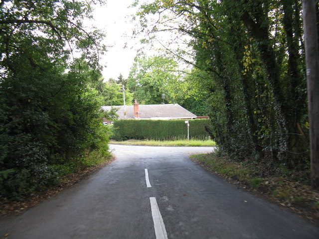
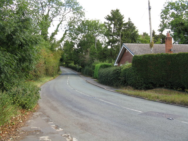
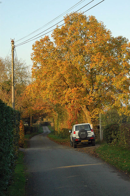
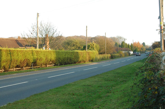
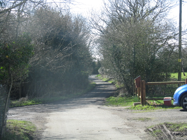
Wyre Forest is a picturesque woodland area located in the county of Worcestershire, England. Covering an area of approximately 10,000 acres, it is one of the largest ancient woodlands in the country. The forest is situated between the towns of Bewdley and Kidderminster, and is easily accessible from nearby cities such as Birmingham and Worcester.
Wyre Forest is renowned for its rich biodiversity and is designated as a Site of Special Scientific Interest (SSSI). The forest is predominantly made up of oak and birch trees, with some areas also featuring conifer plantations. It is home to a wide variety of wildlife, including deer, foxes, badgers, and a diverse range of bird species.
The forest offers a range of recreational activities for visitors to enjoy. There are numerous walking trails and cycling routes that crisscross the woodland, providing opportunities for exploration and exercise. The forest also boasts a Go Ape adventure course, where visitors can challenge themselves on high ropes, zip lines, and treetop obstacles.
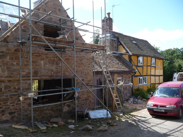
In addition to its natural beauty, Wyre Forest has a rich historical and cultural heritage. The area has evidence of human habitation dating back to the Iron Age, and there are several archaeological sites and ancient monuments to discover. The forest is also home to the Wyre Forest Visitor Centre, where visitors can learn more about the history, wildlife, and conservation efforts of the area.
Overall, Wyre Forest is a captivating destination that combines stunning natural scenery, outdoor activities, and a fascinating history, making it a popular choice for nature enthusiasts and history buffs alike.
If you have any feedback on the listing, please let us know in the comments section below.
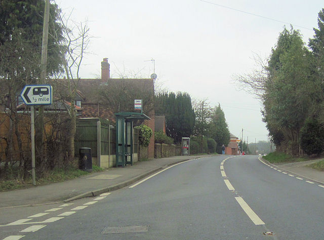
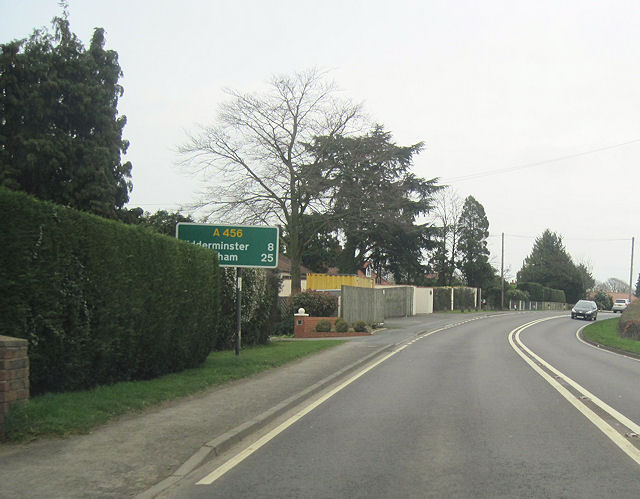
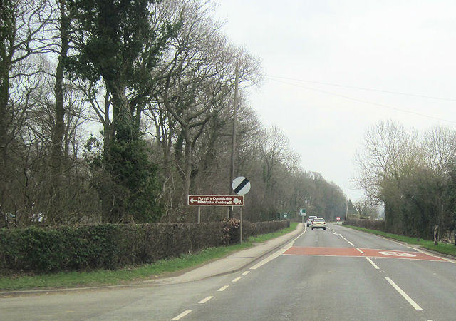
Wyre Forest Images
Images are sourced within 2km of 52.377872/-2.3798132 or Grid Reference SO7475. Thanks to Geograph Open Source API. All images are credited.


Wyre Forest is located at Grid Ref: SO7475 (Lat: 52.377872, Lng: -2.3798132)
Administrative County: Worcestershire
District: Wyre Forest
Police Authority: West Mercia
What 3 Words
///tribune.timing.ethic. Near Bewdley, Worcestershire
Nearby Locations
Related Wikis

Wyre Forest
Wyre Forest is a large, semi-natural (partially unmanaged) woodland and forest measuring 26.34 square kilometres (10.17 sq mi) which straddles the borders...

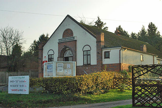
Far Forest
Far Forest is a small village in north Worcestershire, England, approximately 3.5 miles (5.6 km) west of Bewdley, and next to the border with Shropshire...

Wyre Forest railway station
Wyre Forest railway station was a station to the north of Far Forest, Worcestershire, England. The station which served the Wyre Forest was opened in 1869...
Fingerpost, Worcestershire
Fingerpost is a hamlet and road junction in north Worcestershire, England, approximately 3 miles (4.8 km) west of Bewdley. It is located at the junction...

Knowles Mill
Knowles Mill is the remains of an eighteenth-century water-powered grain mill, located in the Wyre Forest in Worcestershire, England. The mill has been...
Button Oak
Button Oak is a small village in the English county of Shropshire, England. It is 3 miles north west of Bewdley. Button Oak is very similar to nearby...

Bliss Gate
Bliss Gate is a small village in Worcestershire, England. It had many attractive tourist landmarks such as the Bliss Gate Inn (now closed) and a village...

Pound Green
Pound Green is a hamlet in Upper Arley, Worcestershire, England. It has a number of tourist landmarks such as Ye Olde New Inn and a village hall that also...
Nearby Amenities
Located within 500m of 52.377872,-2.3798132Have you been to Wyre Forest?
Leave your review of Wyre Forest below (or comments, questions and feedback).