Church's Wood

Wood, Forest in Somerset Mendip

England

Church's Wood

Macmillan Way in Trudoxhill The LDP follows the main village street north-westwards. This was taken a little further up the road from <a href="https://www.geograph.org.uk/photo/4158016">ST7443 : Village Street, Trudoxhill</a>.
Macmillan Way in Trudoxhill Credit: Derek Harper

Church's Wood is a picturesque woodland located in Somerset, England. Spanning over a vast area, it is considered one of the most captivating woodlands in the region. The wood is named after the nearby Church of St. Mary, which adds to its historical significance.

The forest boasts a diverse range of tree species, including oak, beech, ash, and birch. This rich variety of trees contributes to the wood's vibrant and ever-changing colors throughout the seasons. In spring, the forest floor comes alive with a carpet of bluebells, creating a breathtaking sight for visitors.

Church's Wood is a haven for wildlife enthusiasts, as it provides a sanctuary for an array of creatures. The wood is home to several bird species, such as woodpeckers, nuthatches, and various songbirds. It is also a habitat for small mammals like squirrels, foxes, and rabbits.

For those seeking tranquility and peace, Church's Wood offers a network of walking trails that wind through the enchanting landscape. These trails provide an opportunity to immerse oneself in nature, with the sounds of birdsong and the rustling of leaves as the only soundtrack.

The woodland is a popular destination for nature lovers and photographers, who are drawn to its beauty and serenity. It offers a unique opportunity to escape the hustle and bustle of daily life and connect with nature.

In summary, Church's Wood in Somerset is a mesmerizing forest that showcases the natural beauty of the region. Its diverse flora and fauna, combined with its peaceful atmosphere, make it a must-visit destination for nature enthusiasts and those seeking a tranquil retreat.

If you have any feedback on the listing, please let us know in the comments section below.

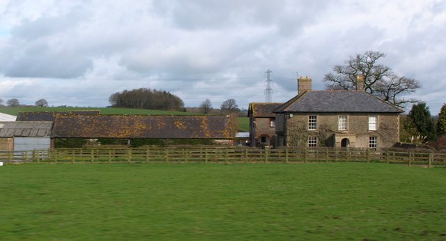
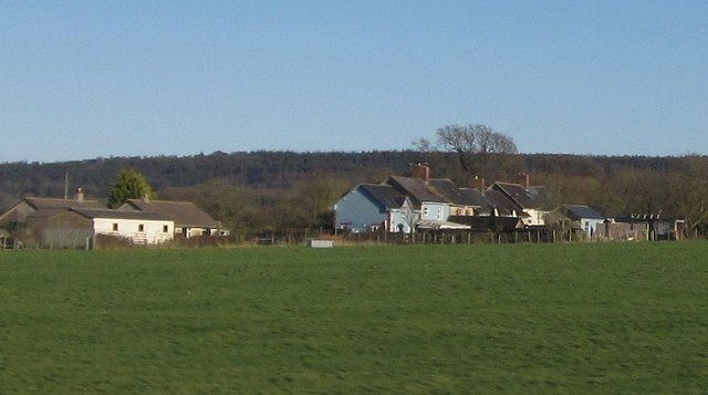
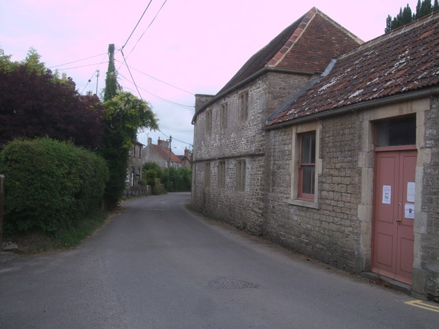
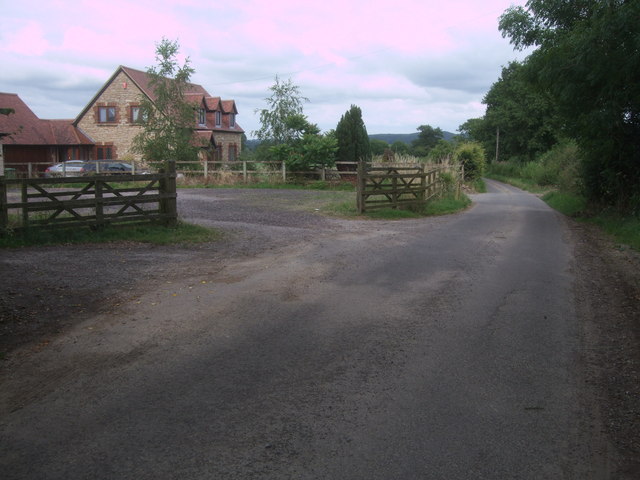
Church's Wood Images

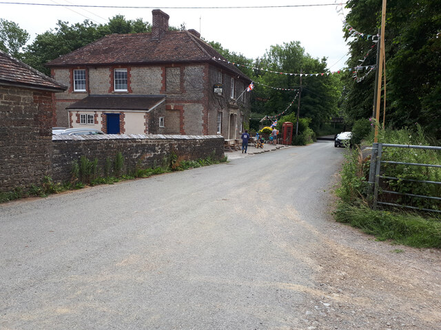
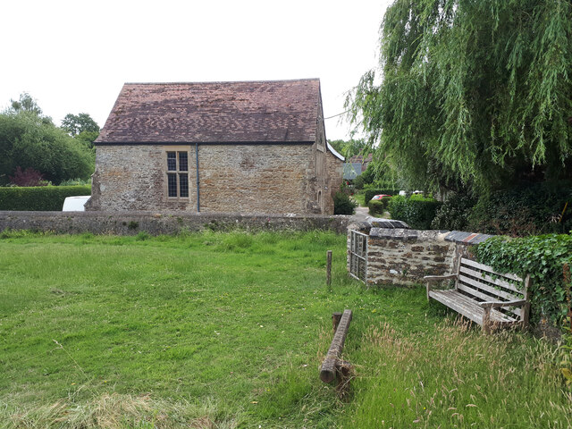
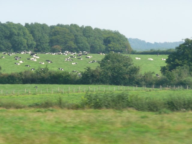
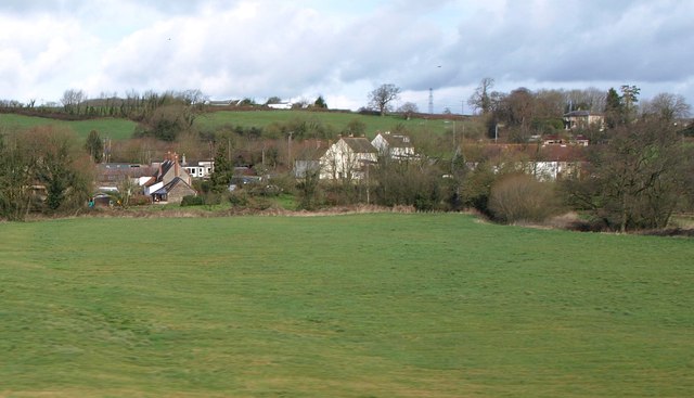
Images are sourced within 2km of 51.180463/-2.3669652 or Grid Reference ST7442. Thanks to Geograph Open Source API. All images are credited.

Macmillan Way in Trudoxhill The LDP follows the main village street north-westwards. This was taken a little further up the road from <a href="https://www.geograph.org.uk/photo/4158016">ST7443 : Village Street, Trudoxhill</a>.
Macmillan Way in Trudoxhill
The LDP follows the main village street north-westwards. This was taken a little further up the road from ST7443 : Village Street, Trudoxhill.
Train approaching Bunns Lane overbridge The tall chimney seen in <a href="https://www.geograph.org.uk/photo/1237775">ST7642 : 2009 : A First Direct HST on the main line to Taunton</a> has now disappeared.
Train approaching Bunns Lane overbridge
The tall chimney seen in ST7642 : 2009 : A First Direct HST on the main line to Taunton has now disappeared.
Bridge over a brook on the road near Witham Hall Farm The [water] Fall marked on the OS map is not visible from the road.
Bridge over a brook on the road near Witham Hall Farm
The [water] Fall marked on the OS map is not visible from the road.
View over the lake, with caravan and motorhome site in the background The lakes are on the site of the medieval fishponds of Witham Priory.
View over the lake, with caravan and motorhome site in the background
The lakes are on the site of the medieval fishponds of Witham Priory.
Road from Witham Friary to Trudoxhill
Balls Wood
Balls Wood
The Seymour Arms
The Seymour Arms
The Reading Room, Witham Firary Grade II* former village reading room, dating back to c. 1300, attached to a Carthusian priory. <span class="nowrap"><a title="https://historicengland.org.uk/listing/the-list/list-entry/1175244" rel="nofollow ugc noopener" href="https://historicengland.org.uk/listing/the-list/list-entry/1175244">Link</a><img style="margin-left:2px;" alt="External link" title="External link - shift click to open in new window" src="https://s1.geograph.org.uk/img/external.png" width="10" height="10"/></span> <span class="nowrap"><a title="https://historicengland.org.uk/listing/the-list/list-entry/1175244?section=official-list-entry" rel="nofollow ugc noopener" href="https://historicengland.org.uk/listing/the-list/list-entry/1175244?section=official-list-entry">Link</a><img style="margin-left:2px;" alt="External link" title="External link - shift click to open in new window" src="https://s1.geograph.org.uk/img/external.png" width="10" height="10"/></span>
The Reading Room, Witham Firary
Grade II* former village reading room, dating back to c. 1300, attached to a Carthusian priory. LinkExternal link LinkExternal link
Witham (Somerset) Station, with a train for Yatton View eastward, towards Westbury, Swindon, reading and London: ex-GW West of England main lines and junction for Wells and Yatton. The train is in the Down Bay, with Collett '4500' 2-6-2T No. 4555 (built 9/24).
Witham (Somerset) Station, with a train for Yatton
View eastward, towards Westbury, Swindon, reading and London: ex-GW West of England main lines and junction for Wells and Yatton. The train is in the Down Bay, with Collett '4500' 2-6-2T No. 4555 (built 9/24).
Mendip : Grassy Field A grassy field and another one with cows grazing in the distance.
Mendip : Grassy Field
A grassy field and another one with cows grazing in the distance.
Witham Friary The east side of the village across the River From, which follows the other side of this pasture across the centre and left of the image; one of its tributaries enters from the right. View from a passing train on the main line.
Witham Friary
The east side of the village across the River From, which follows the other side of this pasture across the centre and left of the image; one of its tributaries enters from the right. View from a passing train on the main line.
Witham Hall Farm The farm also appears, from the lane, in <a title="https://www.geograph.org.uk/search.php?i=29666978" href="https://www.geograph.org.uk/search.php?i=29666978">Link</a> . This view is from a train on the main railway line between Bruton and Westbury.
Witham Hall Farm
The farm also appears, from the lane, in Link . This view is from a train on the main railway line between Bruton and Westbury.
Houses at Witham Friary Houses at Kerry Croft, south of the village, and just to the right of the houses shown in <a href="https://www.geograph.org.uk/photo/670959">ST7440 : Witham Friary - view across the fields</a>. In the distance are woods on Gare Hill. Taken from a train on the main railway line between Westbury and Bruton.
Houses at Witham Friary
Houses at Kerry Croft, south of the village, and just to the right of the houses shown in ST7440 : Witham Friary - view across the fields. In the distance are woods on Gare Hill. Taken from a train on the main railway line between Westbury and Bruton.
Train for Yatton waits at Witham Friary station A 2-coach train for Yatton, headed by a GWR 0-6-0 steam locomotive in very run-down condition, waits at Witham station.
Train for Yatton waits at Witham Friary station
A 2-coach train for Yatton, headed by a GWR 0-6-0 steam locomotive in very run-down condition, waits at Witham station.
Witham Friary railway station It had a nice Brunel building on the down (left-hand) platform.
Witham Friary railway station
It had a nice Brunel building on the down (left-hand) platform.
Locomotive taking water at Witham A GWR 0-6-0 locomotive (number 2277) has its tender filled with water at Witham Friary.
Locomotive taking water at Witham
A GWR 0-6-0 locomotive (number 2277) has its tender filled with water at Witham Friary.
Congregational chapel, Foghamshire Lane, Trudoxhill Grade II* Listed meeting-house, converted from house. <span class="nowrap"><a title="http://www.britishlistedbuildings.co.uk/en-266840-congregational-chapel-trudoxhill-somerse" rel="nofollow ugc noopener" href="http://www.britishlistedbuildings.co.uk/en-266840-congregational-chapel-trudoxhill-somerse">Link</a><img style="margin-left:2px;" alt="External link" title="External link - shift click to open in new window" src="https://s1.geograph.org.uk/img/external.png" width="10" height="10"/></span> Dated 1699, converted 1717, with 19th century alterations. It has a two-storey façade with a four-bay north front with stone mullioned windows with leaded panes. A single-storey schoolroom was added on the right in 1898 with a sash window and panelled double-doors. The chapel is still in use.
Congregational chapel, Foghamshire Lane, Trudoxhill
Grade II* Listed meeting-house, converted from house. LinkExternal link Dated 1699, converted 1717, with 19th century alterations. It has a two-storey façade with a four-bay north front with stone mullioned windows with leaded panes. A single-storey schoolroom was added on the right in 1898 with a sash window and panelled double-doors. The chapel is still in use.
Foghamshire Lane, Trudoxhill House in Foghamshire Lane.
Foghamshire Lane, Trudoxhill
House in Foghamshire Lane.
Show me another place!

Church's Wood is located at Grid Ref: ST7442 (Lat: 51.180463, Lng: -2.3669652)

Administrative County: Somerset

District: Mendip

Police Authority: Avon and Somerset

What 3 Words

///warping.shrubbery.tarnished. Near Frome, Somerset

Related Wikis

Postlebury Wood

Postlebury Wood (grid reference ST740430) is an 87 hectare biological Site of Special Scientific Interest south of Trudoxhill in Somerset, notified in...

Trudoxhill

Trudoxhill is a village and civil parish near Nunney in Somerset, England. == History == The name Trudoxhill comes from the Old English treow meaning tree...

Witham Friary

Witham Friary is a small English village and civil parish located between the towns of Frome and Bruton in the county of Somerset. It is in the Cranborne...

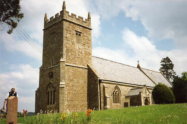
Church of St Mary, Witham Friary

The Church of St Mary in Witham Friary, Somerset, England, dates from around 1200 and it has been designated as a Grade I listed building.The church was...

Witham (Somerset) railway station

This station in Somerset is closed. For the open station in East Anglia, see Witham railway station.Witham (Somerset) railway station was a station serving...

Witham Charterhouse

Witham Charterhouse, also Witham Priory, at Witham Friary, Somerset, was established in 1178/79, the earliest of the ten medieval Carthusian houses (charterhouses...

Church of St Mary, Cloford

The Church of St Mary in Cloford, Wanstrow, Somerset, England was built in the 15th century. It is a Grade II* listed building. == History == The church...

Marston Moat

Marston Moat is the site of a fortified manor house in the parish of Trudoxhill, Somerset, England. It has been designated as a Scheduled Ancient Monument...

Nearby Amenities

Located within 500m of 51.180463,-2.3669652
Colour: grey
Design: three-level
Height: 108.71
Line Attachment: suspension
Material: metal
Operator: National Grid
Operator Wikidata: Q1465461
Power: tower
Ref: ZG165
Source: Bing
Start Date: 1960
Structure: lattice
Lat/Long: 51.1784066/-2.3633724
Colour: grey
Design: three-level
Height: 134.73
Line Attachment: suspension
Material: metal
Operator: National Grid
Operator Wikidata: Q1465461
Power: tower
Ref: ZG164
Source: Bing
Start Date: 1960
Structure: lattice
Lat/Long: 51.1790249/-2.3677383
Colour: grey
Design: three-level
Height: 144.7
Line Attachment: suspension
Material: metal
Operator: National Grid
Operator Wikidata: Q1465461
Power: tower
Ref: ZG163
Source: Bing
Start Date: 1960
Structure: lattice
Lat/Long: 51.1797063/-2.3725375
The data included in this document is from www.openstreetmap.org. The data is made available under ODbL.

Have you been to Church's Wood?

Leave your review of Church's Wood below (or comments, questions and feedback).