Quarry Hill
Hill, Mountain in Somerset Mendip
England
Quarry Hill
Quarry Hill is a prominent hill located in Somerset, England. As its name suggests, the hill was historically associated with the quarrying industry, and evidence of past mining activities can still be seen on its slopes.
With an elevation of approximately 286 meters (938 feet), Quarry Hill offers stunning panoramic views of the surrounding countryside. It is situated near the town of Frome and is part of the Mendip Hills, a range known for its picturesque landscapes and diverse wildlife.
The hill is characterized by its gentle slopes and a mixture of grassy areas and wooded sections. It attracts a variety of outdoor enthusiasts, including hikers, birdwatchers, and nature lovers. A network of footpaths and trails crisscrosses the hill, allowing visitors to explore its natural beauty and discover hidden gems along the way.
The summit of Quarry Hill is crowned by a trig point, providing a focal point for visitors to navigate their surroundings. From this vantage point, one can enjoy breathtaking views of the Somerset Levels, a wetland area renowned for its rich flora and fauna.
In addition to its natural attractions, Quarry Hill also holds historical significance. The quarrying industry that once thrived here played a vital role in the local economy during the 19th and early 20th centuries. Remnants of old quarries and mining infrastructure serve as a reminder of this past.
Overall, Quarry Hill in Somerset is a place of natural beauty, historical interest, and recreational opportunities. Whether seeking a tranquil hike, a glimpse of wildlife, or a chance to learn about the region's industrial heritage, Quarry Hill offers something for every visitor.
If you have any feedback on the listing, please let us know in the comments section below.
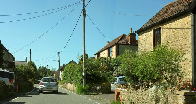
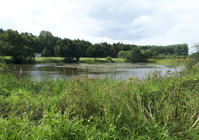
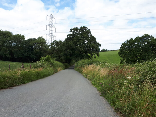
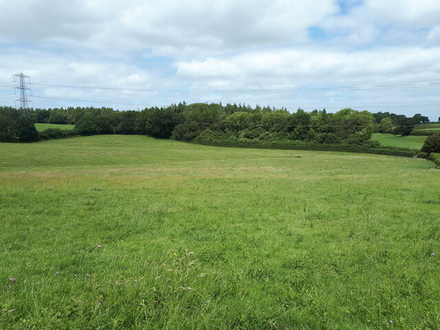
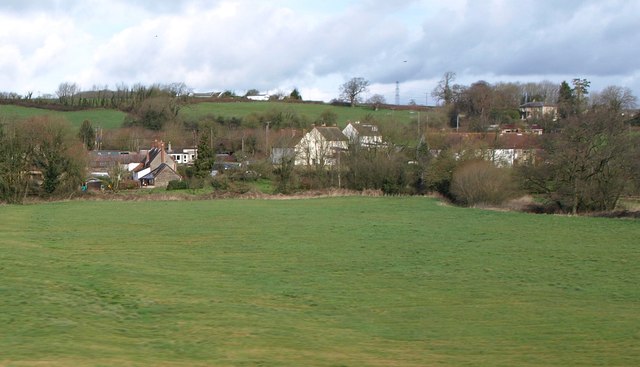
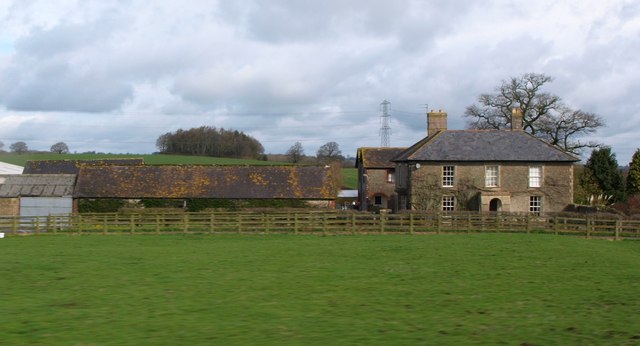
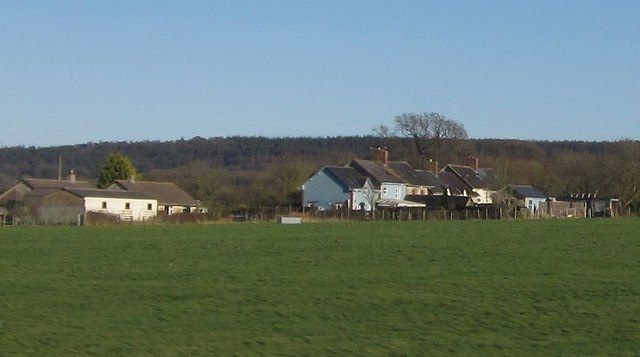
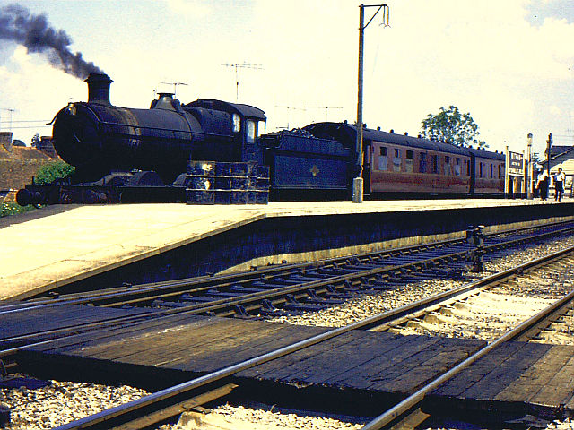
Quarry Hill Images
Images are sourced within 2km of 51.178874/-2.3718166 or Grid Reference ST7442. Thanks to Geograph Open Source API. All images are credited.
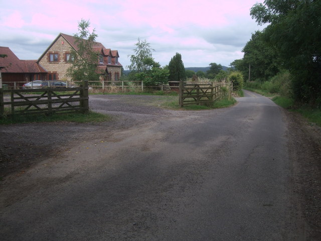
![Bridge over a brook on the road near Witham Hall Farm The [water] Fall marked on the OS map is not visible from the road.](https://s3.geograph.org.uk/geophotos/07/52/99/7529915_00cd80dd.jpg)
Quarry Hill is located at Grid Ref: ST7442 (Lat: 51.178874, Lng: -2.3718166)
Administrative County: Somerset
District: Mendip
Police Authority: Avon and Somerset
What 3 Words
///stammer.sailor.vandalism. Near Frome, Somerset
Nearby Locations
Related Wikis

Postlebury Wood
Postlebury Wood (grid reference ST740430) is an 87 hectare biological Site of Special Scientific Interest south of Trudoxhill in Somerset, notified in...

Witham Friary
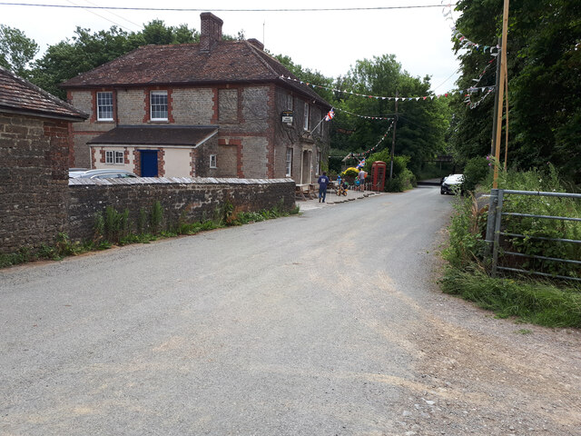
Witham Friary is a small English village and civil parish located between the towns of Frome and Bruton in the county of Somerset. It is in the Cranborne...
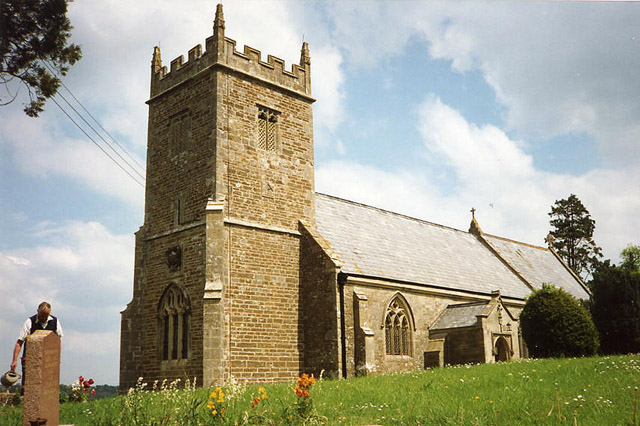
Church of St Mary, Witham Friary
The Church of St Mary in Witham Friary, Somerset, England, dates from around 1200 and it has been designated as a Grade I listed building.The church was...

Trudoxhill
Trudoxhill is a village and civil parish near Nunney in Somerset, England. == History == The name Trudoxhill comes from the Old English treow meaning tree...

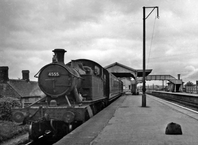
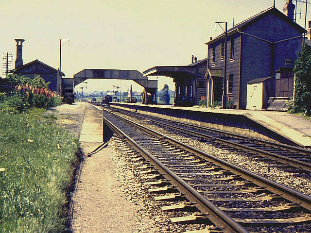
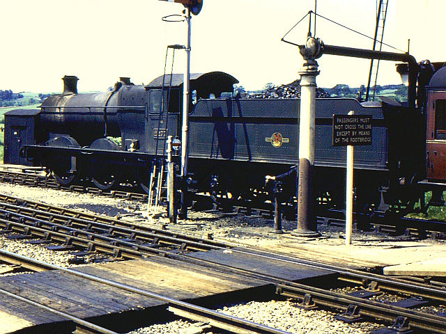
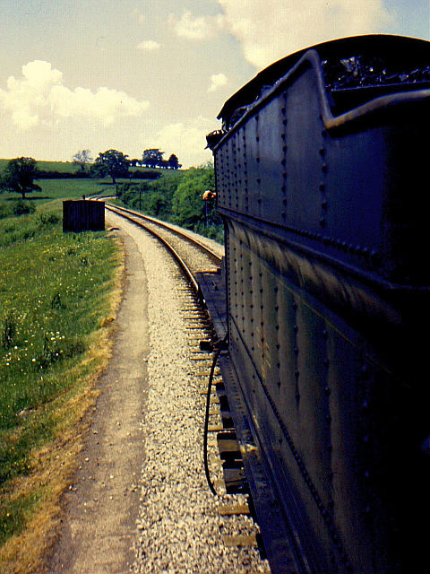
Witham (Somerset) railway station
This station in Somerset is closed. For the open station in East Anglia, see Witham railway station.Witham (Somerset) railway station was a station serving...

Witham Charterhouse
Witham Charterhouse, also Witham Priory, at Witham Friary, Somerset, was established in 1178/79, the earliest of the ten medieval Carthusian houses (charterhouses...
Church of St Mary, Cloford
The Church of St Mary in Cloford, Wanstrow, Somerset, England was built in the 15th century. It is a Grade II* listed building. == History == The church...

Wanstrow
Wanstrow is a village and civil parish 6 miles (9.7 km) south west of Frome in Somerset, England. The parish includes the village of Cloford. == History... ==
Nearby Amenities
Located within 500m of 51.178874,-2.3718166Have you been to Quarry Hill?
Leave your review of Quarry Hill below (or comments, questions and feedback).