Alfold Crossways

Settlement in Surrey Waverley

England

Alfold Crossways

Bungalows on Loxwood Road, Alfold Crossways
Bungalows on Loxwood Road, Alfold Crossways Credit: David Howard

Alfold Crossways is a small village located in the county of Surrey, England. It is situated approximately 9 miles south of Guildford and 5 miles west of Cranleigh. The village is surrounded by picturesque countryside, with the Surrey Hills Area of Outstanding Natural Beauty just a short distance away.

Despite its small size, Alfold Crossways has a close-knit community and a peaceful atmosphere. The village is primarily residential, with a mix of traditional cottages and modern houses. There are also a few small businesses and shops serving the local population.

Alfold Crossways benefits from its proximity to several larger towns and cities. The nearby town of Cranleigh offers a range of amenities, including supermarkets, schools, and leisure facilities. Guildford, a bustling market town, provides even more options for shopping, entertainment, and employment opportunities.

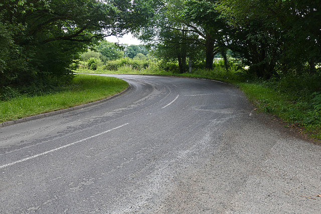
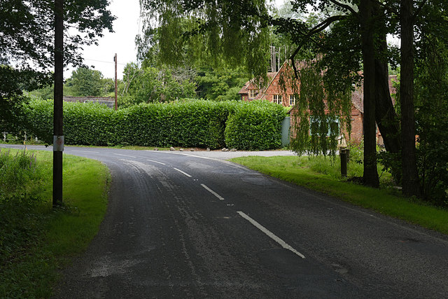
The village is well-connected by road, with the A281 passing through nearby. This makes it easily accessible for commuters and provides convenient links to other parts of Surrey and beyond. Additionally, the village is served by a few bus routes, ensuring residents have access to public transportation.

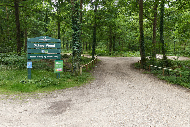
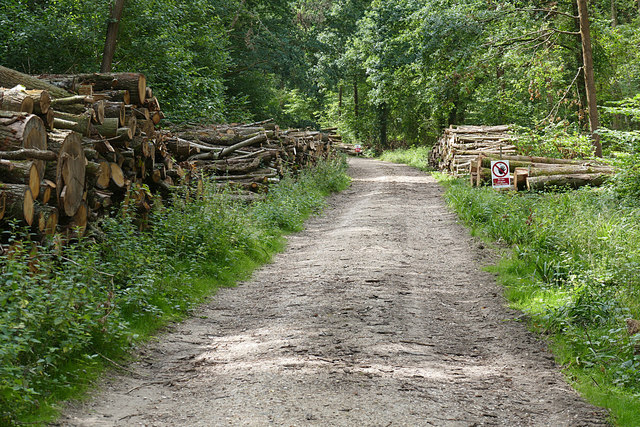
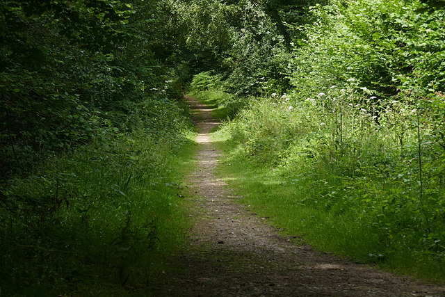
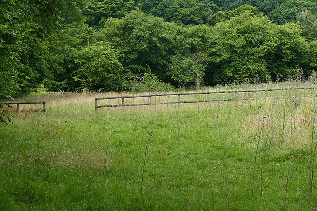
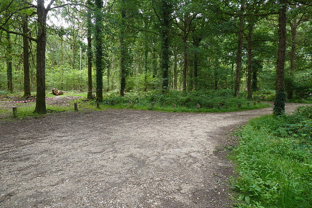
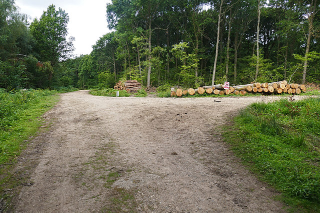
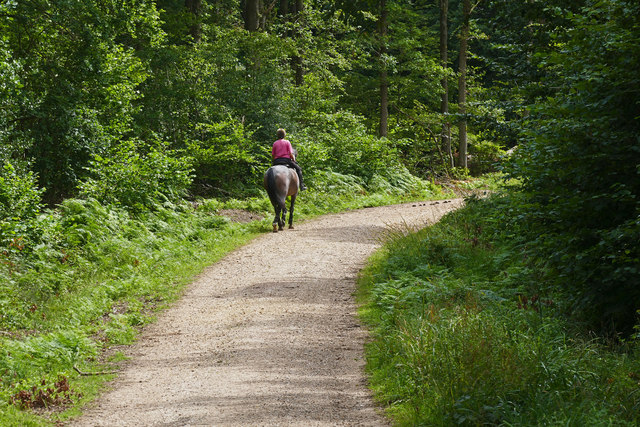
For those seeking outdoor activities, Alfold Crossways is ideally located. The Surrey Hills, with its beautiful landscapes and numerous walking and cycling trails, is a popular destination for locals and visitors alike. The area also offers opportunities for horse riding, fishing, and golfing.

In summary, Alfold Crossways is a charming village in Surrey that offers a peaceful rural lifestyle while still being within easy reach of larger towns and cities. With its beautiful surroundings and community spirit, it is an attractive place to live for those seeking a slower pace of life.

If you have any feedback on the listing, please let us know in the comments section below.

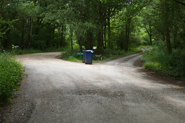
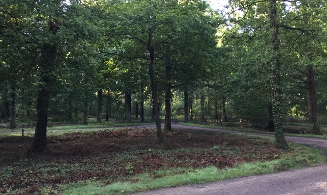
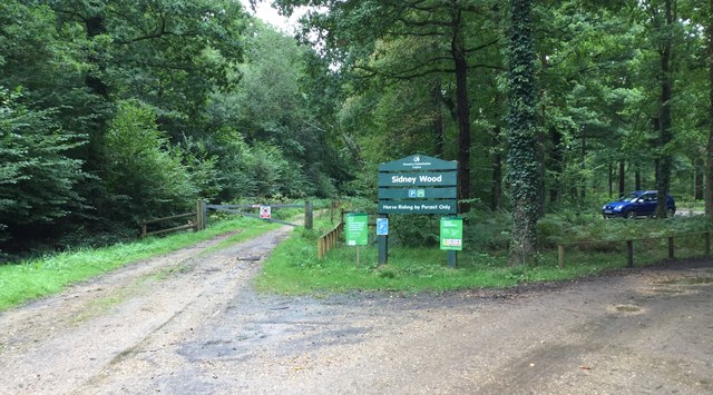
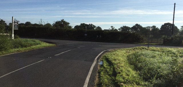
Alfold Crossways Images

Images are sourced within 2km of 51.108042/-0.515084 or Grid Reference TQ0435. Thanks to Geograph Open Source API. All images are credited.

Bungalows on Loxwood Road, Alfold Crossways
Loxwood Road, Alfold Crossways
Sidney Wood car park The entrance to the car park in Sidney Wood, part of the Forest Enterprise Chiddingfold Forest complex.
Sidney Wood car park
The entrance to the car park in Sidney Wood, part of the Forest Enterprise Chiddingfold Forest complex.
Wood piles, Sidney Wood A track lined with recently harvested wood in this Forest Enterprise wood near Dunsfold.
Wood piles, Sidney Wood
A track lined with recently harvested wood in this Forest Enterprise wood near Dunsfold.
Dunsfold Road The rural road running south of the airfield from the entrance to Sidney Wood.
Dunsfold Road
The rural road running south of the airfield from the entrance to Sidney Wood.
Barrier, Sidney Wood A barrier across the track into Sidney Wood with the entrance to the carpark on the left just beyond.
Barrier, Sidney Wood
A barrier across the track into Sidney Wood with the entrance to the carpark on the left just beyond.
Overgrown track, Sidney Wood A shaded track through Sidney Wood. The left hand side was clear felled in the 1990s, now it is impenetrable.
Overgrown track, Sidney Wood
A shaded track through Sidney Wood. The left hand side was clear felled in the 1990s, now it is impenetrable.
Old paddock, Sidney Wood One of the paddocks off Sachell Hill, a public right of way near Sidney Wood.
Old paddock, Sidney Wood
One of the paddocks off Sachell Hill, a public right of way near Sidney Wood.
Sidney Wood car park The car park in the Forest Enterprise Sidney Wood.
Sidney Wood car park
The car park in the Forest Enterprise Sidney Wood.
Dunsfold Road Looking north towards Tickners Heath Farm.
Dunsfold Road
Looking north towards Tickners Heath Farm.
Forest Tracks, Sidney Wood The junction of two of the main forest tracks through Sidney Wood.
Forest Tracks, Sidney Wood
The junction of two of the main forest tracks through Sidney Wood.
Sachellhill Lane The junction of Sachelhill Lane, a footpath running along the east side of Sidney Wood, with the footpath off to the right towards Alfold.
Sachellhill Lane
The junction of Sachelhill Lane, a footpath running along the east side of Sidney Wood, with the footpath off to the right towards Alfold.
Paddocks, Sedgehurst The Paddocks of Sedgehurst, a property enclosed within the Forest Enterprise Sidney Wood.
Paddocks, Sedgehurst
The Paddocks of Sedgehurst, a property enclosed within the Forest Enterprise Sidney Wood.
Horse rider, Sidney Wood A horse rider on one of the main forestry tracks running through Sidney Wood.
Horse rider, Sidney Wood
A horse rider on one of the main forestry tracks running through Sidney Wood.
The road to Sedgehurst The private road to Sedgehurst, a smallholding in Sidney Wood branching off from the car park access track.
The road to Sedgehurst
The private road to Sedgehurst, a smallholding in Sidney Wood branching off from the car park access track.
Sidney Wood Car Park Early morning at the car park.
Sidney Wood Car Park
Early morning at the car park.
Entrance to Sidney Wood Car Park The Forestry Commission Car Park at Sidney Wood.
Entrance to Sidney Wood Car Park
The Forestry Commission Car Park at Sidney Wood.
Road Junction at Laker's Green Approaching the road junction where the Wey-South Path turns off.
Road Junction at Laker's Green
Approaching the road junction where the Wey-South Path turns off.
Show me another place!

Alfold Crossways is located at Grid Ref: TQ0435 (Lat: 51.108042, Lng: -0.515084)

Administrative County: Surrey

District: Waverley

Police Authority: Surrey

What 3 Words

///mandolin.commutes.delusions. Near Cranleigh, Surrey

Related Wikis

Nearby Amenities

Located within 500m of 51.108042,-0.515084
Alfold Crossways
Is In: Surrey
Place: village
Lat/Long: 51.1079195/-0.51503
Bus Stop
Clappers Meadow
Naptan AtcoCode: 40004411041A
Naptan Bearing: S
Naptan CommonName: Clappers Meadow
Naptan Indicator: Just after
Naptan Landmark: Clappers Meadow
Naptan NaptanCode: surdtgtm
Naptan Street: Loxwood Road
Naptan Verified: no
Public Transport: platform
Source: naptan_import
Lat/Long: 51.1047668/-0.5163968
Bus Stop
Clappers Meadow
Naptan AtcoCode: 40004411041B
Naptan Bearing: N
Naptan BusStopType: CUS
Naptan CommonName: Clappers Meadow
Naptan Indicator: Just Before
Naptan Landmark: Clappers Meadow
Naptan NaptanCode: surgpaja
Naptan Street: Loxwood Road
Naptan Verified: no
Public Transport: platform
Source: naptan_import
Lat/Long: 51.1051887/-0.516367
Bus Stop
Alfold Crossways
Naptan AtcoCode: 40004411042A
Naptan Bearing: SW
Naptan CommonName: Crossways
Naptan Indicator: Just after
Naptan Landmark: Alfold Crossways
Naptan NaptanCode: surdtgtp
Naptan Street: Loxwood Road
Naptan Verified: no
Public Transport: platform
Source: naptan_import
Lat/Long: 51.1067346/-0.5150469
Bus Stop
Alfold Crossways
Naptan AtcoCode: 40004411042B
Naptan Bearing: NW
Naptan BusStopType: CUS
Naptan CommonName: Crossways
Naptan Indicator: adj
Naptan Landmark: Alfold Crossways
Naptan NaptanCode: surdtgtw
Naptan Street: Loxwood Road
Naptan Verified: no
Public Transport: platform
Source: naptan_import
Lat/Long: 51.1078485/-0.5152054
Bus Stop
Alfold Crossways
Naptan AtcoCode: 40004411042C
Naptan Bearing: SE
Naptan BusStopType: CUS
Naptan CommonName: Crossways
Naptan Indicator: Just Before
Naptan Landmark: Alfold Crossways
Naptan NaptanCode: surdtgwa
Naptan Street: Dunsfold Road
Naptan Verified: no
Public Transport: platform
Source: naptan_import
Lat/Long: 51.1084252/-0.5156989
Alford Mower Centre
Shop: lawn_mower
Lat/Long: 51.1083467/-0.515501
Post Box
Collection Plate: CP7
Collection Times: Mo-Fr 16:45; Sa 10:30
Operator: Royal Mail
Post Box Type: lamp
Ref: GU6 225
Royal Cypher: EIIR
Royal Cypher Wikidata: Q33102113
Lat/Long: 51.1082094/-0.5155863
Power: substation
Lat/Long: 51.1084309/-0.5160355
Give Way
Direction: forward
Lat/Long: 51.1081153/-0.515305
M&S Simply Food
Brand: M&S Simply Food
Brand Wikidata: Q714491
Contact Website: https://www.marksandspencer.com/stores/alfold-bp-2049
Shop: convenience
Lat/Long: 51.1048602/-0.510182
Atm
Note: Charges for cash withdrawal
Lat/Long: 51.1048248/-0.5102222
Addr Housename: Brockhurst Cottages
Lat/Long: 51.1092955/-0.5163605
Addr Housenumber: 1
Lat/Long: 51.1094631/-0.5168109
Addr Housenumber: 5
Lat/Long: 51.1094039/-0.5162072
Addr Housenumber: 10
Lat/Long: 51.1089734/-0.5161249
Addr Housenumber: 16-17
Lat/Long: 51.1096715/-0.5158888
Addr Housenumber: 14-15
Lat/Long: 51.1096769/-0.5157544
Addr Housenumber: 1
Lat/Long: 51.1089777/-0.5150041
Addr Housenumber: 6
Lat/Long: 51.109373/-0.5148361
Addr Housename: Welby Cottage
Lat/Long: 51.1088169/-0.515084
Addr Housename: Carters Croft
Lat/Long: 51.1087379/-0.5151319
Addr Housenumber: 1
Lat/Long: 51.1086849/-0.5157924
Addr Housenumber: 4
Lat/Long: 51.1085736/-0.5156382
Addr Housename: East View
Addr Housenumber: 1
Lat/Long: 51.1093744/-0.5174337
Addr Housenumber: 2
Lat/Long: 51.1093202/-0.5173597
Addr Housename: Bluebells
Lat/Long: 51.1091287/-0.5170855
Addr Housename: Byways
Lat/Long: 51.1090852/-0.5170162
Addr Housename: Arbre
Lat/Long: 51.1088966/-0.5167605
Addr Housename: Hedgerow
Lat/Long: 51.1088076/-0.5166233
Addr Housenumber: 2
Lat/Long: 51.108595/-0.5162318
Addr Housenumber: 1
Lat/Long: 51.1085407/-0.5161566
The data included in this document is from www.openstreetmap.org. The data is made available under ODbL.

Have you been to Alfold Crossways?

Leave your review of Alfold Crossways below (or comments, questions and feedback).