Little Wildwood Copse

Wood, Forest in Surrey Waverley

England

Little Wildwood Copse

Downs Link near Cranleigh The Downs Link path follows a dismantled railway line for most of its length.  It also forms part of route 223 of the National Cycle Network.
Downs Link near Cranleigh Credit: Malc McDonald

Little Wildwood Copse is a picturesque woodland located in the county of Surrey, England. Covering an area of approximately 10 acres, it is nestled within the scenic countryside near the village of Wildwood. The copse is renowned for its natural beauty, offering visitors a tranquil and immersive experience in the heart of nature.

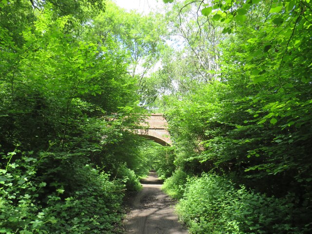
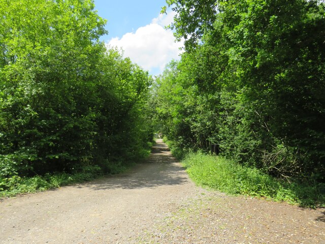
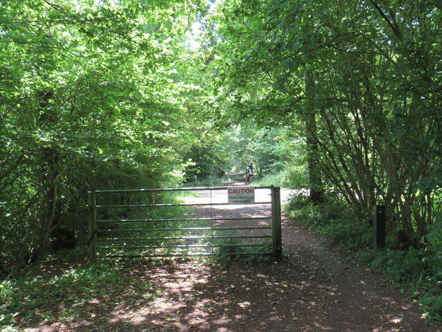
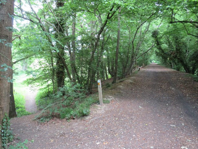
The wood is predominantly composed of native tree species, including oak, beech, and birch, which create a dense canopy overhead, providing shade and a cool atmosphere during hot summer months. The forest floor is carpeted with a rich diversity of flora, such as bluebells, wood anemones, and wild garlic, adding vibrant colors to the woodland scenery.

Little Wildwood Copse is a haven for wildlife enthusiasts, as it is home to a wide range of animal species. Visitors may spot squirrels darting through the trees, rabbits nibbling on grass, and various bird species, including song thrushes and woodpeckers. The copse also provides habitats for lesser-known creatures like badgers, foxes, and bats.

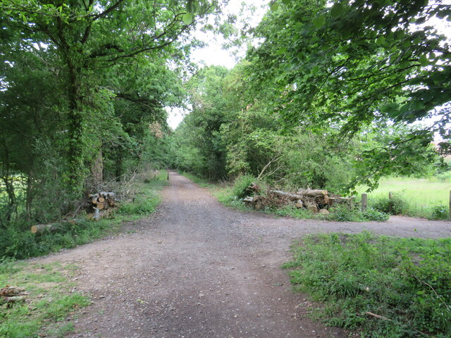
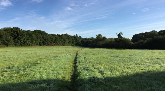
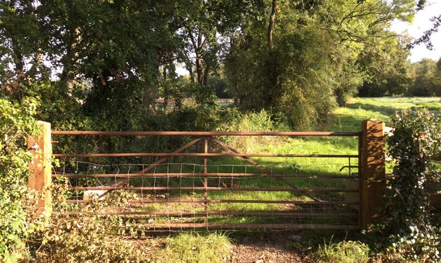
A network of well-maintained footpaths winds its way through the copse, allowing visitors to explore the woodland at their own pace. These paths offer stunning views of the surrounding countryside, making it an ideal spot for hiking, nature walks, and photography.

Little Wildwood Copse is not only a place of natural beauty but also a site of historical significance. It is believed to have been part of a larger forest that once covered this region in medieval times. The copse continues to be cherished by locals and visitors alike, offering a peaceful retreat from the hustle and bustle of everyday life.

If you have any feedback on the listing, please let us know in the comments section below.

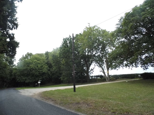
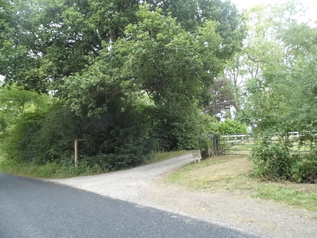
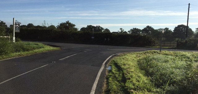
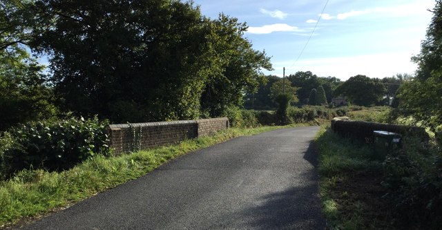
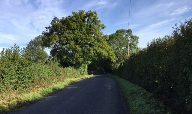
Little Wildwood Copse Images

Images are sourced within 2km of 51.113486/-0.50142078 or Grid Reference TQ0435. Thanks to Geograph Open Source API. All images are credited.

Downs Link near Cranleigh The Downs Link path follows a dismantled railway line for most of its length.  It also forms part of route 223 of the National Cycle Network.
Downs Link near Cranleigh
The Downs Link path follows a dismantled railway line for most of its length. It also forms part of route 223 of the National Cycle Network.
Farm track near Cranleigh A track leading to a farm in the Surrey countryside near Cranleigh.
Farm track near Cranleigh
A track leading to a farm in the Surrey countryside near Cranleigh.
Downs Link near Cranleigh The Downs Link path follows a dismantled railway line for most of its length.  It also forms part of route 223 of the National Cycle Network.
Downs Link near Cranleigh
The Downs Link path follows a dismantled railway line for most of its length. It also forms part of route 223 of the National Cycle Network.
Downs Link near Cranleigh The Downs Link path follows a dismantled railway line for most of its length.  It also forms part of route 223 of the National Cycle Network.  Here, the former railway line ran along an embankment.  A footpath descends to the left.
Downs Link near Cranleigh
The Downs Link path follows a dismantled railway line for most of its length. It also forms part of route 223 of the National Cycle Network. Here, the former railway line ran along an embankment. A footpath descends to the left.
Downs Link near Cranleigh The Downs Link path follows a dismantled railway line for most of its length.  It also forms part of route 223 of the National Cycle Network.
Downs Link near Cranleigh
The Downs Link path follows a dismantled railway line for most of its length. It also forms part of route 223 of the National Cycle Network.
Bungalows on Loxwood Road, Alfold Crossways
Loxwood Road, Alfold Crossways
Alfold Road south of Cranleigh
Farm entrance on Alfold Road
Road Junction at Laker's Green Approaching the road junction where the Wey-South Path turns off.
Road Junction at Laker's Green
Approaching the road junction where the Wey-South Path turns off.
Roadside Sign for the Public House At the road junction at Laker's Green a roadside sign for the local inn nearby. Note the rubbish left at the time.
Roadside Sign for the Public House
At the road junction at Laker's Green a roadside sign for the local inn nearby. Note the rubbish left at the time.
The Three Compasses The Three Compasses public house at Laker's Green.
The Three Compasses
The Three Compasses public house at Laker's Green.
Fields near Laker's Green Fields near to Laker's Green looking along the route of the Wey-South Path.
Fields near Laker's Green
Fields near to Laker's Green looking along the route of the Wey-South Path.
Farnhurst Bridge Farnhurst Bridge and the disused Wey and Arun Canal. The waters are now looking very green compared to the photo <a href="https://www.geograph.org.uk/photo/2451757">TQ0336 : Farnhurst Bridge looking towards the Arun</a> taken 6 years previously.
Farnhurst Bridge
Farnhurst Bridge and the disused Wey and Arun Canal. The waters are now looking very green compared to the photo TQ0336 : Farnhurst Bridge looking towards the Arun taken 6 years previously.
Alford Road The Wey-South Path at the point where it crosses the Alford road.
Alford Road
The Wey-South Path at the point where it crosses the Alford road.
Close to the Wey and Arun Canal A roadside gate near to Alford Crossways beyond which the disused Wey and Arun Canal is now lined by trees.
Close to the Wey and Arun Canal
A roadside gate near to Alford Crossways beyond which the disused Wey and Arun Canal is now lined by trees.
Flash Bridge Approaching Flash Bridge on the Wey-South Path.
Flash Bridge
Approaching Flash Bridge on the Wey-South Path.
Heading North on the Alford Road Looking northwards on the Alford Road along the Wey-South Path.
Heading North on the Alford Road
Looking northwards on the Alford Road along the Wey-South Path.
Show me another place!

Little Wildwood Copse is located at Grid Ref: TQ0435 (Lat: 51.113486, Lng: -0.50142078)

Administrative County: Surrey

District: Waverley

Police Authority: Surrey

What 3 Words

///clothed.streak.hairspray. Near Cranleigh, Surrey

Related Wikis

Nearby Amenities

Located within 500m of 51.113486,-0.50142078
Barrier: stile
Lat/Long: 51.1149025/-0.4953717
The data included in this document is from www.openstreetmap.org. The data is made available under ODbL.

Have you been to Little Wildwood Copse?

Leave your review of Little Wildwood Copse below (or comments, questions and feedback).