Roman Hills Copse

Wood, Forest in Surrey Waverley

England

Roman Hills Copse

Downs Link near Cranleigh The Downs Link path follows a dismantled railway line for most of its length.  It also forms part of route 223 of the National Cycle Network.
Downs Link near Cranleigh Credit: Malc McDonald

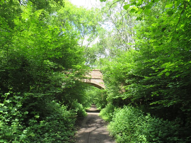
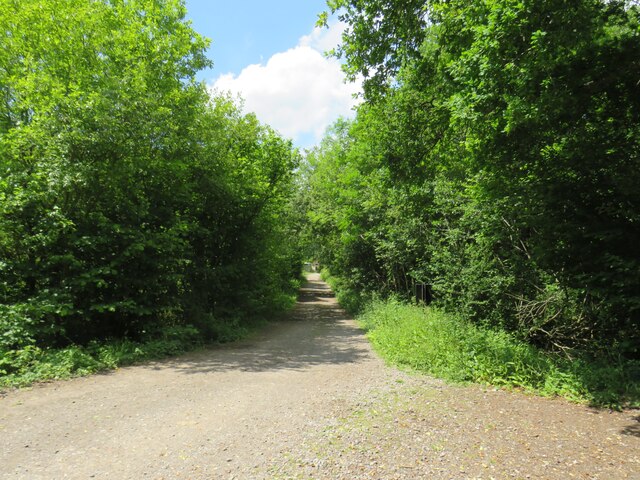
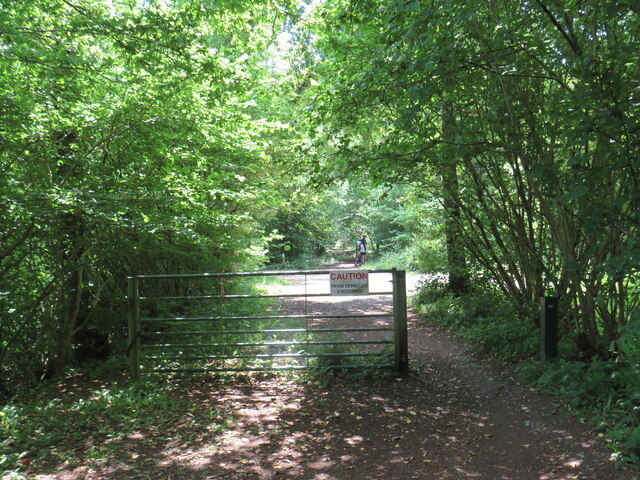
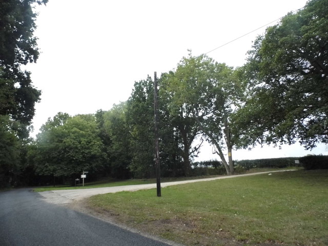
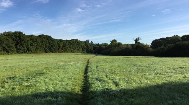
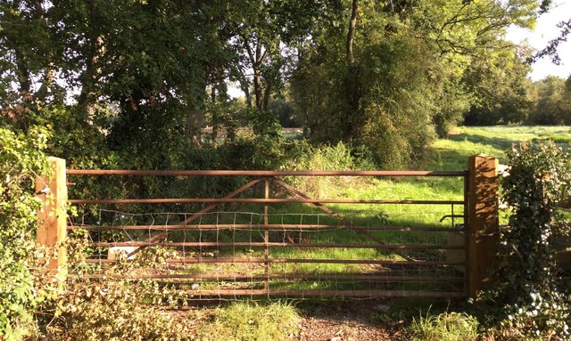
Roman Hills Copse is a picturesque woodland area located in Surrey, England. Covering an area of approximately 100 acres, this ancient woodland is a haven for nature enthusiasts and offers a tranquil escape from the bustling city life.

The copse is primarily composed of a mixture of broadleaf trees, including oak, beech, and chestnut. These towering trees create a dense canopy, casting dappled sunlight onto the forest floor below. The undergrowth is rich and diverse, with an array of wildflowers, ferns, and mosses thriving in the moist and shaded environment.

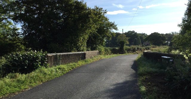
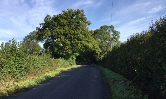
The woodland is crisscrossed by a network of well-maintained footpaths, allowing visitors to explore its various nooks and crannies. These paths wind through the forest, leading to secluded clearings and hidden ponds, which are home to a variety of wildlife. Birdwatchers will delight in the chance to spot woodpeckers, owls, and various species of songbirds that call Roman Hills Copse their home.

In addition to its natural beauty, Roman Hills Copse also holds historical significance. The name "Roman Hills" stems from the Roman history of the area, as remnants of Roman pottery and coins have been discovered within the woodland. This adds an extra layer of intrigue and fascination for history buffs who visit the copse.

Overall, Roman Hills Copse is a true gem in the Surrey countryside. Its ancient trees, diverse wildlife, and historical significance make it a must-visit destination for those seeking a peaceful and enriching connection with nature.

If you have any feedback on the listing, please let us know in the comments section below.

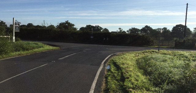
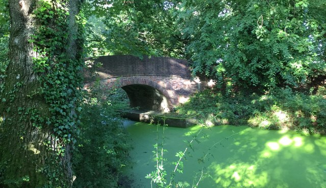
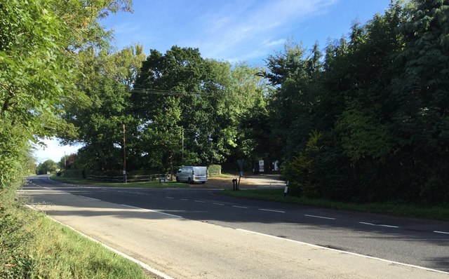
Roman Hills Copse Images

Images are sourced within 2km of 51.109175/-0.50326016 or Grid Reference TQ0435. Thanks to Geograph Open Source API. All images are credited.

Downs Link near Cranleigh The Downs Link path follows a dismantled railway line for most of its length.  It also forms part of route 223 of the National Cycle Network.
Downs Link near Cranleigh
The Downs Link path follows a dismantled railway line for most of its length. It also forms part of route 223 of the National Cycle Network.
Farm track near Cranleigh A track leading to a farm in the Surrey countryside near Cranleigh.
Farm track near Cranleigh
A track leading to a farm in the Surrey countryside near Cranleigh.
Downs Link near Cranleigh The Downs Link path follows a dismantled railway line for most of its length.  It also forms part of route 223 of the National Cycle Network.
Downs Link near Cranleigh
The Downs Link path follows a dismantled railway line for most of its length. It also forms part of route 223 of the National Cycle Network.
Bungalows on Loxwood Road, Alfold Crossways
Loxwood Road, Alfold Crossways
Alfold Road south of Cranleigh
Path into woodland in Rikkyo School grounds The woodland is known as The Knob.
Path into woodland in Rikkyo School grounds
The woodland is known as The Knob.
Signpost on bridleway in grounds of Rikkyo School
Road Junction at Laker's Green Approaching the road junction where the Wey-South Path turns off.
Road Junction at Laker's Green
Approaching the road junction where the Wey-South Path turns off.
Roadside Sign for the Public House At the road junction at Laker's Green a roadside sign for the local inn nearby. Note the rubbish left at the time.
Roadside Sign for the Public House
At the road junction at Laker's Green a roadside sign for the local inn nearby. Note the rubbish left at the time.
The Three Compasses The Three Compasses public house at Laker's Green.
The Three Compasses
The Three Compasses public house at Laker's Green.
Fields near Laker's Green Fields near to Laker's Green looking along the route of the Wey-South Path.
Fields near Laker's Green
Fields near to Laker's Green looking along the route of the Wey-South Path.
Farnhurst Bridge Farnhurst Bridge and the disused Wey and Arun Canal. The waters are now looking very green compared to the photo <a href="https://www.geograph.org.uk/photo/2451757">TQ0336 : Farnhurst Bridge looking towards the Arun</a> taken 6 years previously.
Farnhurst Bridge
Farnhurst Bridge and the disused Wey and Arun Canal. The waters are now looking very green compared to the photo TQ0336 : Farnhurst Bridge looking towards the Arun taken 6 years previously.
Alford Road The Wey-South Path at the point where it crosses the Alford road.
Alford Road
The Wey-South Path at the point where it crosses the Alford road.
Close to the Wey and Arun Canal A roadside gate near to Alford Crossways beyond which the disused Wey and Arun Canal is now lined by trees.
Close to the Wey and Arun Canal
A roadside gate near to Alford Crossways beyond which the disused Wey and Arun Canal is now lined by trees.
Flash Bridge Approaching Flash Bridge on the Wey-South Path.
Flash Bridge
Approaching Flash Bridge on the Wey-South Path.
Heading North on the Alford Road Looking northwards on the Alford Road along the Wey-South Path.
Heading North on the Alford Road
Looking northwards on the Alford Road along the Wey-South Path.
Lion's Lane Walking along Lion's Lane a local Byway.
Lion's Lane
Walking along Lion's Lane a local Byway.
Show me another place!

Roman Hills Copse is located at Grid Ref: TQ0435 (Lat: 51.109175, Lng: -0.50326016)

Administrative County: Surrey

District: Waverley

Police Authority: Surrey

What 3 Words

///carriage.hubcaps.spring. Near Cranleigh, Surrey

Related Wikis

Alfold F.C.

Alfold Football Club is a football club based in Alfold, Surrey, England. They are currently members of the Southern Combination Division One and play...

London to Portsmouth canal

The London to Portsmouth canal was a concept for the construction of a secure inland canal route from the British capital of London to the headquarters...

Wey and Arun Canal

The Wey and Arun Canal is a partially open, 23-mile-long (37 km) canal in the southeast of England. It runs southwards from the River Wey at Gunsmouth...

Alfold

Alfold is a village and civil parish in Surrey, England on the West Sussex border. Alfold is a dispersed or polyfocal village in the Green Belt, which...

Rikkyo School in England

Rikkyo School in England (立教英国学院, Rikkyō Eikoku Gakuin) is a Japanese boarding primary and secondary school in Rudgwick, Horsham District, West Sussex...

Dunsfold Aerodrome

Dunsfold Aerodrome (former ICAO code EGTD) is an unlicensed airfield in Surrey, England, near the village of Cranleigh. It extends across land in the villages...

Fir Tree Copse

Fir Tree Copse is a 6-hectare (15-acre) nature reserve south-east of Dunsfold in Surrey. It is managed by the Surrey Wildlife Trust and is part of the...

Top Gear test track

The Top Gear test track is used by the BBC automotive television programme Top Gear. It is located at Dunsfold Aerodrome in Surrey, United Kingdom. The...

Nearby Amenities

Located within 500m of 51.109175,-0.50326016
Great Wildwood Farm
Note Retag: CS #48756035
Place: farm
Source: npe
Lat/Long: 51.1072189/-0.5069372
Moat
Historic: archaeological_site
Lat/Long: 51.107246/-0.5010066
The data included in this document is from www.openstreetmap.org. The data is made available under ODbL.

Have you been to Roman Hills Copse?

Leave your review of Roman Hills Copse below (or comments, questions and feedback).