Moat Copse

Wood, Forest in Surrey Waverley

England

Moat Copse

Downs Link near Cranleigh The Downs Link path follows a dismantled railway line for most of its length.  It also forms part of route 223 of the National Cycle Network.
Downs Link near Cranleigh Credit: Malc McDonald

Moat Copse, located in Surrey, is a picturesque woodland area that offers a tranquil escape from the hustle and bustle of nearby towns. Covering an area of approximately 50 acres, this forested paradise is a haven for nature enthusiasts and offers a diverse range of flora and fauna.

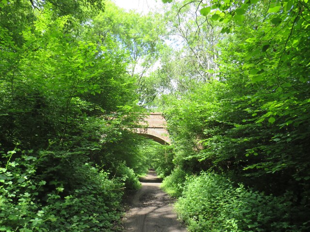
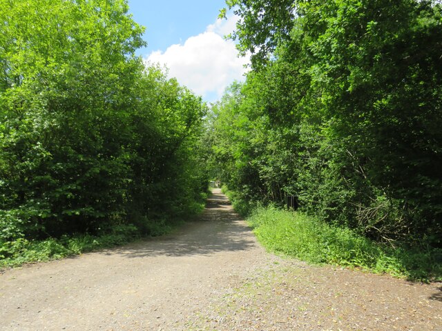
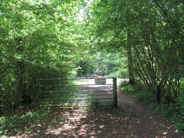
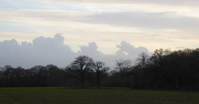
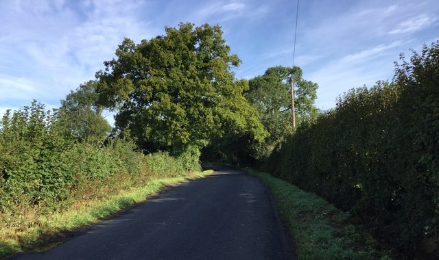
The copse is characterized by its dense canopy of oak, birch, and beech trees, creating a cool and shaded environment even on the warmest of days. Walking through the woodland, visitors are greeted by a carpet of bluebells in the spring, creating a breathtakingly beautiful sight. The forest floor is also adorned with ferns, mosses, and an array of wildflowers, further enhancing the natural beauty of the area.

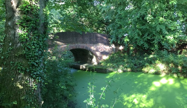
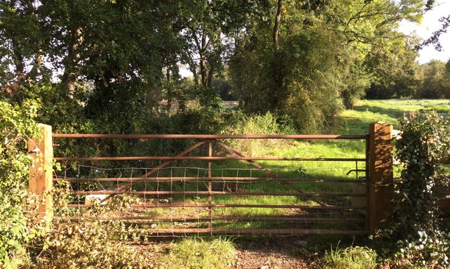
Moat Copse is home to a variety of wildlife, including deer, badgers, foxes, and a wide range of bird species. Birdwatchers will delight in the opportunity to spot woodpeckers, owls, and various songbirds as they explore the forest trails. The copse is also home to several small ponds, attracting a diverse range of aquatic life, including frogs, newts, and dragonflies.

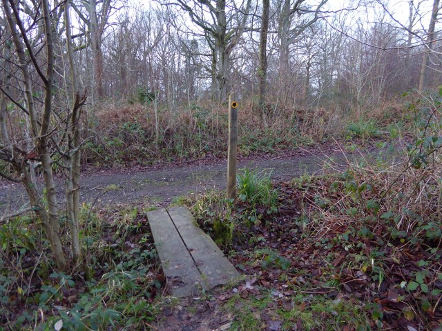
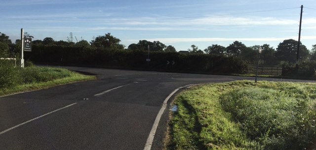
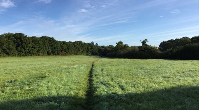
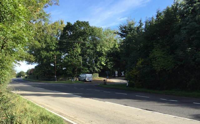
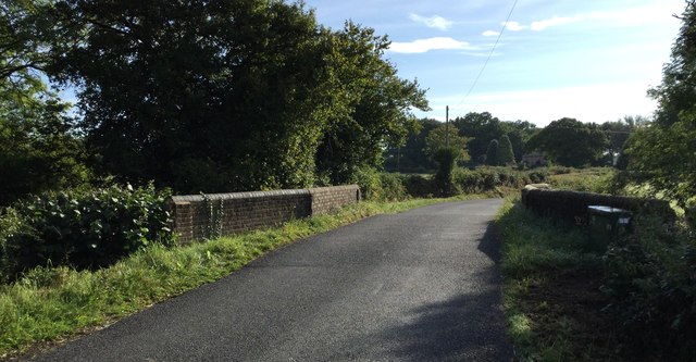
The forest is crisscrossed by a network of well-maintained footpaths, allowing visitors to explore the copse at their own pace. These trails offer a peaceful and serene experience, with the only sounds being the rustling of leaves and the occasional bird song.

Overall, Moat Copse in Surrey is a true natural gem. Its tranquil ambiance, diverse flora and fauna, and well-maintained trails make it a perfect destination for those seeking solace in the beauty of nature.

If you have any feedback on the listing, please let us know in the comments section below.

Moat Copse Images

Images are sourced within 2km of 51.106981/-0.5025311 or Grid Reference TQ0435. Thanks to Geograph Open Source API. All images are credited.

Downs Link near Cranleigh The Downs Link path follows a dismantled railway line for most of its length.  It also forms part of route 223 of the National Cycle Network.
Downs Link near Cranleigh
The Downs Link path follows a dismantled railway line for most of its length. It also forms part of route 223 of the National Cycle Network.
Farm track near Cranleigh A track leading to a farm in the Surrey countryside near Cranleigh.
Farm track near Cranleigh
A track leading to a farm in the Surrey countryside near Cranleigh.
Downs Link near Cranleigh The Downs Link path follows a dismantled railway line for most of its length.  It also forms part of route 223 of the National Cycle Network.
Downs Link near Cranleigh
The Downs Link path follows a dismantled railway line for most of its length. It also forms part of route 223 of the National Cycle Network.
Bungalows on Loxwood Road, Alfold Crossways
Loxwood Road, Alfold Crossways
Footpath crosses track at Clearmount This is in West Sussex.
Footpath crosses track at Clearmount
This is in West Sussex.
Clouds before sunset
Path into woodland in Rikkyo School grounds The woodland is known as The Knob.
Path into woodland in Rikkyo School grounds
The woodland is known as The Knob.
Signpost on bridleway in grounds of Rikkyo School
Road Junction at Laker's Green Approaching the road junction where the Wey-South Path turns off.
Road Junction at Laker's Green
Approaching the road junction where the Wey-South Path turns off.
Roadside Sign for the Public House At the road junction at Laker's Green a roadside sign for the local inn nearby. Note the rubbish left at the time.
Roadside Sign for the Public House
At the road junction at Laker's Green a roadside sign for the local inn nearby. Note the rubbish left at the time.
The Three Compasses The Three Compasses public house at Laker's Green.
The Three Compasses
The Three Compasses public house at Laker's Green.
Fields near Laker's Green Fields near to Laker's Green looking along the route of the Wey-South Path.
Fields near Laker's Green
Fields near to Laker's Green looking along the route of the Wey-South Path.
Farnhurst Bridge Farnhurst Bridge and the disused Wey and Arun Canal. The waters are now looking very green compared to the photo <a href="https://www.geograph.org.uk/photo/2451757">TQ0336 : Farnhurst Bridge looking towards the Arun</a> taken 6 years previously.
Farnhurst Bridge
Farnhurst Bridge and the disused Wey and Arun Canal. The waters are now looking very green compared to the photo TQ0336 : Farnhurst Bridge looking towards the Arun taken 6 years previously.
Alford Road The Wey-South Path at the point where it crosses the Alford road.
Alford Road
The Wey-South Path at the point where it crosses the Alford road.
Close to the Wey and Arun Canal A roadside gate near to Alford Crossways beyond which the disused Wey and Arun Canal is now lined by trees.
Close to the Wey and Arun Canal
A roadside gate near to Alford Crossways beyond which the disused Wey and Arun Canal is now lined by trees.
Flash Bridge Approaching Flash Bridge on the Wey-South Path.
Flash Bridge
Approaching Flash Bridge on the Wey-South Path.
Heading North on the Alford Road Looking northwards on the Alford Road along the Wey-South Path.
Heading North on the Alford Road
Looking northwards on the Alford Road along the Wey-South Path.
Show me another place!

Moat Copse is located at Grid Ref: TQ0435 (Lat: 51.106981, Lng: -0.5025311)

Administrative County: Surrey

District: Waverley

Police Authority: Surrey

What 3 Words

///finishes.choppers.cringes. Near Rudgwick, West Sussex

Related Wikis

Nearby Amenities

Located within 500m of 51.106981,-0.5025311
Great Wildwood Farm
Note Retag: CS #48756035
Place: farm
Source: npe
Lat/Long: 51.1072189/-0.5069372
Moat
Historic: archaeological_site
Lat/Long: 51.107246/-0.5010066
The data included in this document is from www.openstreetmap.org. The data is made available under ODbL.

Have you been to Moat Copse?

Leave your review of Moat Copse below (or comments, questions and feedback).