Alfold Bars

Settlement in Sussex Chichester

England

Alfold Bars

Barberry Bridge, River Lox Public footpath 622_1 crosses an interesting brick bridge. Its muddy state suggests the river often floods. This is looking upstream.
Barberry Bridge, River Lox Credit: Robin Webster

Alfold Bars is a small village located in the county of Sussex, England. Situated in the southeastern part of the county, it is surrounded by picturesque countryside and offers a tranquil and idyllic setting.

The village is known for its historic charm and is home to a number of traditional cottages and buildings, showcasing the architectural heritage of the area. One notable feature of Alfold Bars is the beautiful St. Nicholas Church, a Grade II listed building that dates back to the 12th century. The church serves as a focal point for the community and is frequented by both locals and visitors.

Despite its small size, Alfold Bars provides a range of amenities for its residents. These include a local pub, which is a popular gathering spot for villagers, offering a friendly and welcoming atmosphere. The village also has a primary school, ensuring that families have access to education within their community.

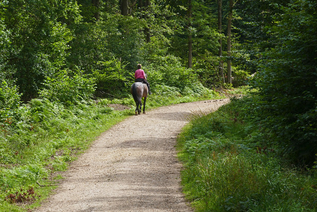
Nature enthusiasts are drawn to Alfold Bars for its proximity to the Surrey Hills Area of Outstanding Natural Beauty, which lies just to the north. This provides ample opportunities for outdoor activities such as hiking, cycling, and horseback riding. The nearby rivers and lakes also offer chances for fishing and boating.

Overall, Alfold Bars is a charming village that offers a peaceful escape from the hustle and bustle of city life. Its history, natural beauty, and community spirit make it an attractive place to live or visit for those seeking a quintessential English countryside experience.

If you have any feedback on the listing, please let us know in the comments section below.
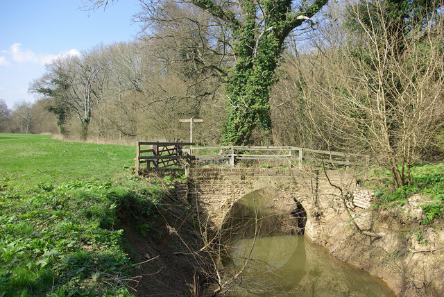
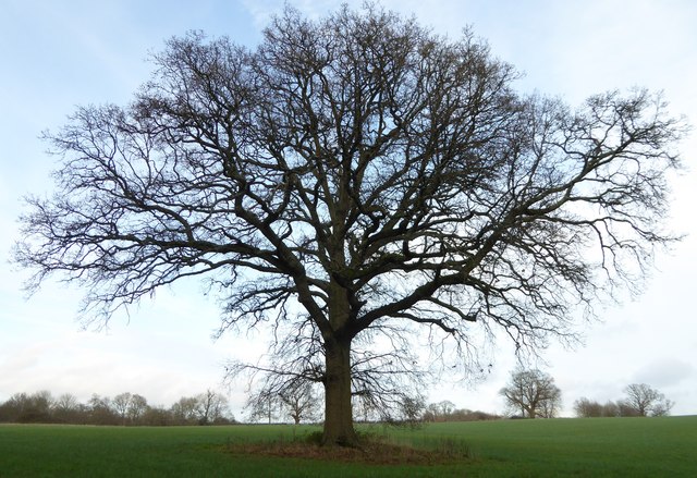
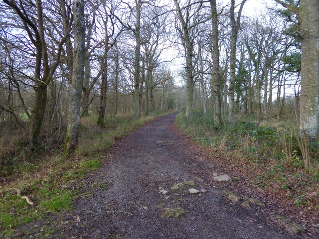
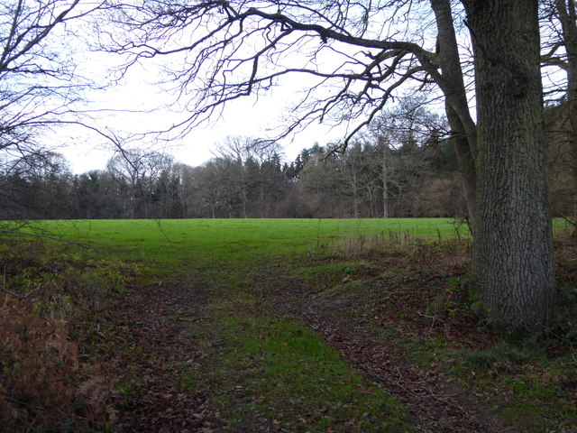
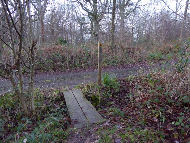
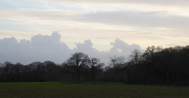
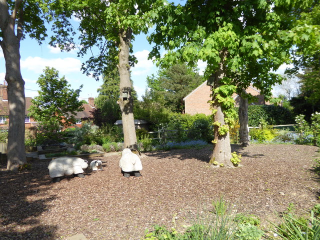
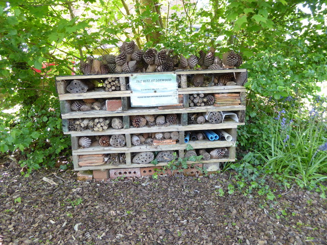
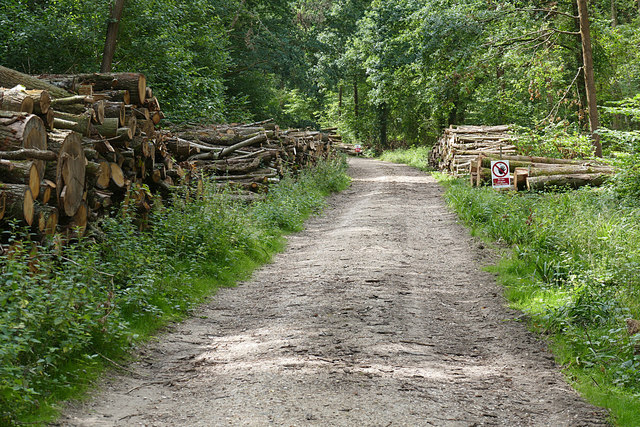
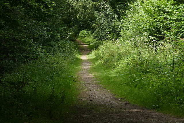
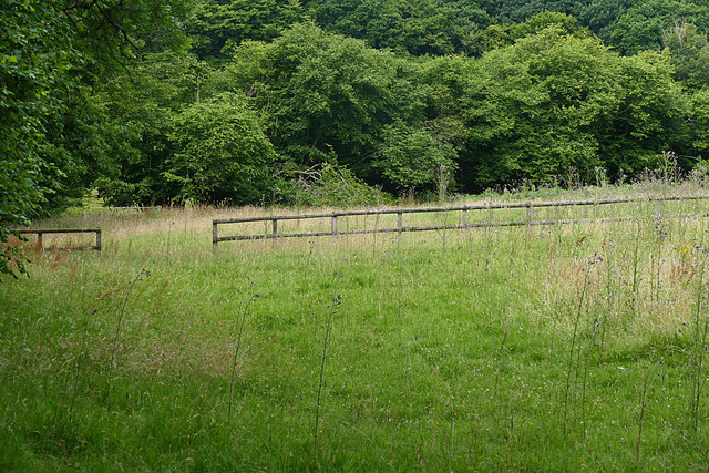
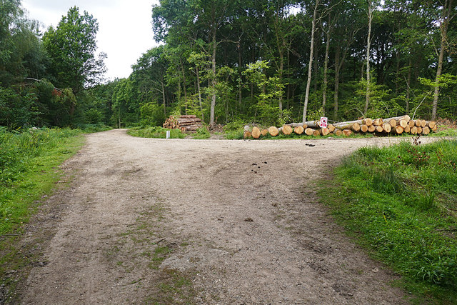
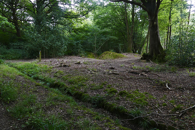
Alfold Bars Images

Images are sourced within 2km of 51.08959/-0.520873 or Grid Reference TQ0333. Thanks to Geograph Open Source API. All images are credited.

Barberry Bridge, River Lox Public footpath 622_1 crosses an interesting brick bridge. Its muddy state suggests the river often floods. This is looking upstream.
Barberry Bridge, River Lox
Public footpath 622_1 crosses an interesting brick bridge. Its muddy state suggests the river often floods. This is looking upstream.
Bungalows on Loxwood Road, Alfold Crossways
Loxwood Road, Alfold Crossways
Tree west of Barnsfield
Bridleway goes north towards Hope Rough
Diagonal view across field in Hope Rough This is in West Sussex.
Diagonal view across field in Hope Rough
This is in West Sussex.
Footpath crosses track at Clearmount This is in West Sussex.
Footpath crosses track at Clearmount
This is in West Sussex.
Clouds before sunset
Sheep in Loxwood Diamond Jubilee Community Garden
Superior accommodation in Loxwood Diamond Jubilee Community Garden
Wood piles, Sidney Wood A track lined with recently harvested wood in this Forest Enterprise wood near Dunsfold.
Wood piles, Sidney Wood
A track lined with recently harvested wood in this Forest Enterprise wood near Dunsfold.
Overgrown track, Sidney Wood A shaded track through Sidney Wood. The left hand side was clear felled in the 1990s, now it is impenetrable.
Overgrown track, Sidney Wood
A shaded track through Sidney Wood. The left hand side was clear felled in the 1990s, now it is impenetrable.
Old paddock, Sidney Wood One of the paddocks off Sachell Hill, a public right of way near Sidney Wood.
Old paddock, Sidney Wood
One of the paddocks off Sachell Hill, a public right of way near Sidney Wood.
Forest Tracks, Sidney Wood The junction of two of the main forest tracks through Sidney Wood.
Forest Tracks, Sidney Wood
The junction of two of the main forest tracks through Sidney Wood.
Sachellhill Lane The junction of Sachelhill Lane, a footpath running along the east side of Sidney Wood, with the footpath off to the right towards Alfold.
Sachellhill Lane
The junction of Sachelhill Lane, a footpath running along the east side of Sidney Wood, with the footpath off to the right towards Alfold.
Horse rider, Sidney Wood A horse rider on one of the main forestry tracks running through Sidney Wood.
Horse rider, Sidney Wood
A horse rider on one of the main forestry tracks running through Sidney Wood.
Farms north of Loxwood from the air Songhurst Furze is the large wood on the left; Old and New Songhurst farms lie a little away from the wood's edge. The farm buildings by the wood's corner go unnamed on maps; just to their right is Songhurst. At lower right is Alfold Bars; Loxwood is at upper right.
Farms north of Loxwood from the air
Songhurst Furze is the large wood on the left; Old and New Songhurst farms lie a little away from the wood's edge. The farm buildings by the wood's corner go unnamed on maps; just to their right is Songhurst. At lower right is Alfold Bars; Loxwood is at upper right.
Horsham Road The Horsham Road near to Pallinghurst Farm.
Horsham Road
The Horsham Road near to Pallinghurst Farm.
Show me another place!

Alfold Bars is located at Grid Ref: TQ0333 (Lat: 51.08959, Lng: -0.520873)

Administrative County: West Sussex

District: Chichester

Police Authority: Sussex

What 3 Words

///leopard.funny.ordeals. Near Rudgwick, West Sussex

Nearby Locations

Alfold Bars Alfold

Related Wikis

Alfold

Alfold is a village and civil parish in Surrey, England on the West Sussex border. Alfold is a dispersed or polyfocal village in the Green Belt, which...

Loxwood

Loxwood is a small village and civil parish with several outlying settlements, in the Chichester district of West Sussex, England, within the Low Weald...

Alfold F.C.

Alfold Football Club is a football club based in Alfold, Surrey, England. They are currently members of the Southern Combination Division One and play...

Fir Tree Copse

Fir Tree Copse is a 6-hectare (15-acre) nature reserve south-east of Dunsfold in Surrey. It is managed by the Surrey Wildlife Trust and is part of the...

Rikkyo School in England

Rikkyo School in England (立教英国学院, Rikkyō Eikoku Gakuin) is a Japanese boarding primary and secondary school in Rudgwick, Horsham District, West Sussex...

Ifold

Ifold is a hamlet in West Sussex and part of the civil Parish of Plaistow, of which it is the largest settlement. Ifold is classified as a hamlet, because...

Wey and Arun Canal

The Wey and Arun Canal is a partially open, 23-mile-long (37 km) canal in the southeast of England. It runs southwards from the River Wey at Gunsmouth...

Dunsfold Aerodrome

Dunsfold Aerodrome (former ICAO code EGTD) is an unlicensed airfield in Surrey, England, near the village of Cranleigh. It extends across land in the villages...

Nearby Amenities

Located within 500m of 51.08959,-0.520873
Loxwood House
Place: isolated_dwelling
Source: npe
Lat/Long: 51.0877928/-0.5191834
Post Box
Collection Plate: CP7D
Collection Times: Mo-Fr 09:00; Sa 07:00
Old Ref: RH14 44
Operator: Royal Mail
Post Box Type: lamp
Ref: RH14 44D
Royal Cypher: EIIR
Royal Cypher Wikidata: Q33102113
Lat/Long: 51.0898751/-0.5207947
Fountain
Lat/Long: 51.088376/-0.5201222
Alfold Bars
Place: village
Lat/Long: 51.0891202/-0.5201632
The data included in this document is from www.openstreetmap.org. The data is made available under ODbL.

Have you been to Alfold Bars?

Leave your review of Alfold Bars below (or comments, questions and feedback).