Alfold

Settlement in Surrey Waverley

England

Alfold

Barberry Bridge, River Lox Public footpath 622_1 crosses an interesting brick bridge. Its muddy state suggests the river often floods. This is looking upstream.
Barberry Bridge, River Lox Credit: Robin Webster

Alfold is a small village located in the county of Surrey, England. Situated in the borough of Waverley, it lies approximately 10 miles south of Guildford and 5 miles west of Cranleigh. With a population of around 1,000 residents, Alfold is known for its picturesque countryside and tranquil atmosphere.

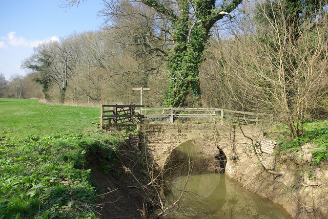
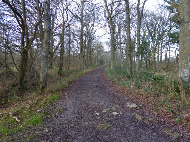
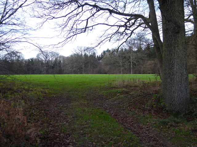
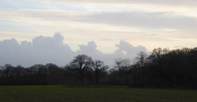
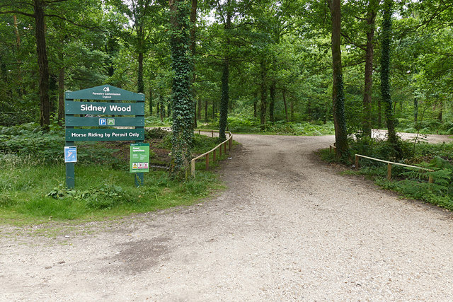
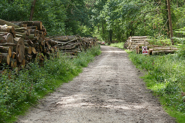
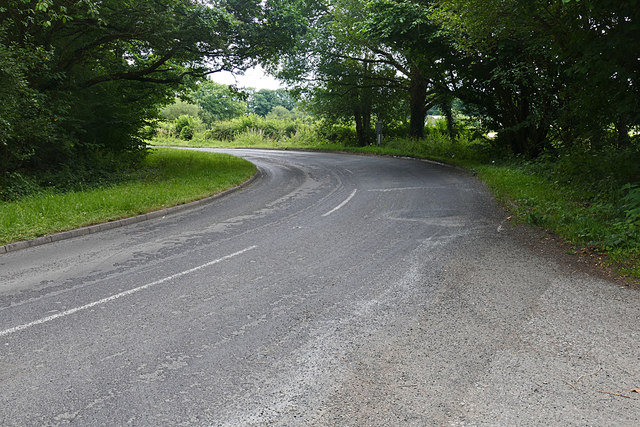
The village is surrounded by stunning natural beauty, with rolling hills, woodlands, and farmland dominating the landscape. The nearby Surrey Hills Area of Outstanding Natural Beauty offers residents and visitors ample opportunities for outdoor activities such as hiking, cycling, and horse riding.

Alfold is home to a few amenities, including a village shop, a post office, and a traditional pub. The village's church, St. Nicholas, is a Grade II listed building and serves as a focal point for the community. The village also has a primary school, providing education for local children.

Despite its small size, Alfold has a rich history. The area was first recorded in the Domesday Book in 1086 and has seen various developments over the centuries. It was historically an agricultural community, with farming being a key industry in the region.

Overall, Alfold offers residents a peaceful and idyllic countryside lifestyle, away from the hustle and bustle of larger towns and cities. Its natural beauty, close-knit community, and proximity to the Surrey Hills make it an attractive place to live or visit for those seeking a rural retreat.

If you have any feedback on the listing, please let us know in the comments section below.
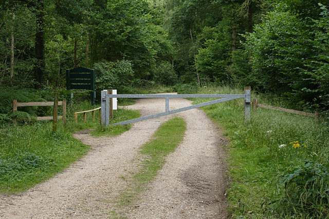
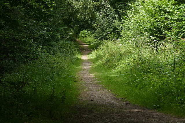
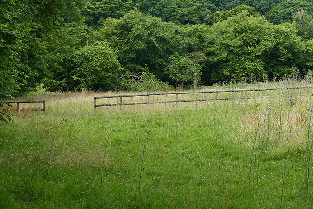
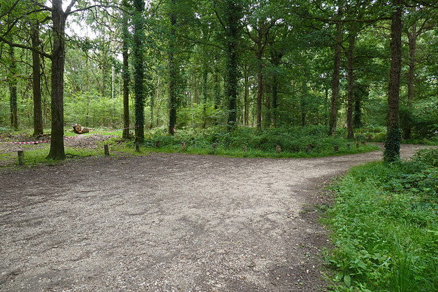
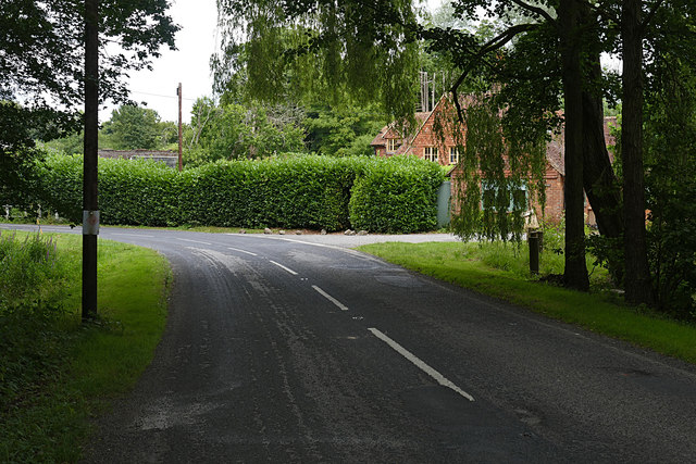
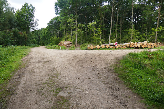
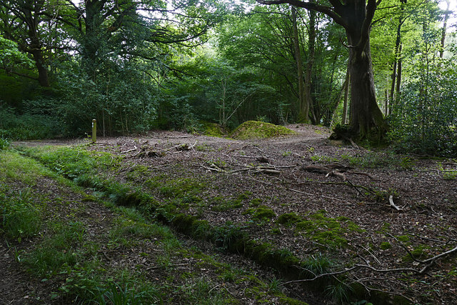
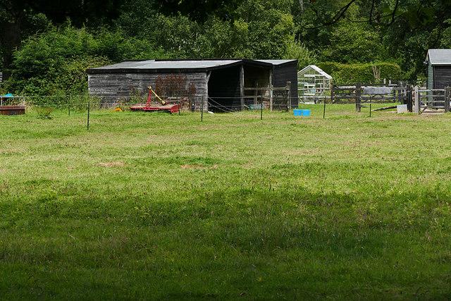
Alfold Images

Images are sourced within 2km of 51.095679/-0.518794 or Grid Reference TQ0333. Thanks to Geograph Open Source API. All images are credited.

Barberry Bridge, River Lox Public footpath 622_1 crosses an interesting brick bridge. Its muddy state suggests the river often floods. This is looking upstream.
Barberry Bridge, River Lox
Public footpath 622_1 crosses an interesting brick bridge. Its muddy state suggests the river often floods. This is looking upstream.
Bungalows on Loxwood Road, Alfold Crossways
Loxwood Road, Alfold Crossways
Bridleway goes north towards Hope Rough
Diagonal view across field in Hope Rough This is in West Sussex.
Diagonal view across field in Hope Rough
This is in West Sussex.
Footpath crosses track at Clearmount This is in West Sussex.
Footpath crosses track at Clearmount
This is in West Sussex.
Clouds before sunset
Sidney Wood car park The entrance to the car park in Sidney Wood, part of the Forest Enterprise Chiddingfold Forest complex.
Sidney Wood car park
The entrance to the car park in Sidney Wood, part of the Forest Enterprise Chiddingfold Forest complex.
Wood piles, Sidney Wood A track lined with recently harvested wood in this Forest Enterprise wood near Dunsfold.
Wood piles, Sidney Wood
A track lined with recently harvested wood in this Forest Enterprise wood near Dunsfold.
Dunsfold Road The rural road running south of the airfield from the entrance to Sidney Wood.
Dunsfold Road
The rural road running south of the airfield from the entrance to Sidney Wood.
Barrier, Sidney Wood A barrier across the track into Sidney Wood with the entrance to the carpark on the left just beyond.
Barrier, Sidney Wood
A barrier across the track into Sidney Wood with the entrance to the carpark on the left just beyond.
Overgrown track, Sidney Wood A shaded track through Sidney Wood. The left hand side was clear felled in the 1990s, now it is impenetrable.
Overgrown track, Sidney Wood
A shaded track through Sidney Wood. The left hand side was clear felled in the 1990s, now it is impenetrable.
Old paddock, Sidney Wood One of the paddocks off Sachell Hill, a public right of way near Sidney Wood.
Old paddock, Sidney Wood
One of the paddocks off Sachell Hill, a public right of way near Sidney Wood.
Sidney Wood car park The car park in the Forest Enterprise Sidney Wood.
Sidney Wood car park
The car park in the Forest Enterprise Sidney Wood.
Dunsfold Road Looking north towards Tickners Heath Farm.
Dunsfold Road
Looking north towards Tickners Heath Farm.
Forest Tracks, Sidney Wood The junction of two of the main forest tracks through Sidney Wood.
Forest Tracks, Sidney Wood
The junction of two of the main forest tracks through Sidney Wood.
Sachellhill Lane The junction of Sachelhill Lane, a footpath running along the east side of Sidney Wood, with the footpath off to the right towards Alfold.
Sachellhill Lane
The junction of Sachelhill Lane, a footpath running along the east side of Sidney Wood, with the footpath off to the right towards Alfold.
Paddocks, Sedgehurst The Paddocks of Sedgehurst, a property enclosed within the Forest Enterprise Sidney Wood.
Paddocks, Sedgehurst
The Paddocks of Sedgehurst, a property enclosed within the Forest Enterprise Sidney Wood.
Show me another place!

Alfold is located at Grid Ref: TQ0333 (Lat: 51.095679, Lng: -0.518794)

Administrative County: Surrey

District: Waverley

Police Authority: Surrey

What 3 Words

///moth.discussed.torch. Near Rudgwick, West Sussex

Nearby Locations

Alfold Bars Alfold

Related Wikis

Alfold

Alfold is a village and civil parish in Surrey, England on the West Sussex border. Alfold is a dispersed or polyfocal village in the Green Belt, which...

Alfold F.C.

Alfold Football Club is a football club based in Alfold, Surrey, England. They are currently members of the Southern Combination Division One and play...

Fir Tree Copse

Fir Tree Copse is a 6-hectare (15-acre) nature reserve south-east of Dunsfold in Surrey. It is managed by the Surrey Wildlife Trust and is part of the...

Rikkyo School in England

Rikkyo School in England (立教英国学院, Rikkyō Eikoku Gakuin) is a Japanese boarding primary and secondary school in Rudgwick, Horsham District, West Sussex...

Wey and Arun Canal

The Wey and Arun Canal is a partially open, 23-mile-long (37 km) canal in the southeast of England. It runs southwards from the River Wey at Gunsmouth...

London to Portsmouth canal

The London to Portsmouth canal was a concept for the construction of a secure inland canal route from the British capital of London to the headquarters...

Dunsfold Aerodrome

Dunsfold Aerodrome (former ICAO code EGTD) is an unlicensed airfield in Surrey, England, near the village of Cranleigh. It extends across land in the villages...

Loxwood

Loxwood is a small village and civil parish with several outlying settlements, in the Chichester district of West Sussex, England, within the Low Weald...

Nearby Amenities

Located within 500m of 51.095679,-0.518794
Alfold
Place: village
Source: npe
Lat/Long: 51.0961567/-0.518165
Bus Stop
The Crown
Naptan AtcoCode: 40004411038A
Naptan Bearing: NE
Naptan BusStopType: CUS
Naptan CommonName: The Crown
Naptan Indicator: adj
Naptan Landmark: The Crown
Naptan NaptanCode: surdtgtd
Naptan Street: Loxwood Road
Naptan Verified: no
Public Transport: platform
Source: naptan_import
Lat/Long: 51.0959097/-0.5185341
Bus Stop
The Crown
Naptan AtcoCode: 40004411038B
Naptan Bearing: SW
Naptan CommonName: The Crown
Naptan Indicator: Opp
Naptan Landmark: The Crown
Naptan NaptanCode: surdtgtg
Naptan Street: Loxwood Road
Naptan Verified: no
Public Transport: platform
Source: naptan_import
Lat/Long: 51.0958192/-0.5184225
Post Office
Alfold Post Office
Addr Country: GB
Addr Postcode: GU6 8ER
Brand: Post Office
Brand Wikidata: Q1783168
Contact Website: https://www.postoffice.co.uk/branch-finder/0549231/alfold
Ref Pol Id: 158
Lat/Long: 51.0961716/-0.5174334
Barrier: stile
Foot: yes
Lat/Long: 51.0970407/-0.5225667
Barrier: stile
Foot: yes
Lat/Long: 51.0977852/-0.5203877
Barrier: stile
Lat/Long: 51.0959323/-0.5144731
Barrier: stile
Lat/Long: 51.0981623/-0.5238542
Barrier: stile
Lat/Long: 51.0961309/-0.5149492
Barrier: stile
Lat/Long: 51.0975058/-0.5231675
Barrier: bollard
Lat/Long: 51.0957608/-0.5195168
Post Box
Collection Times: Mo-Fr 16:30; Sa 10:30
Operator: Royal Mail
Operator Wikidata: Q638098
Post Box Type: wall
Royal Cypher: VR
Royal Cypher Wikidata: Q33102356
Lat/Long: 51.0961482/-0.5173678
Booth: K6
Covered: booth
Disused Amenity: telephone
Listed Status: Grade II
Man Made: telephone_box
Lat/Long: 51.0956335/-0.5191484
Addr Housename: Dove Cottage
Lat/Long: 51.0984452/-0.5170293
Addr Housename: Afold Farm Cottage
Lat/Long: 51.0986058/-0.517
Crossing
Lat/Long: 51.0975468/-0.5194862
Barrier: stile
Foot: yes
Lat/Long: 51.0953719/-0.5211728
Addr Housename: The Crown House
Lat/Long: 51.0958902/-0.5187557
Addr Housename: Little Crown
Lat/Long: 51.0959441/-0.5185746
Addr Housename: Starr Cottages
Lat/Long: 51.0959808/-0.5183208
Addr Housename: Hurst Cottage
Addr Housenumber: 1
Lat/Long: 51.0960607/-0.5179869
Addr Housenumber: 4
Lat/Long: 51.096016/-0.5181725
Addr Housename: Rosemary Croft
Lat/Long: 51.0958672/-0.5189489
Addr Housenumber: 1
Lat/Long: 51.0961284/-0.5177007
Addr Housenumber: 2
Lat/Long: 51.0961086/-0.517781
Addr Housename: Wayside
Lat/Long: 51.0960946/-0.5178451
Addr Housename: Southview
Lat/Long: 51.0960838/-0.5179132
Addr Housename: Hazeldene
Lat/Long: 51.0961476/-0.5176245
Addr Housenumber: 1
Lat/Long: 51.0963812/-0.5170584
Addr Housenumber: 2
Lat/Long: 51.0963295/-0.5171112
Addr Housename: The Magnolias
Lat/Long: 51.0962929/-0.5175388
Addr Housenumber: 1
Lat/Long: 51.0974168/-0.5188561
Addr Housenumber: 6
Lat/Long: 51.0973732/-0.518206
Addr Housename: Linden Farm
Lat/Long: 51.096988/-0.5193019
Addr Housenumber: 12
Lat/Long: 51.0971563/-0.5160056
Addr Housenumber: 9
Lat/Long: 51.0973308/-0.5161633
Addr Housenumber: 1
Lat/Long: 51.0971373/-0.5163687
Addr Housenumber: 13
Lat/Long: 51.0973917/-0.5163454
Addr Housenumber: 8
Lat/Long: 51.0973448/-0.5163115
Addr Housenumber: 5
Lat/Long: 51.0972766/-0.5164119
Addr Housenumber: 18
Lat/Long: 51.0972098/-0.515534
Addr Housenumber: 15
Lat/Long: 51.0971109/-0.5158492
Addr Housenumber: 1
Lat/Long: 51.0975493/-0.5161539
Addr Housenumber: 4
Lat/Long: 51.097539/-0.5158854
Addr Housenumber: 1
Lat/Long: 51.0975559/-0.5155433
Addr Housenumber: 8
Lat/Long: 51.0975354/-0.5149386
Addr Housename: Hillside
Lat/Long: 51.0954789/-0.5188814
Addr Housename: Temperance Villa
Lat/Long: 51.0955191/-0.5188347
Addr Housename: The Cedars
Lat/Long: 51.095657/-0.5186975
Addr Housename: Chesnuts
Lat/Long: 51.0956934/-0.5185979
Addr Housename: Rosalie
Lat/Long: 51.0957495/-0.5185308
Addr Housename: Hollyhocks
Lat/Long: 51.0956985/-0.5185471
Addr Housename: Cow Shed Cottage
Lat/Long: 51.0958232/-0.5180725
Addr Housename: Cherry Tree Cottage
Lat/Long: 51.0958556/-0.517947
The data included in this document is from www.openstreetmap.org. The data is made available under ODbL.

Have you been to Alfold?

Leave your review of Alfold below (or comments, questions and feedback).