Alford

Settlement in Aberdeenshire

Scotland

Alford

Main Street, Alford, Aberdeenshire
Main Street, Alford, Aberdeenshire Credit: Gordon Brown

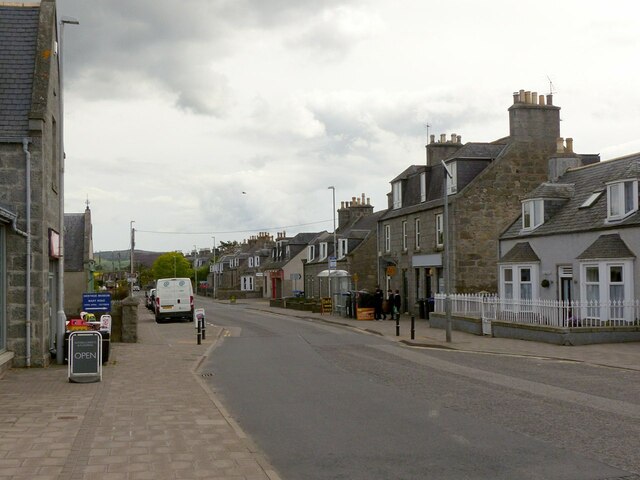
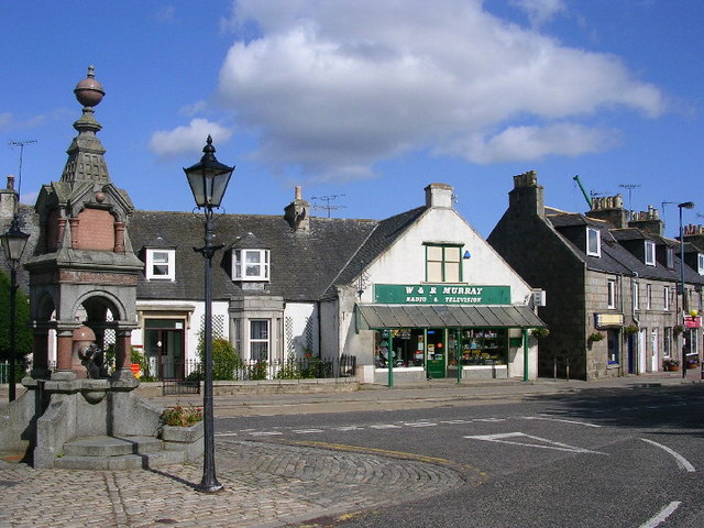
Alford is a charming village located in Aberdeenshire, Scotland. Situated on the banks of the River Don, it lies approximately 26 miles west of Aberdeen. Alford is known for its picturesque landscapes, rich history, and a strong sense of community.

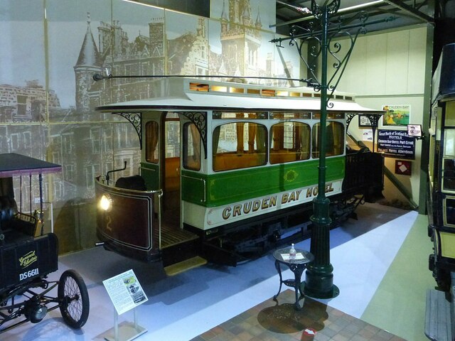
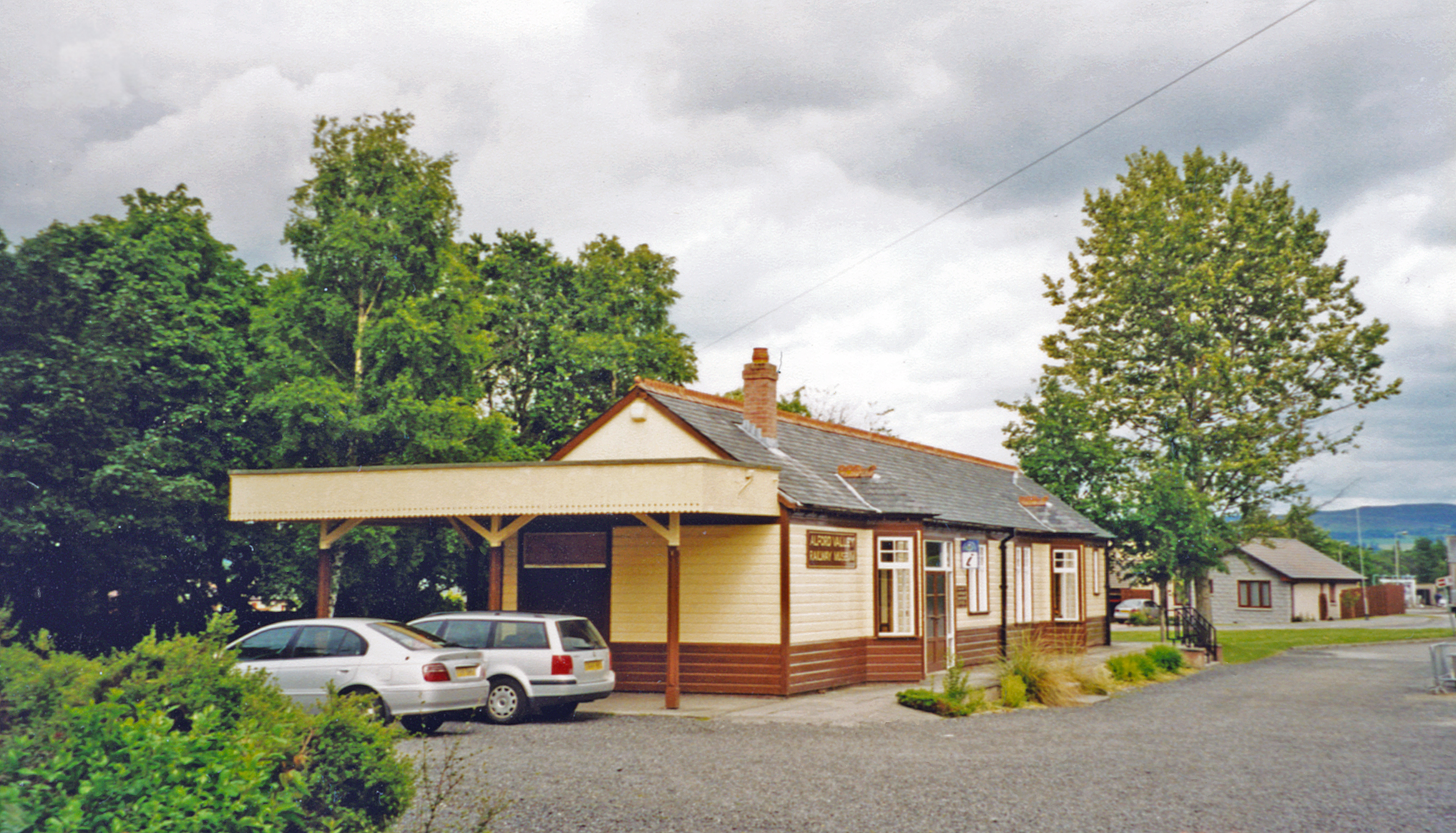
The heart of the village is dominated by the Alford Valley Railway, a heritage railway that offers visitors a delightful journey through the beautiful countryside. The railway station also houses a museum, showcasing the region's railway history. Additionally, the Grampian Transport Museum, located nearby, displays an impressive collection of vintage vehicles, providing visitors with an insight into the evolution of transport.

Alford boasts a wide range of amenities, including shops, cafes, and restaurants, offering both locals and tourists a variety of options to cater to their needs. The village is also famous for its weekly outdoor market, where visitors can find fresh local produce, crafts, and other unique items.

For those interested in history and culture, Alford is home to the Alford Valley Heritage Centre, which offers exhibitions and artifacts that delve into the area's past. The nearby Alford Manor House, a historic building dating back to the 17th century, provides a glimpse into the region's architectural heritage.

Nature enthusiasts will be delighted by the surrounding countryside, where they can explore the picturesque Alford Forest or enjoy leisurely walks along the River Don. The nearby Haughton Country Park offers stunning views, picnic spots, and a tranquil environment for all to enjoy.

Overall, Alford is a vibrant village that seamlessly blends history, natural beauty, and community spirit, making it a must-visit destination in Aberdeenshire.

If you have any feedback on the listing, please let us know in the comments section below.
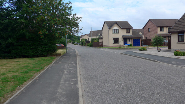
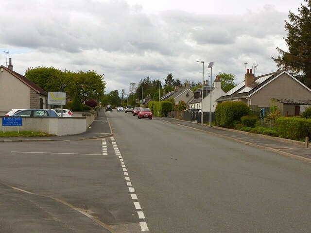
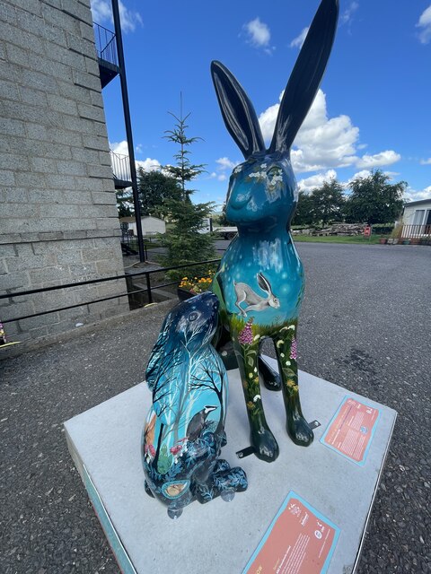
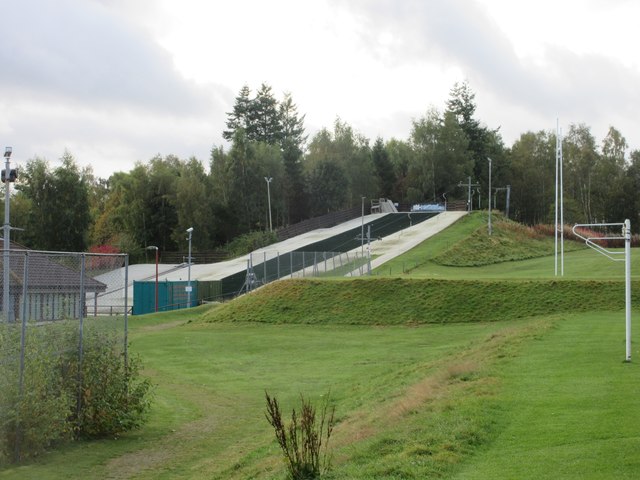
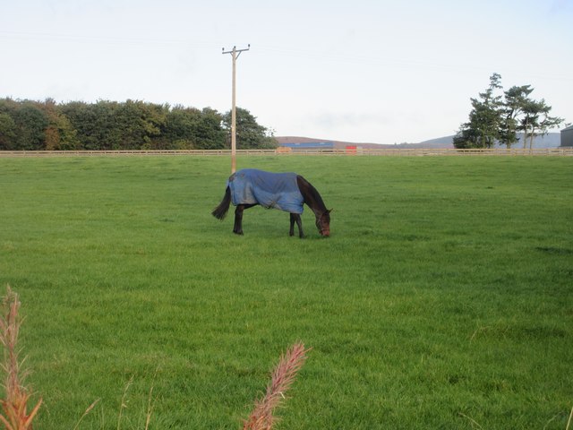
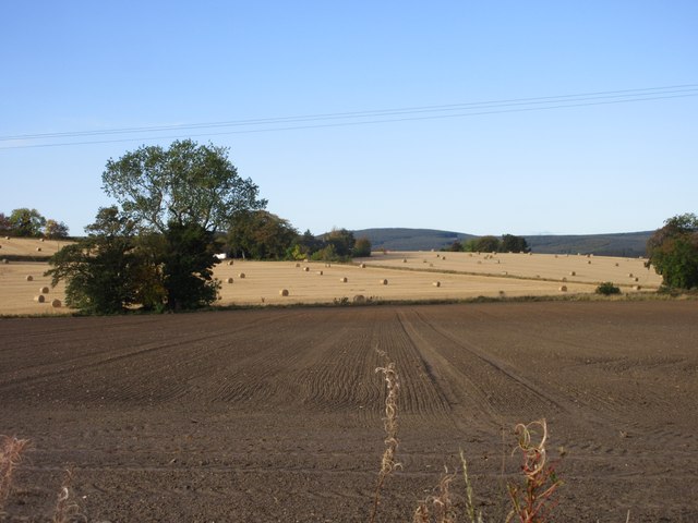
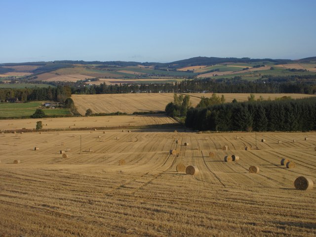
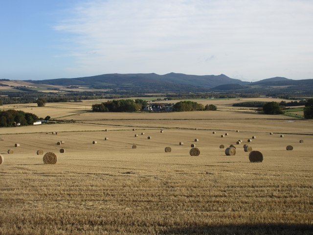
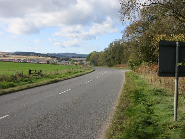
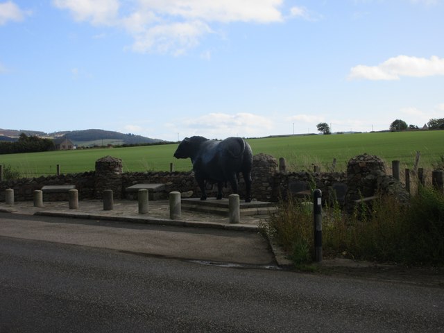
Alford Images

Images are sourced within 2km of 57.231967/-2.702059 or Grid Reference NJ5715. Thanks to Geograph Open Source API. All images are credited.

Main Street, Alford, Aberdeenshire
Stewart Road, Alford, Aberdeenshire
Watchmakers Lane, Alford The building is 55-57 Main Street, Alford which has its own Aberdeenshire Historic Environment Record listing, but with no detail other than it appears on the OS second edition map! It has a neatly corbelled corner door and (?) early 20th century wooden shop fascia.
Watchmakers Lane, Alford
The building is 55-57 Main Street, Alford which has its own Aberdeenshire Historic Environment Record listing, but with no detail other than it appears on the OS second edition map! It has a neatly corbelled corner door and (?) early 20th century wooden shop fascia.
Main Street, Alford Looking east at Watchmakers Lane.
Main Street, Alford
Looking east at Watchmakers Lane.
Cruden Bay Hotel Tramcar, Grampian Transport Museum Finely restored from its condition as a summerhouse, which it had been since it ceased service in 1941. Unusually, but perhaps unsurprisingly, it was built by the railway company itself, rather than a specialist tramcar builder. <span class="nowrap"><a title="https://www.gtm.org.uk/exhibitions/gtm-permanent-collection/cruden-bay-hotel-tramcar/" rel="nofollow ugc noopener" href="https://www.gtm.org.uk/exhibitions/gtm-permanent-collection/cruden-bay-hotel-tramcar/">Link</a><img style="margin-left:2px;" alt="External link" title="External link - shift click to open in new window" src="https://s1.geograph.org.uk/img/external.png" width="10" height="10"/></span>
Cruden Bay Hotel Tramcar, Grampian Transport Museum
Finely restored from its condition as a summerhouse, which it had been since it ceased service in 1941. Unusually, but perhaps unsurprisingly, it was built by the railway company itself, rather than a specialist tramcar builder. LinkExternal link
Cruden Bay Hotel Tramcar, Grampian Transport Museum Finely restored from its condition as a summerhouse, which it had been since it ceased service in 1941. <span class="nowrap"><a title="https://www.gtm.org.uk/exhibitions/gtm-permanent-collection/cruden-bay-hotel-tramcar/" rel="nofollow ugc noopener" href="https://www.gtm.org.uk/exhibitions/gtm-permanent-collection/cruden-bay-hotel-tramcar/">Link</a><img style="margin-left:2px;" alt="External link" title="External link - shift click to open in new window" src="https://s1.geograph.org.uk/img/external.png" width="10" height="10"/></span>
Cruden Bay Hotel Tramcar, Grampian Transport Museum
Finely restored from its condition as a summerhouse, which it had been since it ceased service in 1941. LinkExternal link
Bear on a box, Grampian Transport Museum A number of toy animals are to be found around the museum for children to discover as part of a trail.
Bear on a box, Grampian Transport Museum
A number of toy animals are to be found around the museum for children to discover as part of a trail.
Donside Road, Alford The A944 heading towards the A97 (for Huntly).
Donside Road, Alford
The A944 heading towards the A97 (for Huntly).
And I shall go into the hare (the shapeshifter)
Haughton House
Haughton House
Alford Dry Ski Slope The dry ski slope near Alford Academy.
Alford Dry Ski Slope
The dry ski slope near Alford Academy.
Grazing horse Horse grazing in a field at Greystone, west of Alford.
Grazing horse
Horse grazing in a field at Greystone, west of Alford.
Baled fields Harvested and baled field to the south-west of Alford.
Baled fields
Harvested and baled field to the south-west of Alford.
Baled field near Archballoch Looking north down a baled field between Archballoch and Brainley.
Baled field near Archballoch
Looking north down a baled field between Archballoch and Brainley.
Distant view to Kinstair Looking north-east to Kinstair in the distance across a field of bales, with Bennachie on the horizon.
Distant view to Kinstair
Looking north-east to Kinstair in the distance across a field of bales, with Bennachie on the horizon.
Field of bales Looking north-east across a field of bales from the roadside at Little Endovie, with Bennachie in the distance.
Field of bales
Looking north-east across a field of bales from the roadside at Little Endovie, with Bennachie in the distance.
A944 east of Alford The A944 heading west to Alford in the distance.
A944 east of Alford
The A944 heading west to Alford in the distance.
Aberdeen Angus Aberdeen Angus sculpture by David Annand at the eastern entrance to Alford on the A944.
Aberdeen Angus
Aberdeen Angus sculpture by David Annand at the eastern entrance to Alford on the A944.
Show me another place!

Alford is located at Grid Ref: NJ5715 (Lat: 57.231967, Lng: -2.702059)

Unitary Authority: Aberdeenshire

Police Authority: North East

What 3 Words

///pint.trains.seagulls. Near Alford, Aberdeenshire

Nearby Locations

Alford

Related Wikis

Nearby Amenities

Located within 500m of 57.231967,-2.702059
Alford
Is In: Aberdeenshire, Scotland
Name Gd: Àfard
Name Sco: Aaford
Place: town
Population: 2610
Source: survey
Wikidata: Q2638187
Wikipedia: en:Alford, Aberdeenshire
Lat/Long: 57.2318472/-2.7016251
Traffic Calming: hump
Lat/Long: 57.2327769/-2.6943604
Traffic Calming: hump
Lat/Long: 57.2322518/-2.6952872
Crossing: uncontrolled
Railway: crossing
Lat/Long: 57.2338272/-2.6975479
Mini Roundabout
Lat/Long: 57.2301867/-2.6999231
Traffic Calming: cushion
Lat/Long: 57.2319395/-2.702423
Railway: level_crossing
Lat/Long: 57.2322793/-2.6972002
Traffic Calming: hump
Lat/Long: 57.2287259/-2.7071808
Traffic Calming: hump
Lat/Long: 57.2290902/-2.7072063
Traffic Calming: hump
Lat/Long: 57.229422/-2.7068562
Traffic Calming: hump
Lat/Long: 57.2291145/-2.7059369
Turning Circle
Lat/Long: 57.235486/-2.7064609
Crossing: uncontrolled
Railway: crossing
Lat/Long: 57.2334534/-2.6974243
Police
Alford Police Station
Lat/Long: 57.2342564/-2.7064237
Crossing
Lat/Long: 57.2318615/-2.7018187
Cafe
Alford Bistro
Lat/Long: 57.2315935/-2.7010589
Post Box
Brand: Royal Mail
Brand Wikidata: Q638098
Collection Times: Mo-Fr 16:45; Sa 14:00
Operator: Royal Mail
Operator Wikidata: Q638098
Post Box Design: type_a
Post Box Type: pillar
Ref: AB33 505
Royal Cypher: scottish_crown
Source: survey
Lat/Long: 57.231586/-2.7007227
Recycling
Recycling Glass Bottles: yes
Recycling Type: container
Lat/Long: 57.2321613/-2.7005814
Bicycle Parking
Bicycle Parking: stands
Capacity: 10
Covered: yes
Lat/Long: 57.2324792/-2.700665
Post Box
Brand: Royal Mail
Brand Wikidata: Q638098
Collection Times: Mo-Sa 12:00
Operator: Royal Mail
Operator Wikidata: Q638098
Post Box Type: lamp
Ref: AB33 253
Royal Cypher: scottish_crown
Lat/Long: 57.2347893/-2.703479
Haughton Arms Hotel
Tourism: hotel
Website: https://www.haughtonarmshotel.co.uk/
Lat/Long: 57.232157/-2.7029121
Entrance: main
Lat/Long: 57.2332979/-2.7017309
Crossing
Crossing: uncontrolled
Crossing Island: no
Crossing Ref: zebra
Tactile Paving: yes
Lat/Long: 57.2333116/-2.7041967
Crossing: uncontrolled
Railway: crossing
Lat/Long: 57.2336853/-2.6975162
Crossing: uncontrolled
Railway: crossing
Lat/Long: 57.2341809/-2.6968504
Defibrillator
Defibrillator Access: code
Defibrillator Location: Outside, By Main Entrance
Emergency: defibrillator
Indoor: no
Ref GB The Circuit: 8BEC0D67-8898-4DB1-9269-F5A1BE75246E
Lat/Long: 57.2305369/-2.6949282
Crossing
Crossing: unmarked
Crossing Island: no
Tactile Paving: yes
Lat/Long: 57.2296162/-2.6954999
Noexit: yes
Lat/Long: 57.2292994/-2.6981383
Bus Stop
Victoria Road
Bus: yes
Naptan AtcoCode: 630045511
Naptan Bearing: NE
Naptan CommonName: Victoria Road
Naptan Indicator: opp
Naptan Landmark: Victoria Road
Naptan NaptanCode: 23628976
Naptan Street: Balfour Road
Naptan Verified: no
Public Transport: platform
Ref: 23628976
Lat/Long: 57.2340201/-2.7074292
Post Box
Brand: Royal Mail
Brand Wikidata: Q638098
Collection Times: Mo-Sa 12:00
Operator: Royal Mail
Operator Wikidata: Q638098
Post Box Type: lamp
Ref: AB33 538
Royal Cypher: scottish_crown
Lat/Long: 57.233976/-2.7075649
Post Box
Brand: Royal Mail
Brand Wikidata: Q638098
Collection Times: Mo-Fr 16:30; Sa 14:00
Operator: Royal Mail
Operator Wikidata: Q638098
Post Box Design: type_m
Post Box Type: lamp
Ref: AB33 630
Royal Cypher: scottish_crown
Source: survey
Lat/Long: 57.2298541/-2.7001443
Atm
Opening Hours: 24/7
Operator: cashzone
Lat/Long: 57.2300405/-2.6998927
Fast Food
Great Wall
Addr City: Alford
Addr Housenumber: 72
Addr Postcode: AB33 8AA
Addr Street: Main Street
Cuisine: chinese
Takeaway: yes
Lat/Long: 57.2312511/-2.6990841
Crossing
Lat/Long: 57.2320641/-2.7097286
Cafe
Lat/Long: 57.2333612/-2.7040026
Fountain
Lat/Long: 57.2320024/-2.7022706
Noexit: yes
Lat/Long: 57.2353601/-2.7061706
Noexit: yes
Lat/Long: 57.2354029/-2.7064468
Noexit: yes
Lat/Long: 57.2300102/-2.6956456
Generator Method: photovoltaic
Generator Output Electricity: yes
Generator Source: solar
Generator Type: solar_photovoltaic_panel
Power: generator
Lat/Long: 57.2328848/-2.7099742
Generator Method: photovoltaic
Generator Output Electricity: yes
Generator Source: solar
Generator Type: solar_photovoltaic_panel
Power: generator
Lat/Long: 57.2328868/-2.709845
Generator Method: photovoltaic
Generator Output Electricity: yes
Generator Source: solar
Generator Type: solar_photovoltaic_panel
Power: generator
Lat/Long: 57.232675/-2.7100001
Generator Method: photovoltaic
Generator Output Electricity: yes
Generator Source: solar
Generator Type: solar_photovoltaic_panel
Power: generator
Lat/Long: 57.232671/-2.7098672
Generator Method: photovoltaic
Generator Output Electricity: yes
Generator Source: solar
Generator Type: solar_photovoltaic_panel
Power: generator
Lat/Long: 57.232663/-2.7096531
Generator Method: photovoltaic
Generator Output Electricity: yes
Generator Source: solar
Generator Type: solar_photovoltaic_panel
Power: generator
Lat/Long: 57.232653/-2.7095165
Generator Method: photovoltaic
Generator Output Electricity: yes
Generator Source: solar
Generator Type: solar_photovoltaic_panel
Power: generator
Lat/Long: 57.2328708/-2.709642
Generator Method: photovoltaic
Generator Output Electricity: yes
Generator Source: solar
Generator Type: solar_photovoltaic_panel
Power: generator
Lat/Long: 57.2328748/-2.7095387
Generator Method: photovoltaic
Generator Output Electricity: yes
Generator Source: solar
Generator Type: solar_photovoltaic_panel
Power: generator
Lat/Long: 57.2329067/-2.7092913
Generator Method: photovoltaic
Generator Output Electricity: yes
Generator Source: solar
Generator Type: solar_photovoltaic_panel
Power: generator
Lat/Long: 57.2329247/-2.7091621
Generator Method: photovoltaic
Generator Output Electricity: yes
Generator Source: solar
Generator Type: solar_photovoltaic_panel
Power: generator
Lat/Long: 57.2338289/-2.706395
Crossing
Crossing: unmarked
Crossing Island: yes
Traffic Calming: island
Lat/Long: 57.2297578/-2.6971908
Everlong Art Studio & Gift Shop
Addr City: Alford
Addr Housename: Everlong Art Studio & Gift Shop
Addr Housenumber: 29
Addr Postcode: AB33 8PX
Addr Street: Main Street
Opening Hours: Tu-Sa 10:00-17:00
Opening Hours Covid19: closed
Shop: gift
Website: https://everlongart.co.uk/
Lat/Long: 57.2319735/-2.701732
Noexit: yes
Lat/Long: 57.2353151/-2.7066748
Crossing
Crossing: unmarked
Crossing Island: yes
Traffic Calming: island
Lat/Long: 57.2295053/-2.6951127
Bus Stop
Castle Road
Bench: no
Bin: no
Bus: yes
Lit: yes
Naptan AtcoCode: 630032291
Naptan Bearing: W
Naptan CommonName: Castle Road
Naptan Indicator: after
Naptan Landmark: Castle Road
Naptan NaptanCode: 23623727
Naptan Street: Main Street
Naptan Verified: no
Public Transport: platform
Ref: 23623727
Shelter: no
Tactile Paving: no
Lat/Long: 57.2307626/-2.6945184
Bus Stop
David McLean Drive
Bench: no
Bin: no
Bus: yes
Lit: yes
Naptan AtcoCode: 630032062
Naptan Bearing: SE
Naptan CommonName: David McLean Drive
Naptan Indicator: opp and after
Naptan Landmark: David McLean Drive
Naptan NaptanCode: 23623652
Naptan Street: Donside Road
Naptan Verified: no
Public Transport: platform
Ref: 23623652
Shelter: no
Tactile Paving: no
Lat/Long: 57.2350188/-2.7068276
Bus Stop
Bank Brae
Bench: no
Bin: no
Bus: yes
Lit: yes
Naptan AtcoCode: 630032052
Naptan Bearing: NW
Naptan CommonName: Bank Brae
Naptan Indicator: at
Naptan Landmark: Bank Brae
Naptan NaptanCode: 23623682
Naptan Street: Main Street
Naptan Verified: no
Public Transport: platform
Ref: 23623682
Shelter: no
Tactile Paving: no
Lat/Long: 57.2326639/-2.703267
Bus Stop
Bank Brae
Bench: yes
Bin: no
Bus: yes
Check Date Shelter: 2023-07-09
Lit: yes
Naptan AtcoCode: 630032051
Naptan Bearing: SE
Naptan CommonName: Bank Brae
Naptan Indicator: opp
Naptan Landmark: Bank Brae
Naptan NaptanCode: 23623678
Naptan Street: Main Street
Naptan Verified: no
Public Transport: platform
Ref: 23623678
Shelter: yes
Tactile Paving: no
Lat/Long: 57.2329229/-2.703468
Bus Stop
Kingsford Road
Bench: no
Bin: yes
Bus: yes
Lit: yes
Naptan AtcoCode: 630032042
Naptan Bearing: W
Naptan CommonName: Kingsford Road
Naptan Indicator: before
Naptan Landmark: Kingsford Road
Naptan NaptanCode: 23628249
Naptan Street: Main Street
Naptan Verified: no
Public Transport: platform
Ref: 23628249
Shelter: yes
Tactile Paving: no
Lat/Long: 57.2314251/-2.6997758
Bus Stop
Kingsford Road
Bench: yes
Bin: yes
Bus: yes
Lit: no
Naptan AtcoCode: 630032041
Naptan Bearing: E
Naptan CommonName: Kingsford Road
Naptan Indicator: opp and after
Naptan Landmark: Kingsford Road
Naptan NaptanCode: 23623684
Naptan Street: Main Street
Naptan Verified: no
Public Transport: platform
Ref: 23623684
Shelter: yes
Tactile Paving: no
Lat/Long: 57.2317146/-2.7008338
Bus Stop
Stewart Road
Bench: no
Bin: no
Bus: yes
Lit: yes
Naptan AtcoCode: 630032031
Naptan Bearing: W
Naptan CommonName: Stewart Road
Naptan Indicator: opp
Naptan Landmark: Stewart Road
Naptan NaptanCode: 23623698
Naptan Street: Main Street
Naptan Verified: no
Passenger Information Display: yes
Public Transport: platform
Ref: 23623698
Shelter: no
Tactile Paving: no
Lat/Long: 57.231024/-2.6970794
Traffic Calming: cushion
Lat/Long: 57.2323029/-2.7052968
Traffic Calming: cushion
Lat/Long: 57.232268/-2.7063006
Traffic Calming: cushion
Lat/Long: 57.2322488/-2.7069792
Traffic Calming: cushion
Lat/Long: 57.2322201/-2.7077866
Crossing
Crossing: unmarked
Crossing Island: no
Tactile Paving: yes
Lat/Long: 57.2318515/-2.702259
Traffic Calming: cushion
Lat/Long: 57.2329336/-2.7039919
Stop
Direction: forward
Lat/Long: 57.2322223/-2.7042348
Traffic Calming: cushion
Lat/Long: 57.232366/-2.7041703
Traffic Calming: cushion
Lat/Long: 57.2322114/-2.7039932
Traffic Calming: cushion
Lat/Long: 57.2320641/-2.7031296
Alford
Historic Railway: station
Wikidata: Q4722158
Wikipedia: en:Alford railway station
Lat/Long: 57.2319761/-2.6982658
The data included in this document is from www.openstreetmap.org. The data is made available under ODbL.

Have you been to Alford?

Leave your review of Alford below (or comments, questions and feedback).