Alford
Settlement in Somerset South Somerset
England
Alford
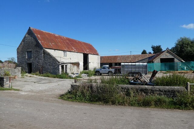
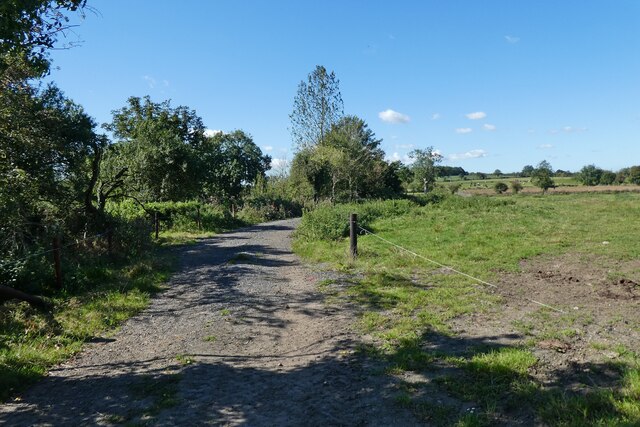
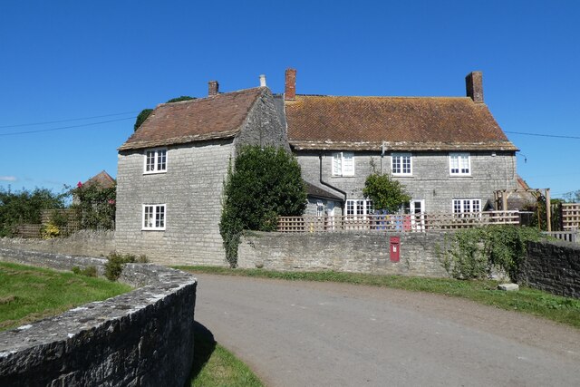
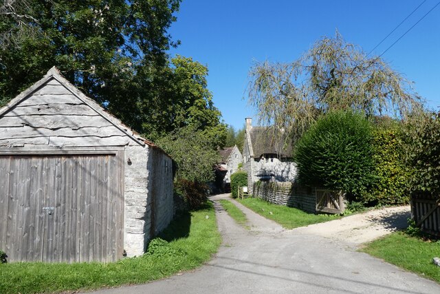
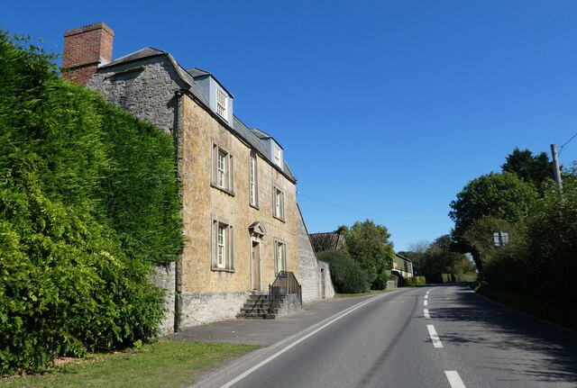
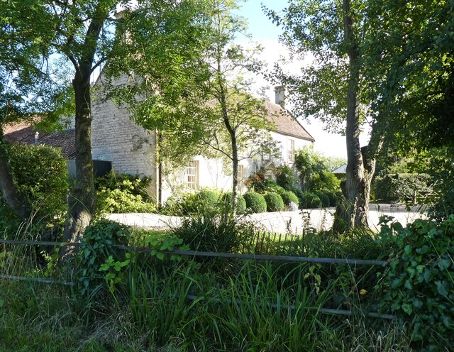
Alford is a small village located in the county of Somerset, England. Situated on the southern edge of the Mendip Hills, it is part of the local government district of South Somerset. The village is surrounded by picturesque countryside, with rolling hills, lush green fields, and meandering streams.
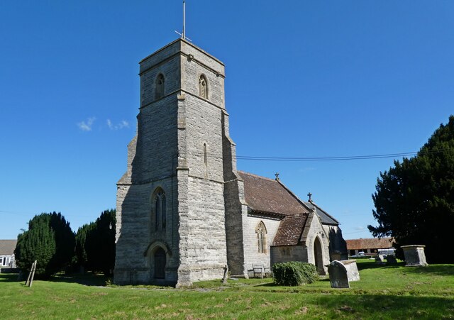
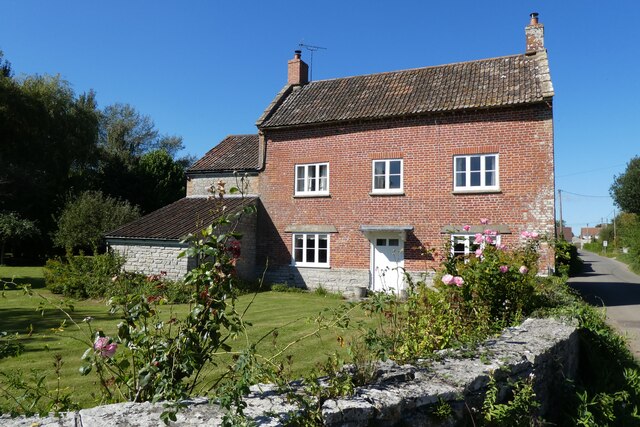
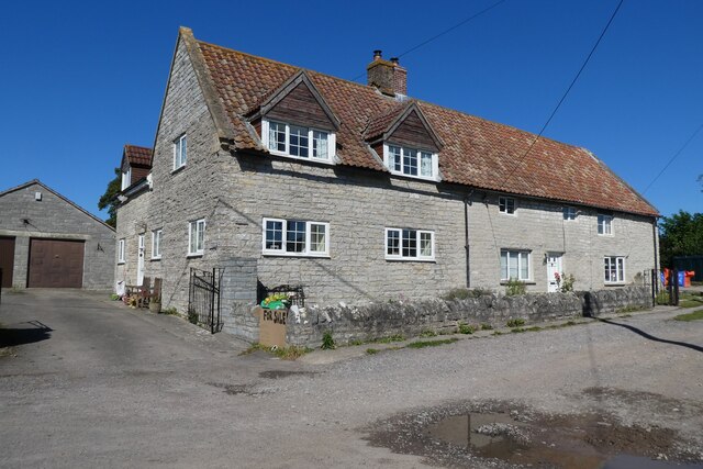
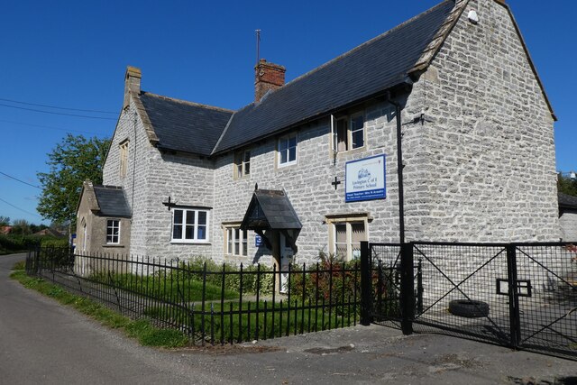
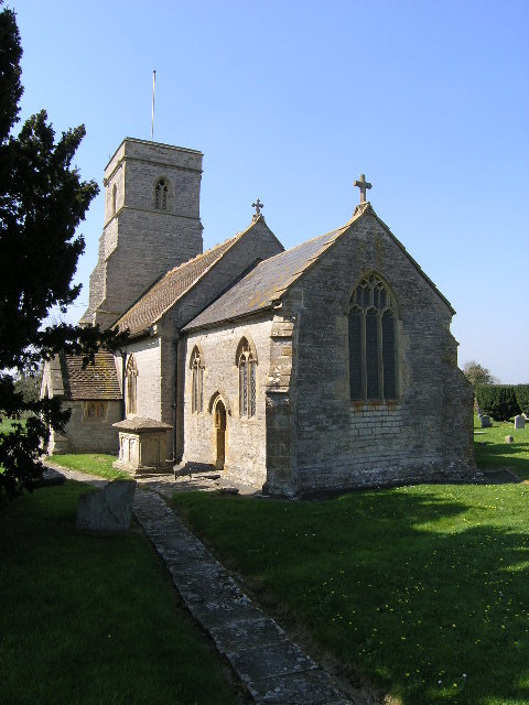
With a population of around 500 residents, Alford retains a close-knit community feel. The village is known for its charming, traditional architecture, including a mix of stone cottages and larger, period properties. The local church, St. Mary's, is a prominent feature in the village, dating back to the 15th century and showcasing stunning medieval stained glass windows.
Although small, Alford offers a range of amenities and services for its residents. These include a primary school, a village hall, and a local pub, which serves as a popular meeting place for locals. The village also benefits from a regular bus service, connecting it to nearby towns and cities.
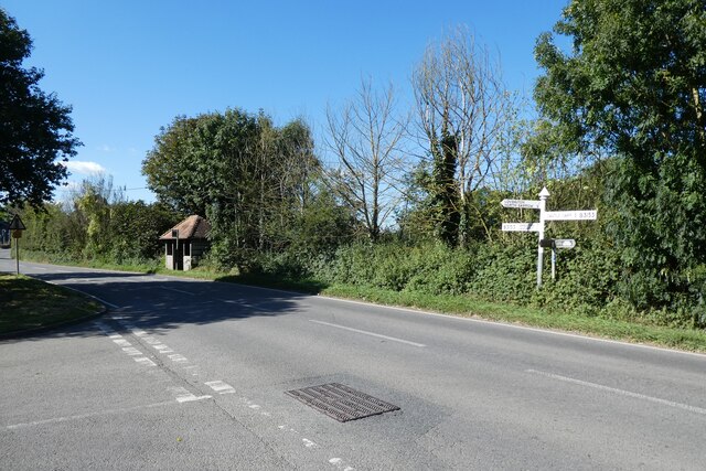
Surrounded by beautiful countryside, Alford offers ample opportunities for outdoor activities and exploration. The Mendip Hills, a designated Area of Outstanding Natural Beauty, are just a stone's throw away, providing stunning walking, cycling, and horse-riding trails. Additionally, Cheddar Gorge, famous for its dramatic cliffs and caves, is within easy reach.
Overall, Alford is a tranquil, rural village that offers a peaceful way of life, stunning natural surroundings, and a strong sense of community.
If you have any feedback on the listing, please let us know in the comments section below.
Alford Images
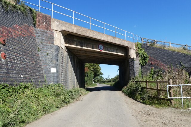
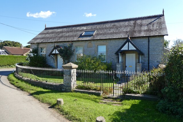
Images are sourced within 2km of 51.087841/-2.565424 or Grid Reference ST6032. Thanks to Geograph Open Source API. All images are credited.


Alford is located at Grid Ref: ST6032 (Lat: 51.087841, Lng: -2.565424)
Administrative County: Somerset
District: South Somerset
Police Authority: Avon and Somerset
What 3 Words
///guard.cabs.lyricist. Near Castle Cary, Somerset
Nearby Locations
Related Wikis

Church of All Saints, Alford
The Church of All Saints which is next to the River Brue in Alford, Somerset, England, dates from the 15th century, with minor 19th-century restoration...

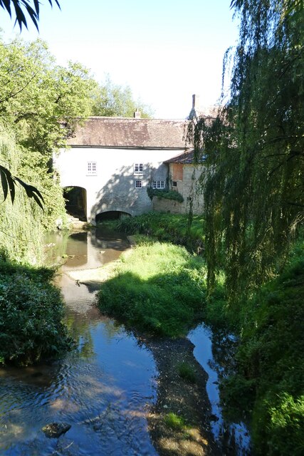
River Alham
The River Alham flows through Somerset, England. It rises at Higher Alham above Batcombe and runs through Alhampton, Milton Clevedon and joins the River...
Alford, Somerset
Alford is a village and parish on the River Alham, in Somerset, England, situated 8 miles (12.9 km) south of Shepton Mallet and two miles west of Castle...
Church of St Thomas of Canterbury, Lovington
The Church of St Thomas of Canterbury in Lovington, Somerset, England, was built in the 13th century. It is a Grade II* listed building. == History... ==
Lovington, Somerset
Lovington is a village and civil parish in Somerset, England, situated 3 miles (4.8 km) south west of Castle Cary, between the River Brue and River Cary...

North Barrow
North Barrow is a village and civil parish 8 miles (13 km) to the north-east of Ilchester in the South Somerset district of Somerset, England. == History... ==
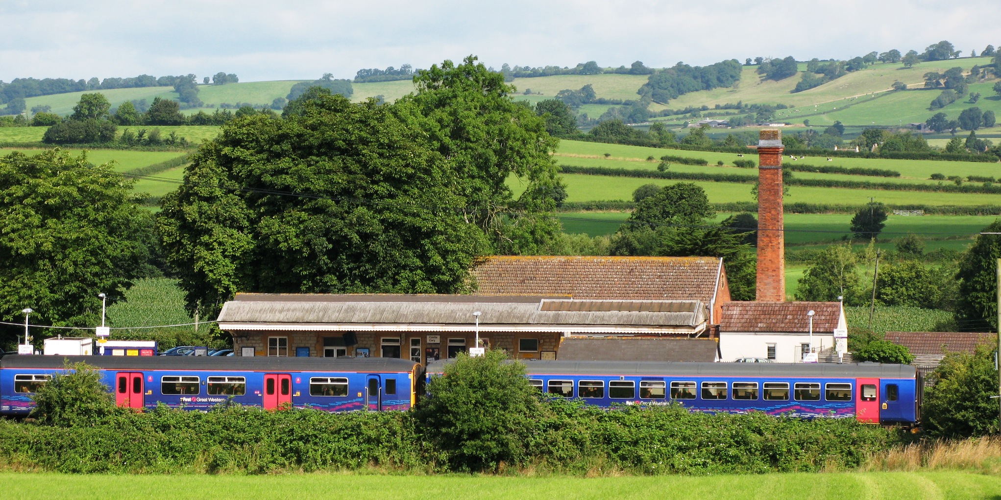
Castle Cary railway station
Castle Cary railway station is on the Reading to Taunton line 115.25 miles (185.48 km) south west of London Paddington and the Bristol to Weymouth line...

Alhampton Mission Church
Alhampton Mission Church is a Church of England church in Alhampton, Somerset, England. The tin tabernacle was erected in 1892 and now forms part of the...
Nearby Amenities
Located within 500m of 51.087841,-2.565424Have you been to Alford?
Leave your review of Alford below (or comments, questions and feedback).