Brue Coverts
Wood, Forest in Somerset South Somerset
England
Brue Coverts
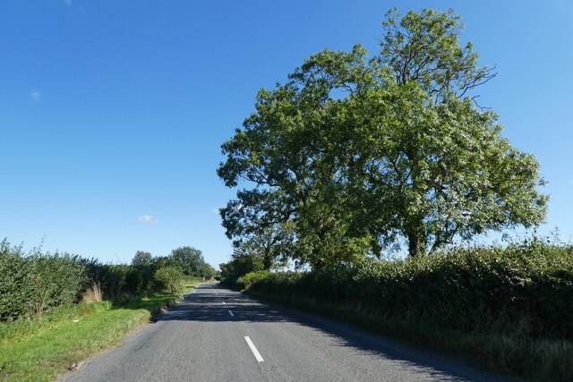
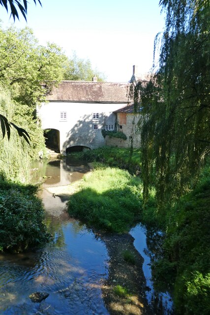
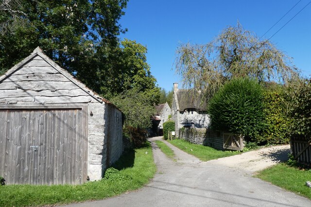
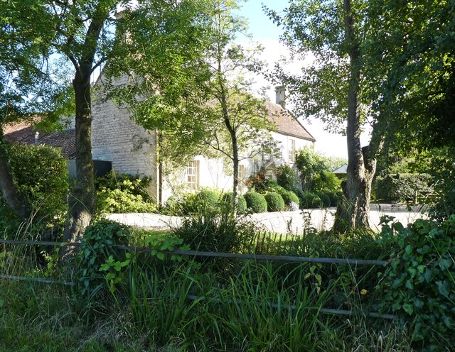
Brue Coverts, located in Somerset, England, is a picturesque woodland area that spans over a vast expanse of land. This enchanting forest is known for its dense canopy of trees, which predominantly consists of oak, beech, and ash. The diverse range of flora and fauna found within the woodland makes it a popular site for nature enthusiasts and hikers alike.
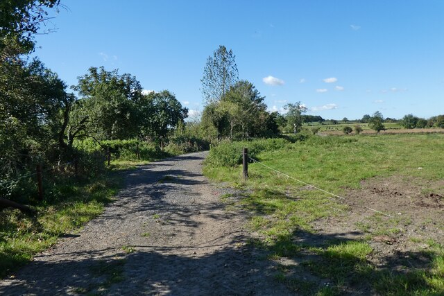
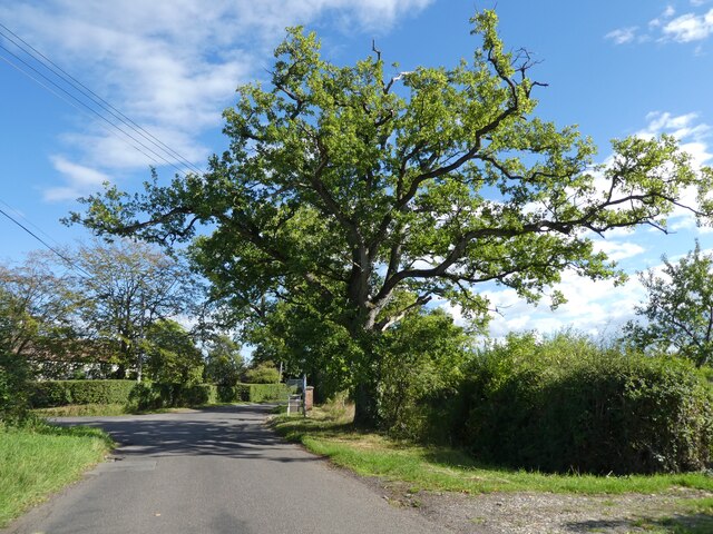
At Brue Coverts, visitors are greeted by a network of well-maintained trails that wind their way through the forest, offering breathtaking views of towering trees and tranquil streams. The forest floor is adorned with a carpet of wildflowers, adding a splash of color to the already captivating scenery.
The woodland is home to a rich variety of wildlife, with species such as deer, foxes, badgers, and numerous bird species frequently spotted by visitors. The peaceful atmosphere and abundance of natural resources make Brue Coverts an ideal habitat for these creatures.
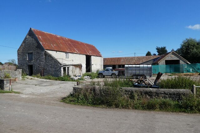
In addition to its natural beauty, Brue Coverts also holds historical significance. It was once a part of the extensive Glastonbury Abbey estate, and remnants of ancient structures can still be found scattered throughout the woodland. These remnants serve as a reminder of the area's rich heritage and provide a glimpse into the past.
Brue Coverts is a haven of tranquility and natural beauty, offering visitors a chance to immerse themselves in the wonders of the woodland. Whether it be a leisurely stroll or an adventurous hike, this enchanting forest provides an escape from the hustle and bustle of everyday life.
If you have any feedback on the listing, please let us know in the comments section below.
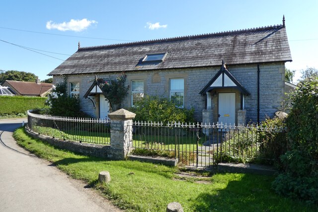
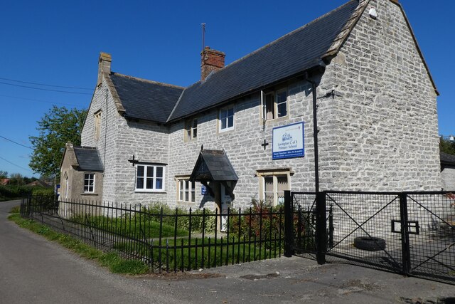
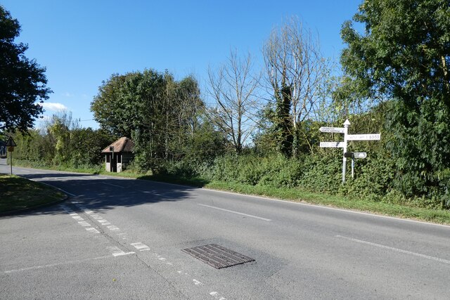
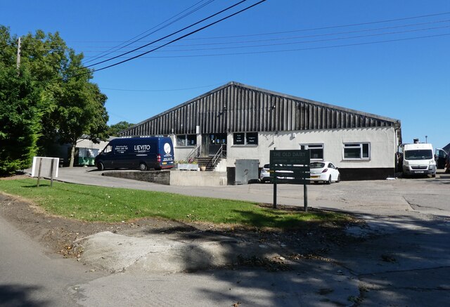
Brue Coverts Images
Images are sourced within 2km of 51.090231/-2.5719617 or Grid Reference ST6032. Thanks to Geograph Open Source API. All images are credited.

Brue Coverts is located at Grid Ref: ST6032 (Lat: 51.090231, Lng: -2.5719617)
Administrative County: Somerset
District: South Somerset
Police Authority: Avon and Somerset
What 3 Words
///hardening.spicy.scare. Near Castle Cary, Somerset
Nearby Locations
Related Wikis

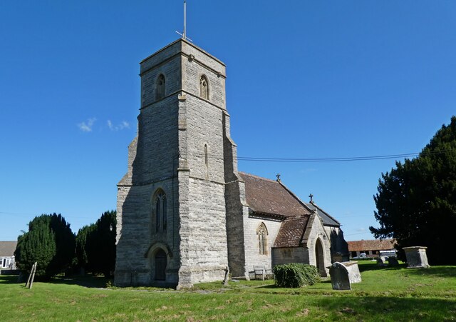
Church of All Saints, Alford
The Church of All Saints which is next to the River Brue in Alford, Somerset, England, dates from the 15th century, with minor 19th-century restoration...

River Alham
The River Alham flows through Somerset, England. It rises at Higher Alham above Batcombe and runs through Alhampton, Milton Clevedon and joins the River...
Alford, Somerset
Alford is a village and parish on the River Alham, in Somerset, England, situated 8 miles (12.9 km) south of Shepton Mallet and two miles west of Castle...
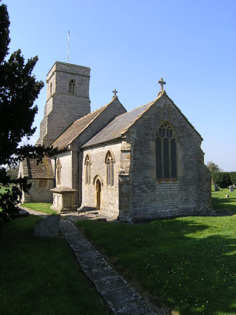
Church of St Thomas of Canterbury, Lovington
The Church of St Thomas of Canterbury in Lovington, Somerset, England, was built in the 13th century. It is a Grade II* listed building. == History... ==
Lovington, Somerset
Lovington is a village and civil parish in Somerset, England, situated 3 miles (4.8 km) south west of Castle Cary, between the River Brue and River Cary...

North Barrow
North Barrow is a village and civil parish 8 miles (13 km) to the north-east of Ilchester in the South Somerset district of Somerset, England. == History... ==

Church of the Blessed Virgin Mary, East Lydford
The Church of the Blessed Virgin Mary is a former Church of England church in East Lydford, Somerset, England. Designed by Benjamin Ferrey, it was built...
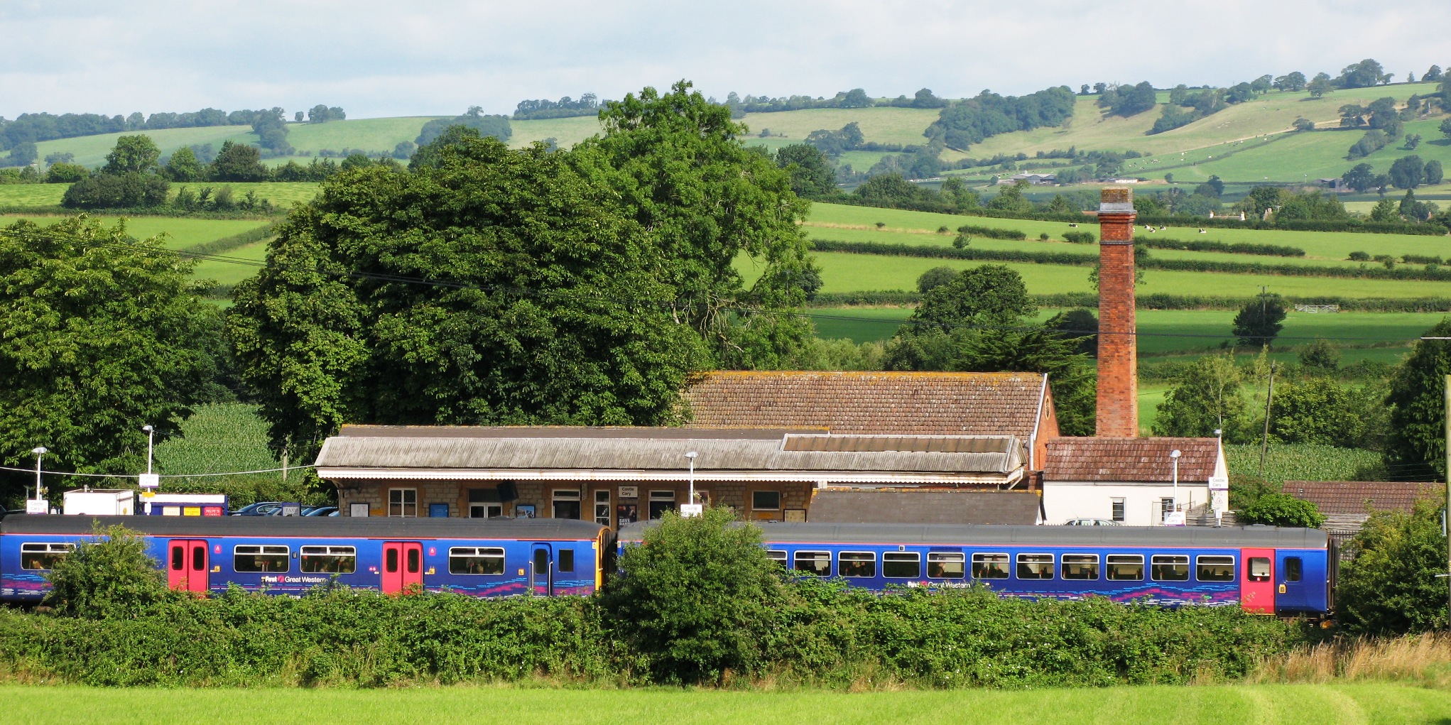
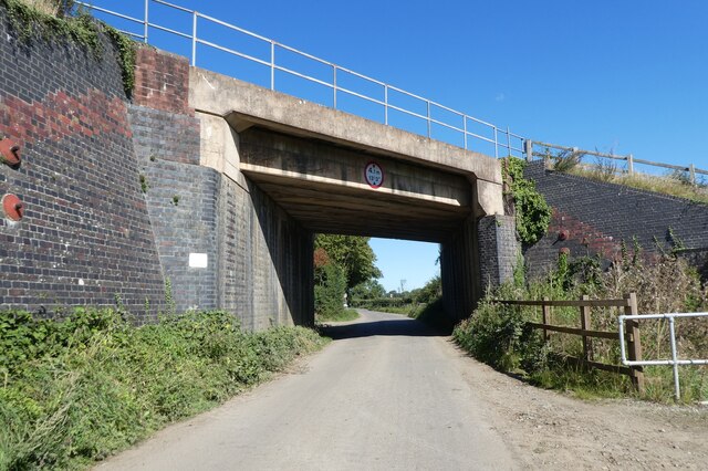
Castle Cary railway station
Castle Cary railway station is on the Reading to Taunton line 115.25 miles (185.48 km) south west of London Paddington and the Bristol to Weymouth line...
Nearby Amenities
Located within 500m of 51.090231,-2.5719617Have you been to Brue Coverts?
Leave your review of Brue Coverts below (or comments, questions and feedback).