Dobshole Wood
Wood, Forest in Westmorland South Lakeland
England
Dobshole Wood

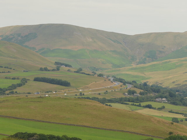
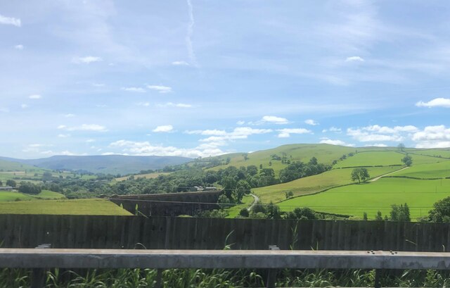
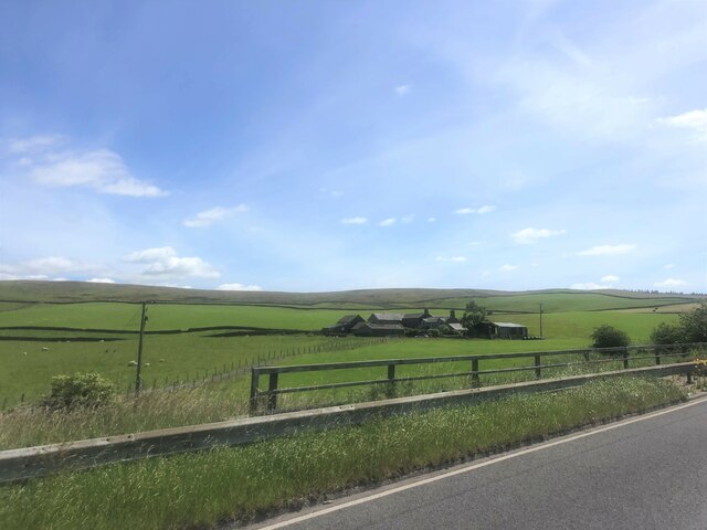
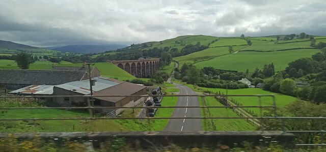
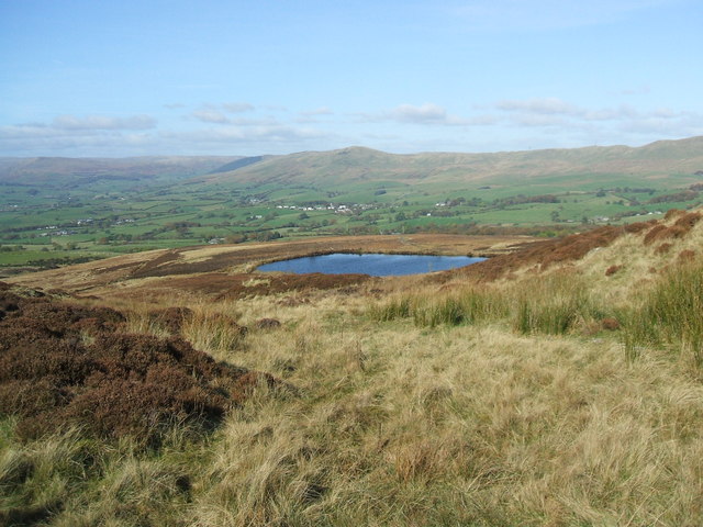
Dobshole Wood, located in Westmorland, is a picturesque forest that spans over a vast area, providing a haven for nature enthusiasts and a diverse range of wildlife. With its lush green foliage and dense canopy, it offers a tranquil retreat for visitors seeking solace amidst nature.
The wood is predominantly composed of native broadleaf species including oak, ash, beech, and birch, creating a rich tapestry of colors throughout the seasons. The forest floor is adorned with an array of wildflowers, such as bluebells and primroses, adding to the enchanting atmosphere.
Dobshole Wood is also known for its diverse wildlife population, making it a popular spot for birdwatchers and animal lovers. The forest provides a habitat for various bird species, including woodpeckers, owls, and warblers. Mammals such as deer, foxes, and squirrels can also be spotted among the trees, adding to the sense of natural harmony within the wood.
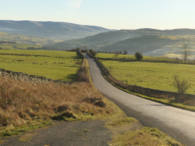
The wood is well-maintained with clearly marked trails, making it easily accessible for visitors of all ages. Whether one wishes to take a leisurely stroll or embark on a more challenging hike, Dobshole Wood offers a range of paths to suit different preferences.
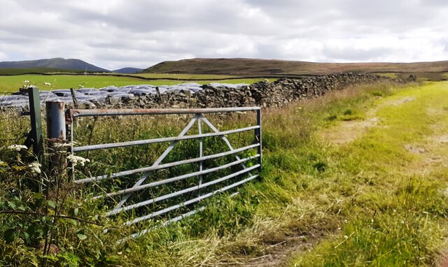
Aside from its natural beauty, Dobshole Wood also holds historical significance. It is believed to have been a hunting ground for nobles in the medieval era, and remnants of ancient structures, such as a stone wall, can still be seen within the wood, adding an intriguing element to its charm.
With its captivating scenery, diverse wildlife, and historical significance, Dobshole Wood is a must-visit destination for anyone seeking an immersive experience in the natural wonders of Westmorland.
If you have any feedback on the listing, please let us know in the comments section below.
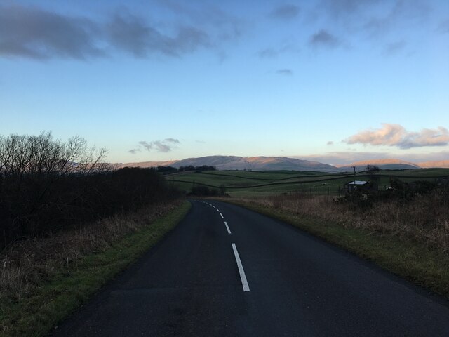
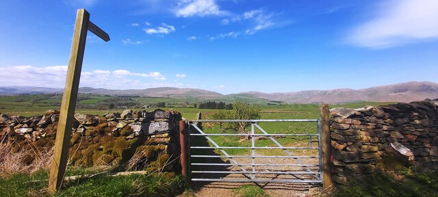
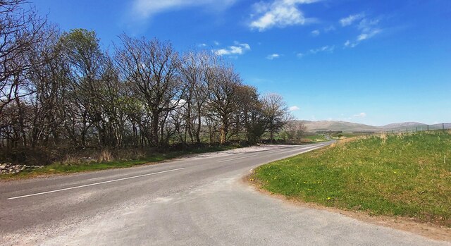
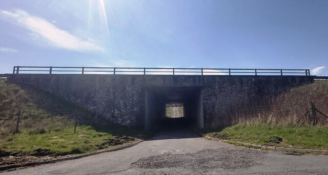
Dobshole Wood Images
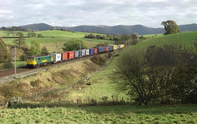
Images are sourced within 2km of 54.362445/-2.6164756 or Grid Reference SD6096. Thanks to Geograph Open Source API. All images are credited.


Dobshole Wood is located at Grid Ref: SD6096 (Lat: 54.362445, Lng: -2.6164756)
Administrative County: Cumbria
District: South Lakeland
Police Authority: Cumbria
What 3 Words
///down.along.constrain. Near Sedbergh, Cumbria
Nearby Locations
Related Wikis

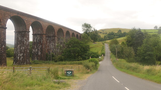
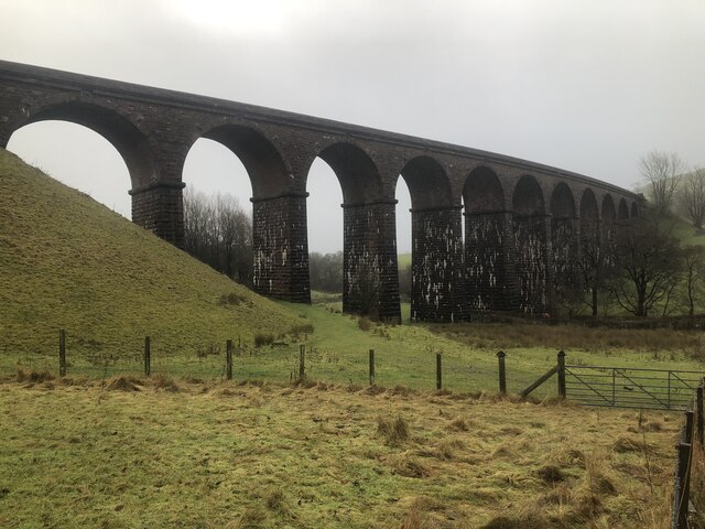
Grayrigg railway station
Grayrigg railway station in Lambrigg parish, was situated on the course of the original Lancaster and Carlisle Railway (L&CR) (the West Coast Main Line...
Lambrigg
Lambrigg is a civil parish in the South Lakeland district of the English county of Cumbria. It includes the hamlets of Cross Houses and Lambrigg Head...

Beck Foot
Beck Foot is a hamlet in Cumbria, England, situated on the B6257 road south of Lowgill, the West Coast Main Line and M6 motorway. The disused Lowgill Viaduct...
Beck Houses
Beck Houses is a hamlet in Cumbria, England. It lies south of Grayrigg in the Westmorland and Furness unitary authority area. The West Coast Main Line...
Nearby Amenities
Located within 500m of 54.362445,-2.6164756Have you been to Dobshole Wood?
Leave your review of Dobshole Wood below (or comments, questions and feedback).