Spoilbank Plantation
Wood, Forest in Westmorland South Lakeland
England
Spoilbank Plantation

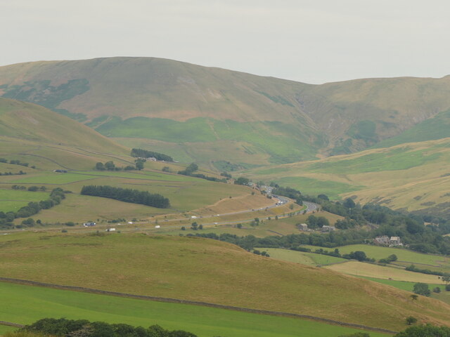
Spoilbank Plantation, located in Westmorland, is a lush woodland area known for its rich biodiversity and scenic beauty. Covering a vast expanse of land, the plantation is home to a diverse range of plant and animal species, making it an important habitat for wildlife conservation.
The woodland is primarily composed of trees such as oak, birch, and beech, which provide a dense canopy, creating a cool and shaded environment underneath. The forest floor is covered in a thick layer of leaf litter, creating a fertile ground for various understory plants and fungi to thrive.
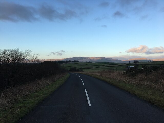
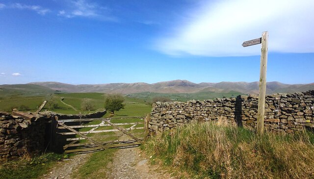
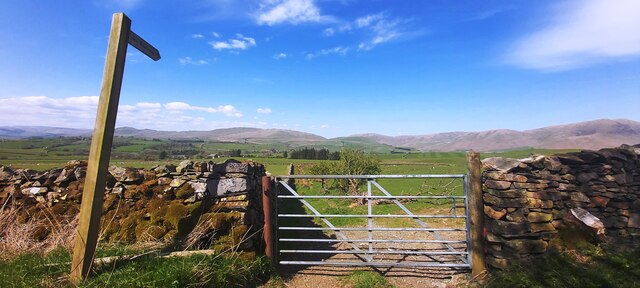
Spoilbank Plantation is a popular destination for nature enthusiasts and hikers, who can explore the numerous trails that crisscross the woodland. These paths offer stunning views of the surrounding landscape, including picturesque valleys and rolling hills.
The plantation is also known for its historical significance. It was originally established in the late 19th century as a timber plantation, providing a sustainable source of wood for various industries. Over the years, it has been managed carefully to preserve its natural beauty and ecological balance.
In recent years, efforts have been made to enhance the biodiversity of the woodland by introducing native species and removing invasive plants. This has resulted in the restoration of several rare and endangered species, making Spoilbank Plantation an important conservation site.
Overall, Spoilbank Plantation in Westmorland is a remarkable woodland area, offering a unique blend of natural beauty, recreational opportunities, and historical significance. Its diverse ecosystem and stunning landscape make it a must-visit destination for nature lovers and those seeking a peaceful retreat in the heart of nature.
If you have any feedback on the listing, please let us know in the comments section below.
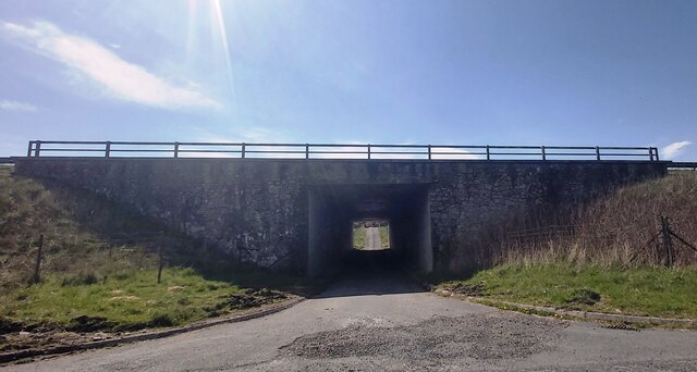
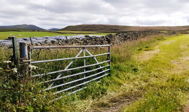
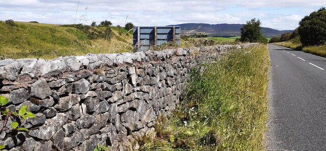
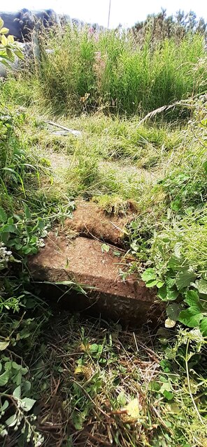
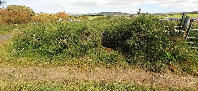
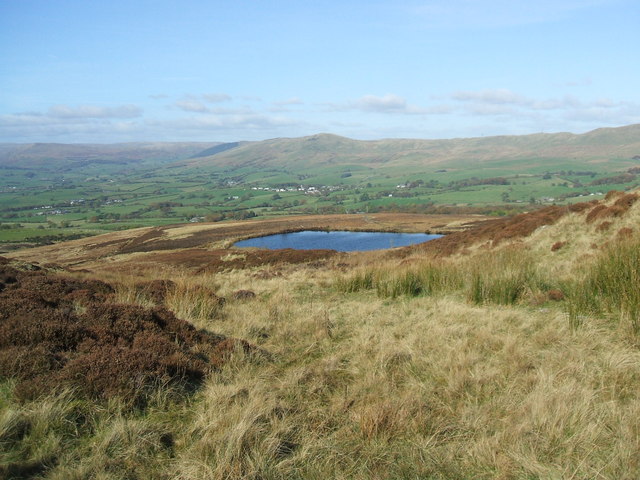
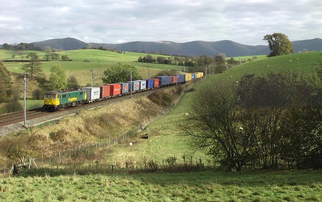
Spoilbank Plantation Images
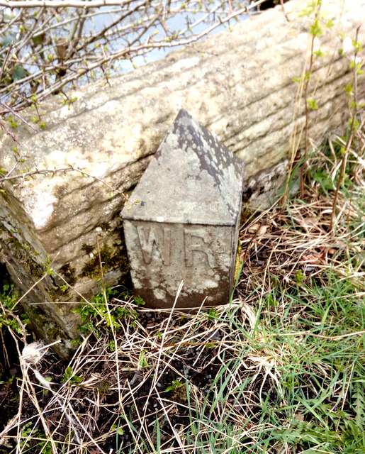
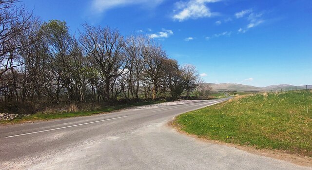
Images are sourced within 2km of 54.359793/-2.6130966 or Grid Reference SD6096. Thanks to Geograph Open Source API. All images are credited.


Spoilbank Plantation is located at Grid Ref: SD6096 (Lat: 54.359793, Lng: -2.6130966)
Administrative County: Cumbria
District: South Lakeland
Police Authority: Cumbria
What 3 Words
///beginning.latest.flats. Near Sedbergh, Cumbria
Nearby Locations
Related Wikis

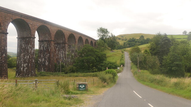
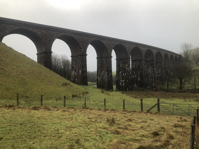
Grayrigg railway station
Grayrigg railway station in Lambrigg parish, was situated on the course of the original Lancaster and Carlisle Railway (L&CR) (the West Coast Main Line...
Lambrigg
Lambrigg is a civil parish in the South Lakeland district of the English county of Cumbria. It includes the hamlets of Cross Houses and Lambrigg Head...

Beck Foot
Beck Foot is a hamlet in Cumbria, England, situated on the B6257 road south of Lowgill, the West Coast Main Line and M6 motorway. The disused Lowgill Viaduct...
Beck Houses
Beck Houses is a hamlet in Cumbria, England. It lies south of Grayrigg in the Westmorland and Furness unitary authority area. The West Coast Main Line...
Nearby Amenities
Located within 500m of 54.359793,-2.6130966Have you been to Spoilbank Plantation?
Leave your review of Spoilbank Plantation below (or comments, questions and feedback).