Top Wood

Wood, Forest in Westmorland South Lakeland

England

Top Wood

OS Bench Mark OS cut bench mark from the 19th century levelling, on the corner of Rose Cottage. 469.3 feet above old datum. Badly eroded and almost illegible.
OS Bench Mark Credit: Phil Johnstone

Top Wood is a small woodland area located in the district of Westmorland, England. Situated on the western edge of the Lake District National Park, it is a part of the larger forest region of the area. The wood is known for its natural beauty and diverse range of flora and fauna.

Covering an area of approximately 100 acres, Top Wood is predominantly composed of deciduous trees, including oak, beech, and ash. These trees provide a lush canopy that creates a serene and peaceful atmosphere. The forest floor is adorned with a variety of wildflowers, such as bluebells and wood anemones, adding bursts of color to the landscape.

The wood is home to a wide range of wildlife species. Birdwatchers will be delighted to spot a variety of birds, including woodpeckers, owls, and various songbirds. Mammals such as red deer, badgers, and foxes also call Top Wood their home. Additionally, the area is rich in insect life, with butterflies and dragonflies flitting among the trees.

The wood offers a multitude of walking trails, allowing visitors to explore its enchanting beauty. These paths wind through the trees, providing glimpses of stunning vistas and hidden clearings. It is a popular spot for nature enthusiasts, photographers, and those seeking a tranquil escape from the hustle and bustle of daily life.

Overall, Top Wood in Westmorland is a picturesque forest that offers a rich and diverse natural experience, making it an ideal destination for nature lovers and adventurers alike.

If you have any feedback on the listing, please let us know in the comments section below.
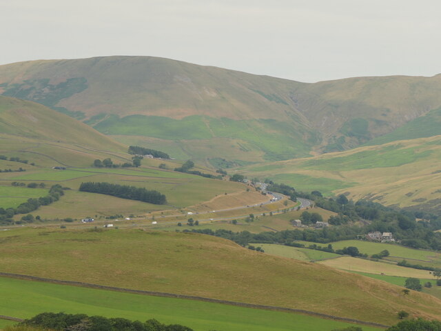
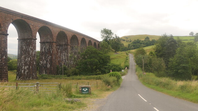
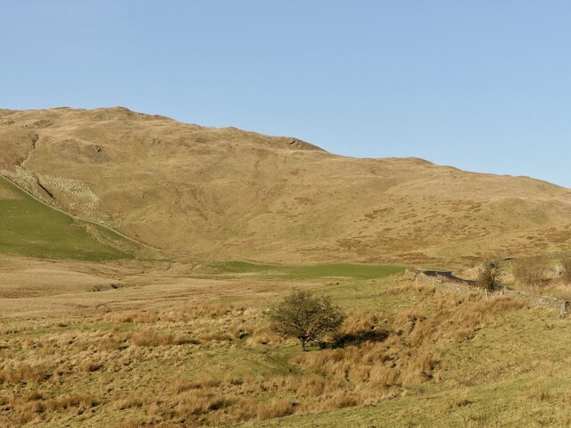
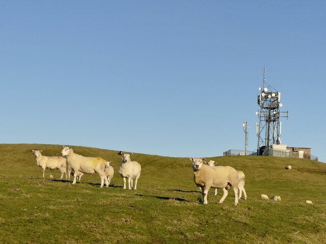
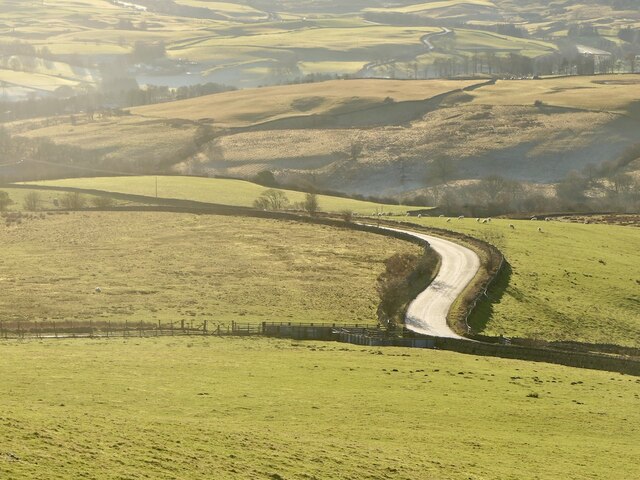
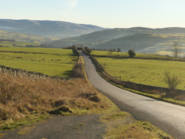
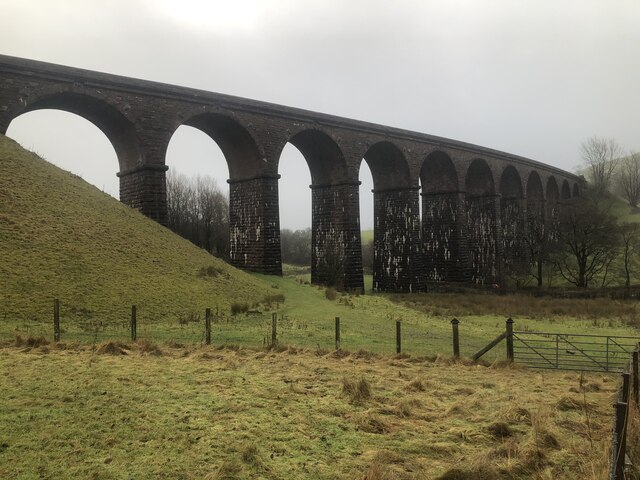
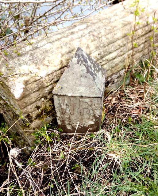
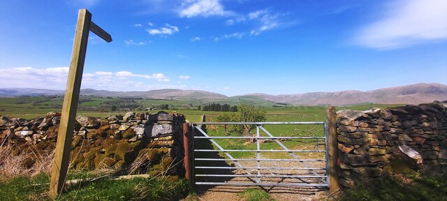
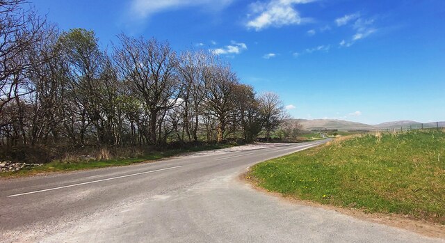
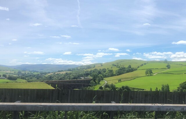
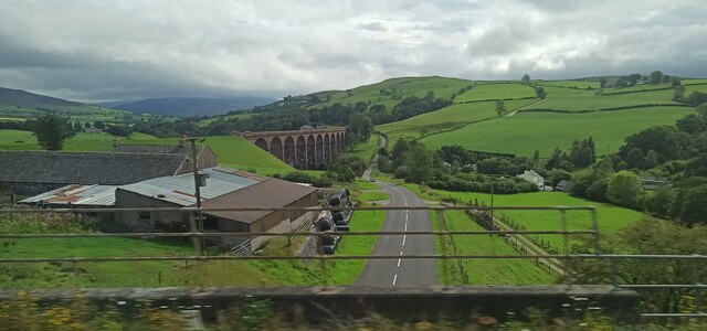
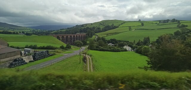
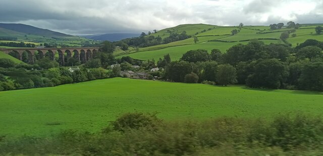
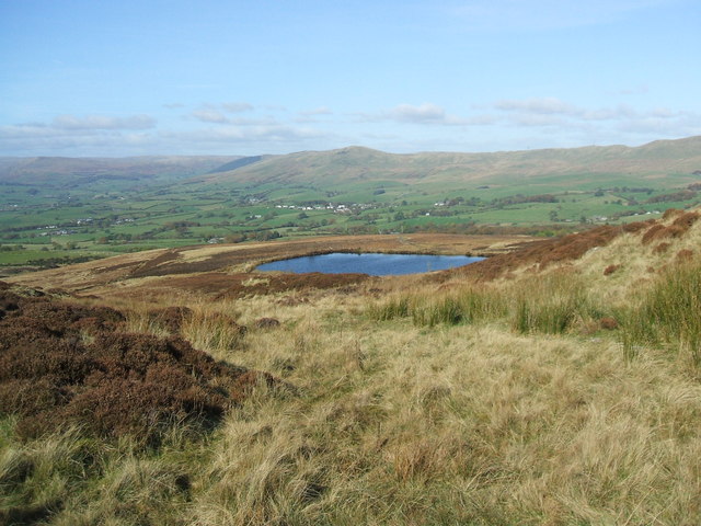
Top Wood Images

Images are sourced within 2km of 54.366884/-2.609493 or Grid Reference SD6096. Thanks to Geograph Open Source API. All images are credited.

OS Bench Mark OS cut bench mark from the 19th century levelling, on the corner of Rose Cottage. 469.3 feet above old datum. Badly eroded and almost illegible.
OS Bench Mark
OS cut bench mark from the 19th century levelling, on the corner of Rose Cottage. 469.3 feet above old datum. Badly eroded and almost illegible.
M6, Lunedale
M6, Lunedale
Lowgill Viaduct On the Ingleton Branch between Tebay and Clapham. The line closed gradually with various services being withdrawn over the 1950s and 1960s with the tracks finally lifted in 1967.
Lowgill Viaduct
On the Ingleton Branch between Tebay and Clapham. The line closed gradually with various services being withdrawn over the 1950s and 1960s with the tracks finally lifted in 1967.
B6257 Passing Lowgill Viaduct.
B6257
Passing Lowgill Viaduct.
Bridge  - M6 northbound
Bridge - M6 northbound
 M6 northbound
M6 northbound
Beside the B6257 A very quiet road in Westmorland. View towards Greyrigg Pike.
Beside the B6257
A very quiet road in Westmorland. View towards Greyrigg Pike.
Sheep, Diliicar Knott
B6257 A very quiet road in Westmorland.
B6257
A very quiet road in Westmorland.
B6257 A very quiet road in Westmorland.
B6257
A very quiet road in Westmorland.
Lowgill Viaduct Lowgill Viaduct, Ingleton branch. The Ingleton branch left the Skipton - Lancaster line at Clapham Junction and ran through Ingleton, Kirkby Lonsdale & Sedburgh, joining what is now the WCML at Lowgill, south of Tebay. Had the Midland and the LNWR reached agreement before parliament forced the Midland to build the S&C, this would have been the Midland’s main line to Scotland. As it was, the Midland was ordered to follow through with its plans for the S&C, and the Ingleton branch operated for around a century as a country backwater and sometime diversionary route. Opened 1861, closed to passengers 1954 and closed outright 1967.
Lowgill Viaduct
Lowgill Viaduct, Ingleton branch. The Ingleton branch left the Skipton - Lancaster line at Clapham Junction and ran through Ingleton, Kirkby Lonsdale & Sedburgh, joining what is now the WCML at Lowgill, south of Tebay. Had the Midland and the LNWR reached agreement before parliament forced the Midland to build the S&C, this would have been the Midland’s main line to Scotland. As it was, the Midland was ordered to follow through with its plans for the S&C, and the Ingleton branch operated for around a century as a country backwater and sometime diversionary route. Opened 1861, closed to passengers 1954 and closed outright 1967.
Boundary Marker Cast-iron county bridge marker at SE end of Crook of Lune Bridge. 'WR' on both faces.

Milestone Society National ID: YW_SEDB05br
Boundary Marker
Cast-iron county bridge marker at SE end of Crook of Lune Bridge. 'WR' on both faces. Milestone Society National ID: YW_SEDB05br
Gated Path Towards Birchfield
Old Scotch Road
Old Scotch Road
Lowgill Viaduct from the M6 Lowgill Viaduct was built in 1859 by Joseph Locke and John Errington for the Ingleton Branch Line of the London and North Western Railway. The 11 arched viaduct carried the railway over the valley of a beck, near the hamlet of Beck Foot, south of Lowgill, where there was once a railway station. The branch line closed in 1954 and the viaduct is now disused. The viaduct is Grade II listed
Lowgill Viaduct from the M6
Lowgill Viaduct was built in 1859 by Joseph Locke and John Errington for the Ingleton Branch Line of the London and North Western Railway. The 11 arched viaduct carried the railway over the valley of a beck, near the hamlet of Beck Foot, south of Lowgill, where there was once a railway station. The branch line closed in 1954 and the viaduct is now disused. The viaduct is Grade II listed
Lowgill Viaduct The viaduct carried the now disused Ingleton Branch Line which opened in 1861 and closed to passengers in 1954. The tracks remained in place for goods use and to enable the line to be used as a relief route until final closure in 1967.

Viewed from a Manchester Airport to Glasgow Central train.
Lowgill Viaduct
The viaduct carried the now disused Ingleton Branch Line which opened in 1861 and closed to passengers in 1954. The tracks remained in place for goods use and to enable the line to be used as a relief route until final closure in 1967. Viewed from a Manchester Airport to Glasgow Central train.
Show me another place!

Top Wood is located at Grid Ref: SD6096 (Lat: 54.366884, Lng: -2.609493)

Administrative County: Cumbria

District: South Lakeland

Police Authority: Cumbria

What 3 Words

///revolts.bracing.underline. Near Sedbergh, Cumbria

Related Wikis

Grayrigg railway station

Grayrigg railway station in Lambrigg parish, was situated on the course of the original Lancaster and Carlisle Railway (L&CR) (the West Coast Main Line...

Low Gill railway station

Low Gill railway station served the hamlet of Lowgill, Westmorland (now in Cumbria), England, from 1846 to 1966 on the Lancaster and Carlisle Railway....

Lambrigg

Lambrigg is a civil parish in the South Lakeland district of the English county of Cumbria. It includes the hamlets of Cross Houses and Lambrigg Head...

Beck Foot

Beck Foot is a hamlet in Cumbria, England, situated on the B6257 road south of Lowgill, the West Coast Main Line and M6 motorway. The disused Lowgill Viaduct...

Nearby Amenities

Located within 500m of 54.366884,-2.609493
Created By: Merkaartor 0.13
Lat/Long: 54.3648605/-2.6121976
Power: pole
Lat/Long: 54.3634655/-2.6049232
Power: pole
Lat/Long: 54.3634047/-2.606074
Power: pole
Lat/Long: 54.3632976/-2.6080263
Power: pole
Lat/Long: 54.3631905/-2.6100034
Power: pole
Lat/Long: 54.3628268/-2.6113198
The data included in this document is from www.openstreetmap.org. The data is made available under ODbL.

Have you been to Top Wood?

Leave your review of Top Wood below (or comments, questions and feedback).