Lambert Ash Wood
Wood, Forest in Westmorland South Lakeland
England
Lambert Ash Wood

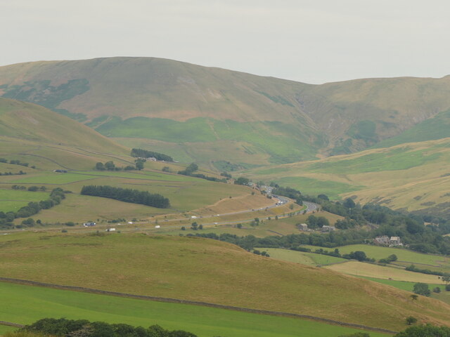
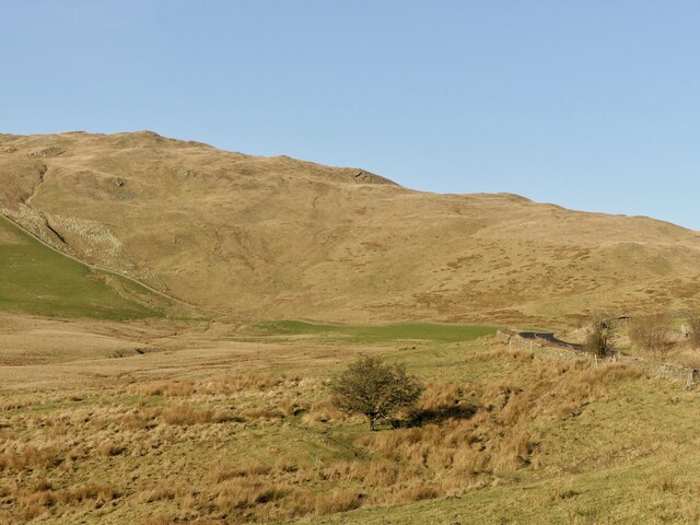
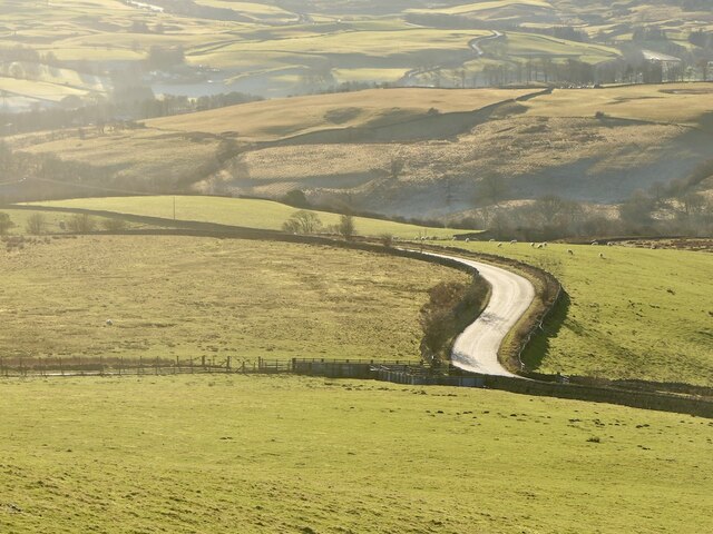
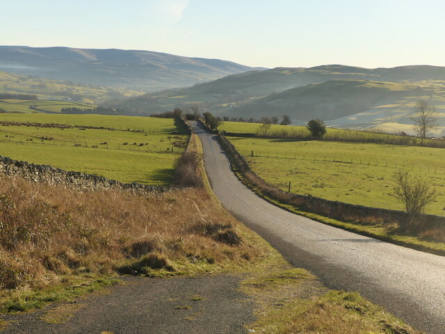
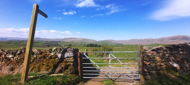
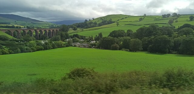
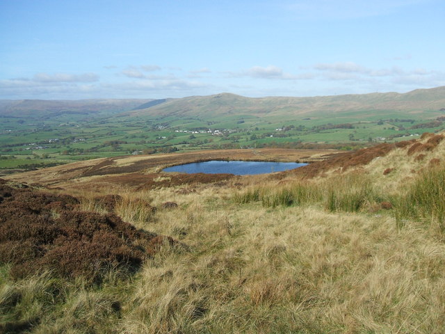
Lambert Ash Wood is a picturesque forest located in the county of Westmorland, England. Covering a sprawling area of land, this woodland is renowned for its dense population of ash trees, which dominate the landscape and lend it its distinctive name. The forest is situated in a rural setting, surrounded by rolling hills and verdant meadows, creating a tranquil and idyllic atmosphere.
The Lambert Ash Wood is a haven for nature enthusiasts and outdoor lovers, offering a range of recreational activities. Walking and hiking trails crisscross the forest, allowing visitors to explore its diverse ecosystems and discover its hidden treasures. The forest is home to a wide variety of flora and fauna, including numerous species of birds, small mammals, and insects, making it a popular spot for birdwatching and wildlife photography.
The forest is managed by a dedicated team of conservationists and foresters who work tirelessly to preserve its natural beauty and protect its delicate ecosystem. They ensure that the wood is well-maintained and free from invasive species, allowing the native plants and animals to thrive.
Lambert Ash Wood also serves as an important educational resource, hosting guided tours and workshops to promote awareness and understanding of woodland conservation. Visitors can learn about sustainable forest management practices and the importance of preserving these natural habitats for future generations.
Overall, Lambert Ash Wood is a cherished natural gem in Westmorland, offering a serene escape from the hustle and bustle of modern life and providing a sanctuary for both nature and humans to coexist harmoniously.
If you have any feedback on the listing, please let us know in the comments section below.
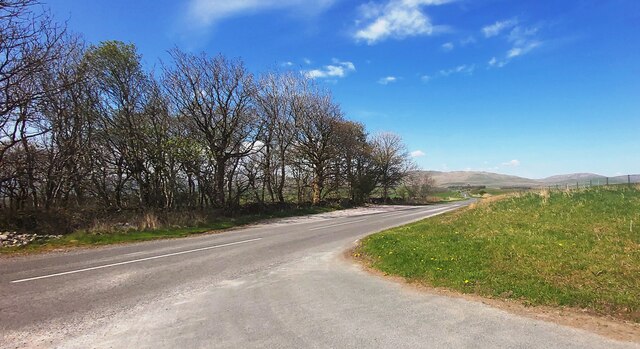
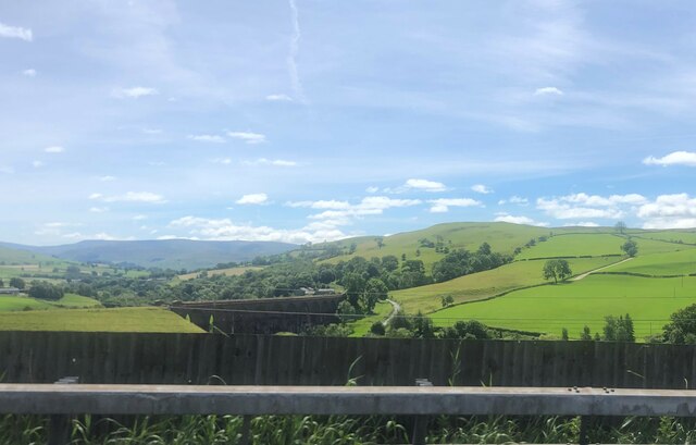
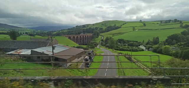
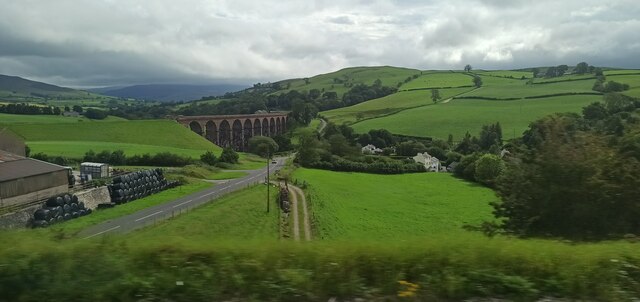
Lambert Ash Wood Images
Images are sourced within 2km of 54.366595/-2.6132287 or Grid Reference SD6096. Thanks to Geograph Open Source API. All images are credited.


Lambert Ash Wood is located at Grid Ref: SD6096 (Lat: 54.366595, Lng: -2.6132287)
Administrative County: Cumbria
District: South Lakeland
Police Authority: Cumbria
What 3 Words
///press.hang.consonant. Near Sedbergh, Cumbria
Nearby Locations
Related Wikis

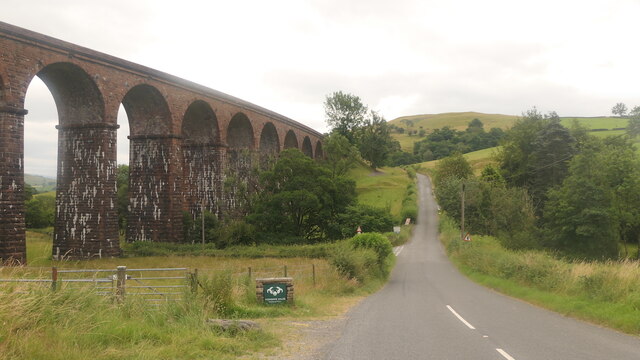
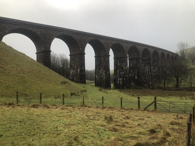
Grayrigg railway station
Grayrigg railway station in Lambrigg parish, was situated on the course of the original Lancaster and Carlisle Railway (L&CR) (the West Coast Main Line...
Lambrigg
Lambrigg is a civil parish in the South Lakeland district of the English county of Cumbria. It includes the hamlets of Cross Houses and Lambrigg Head...

Beck Foot
Beck Foot is a hamlet in Cumbria, England, situated on the B6257 road south of Lowgill, the West Coast Main Line and M6 motorway. The disused Lowgill Viaduct...

Low Gill railway station
Low Gill railway station served the hamlet of Lowgill, Westmorland (now in Cumbria), England, from 1846 to 1966 on the Lancaster and Carlisle Railway....
Nearby Amenities
Located within 500m of 54.366595,-2.6132287Have you been to Lambert Ash Wood?
Leave your review of Lambert Ash Wood below (or comments, questions and feedback).