Ightham

Civil Parish in Kent Tonbridge and Malling

England

Ightham

Borough Green Road, Ightham
Borough Green Road, Ightham Credit: Chris Whippet

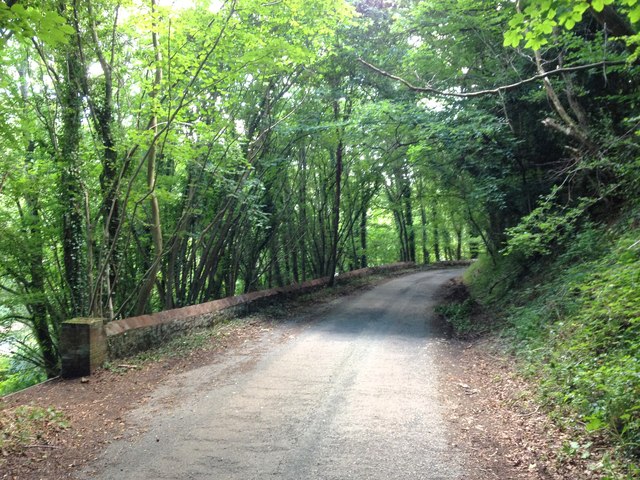
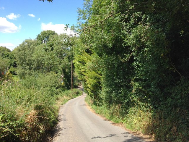
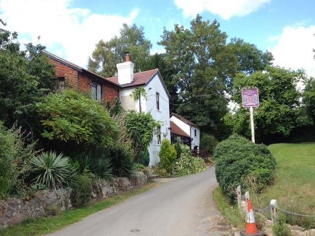
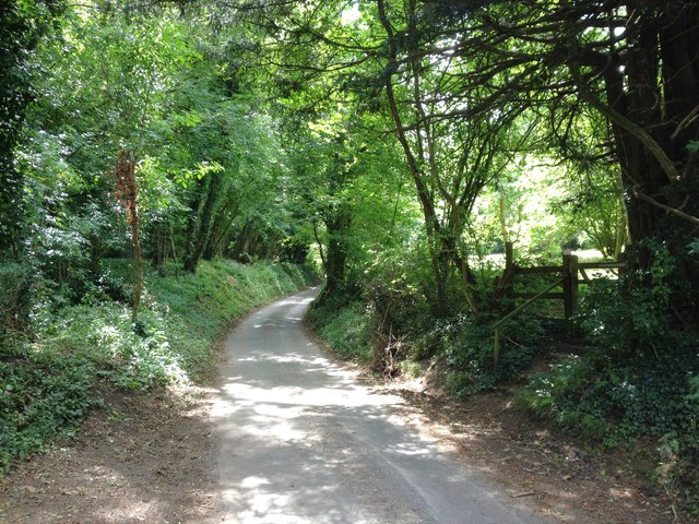
Ightham is a civil parish located in the county of Kent, England. Situated approximately 15 miles southeast of Sevenoaks, the parish covers an area of about 8 square miles and is home to a population of around 1,500 residents. The area is known for its picturesque countryside, charming villages, and historical landmarks.

One of the notable features of Ightham is the village of Ightham itself, which is often referred to as Ightham Mote. This medieval moated manor house is a popular tourist attraction and is considered one of the best-preserved examples of its kind in England. The house, along with its surrounding gardens and estate, is managed by the National Trust.

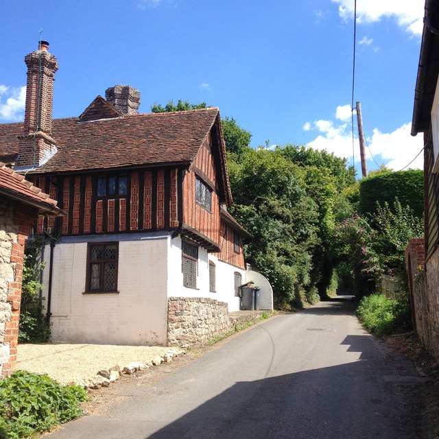
Aside from Ightham Mote, the civil parish of Ightham boasts several other historic buildings and landmarks. These include the 12th-century parish church of St. Peter, which features a Norman doorway and a 14th-century tower, as well as Oldbury Hill, an Iron Age hillfort that offers panoramic views of the surrounding countryside.

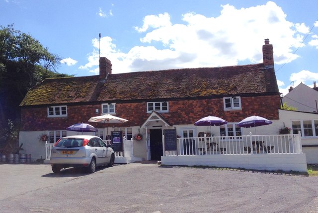
The area is also known for its thriving community spirit and local amenities. There are several shops, pubs, and restaurants in the village, providing residents and visitors with a range of options for dining and shopping. Additionally, the parish has a primary school, a village hall, and various sports and social clubs.

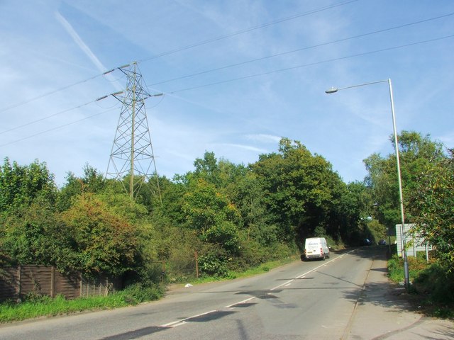
Ightham is well-connected to neighboring towns and cities by road, with the A25 passing through the village. The nearby railway stations of Sevenoaks and Borough Green & Wrotham provide convenient access to London and other destinations. Overall, Ightham offers a blend of history, natural beauty, and modern conveniences, making it an attractive place to live and visit.

If you have any feedback on the listing, please let us know in the comments section below.
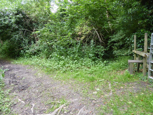
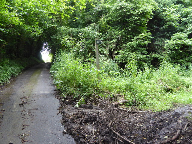
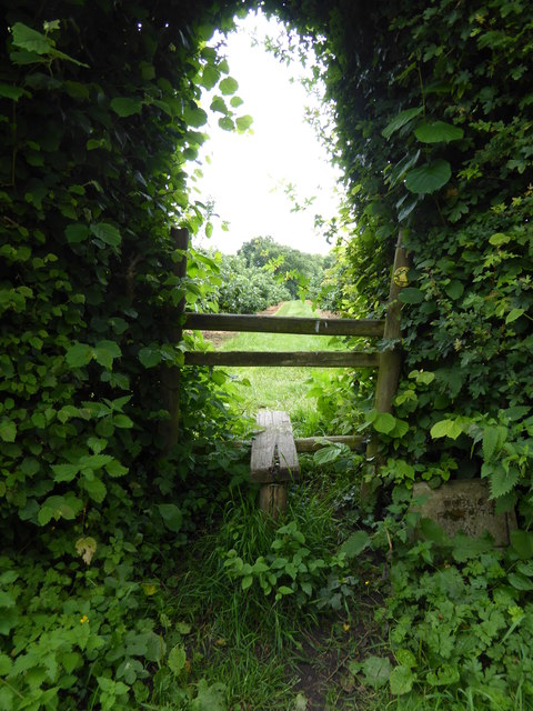
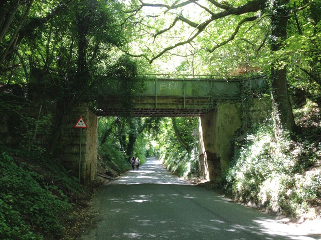
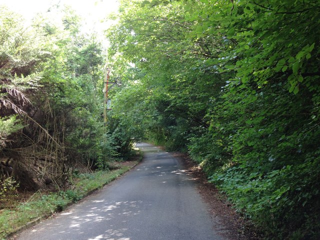
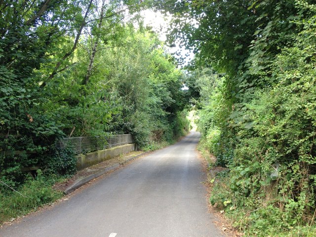
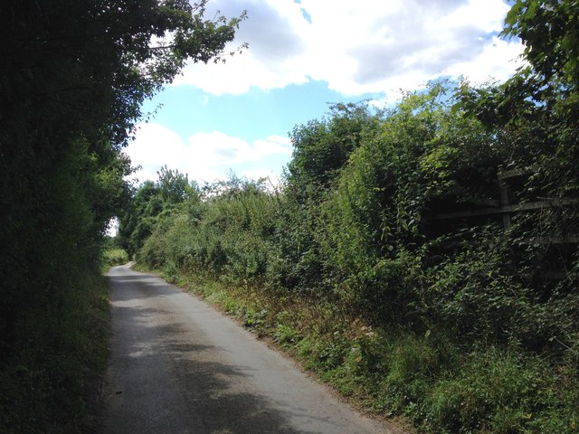
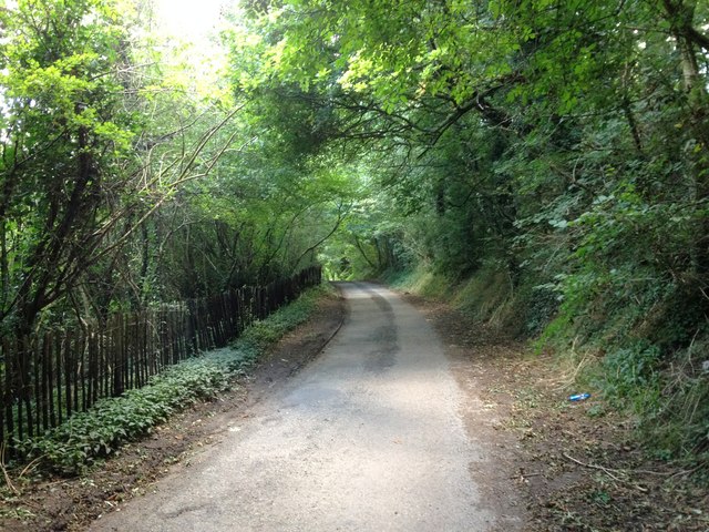
Ightham Images

Images are sourced within 2km of 51.280363/0.276291 or Grid Reference TQ5855. Thanks to Geograph Open Source API. All images are credited.

Borough Green Road, Ightham
London Countryway in Kent (120) Basted is reached.
London Countryway in Kent (120)
Basted is reached.
London Countryway in Kent (121) This is Basted Lane with the bridleway junction on the right.
London Countryway in Kent (121)
This is Basted Lane with the bridleway junction on the right.
London Countryway in Kent (122) The bridge is over the River Bourne and the walk takes the byway on the right.
London Countryway in Kent (122)
The bridge is over the River Bourne and the walk takes the byway on the right.
London Countryway in Kent (123) The byway passes a footpath junction on the right.  See also <a title="https://www.geograph.org.uk/photo/2578553" href="https://www.geograph.org.uk/photo/2578553">Link</a>.
London Countryway in Kent (123)
The byway passes a footpath junction on the right. See also Link.
London Countryway in Kent (124) The byway reaches Winfield Lane and turns right along it.
London Countryway in Kent (124)
The byway reaches Winfield Lane and turns right along it.
London Countryway in Kent (125) A left turn is taken over a stile onto a footpath through an orchard.
London Countryway in Kent (125)
A left turn is taken over a stile onto a footpath through an orchard.
Thong Lane, Borough Green
Thong Lane, near Borough Green
Mill Lane, near Borough Green
Crowhurst Lane, near Borough Green
Mill Lane, Basted
Mill Lane, Basted
Mill Lane, Basted
Mill Lane, Basted
Plough Hill, Basted
Plough Hill, Basted
The Plough, Basted
The Plough, Basted
Plough Hill, Basted
Plough Hill, Basted
The Golding Hop, near Plaxtol
Sheet Hill, near Plaxtol
Show me another place!

Ightham is located at Grid Ref: TQ5855 (Lat: 51.280363, Lng: 0.276291)

Administrative County: Kent

District: Tonbridge and Malling

Police Authority: Kent

What 3 Words

///wallet.tooth.wash. Near Borough Green, Kent

Related Wikis

The Old House, Ightham Common

The Old House is a Grade II listed public house at Redwell Lane, Ightham Common, Kent TN15 9EE.It is on the Campaign for Real Ale's National Inventory...

Oldbury rock shelters

The Oldbury rock shelters are a complex of Middle Palaeolithic sites situated on the slopes of Oldbury hillfort near Ightham in the English county of Kent...

Ightham

Ightham ( EYE-təm) is a parish and village in Kent, England, located approximately four miles east of Sevenoaks and six miles north of Tonbridge. The...

Oldbury Camp

Oldbury Camp (also known as Oldbury hill fort) is the largest Iron Age hill fort in south-eastern England. It was built in the 1st century BC by Celtic...

Ivy Hatch Nature Reserve

Ivy Hatch Nature Reserve in Ivy Hatch, north of Tonbridge in Kent, is a 0.5-hectare (1.2-acre) reserve managed by the Kent Wildlife Trust.Several streams...

Seal Chart

Seal Chart is a village 2 miles (3 km) east of Sevenoaks in Kent, England. It is within the Sevenoaks local government district. It is in the civil parish...

Oldbury and Seal Chart

Oldbury and Seal Chart is a 212.4-hectare (525-acre) biological Site of Special Scientific Interest east of Sevenoaks in Kent, England. It is in the Kent...

Basted, Kent

Basted is a hamlet in the Tonbridge and Malling district, in the county of Kent, England. == Nearby settlements == === Town === Sevenoaks === Villages... ===

Related Videos

Our visit to Ightham Mote in Kent

A tour around the house and grounds of Ightam Mote in Kent. This 14th-century National Trust manor house, surrounded by a ...

Nearby Amenities

Located within 500m of 51.280363,0.276291
Bus Stop
Spring Lane
Local Ref: opp
Naptan AtcoCode: 2400A060300A
Naptan Bearing: W
Naptan BusStopType: MKD
Naptan CommonName: Spring Lane
Naptan Crossing: Spring Lane
Naptan Indicator: opp
Naptan Landmark: Common Road
Naptan NaptanCode: kntjapmj
Naptan RevisionNumber: 5
Naptan Status: act
Naptan Street: Sevenoaks Road
Naptan Verified: no
Public Transport: platform
Ref: kntjapmj
Shelter: yes
Source: naptan_import
Source Date: 2018-06-15
Lat/Long: 51.2817695/0.2750549
Bus Stop
Spring Lane
Local Ref: adj
Naptan AtcoCode: 2400AO60290A
Naptan Bearing: E
Naptan BusStopType: MKD
Naptan CommonName: Spring Lane
Naptan Crossing: Spring Lane
Naptan Indicator: adj
Naptan Landmark: Common Road
Naptan NaptanCode: kntjapmp
Naptan RevisionNumber: 3
Naptan Status: act
Naptan Street: Sevenoaks Road
Naptan Verified: no
Public Transport: platform
Ref: kntjapmp
Shelter: yes
Source: naptan_import
Source Date: 2018-06-15
Lat/Long: 51.281782/0.2739513
Pub
The Old House
Wikidata: Q18161020
Lat/Long: 51.279881/0.2788778
Turning Circle
Lat/Long: 51.2838061/0.2777256
Turning Circle
Lat/Long: 51.2832927/0.2758377
Grit Bin
Lat/Long: 51.2777389/0.2746056
Grit Bin
Lat/Long: 51.2798389/0.2789565
Post Box
Collection Times: Mo-Fr 17:15; Sa 10:00; Su off
Colour: red
Ref: TN15 120
Royal Cypher: EIIR
Royal Cypher Wikidata: Q33102113
Lat/Long: 51.2781115/0.2744747
Grit Bin
Lat/Long: 51.2780552/0.2759866
Generator Method: photovoltaic
Generator Output Electricity: yes
Generator Source: solar
Generator Type: solar_photovoltaic_panel
Location: roof
Power: generator
Lat/Long: 51.278217/0.2772023
Generator Method: photovoltaic
Generator Output Electricity: yes
Generator Source: solar
Generator Type: solar_photovoltaic_panel
Location: roof
Power: generator
Lat/Long: 51.2779309/0.2781692
Generator Method: photovoltaic
Generator Output Electricity: yes
Generator Source: solar
Generator Type: solar_photovoltaic_panel
Location: roof
Power: generator
Lat/Long: 51.2778219/0.2794352
Generator Method: photovoltaic
Generator Output Electricity: yes
Generator Source: solar
Generator Type: solar_photovoltaic_panel
Location: roof
Power: generator
Lat/Long: 51.2830237/0.2789873
The data included in this document is from www.openstreetmap.org. The data is made available under ODbL.

Have you been to Ightham?

Leave your review of Ightham below (or comments, questions and feedback).