Rose Wood
Wood, Forest in Kent Tonbridge and Malling
England
Rose Wood
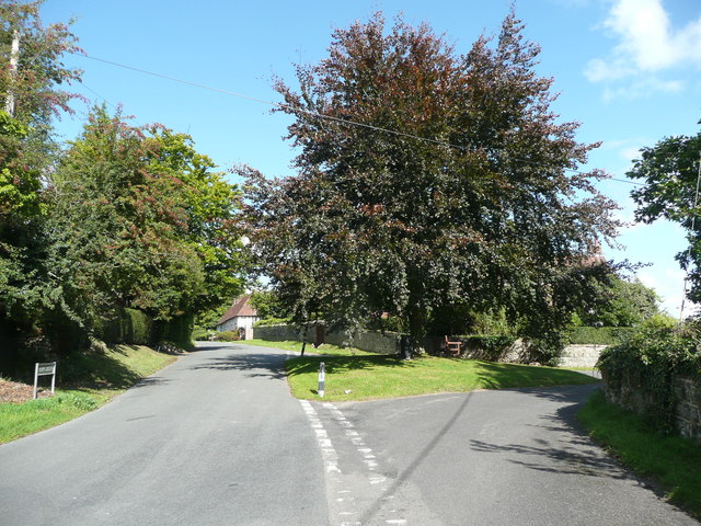
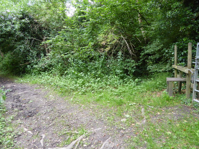
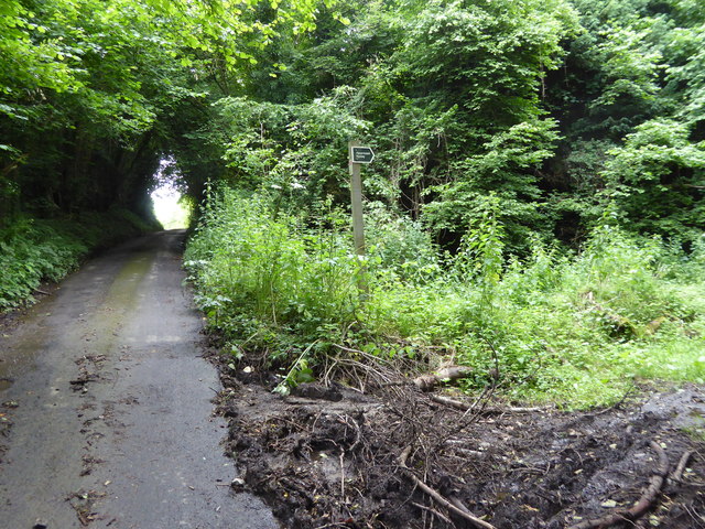
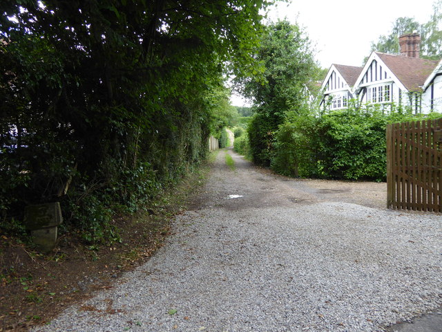
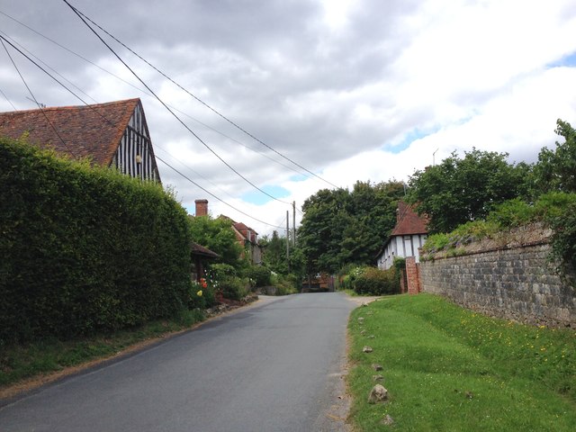
Rose Wood is a small, picturesque woodland located in the county of Kent, England. It covers an area of approximately 50 acres and is known for its dense collection of rose trees, which give the wood its charming name. The wood is part of a larger forested area, which adds to its natural beauty and provides a habitat for various flora and fauna.
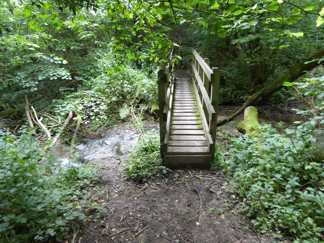
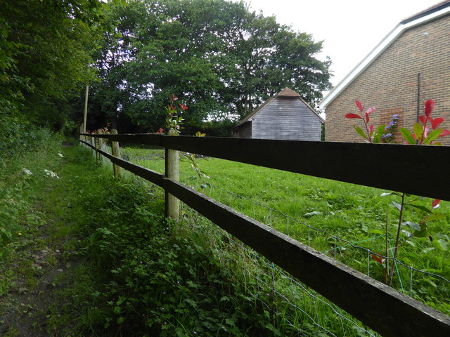
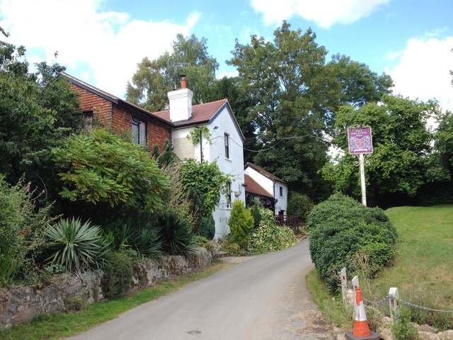
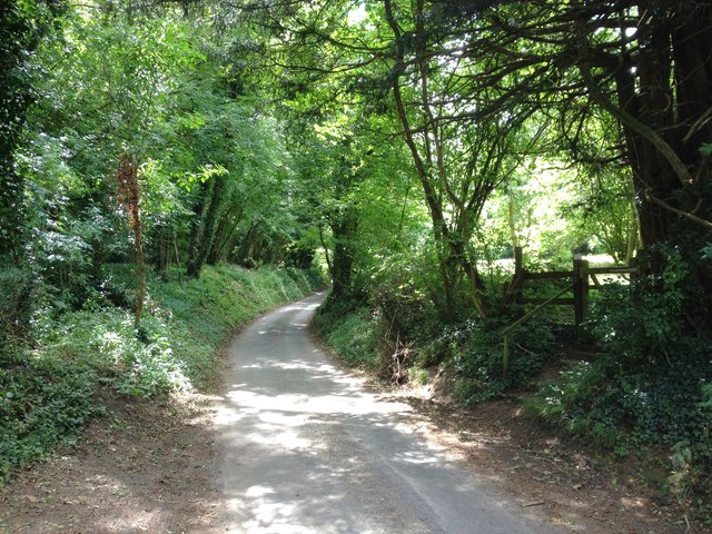
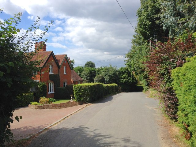
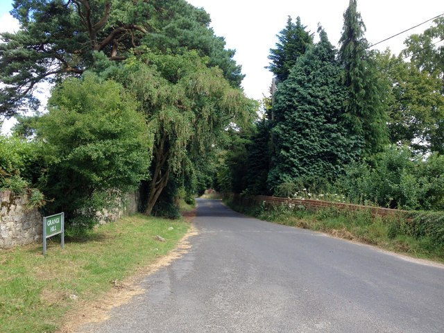
The woodland is easily accessible, situated just a few miles outside the town of Kent. It is a popular destination for nature enthusiasts, hikers, and families looking to enjoy a peaceful day outdoors. The wood offers several well-maintained trails, allowing visitors to explore its scenic beauty at their own pace.
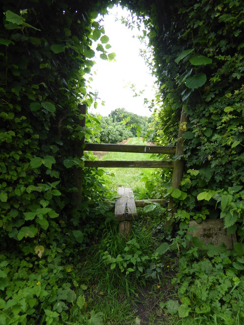
Rose Wood is characterized by its lush greenery, with a carpet of bluebells covering the forest floor in the springtime. The trees in the wood are predominantly oak, ash, and beech, providing a rich canopy that offers shade during the summer months. This, combined with the gentle sound of birdsong, creates a tranquil and serene atmosphere.
The woodland is home to a diverse range of wildlife, including deer, foxes, badgers, and a variety of bird species. Nature enthusiasts can often spot woodpeckers, jays, and robins among the trees. Additionally, the wood is known for its butterfly population, with various species fluttering through the air on warmer days.
Overall, Rose Wood in Kent is a delightful natural retreat, offering visitors a serene escape from the hustle and bustle of everyday life. Its stunning natural beauty, diverse wildlife, and well-maintained trails make it an ideal destination for those seeking a peaceful and immersive experience in nature.
If you have any feedback on the listing, please let us know in the comments section below.
Rose Wood Images
Images are sourced within 2km of 51.272625/0.27440241 or Grid Reference TQ5855. Thanks to Geograph Open Source API. All images are credited.


Rose Wood is located at Grid Ref: TQ5855 (Lat: 51.272625, Lng: 0.27440241)
Administrative County: Kent
District: Tonbridge and Malling
Police Authority: Kent
What 3 Words
///vows.saints.flight. Near Borough Green, Kent
Nearby Locations
Related Wikis

Ivy Hatch Nature Reserve
Ivy Hatch Nature Reserve in Ivy Hatch, north of Tonbridge in Kent, is a 0.5-hectare (1.2-acre) reserve managed by the Kent Wildlife Trust.Several streams...

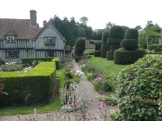
The Old House, Ightham Common
The Old House is a Grade II listed public house at Redwell Lane, Ightham Common, Kent TN15 9EE.It is on the Campaign for Real Ale's National Inventory...

Oldbury Camp
Oldbury Camp (also known as Oldbury hill fort) is the largest Iron Age hill fort in south-eastern England. It was built in the 1st century BC by Celtic...

Oldbury and Seal Chart
Oldbury and Seal Chart is a 212.4-hectare (525-acre) biological Site of Special Scientific Interest east of Sevenoaks in Kent, England. It is in the Kent...

Oldbury rock shelters
The Oldbury rock shelters are a complex of Middle Palaeolithic sites situated on the slopes of Oldbury hillfort near Ightham in the English county of Kent...
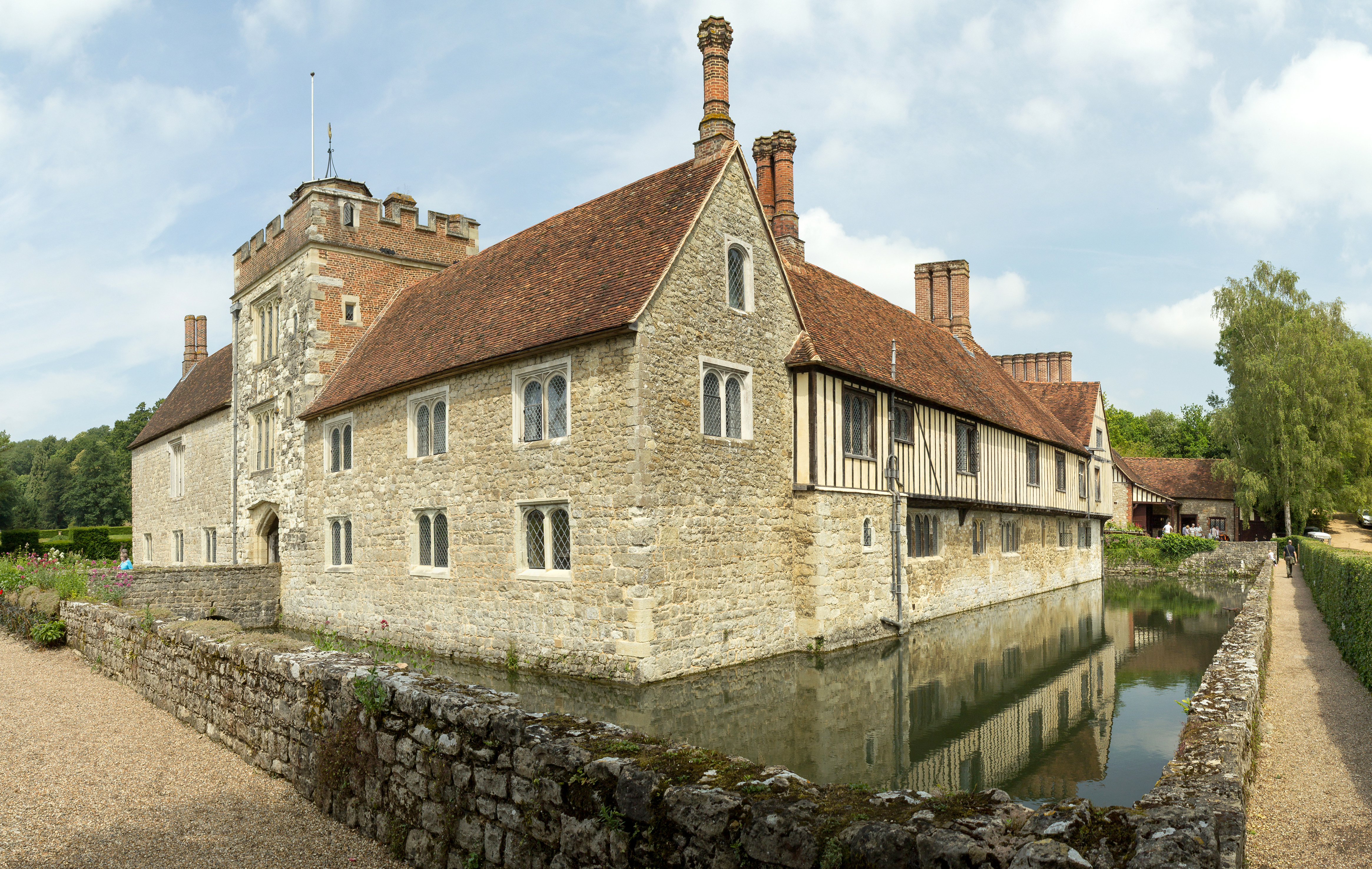
Ightham Mote
Ightham Mote (), at Ightham, is a medieval moated manor house in Kent, England. The architectural writer John Newman describes it as "the most complete...

Ightham
Ightham ( EYE-təm) is a parish and village in Kent, England, located approximately four miles east of Sevenoaks and six miles north of Tonbridge. The...

Fairlawne
Fairlawne is a Grade I listed house in Shipbourne, Kent, England, about 30 miles southeast of central London. The Fairlawne Estate is extensive and stretches...
Nearby Amenities
Located within 500m of 51.272625,0.27440241Have you been to Rose Wood?
Leave your review of Rose Wood below (or comments, questions and feedback).