Ightham Common

Settlement in Kent Tonbridge and Malling

England

Ightham Common

London Countryway in Kent (121) This is Basted Lane with the bridleway junction on the right.
London Countryway in Kent (121) Credit: Shazz

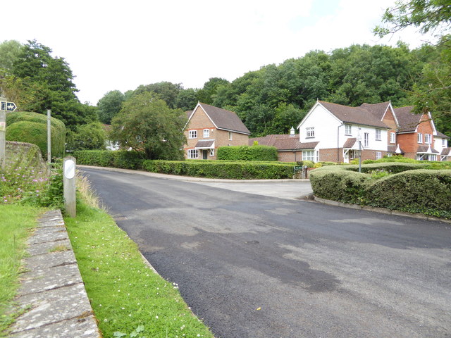
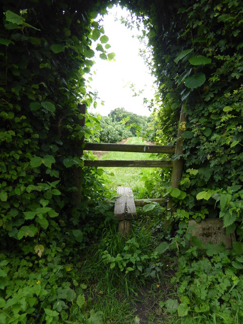
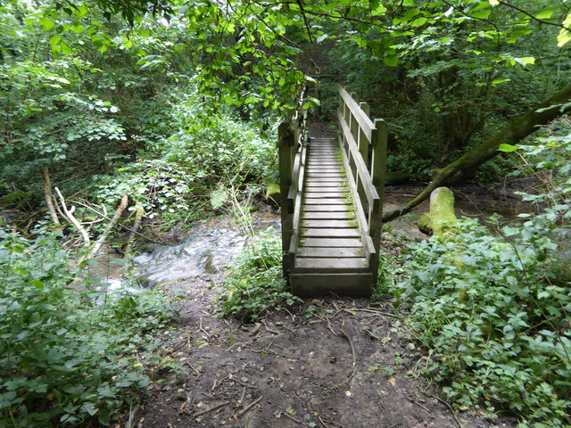
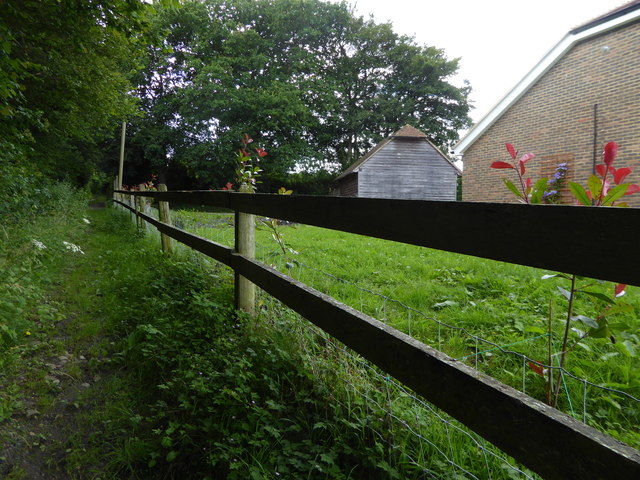
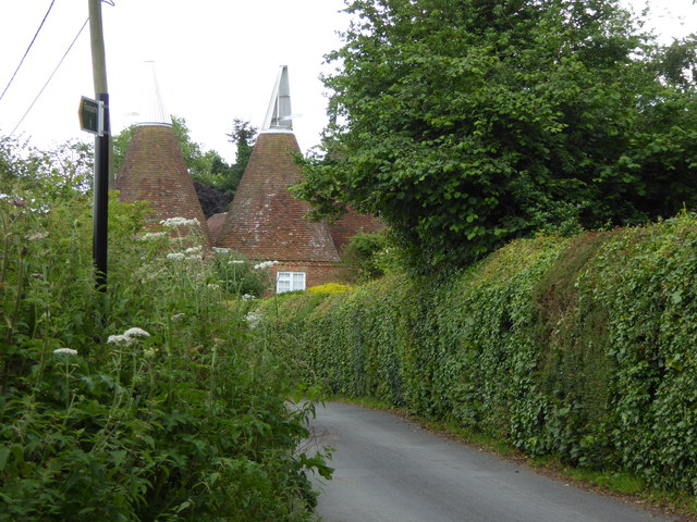
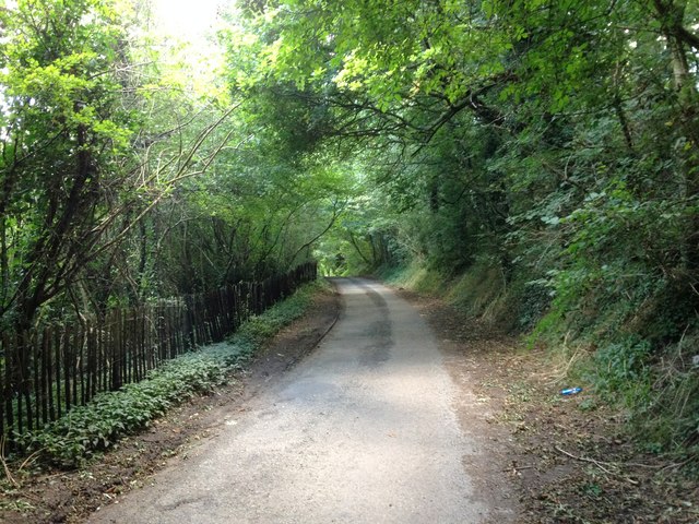
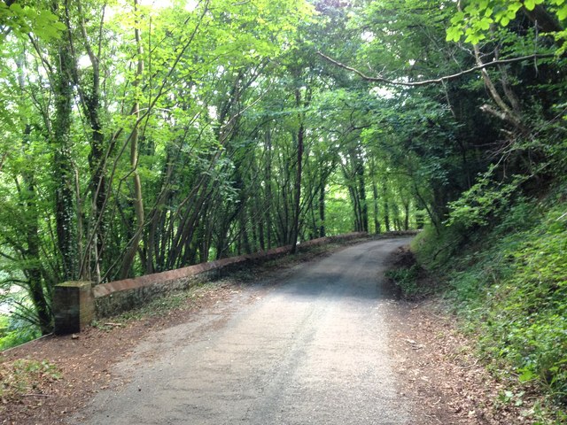
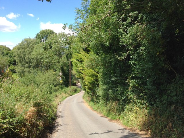
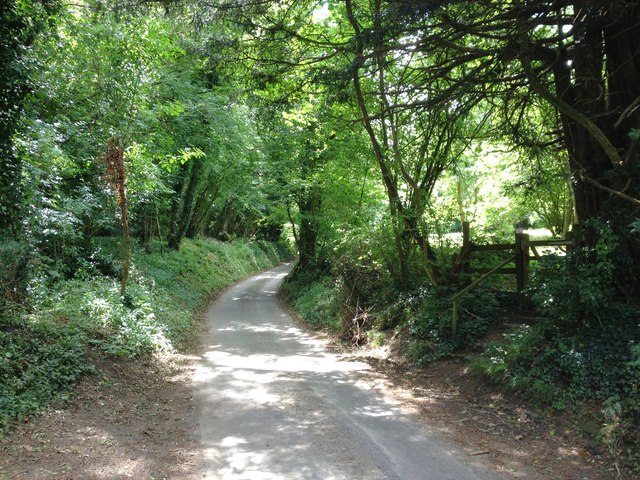
Ightham Common is a beautiful area located in the county of Kent, England. It is situated near the village of Ightham and covers an expansive area of approximately 250 acres. The common is characterized by its diverse landscape, consisting of heathland, woodland, and grassland.

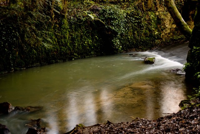
The common is renowned for its remarkable natural beauty and is a designated Site of Special Scientific Interest (SSSI). It boasts a rich variety of flora and fauna, making it a haven for nature enthusiasts and wildlife lovers. Visitors to Ightham Common can expect to see a wide range of plant species, including heather, gorse, and bilberry, as well as numerous species of birds, butterflies, and insects.

The common is also home to several important archaeological sites, which further contribute to its historical significance. Notably, there are remnants of a medieval settlement known as Oldbury, including the impressive Oldbury Hillfort. This ancient fortification is believed to have been constructed during the Iron Age and offers visitors a glimpse into the region's rich past.

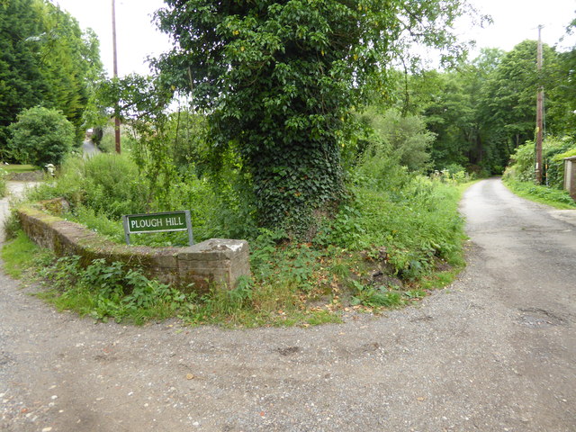
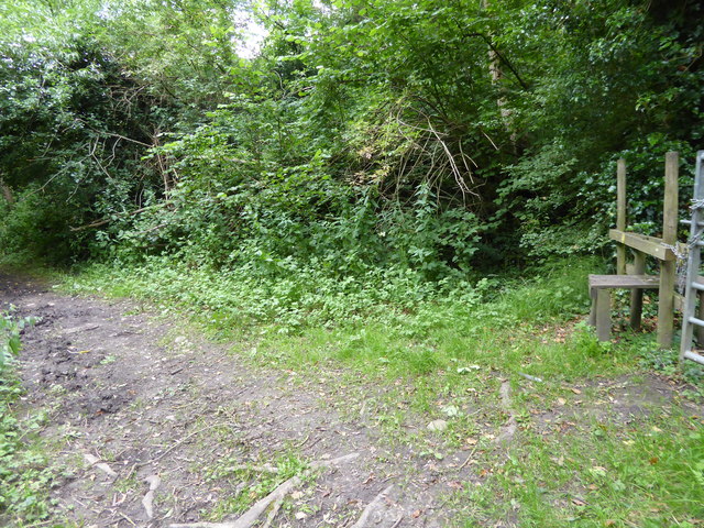
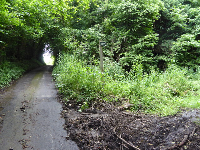
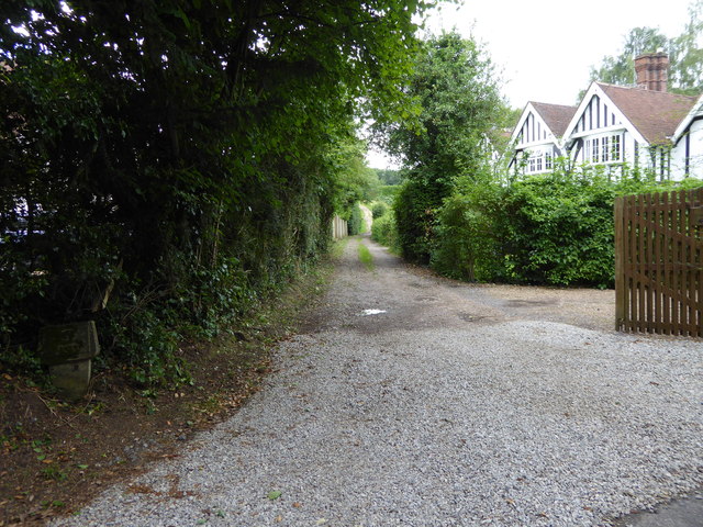
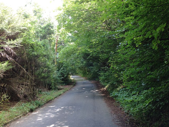
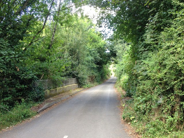
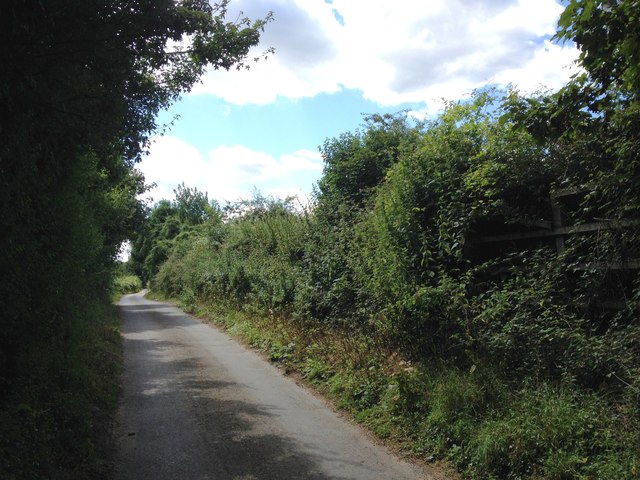
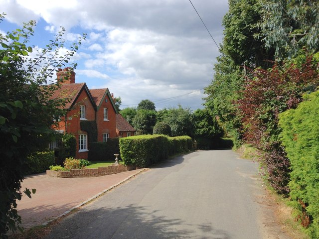
Ightham Common is a popular destination for outdoor activities such as walking, cycling, and horse riding. It features a network of well-maintained trails that allow visitors to explore its varied terrain and enjoy the stunning views. The common is easily accessible and provides ample parking facilities for those wishing to visit.

Overall, Ightham Common is a captivating natural and historical site that offers a tranquil escape from the hustle and bustle of everyday life. Its diverse landscape, abundant wildlife, and rich heritage make it a must-visit destination for both locals and tourists alike.

If you have any feedback on the listing, please let us know in the comments section below.

Ightham Common Images

Images are sourced within 2km of 51.275756/0.27527397 or Grid Reference TQ5855. Thanks to Geograph Open Source API. All images are credited.

London Countryway in Kent (121) This is Basted Lane with the bridleway junction on the right.
London Countryway in Kent (121)
This is Basted Lane with the bridleway junction on the right.
London Countryway in Kent (122) The bridge is over the River Bourne and the walk takes the byway on the right.
London Countryway in Kent (122)
The bridge is over the River Bourne and the walk takes the byway on the right.
London Countryway in Kent (123) The byway passes a footpath junction on the right.  See also <a title="https://www.geograph.org.uk/photo/2578553" href="https://www.geograph.org.uk/photo/2578553">Link</a>.
London Countryway in Kent (123)
The byway passes a footpath junction on the right. See also Link.
London Countryway in Kent (124) The byway reaches Winfield Lane and turns right along it.
London Countryway in Kent (124)
The byway reaches Winfield Lane and turns right along it.
London Countryway in Kent (125) A left turn is taken over a stile onto a footpath through an orchard.
London Countryway in Kent (125)
A left turn is taken over a stile onto a footpath through an orchard.
London Countryway in Kent (126) A stream is crossed before the ascent to Yopps Hill.  See also <a title="https://www.geograph.org.uk/photo/1292960" href="https://www.geograph.org.uk/photo/1292960">Link</a>.
London Countryway in Kent (126)
A stream is crossed before the ascent to Yopps Hill. See also Link.
London Countryway in Kent (127) The enclosed footpath continues uphill.
London Countryway in Kent (127)
The enclosed footpath continues uphill.
London Countryway in Kent (128) The walk arrives at Yopps Green with a view of oasts.  Another picture of the oasts is at <a title="https://www.geograph.org.uk/photo/2578698" href="https://www.geograph.org.uk/photo/2578698">Link</a>.
London Countryway in Kent (128)
The walk arrives at Yopps Green with a view of oasts. Another picture of the oasts is at Link.
London Countryway in Kent (129) This bridleway is followed westwards from the road.  See also <a title="https://www.geograph.org.uk/photo/1573583" href="https://www.geograph.org.uk/photo/1573583">Link</a>.
London Countryway in Kent (129)
This bridleway is followed westwards from the road. See also Link.
Thong Lane, near Borough Green
Mill Lane, near Borough Green
Crowhurst Lane, near Borough Green
Mill Lane, Basted
Mill Lane, Basted
Mill Lane, Basted
Mill Lane, Basted
Plough Hill, Basted
Plough Hill, Basted
The Golding Hop, near Plaxtol
Sheet Hill, near Plaxtol
Yopps Green, near Plaxtol
Show me another place!

Ightham Common is located at Grid Ref: TQ5855 (Lat: 51.275756, Lng: 0.27527397)

Administrative County: Kent

District: Tonbridge and Malling

Police Authority: Kent

What 3 Words

///models.porch.flown. Near Borough Green, Kent

Related Wikis

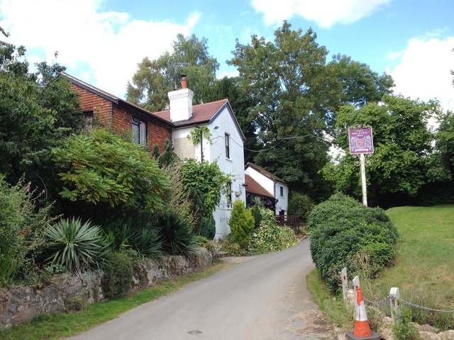
The Old House, Ightham Common

The Old House is a Grade II listed public house at Redwell Lane, Ightham Common, Kent TN15 9EE.It is on the Campaign for Real Ale's National Inventory...

Ivy Hatch Nature Reserve

Ivy Hatch Nature Reserve in Ivy Hatch, north of Tonbridge in Kent, is a 0.5-hectare (1.2-acre) reserve managed by the Kent Wildlife Trust.Several streams...

Oldbury Camp

Oldbury Camp (also known as Oldbury hill fort) is the largest Iron Age hill fort in south-eastern England. It was built in the 1st century BC by Celtic...

Oldbury rock shelters

The Oldbury rock shelters are a complex of Middle Palaeolithic sites situated on the slopes of Oldbury hillfort near Ightham in the English county of Kent...

Ightham

Ightham ( EYE-təm) is a parish and village in Kent, England, located approximately four miles east of Sevenoaks and six miles north of Tonbridge. The...

Oldbury and Seal Chart

Oldbury and Seal Chart is a 212.4-hectare (525-acre) biological Site of Special Scientific Interest east of Sevenoaks in Kent, England. It is in the Kent...

Seal Chart

Seal Chart is a village 2 miles (3 km) east of Sevenoaks in Kent, England. It is within the Sevenoaks local government district. It is in the civil parish...

Bourne Alder Carr

Bourne Alder Carr is a 13.4-hectare (33-acre) biological Site of Special Scientific Interest east of Sevenoaks in Kent.The River Bourne runs through a...

Nearby Amenities

Located within 500m of 51.275756,0.27527397
Turning Circle
Source: Bing
Lat/Long: 51.2743517/0.2805695
Grit Bin
Lat/Long: 51.2732191/0.2780565
Ightham Common
Place: locality
Lat/Long: 51.2762368/0.2704406
Turning Circle
Lat/Long: 51.2770471/0.2698951
Grit Bin
Lat/Long: 51.2777389/0.2746056
Post Box
Collection Times: Mo-Fr 17:15; Sa 10:00; Su off
Colour: red
Ref: TN15 120
Royal Cypher: EIIR
Royal Cypher Wikidata: Q33102113
Lat/Long: 51.2781115/0.2744747
Grit Bin
Lat/Long: 51.2780552/0.2759866
Generator Method: photovoltaic
Generator Output Electricity: yes
Generator Source: solar
Generator Type: solar_photovoltaic_panel
Location: roof
Power: generator
Lat/Long: 51.2763571/0.2727082
Generator Method: photovoltaic
Generator Output Electricity: yes
Generator Source: solar
Generator Type: solar_photovoltaic_panel
Location: roof
Power: generator
Lat/Long: 51.2751406/0.2792528
Generator Method: photovoltaic
Generator Output Electricity: yes
Generator Source: solar
Generator Type: solar_photovoltaic_panel
Location: roof
Power: generator
Lat/Long: 51.278217/0.2772023
Generator Method: photovoltaic
Generator Output Electricity: yes
Generator Source: solar
Generator Type: solar_photovoltaic_panel
Location: roof
Power: generator
Lat/Long: 51.2779309/0.2781692
Generator Method: photovoltaic
Generator Output Electricity: yes
Generator Source: solar
Generator Type: solar_photovoltaic_panel
Location: roof
Power: generator
Lat/Long: 51.2778219/0.2794352
The data included in this document is from www.openstreetmap.org. The data is made available under ODbL.

Have you been to Ightham Common?

Leave your review of Ightham Common below (or comments, questions and feedback).