Ilkeston Junction
Settlement in Nottinghamshire Erewash
England
Ilkeston Junction
Ilkeston Junction is a small village located in the county of Nottinghamshire, England. Situated in the Erewash Valley, it lies approximately 9 miles west of Nottingham city centre and 8 miles east of Derby. The village takes its name from the nearby railway junction, which connects the Nottingham to Derby Line with the Erewash Valley Line.
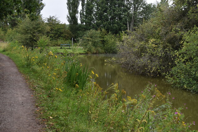
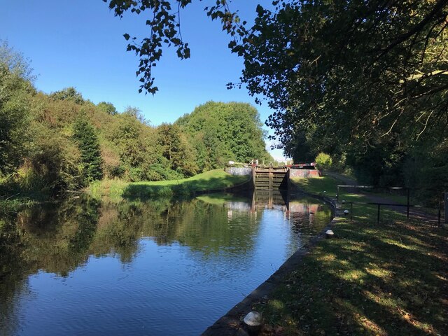
Despite its small size, Ilkeston Junction has a rich industrial history. Historically, the village was known for its coal mining and lace-making industries, which played a significant role in the local economy. The nearby Erewash Canal, which runs through the village, was also an important transportation route during this time.
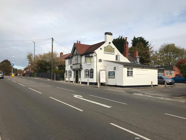
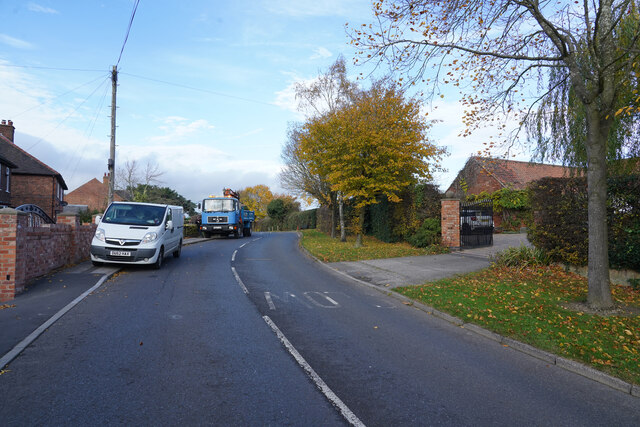
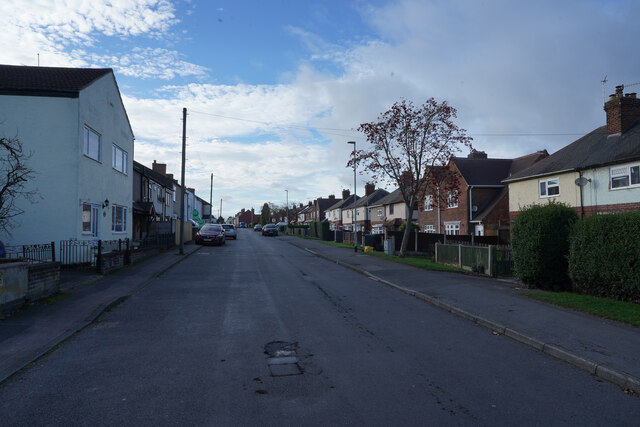
Today, Ilkeston Junction is a peaceful residential area, attracting both families and commuters. The village offers a range of amenities, including a primary school, local shops, and a few pubs. Its location provides easy access to nearby towns and cities, making it an attractive place to live for those who work in Nottingham or Derby.
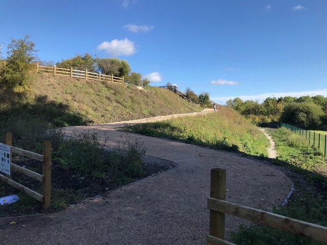
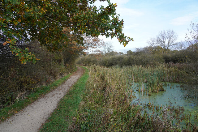
Nature lovers are drawn to Ilkeston Junction for its proximity to several green spaces, such as the Erewash Meadows Nature Reserve and the Nutbrook Trail. These areas offer opportunities for outdoor activities such as walking, cycling, and birdwatching.
Overall, Ilkeston Junction is a small but vibrant village with a mix of industrial heritage and natural beauty. It provides a peaceful and convenient place to live within easy reach of larger urban centers.
If you have any feedback on the listing, please let us know in the comments section below.
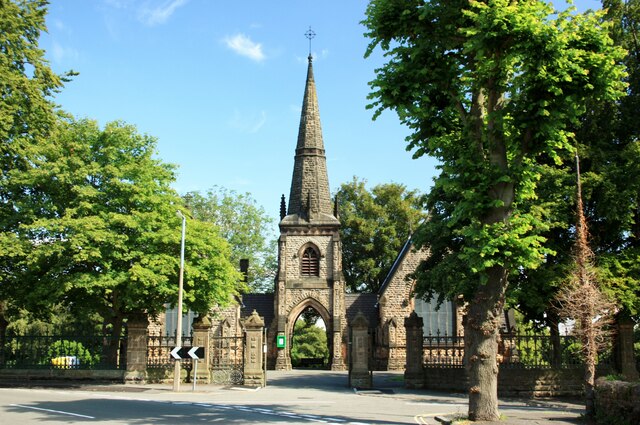
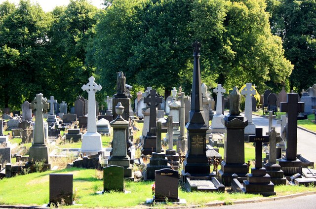
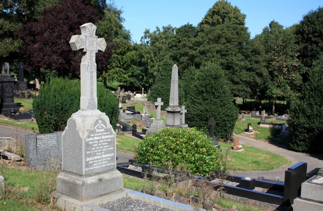
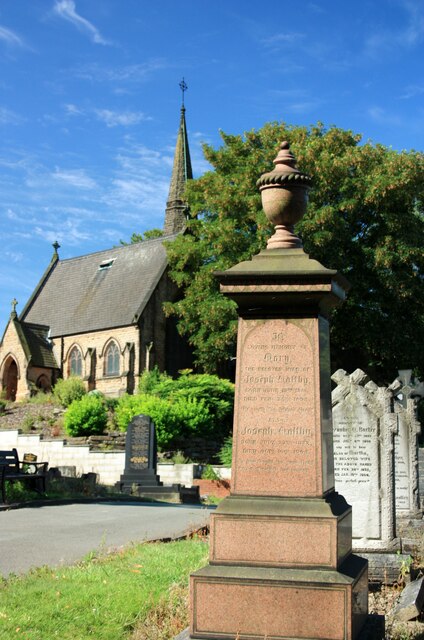
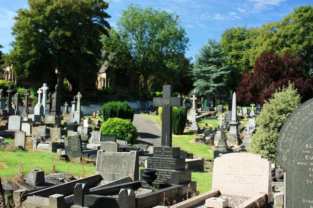
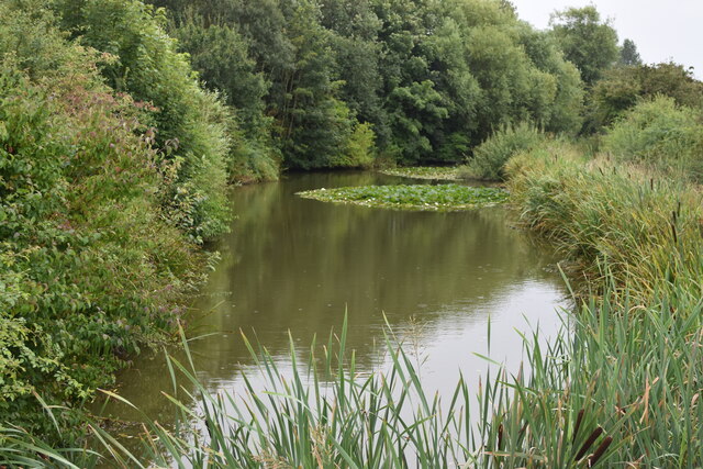
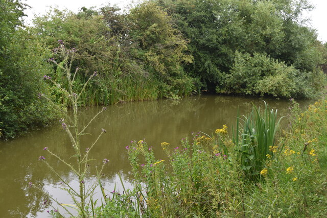
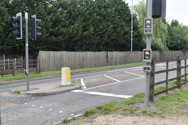
Ilkeston Junction Images
Images are sourced within 2km of 52.977584/-1.2962006 or Grid Reference SK4742. Thanks to Geograph Open Source API. All images are credited.
Ilkeston Junction is located at Grid Ref: SK4742 (Lat: 52.977584, Lng: -1.2962006)
Administrative County: Derbyshire
District: Erewash
Police Authority: Derbyshire
What 3 Words
///many.breed.storm. Near Ilkeston, Derbyshire
Nearby Locations
Related Wikis

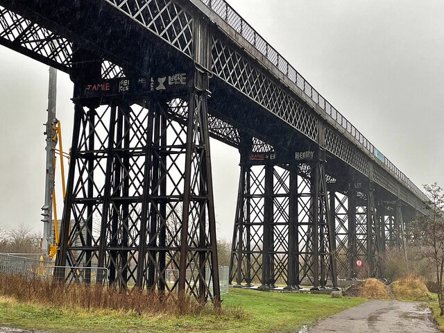
Ilkeston Junction and Cossall railway station
Ilkeston Junction and Cossall railway station was a railway station which served the town of Ilkeston in Derbyshire, England. == History == It was opened...

Ilkeston railway station
Ilkeston railway station serves the town of Ilkeston, Derbyshire, England. It is located at the site of the former Ilkeston Junction and Cossall station...
Ilkeston F.C.
Ilkeston Football Club was an English semi-professional football club based at the New Manor Ground in Ilkeston, Derbyshire, England. == History == The...
Ilkeston Town F.C.
Ilkeston Town Football Club is a football club based in Ilkeston, Derbyshire, England. They currently play in the Northern Premier League Premier Division...
Nearby Amenities
Located within 500m of 52.977584,-1.2962006Have you been to Ilkeston Junction?
Leave your review of Ilkeston Junction below (or comments, questions and feedback).