Igtham Common
Settlement in Kent Tonbridge and Malling
England
Igtham Common
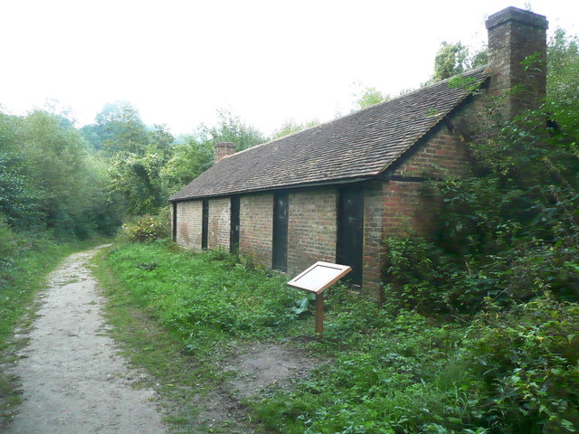
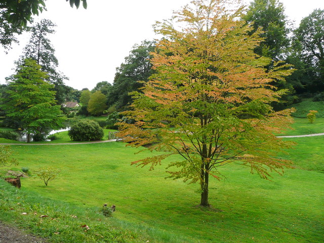
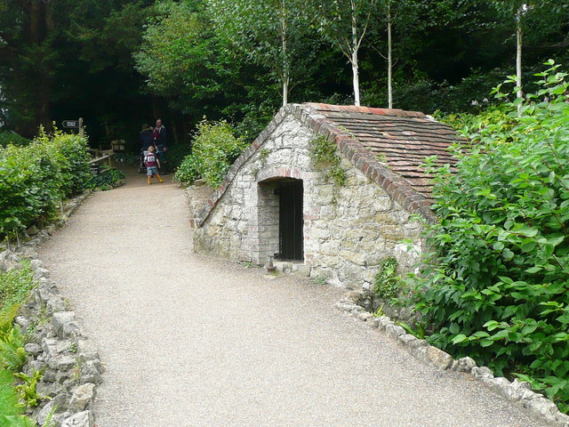
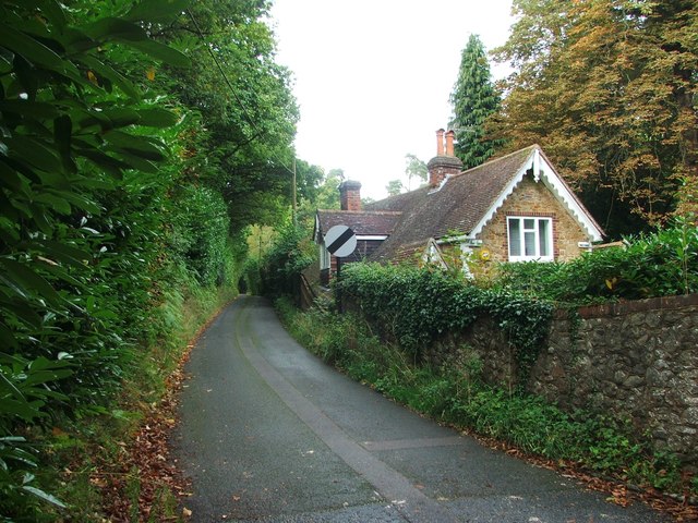
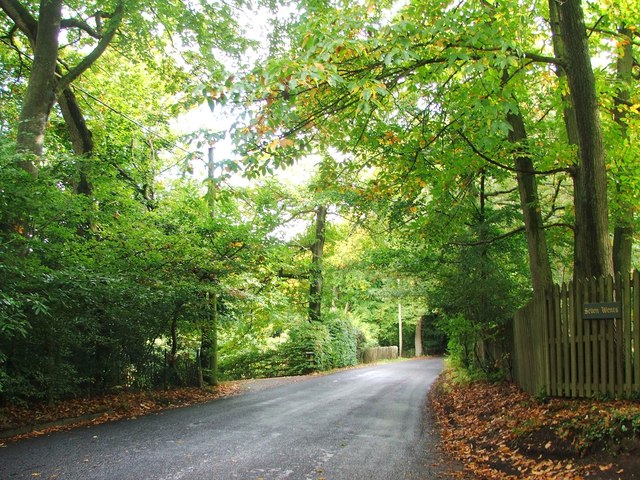
Ightham Common is a picturesque area located in the county of Kent, in southeastern England. This natural expanse covers around 250 acres of land and is situated within the larger Ightham Mote estate, which is owned and managed by the National Trust. The common is characterized by its diverse habitats, comprising ancient woodland, meadows, heathland, and ponds.
The woodland in Igtham Common is particularly noteworthy, as it is believed to be over 400 years old, containing a mix of broadleaf trees such as oak, beech, and silver birch. The area is teeming with wildlife, including rare and endangered species like the Duke of Burgundy butterfly, nightjars, and woodpeckers. Moreover, the common is home to a variety of wildflowers, which bloom vibrantly during spring and summer, creating a stunning display of colors.
Visitors to Igtham Common can explore the well-maintained network of footpaths and trails that crisscross the area, providing ample opportunities for walking, hiking, and birdwatching. The common also offers a tranquil atmosphere, making it an ideal spot for picnics and relaxation.
With its rich history and natural beauty, Igtham Common has become a popular destination for nature enthusiasts, photographers, and those seeking a peaceful retreat away from the hustle and bustle of urban life. The National Trust ensures the preservation and conservation of this unique landscape, allowing visitors to enjoy the beauty of Igtham Common for years to come.
If you have any feedback on the listing, please let us know in the comments section below.
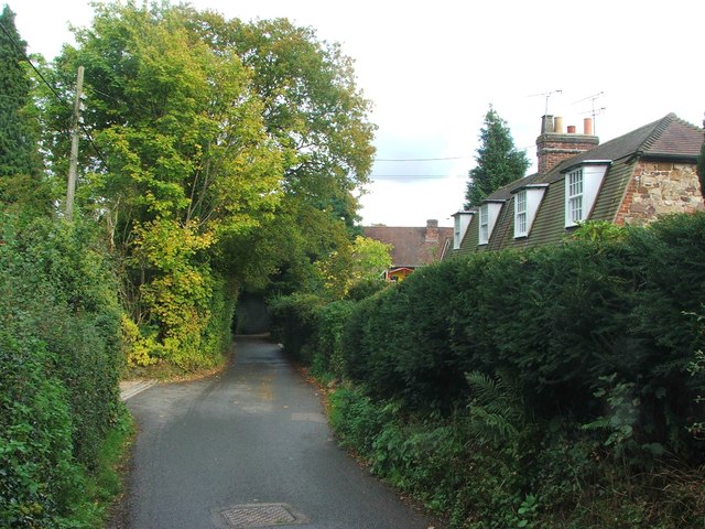
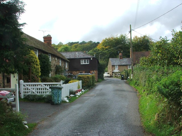
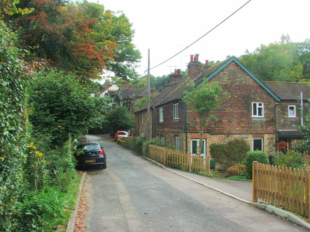
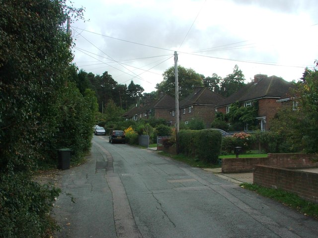
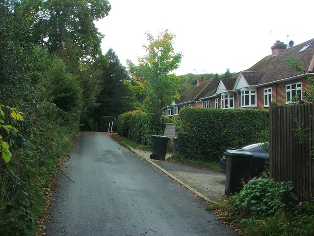
Igtham Common Images
Images are sourced within 2km of 51.272249/0.26364524 or Grid Reference TQ5855. Thanks to Geograph Open Source API. All images are credited.
Igtham Common is located at Grid Ref: TQ5855 (Lat: 51.272249, Lng: 0.26364524)
Administrative County: Kent
District: Tonbridge and Malling
Police Authority: Kent
What 3 Words
///orders.foster.light. Near Borough Green, Kent
Nearby Locations
Related Wikis

Ivy Hatch Nature Reserve
Ivy Hatch Nature Reserve in Ivy Hatch, north of Tonbridge in Kent, is a 0.5-hectare (1.2-acre) reserve managed by the Kent Wildlife Trust.Several streams...

Oldbury Camp
Oldbury Camp (also known as Oldbury hill fort) is the largest Iron Age hill fort in south-eastern England. It was built in the 1st century BC by Celtic...

Oldbury and Seal Chart
Oldbury and Seal Chart is a 212.4-hectare (525-acre) biological Site of Special Scientific Interest east of Sevenoaks in Kent, England. It is in the Kent...

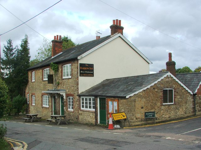
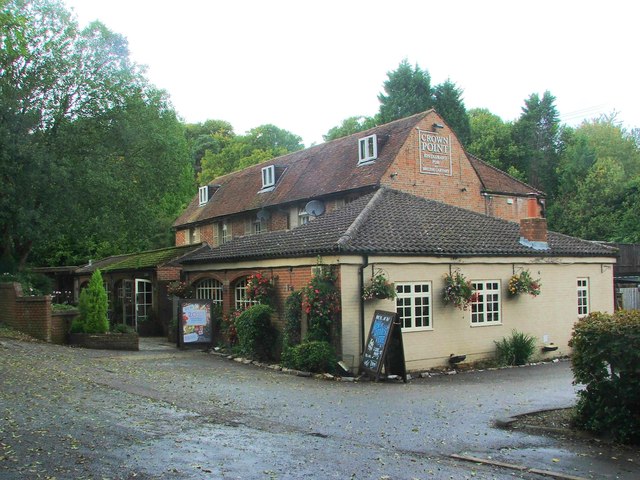
The Old House, Ightham Common
The Old House is a Grade II listed public house at Redwell Lane, Ightham Common, Kent TN15 9EE.It is on the Campaign for Real Ale's National Inventory...
Seal Chart
Seal Chart is a village 2 miles (3 km) east of Sevenoaks in Kent, England. It is within the Sevenoaks local government district. It is in the civil parish...

Oldbury rock shelters
The Oldbury rock shelters are a complex of Middle Palaeolithic sites situated on the slopes of Oldbury hillfort near Ightham in the English county of Kent...
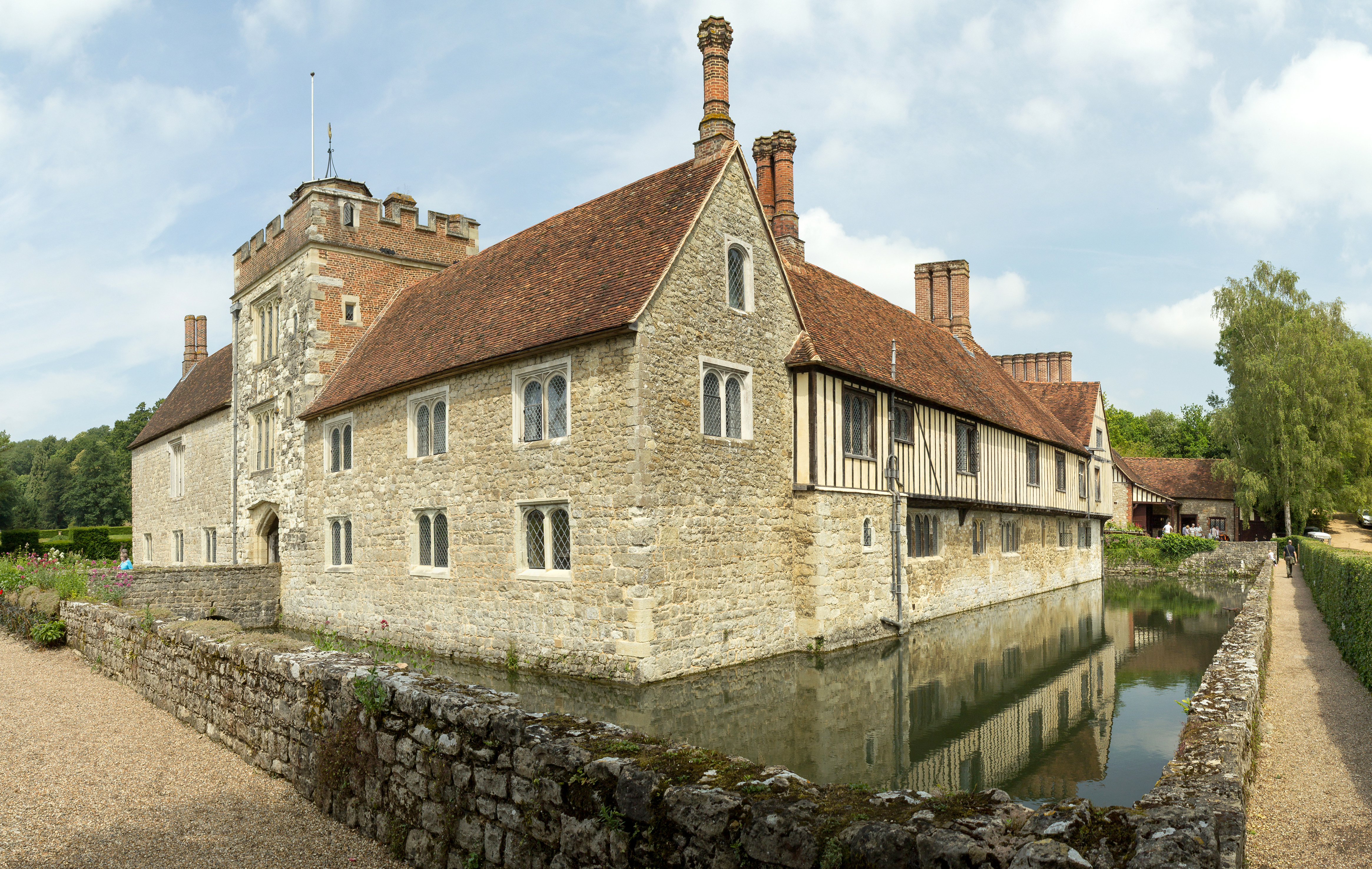
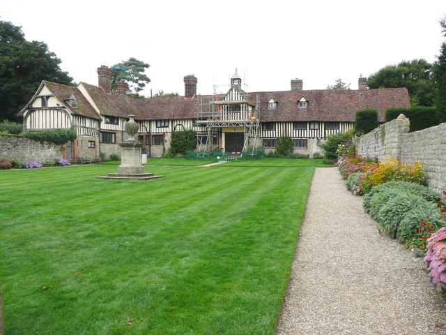
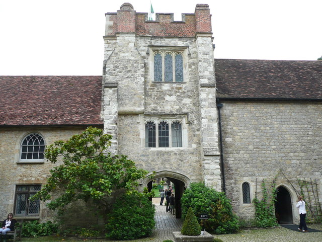
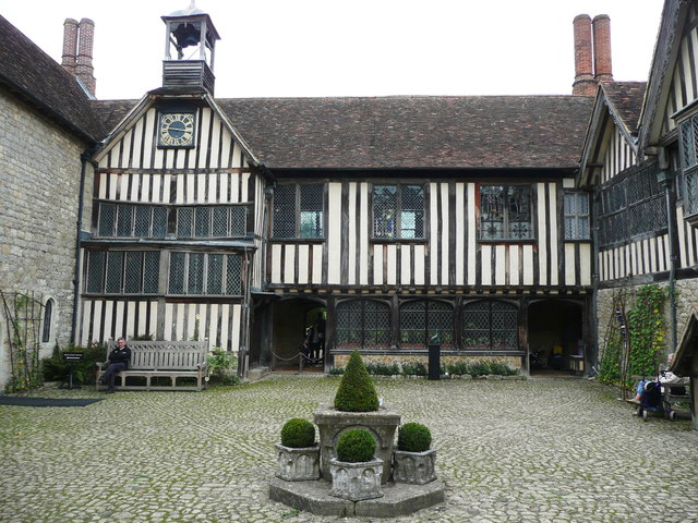
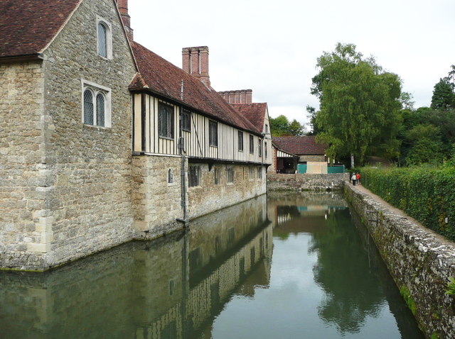
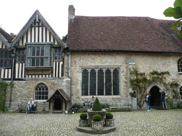
Ightham Mote
Ightham Mote (), at Ightham, is a medieval moated manor house in Kent, England. The architectural writer John Newman describes it as "the most complete...

One Tree Hill and Bitchet Common
One Tree Hill and Bitchet Common is a 79.2-hectare (196-acre) biological Site of Special Scientific Interest east of Sevenoaks in Kent. It is in Kent Downs...
Nearby Amenities
Located within 500m of 51.272249,0.26364524Have you been to Igtham Common?
Leave your review of Igtham Common below (or comments, questions and feedback).