Ightham

Settlement in Kent Tonbridge and Malling

England

Ightham

Borough Green Road, Ightham
Borough Green Road, Ightham Credit: Chris Whippet

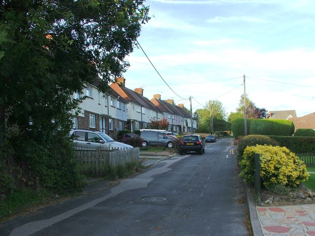
Ightham is a charming village located in the county of Kent, in southeastern England. Situated approximately 9 miles southwest of Maidstone, it is nestled in the picturesque Kent Downs, an Area of Outstanding Natural Beauty. With a population of around 1,500 residents, Ightham boasts a tranquil and idyllic setting, making it a popular destination for nature lovers and those seeking a peaceful retreat.

The village is renowned for its well-preserved medieval architecture, which includes the striking Ightham Mote, a 14th-century moated manor house. This National Trust property is a major attraction in the area, drawing visitors from far and wide to admire its beautiful gardens and historic interiors.

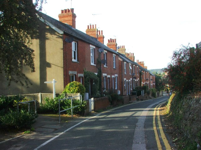
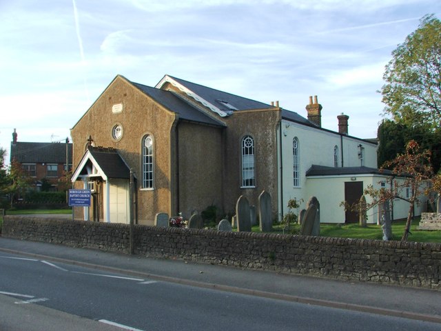
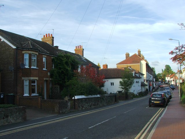
Ightham is also home to the 13th-century St. Peter's Church, a stunning example of Norman architecture. The church is known for its impressive stained glass windows and ancient yew tree, believed to be over a thousand years old. Additionally, the village features several other historic buildings, such as timber-framed cottages and the old village forge, adding to its quaint and charming character.

Surrounded by rolling countryside, Ightham offers plenty of opportunities for outdoor activities. The area is crisscrossed with footpaths and bridleways, making it a paradise for hikers, cyclists, and horse riders. Nearby attractions include the picturesque Oldbury Hill, an Iron Age hillfort offering panoramic views of the surrounding landscape.

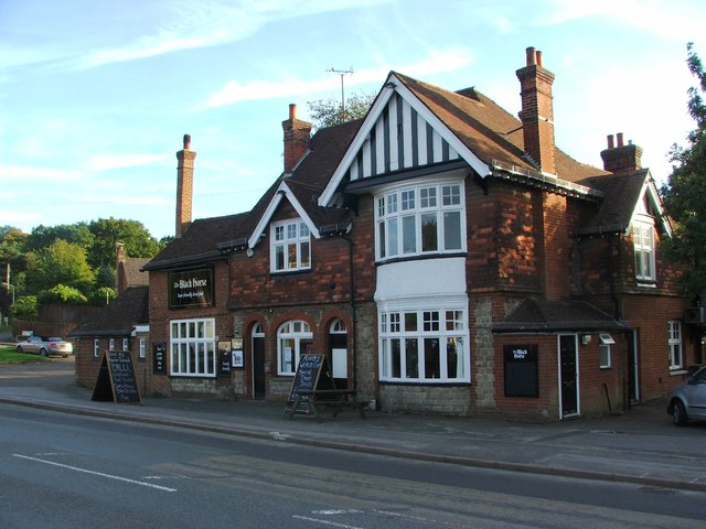
In terms of amenities, Ightham provides a range of services for its residents, including a primary school, village hall, and a local pub, where visitors can enjoy traditional pub food and ales. The village also hosts various community events throughout the year, fostering a strong sense of community spirit.

Overall, Ightham is a quintessential English village renowned for its rich history, stunning architecture, and beautiful natural surroundings.

If you have any feedback on the listing, please let us know in the comments section below.
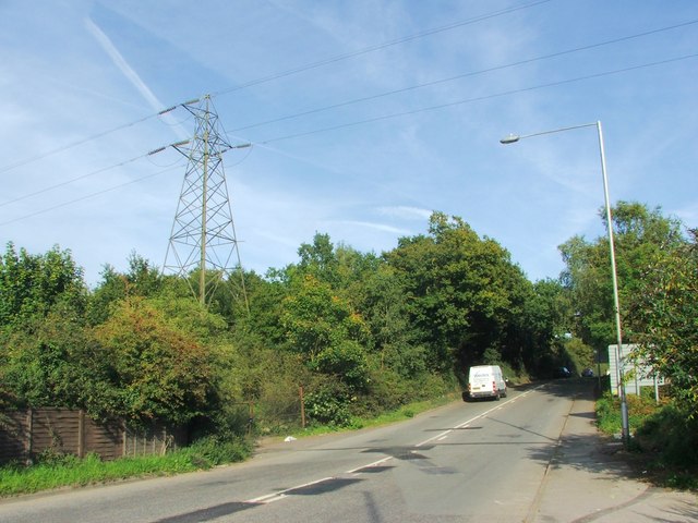
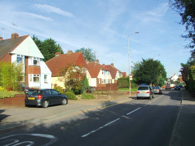
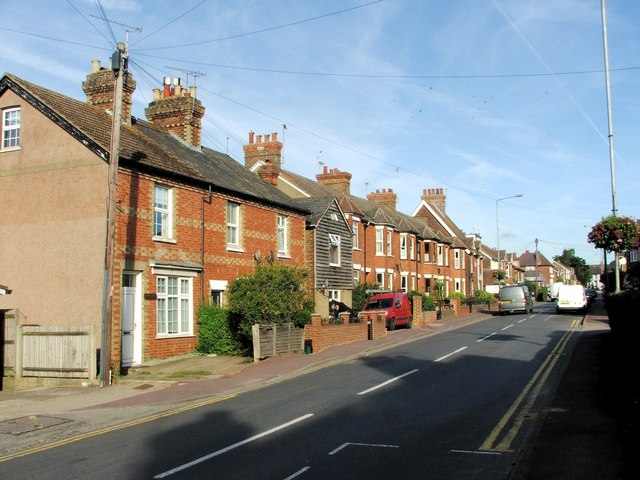
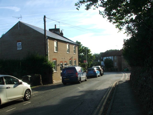
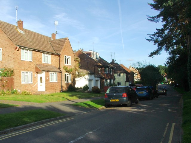
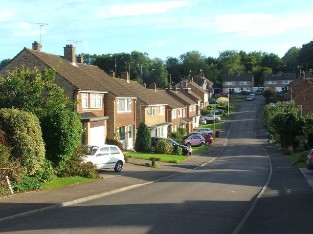
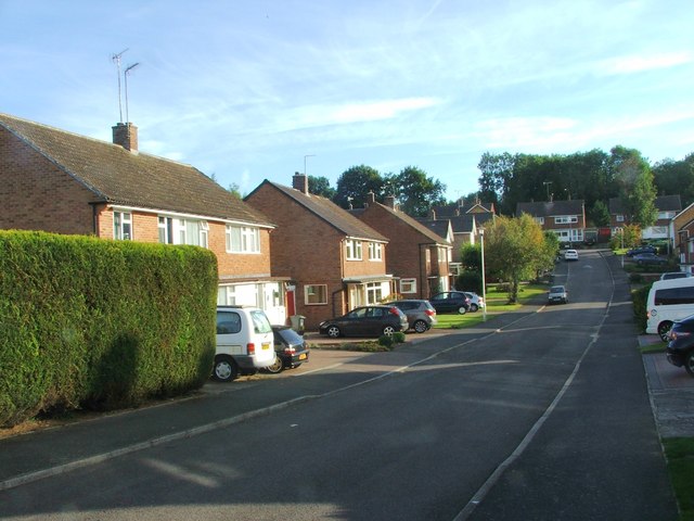
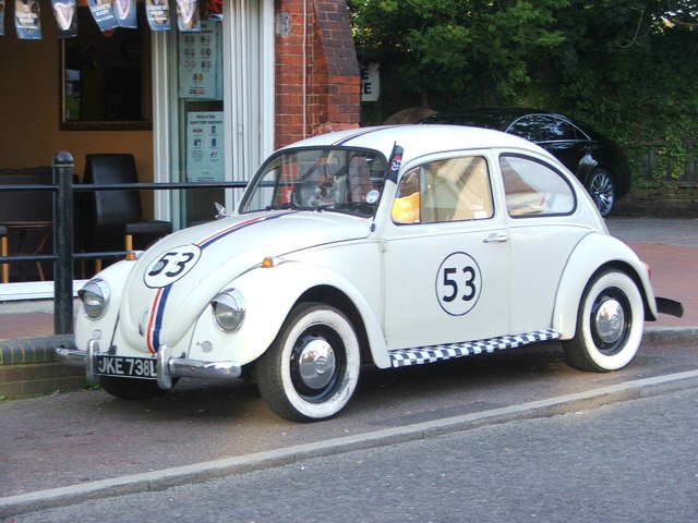
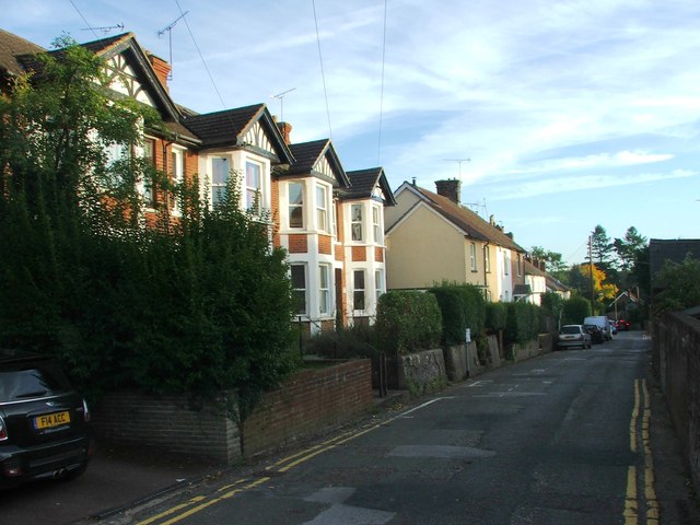
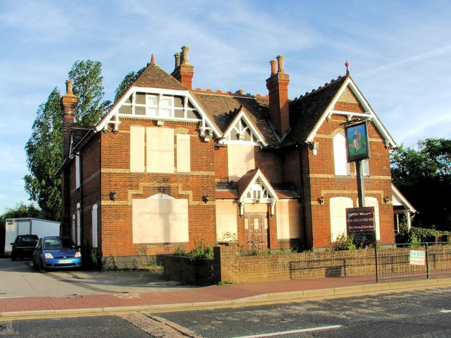
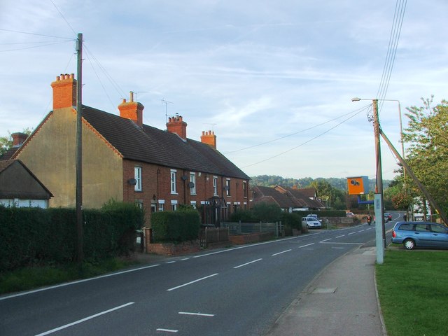
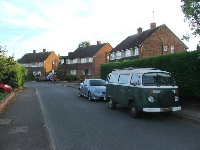
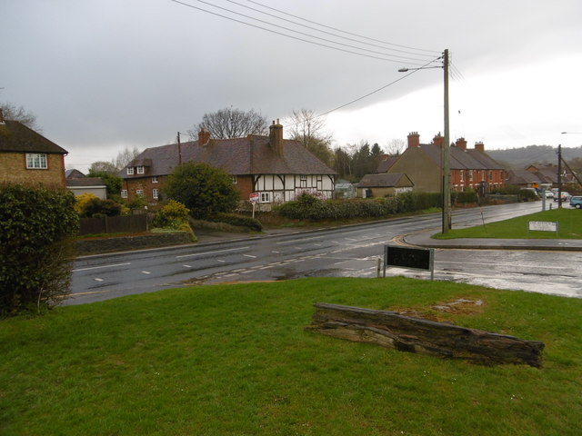
Ightham Images

Images are sourced within 2km of 51.287043/0.28656 or Grid Reference TQ5956. Thanks to Geograph Open Source API. All images are credited.

Borough Green Road, Ightham
Sevenoaks Road, Borough Green
Western Road, Borough Green
Quarry Hill Road, Borough Green
Rock Road, Borough Green
Harrison Road, Borough Green
Crowhurst Road, Borough Green
Lendon Road, Borough Green
The Black Horse, Borough Green
Hill View, Borough Green
Borough Green Baptist Church
High Street, Borough Green
Vintage 1973 Volkswagen Beetle, High Street, Borough Green
Station Road, Borough Green
Henry Simmonds, Borough Green
Wrotham Road, Borough Green
Wye Road, Borough Green
Wrotham Road, Borough Green This is the A227 Tonbridge to Gravesend road. For a close up of the house opposite see <a title="https://www.geograph.org.uk/photo/4898804" href="https://www.geograph.org.uk/photo/4898804">Link</a>
Wrotham Road, Borough Green
This is the A227 Tonbridge to Gravesend road. For a close up of the house opposite see Link
Show me another place!

Ightham is located at Grid Ref: TQ5956 (Lat: 51.287043, Lng: 0.28656)

Administrative County: Kent

District: Tonbridge and Malling

Police Authority: Kent

What 3 Words

///vote.pets.thinks. Near Borough Green, Kent

Nearby Locations

Ightham Chalklin's Shaw

Related Wikis

Ightham

Ightham ( EYE-təm) is a parish and village in Kent, England, located approximately four miles east of Sevenoaks and six miles north of Tonbridge. The...

The Old House, Ightham Common

The Old House is a Grade II listed public house at Redwell Lane, Ightham Common, Kent TN15 9EE.It is on the Campaign for Real Ale's National Inventory...

Oldbury rock shelters

The Oldbury rock shelters are a complex of Middle Palaeolithic sites situated on the slopes of Oldbury hillfort near Ightham in the English county of Kent...

Borough Green

Borough Green is situated in the borough of Tonbridge and Malling in Kent, England. The central area is situated on the A25 road between Maidstone and...

Borough Green & Wrotham railway station

Borough Green & Wrotham railway station is located in Borough Green in Kent, England. It is 29 miles 46 chains (47.6 km) down the line from London Victoria...

Basted, Kent

Basted is a hamlet in the Tonbridge and Malling district, in the county of Kent, England. == Nearby settlements == === Town === Sevenoaks === Villages... ===

Oldbury Camp

Oldbury Camp (also known as Oldbury hill fort) is the largest Iron Age hill fort in south-eastern England. It was built in the 1st century BC by Celtic...

Claygate Cross

Claygate Cross is a hamlet in the Tonbridge and Malling district, in the English county of Kent. == Location == It is near the River Bourne. Nearby settlements...

Nearby Amenities

Located within 500m of 51.287043,0.28656
Ightham
Place: village
Source: npe
Lat/Long: 51.2873368/0.2874115
Power: tower
Lat/Long: 51.2875132/0.2933941
Power: tower
Lat/Long: 51.2851928/0.2928845
Parking
Lat/Long: 51.2874097/0.2833013
Bus Stop
The George and Dragon
Local Ref: adj
Naptan AtcoCode: 240097571
Naptan Bearing: N
Naptan BusStopType: MKD
Naptan CommonName: The George and Dragon
Naptan Indicator: adj
Naptan Landmark: War Memorial
Naptan NaptanCode: kntjmjma
Naptan RevisionNumber: 4
Naptan Status: act
Naptan Street: The Street
Naptan Verified: no
Public Transport: platform
Ref: kntjmjma
Source: naptan_import
Source Date: 2018-06-05
Lat/Long: 51.2871599/0.2864675
Bus Stop
Walker Place
Local Ref: opp
Naptan AtcoCode: 240097749
Naptan Bearing: SW
Naptan BusStopType: MKD
Naptan CommonName: Walker Place
Naptan Indicator: opp
Naptan Landmark: Walker Place
Naptan NaptanCode: kntgpmtm
Naptan RevisionNumber: 4
Naptan Status: act
Naptan Street: Borough Green Road
Naptan Verified: no
Public Transport: platform
Ref: kntgpmtm
Source: naptan_import
Source Date: 2018-06-05
Lat/Long: 51.2886554/0.2895082
Bus Stop
Walker Place
Flag: no
Local Ref: adj
Naptan AtcoCode: 240097755
Naptan Bearing: NE
Naptan BusStopType: MKD
Naptan CommonName: Walker Place
Naptan Indicator: adj
Naptan Landmark: Walker Place
Naptan NaptanCode: kntgptap
Naptan RevisionNumber: 3
Naptan Status: act
Naptan Street: Borough Green Road
Naptan Verified: no
Public Transport: platform
Ref: kntgptap
Source: naptan_import
Source Date: 2018-06-05
Lat/Long: 51.2889343/0.2898825
Bus Stop
The George and Dragon
Bench: yes
Local Ref: opp
Naptan AtcoCode: 2400A005430A
Naptan Bearing: SW
Naptan BusStopType: MKD
Naptan CommonName: The George and Dragon
Naptan Indicator: opp
Naptan Landmark: Trycewell Lane
Naptan NaptanCode: kntagwjm
Naptan RevisionNumber: 4
Naptan Status: act
Naptan Street: The Street
Naptan Verified: no
Public Transport: platform
Ref: kntagwjm
Shelter: yes
Source: naptan_import
Source Date: 2018-06-05
Wheelchair: limited
Lat/Long: 51.2870477/0.2866339
Restaurant
The George and Dragon
Lat/Long: 51.2870984/0.2864081
Grit Bin
Lat/Long: 51.2858663/0.2811053
Grit Bin
Lat/Long: 51.2847145/0.2849136
Post Box
Collection Times: Mo-Fr 09:00; Sa 07:00; Su off
Colour: red
Ref: TN15 117
Royal Cypher: GR
Royal Cypher Wikidata: Q33102273
Lat/Long: 51.2861023/0.2843806
Post Box
Collection Times: Mo-Fr 17:15; Sa 10:00; Su off
Colour: red
Post Box Type: pillar
Ref: TN15 151
Royal Cypher: EIIR
Royal Cypher Wikidata: Q33102113
Lat/Long: 51.2892996/0.2866997
Post Box
Collection Times: Mo-Fr 09:00; Sa 07:00; Su off
Colour: red
Ref: TN15 116
Royal Cypher: EIIR
Royal Cypher Wikidata: Q33102113
Lat/Long: 51.288987/0.2902928
Grit Bin
Lat/Long: 51.2853103/0.2811358
Post Box
Collection Times: Mo-Fr 09:00; Sa 07:00; Su off
Colour: red
Ref: TN15 112
Royal Cypher: EIIR
Royal Cypher Wikidata: Q33102113
Lat/Long: 51.2833932/0.28412
Grit Bin
Lat/Long: 51.2880624/0.2866056
Generator Method: photovoltaic
Generator Output Electricity: yes
Generator Source: solar
Generator Type: solar_photovoltaic_panel
Location: roof
Power: generator
Lat/Long: 51.2837426/0.283708
Generator Method: photovoltaic
Generator Output Electricity: yes
Generator Source: solar
Generator Type: solar_photovoltaic_panel
Location: roof
Power: generator
Lat/Long: 51.2904945/0.2867831
The data included in this document is from www.openstreetmap.org. The data is made available under ODbL.

Have you been to Ightham?

Leave your review of Ightham below (or comments, questions and feedback).