Ightfield Heath

Settlement in Shropshire

England

Ightfield Heath

Calverhall towards Ightfield
Calverhall towards Ightfield Credit: Ian S

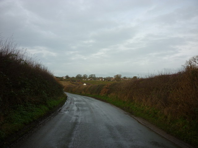
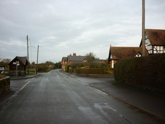
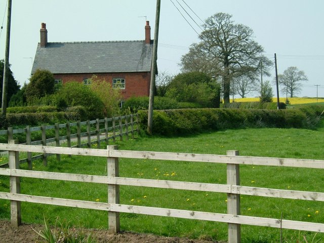
Ightfield Heath is a small village located in the county of Shropshire, England. Situated approximately 3 miles northeast of Whitchurch, the village is nestled in a picturesque rural setting, surrounded by rolling countryside and farmland.

The village is known for its peaceful and tranquil atmosphere, making it an ideal destination for those seeking a relaxing retreat or a taste of the English countryside. The area is rich in natural beauty, with charming landscapes and panoramic views that offer a sense of serenity.

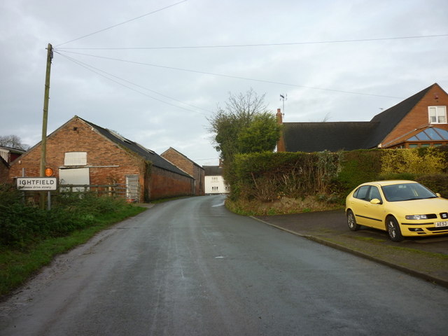
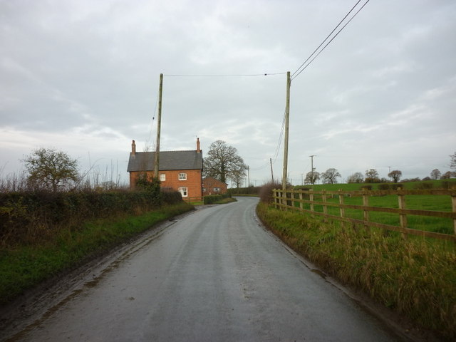
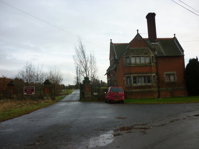
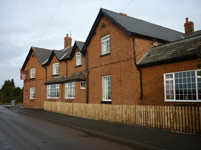
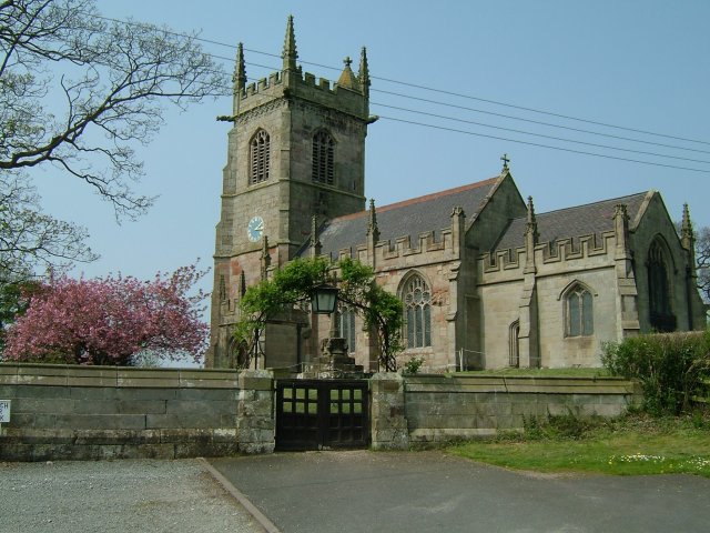
Ightfield Heath is a close-knit community with a small population, primarily consisting of residential properties. The village retains its traditional charm, with many of the houses showcasing beautiful architecture and characterful features. The village also benefits from a local pub, which serves as a social hub for residents and visitors alike.

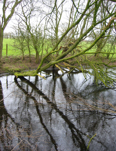
For those who enjoy outdoor activities, Ightfield Heath offers an abundance of opportunities. The surrounding countryside provides ample space for walking, cycling, and exploring the scenic landscapes. There are also several nature reserves and parks nearby, offering wildlife enthusiasts a chance to observe various species of birds and animals.

Although peaceful and secluded, Ightfield Heath is conveniently located near the town of Whitchurch, which provides access to essential amenities such as shops, supermarkets, schools, and healthcare facilities. The village is well-connected to the wider region, with good road links to nearby towns and cities, making it an ideal base for exploring the surrounding areas of Shropshire.

Overall, Ightfield Heath offers a tranquil and idyllic setting, making it a desirable location for those seeking a peaceful retreat in the heart of the English countryside.

If you have any feedback on the listing, please let us know in the comments section below.

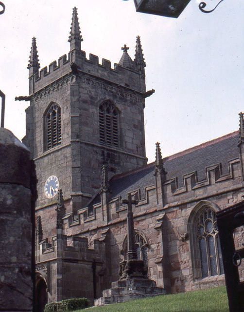
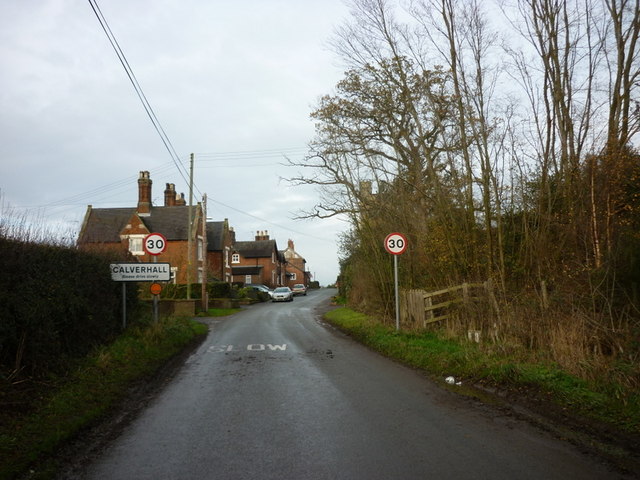
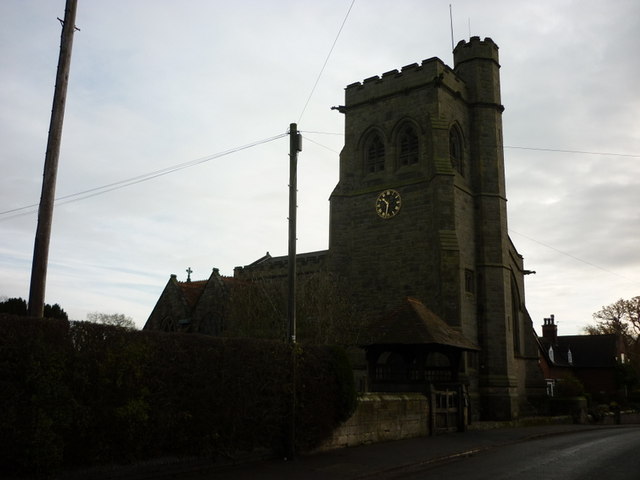
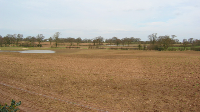
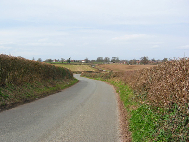
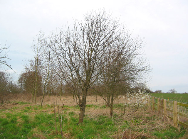
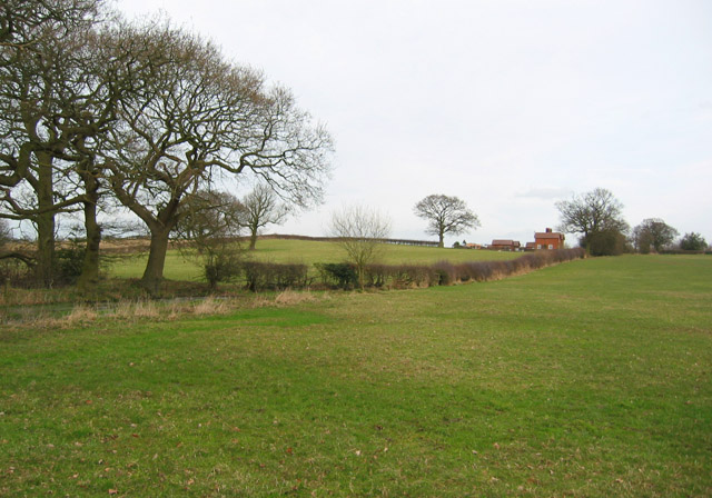
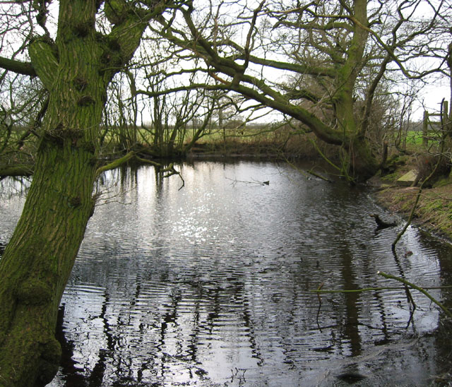
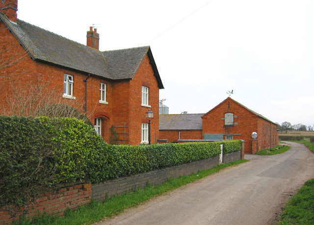
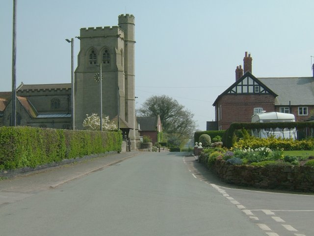
Ightfield Heath Images

Images are sourced within 2km of 52.928831/-2.6113626 or Grid Reference SJ5937. Thanks to Geograph Open Source API. All images are credited.

Calverhall towards Ightfield
Entering Ightfield
Entering Ightfield
New House Farm near Ightfield
Ightfield: the church from the churchyard gate
Entering Calverhall
Entering Calverhall
The  Lodge at Cloverley Hall
The Lodge at Cloverley Hall
The Church at Calverhall
The Olde Jack public house, Calverhall
Bletchley Road, Calverhall
Fenced in. Small holding
Fenced in.
Small holding
Ightfield Church Heaven in the Countryside.
Ightfield Church
Heaven in the Countryside.
Mere surrounded by trees This small mere, surrounded by deciduous trees, lies in the middle of sheep pasture. It is crossed by the footpath between Calverhall Road & Ightfield Heath via a plank bridge (see <a href="https://www.geograph.org.uk/photo/361673">SJ5937 : Mere and footbridge</a>)
Mere surrounded by trees
This small mere, surrounded by deciduous trees, lies in the middle of sheep pasture. It is crossed by the footpath between Calverhall Road & Ightfield Heath via a plank bridge (see SJ5937 : Mere and footbridge)
Ploughed field near Corra Bank One of the few arable fields in an area largely given to sheep pasture. Two of the several small meres in this area are visible. View from Calverhall Road immediately north of Corra Bank
Ploughed field near Corra Bank
One of the few arable fields in an area largely given to sheep pasture. Two of the several small meres in this area are visible. View from Calverhall Road immediately north of Corra Bank
View towards Ightfield on Calverhall Road Calverhall Road is a winding single-track lane between the adjacent villages of Ightfield & Calverhall. View towards Ightfield from the high point of the lane just north of Corra Bank
View towards Ightfield on Calverhall Road
Calverhall Road is a winding single-track lane between the adjacent villages of Ightfield & Calverhall. View towards Ightfield from the high point of the lane just north of Corra Bank
Young wood by Calverhall Road A small fenced area of recently planted loose deciduous woodland lies north of Calverhall Road, containing oak, hazel and other trees
Young wood by Calverhall Road
A small fenced area of recently planted loose deciduous woodland lies north of Calverhall Road, containing oak, hazel and other trees
Sheep pasture south of Corra Bank This view of undulating sheep pasture with hedgerows and occasional mature deciduous trees is typical of the area south of Calverhall Road. The farm (right) is Corra Bank, which stands near the top of a local high point at around 110m. View from the public footpath between Calverhall Road and Ightfield Heath, near <a href="https://www.geograph.org.uk/photo/361535">SJ5937 : Mere surrounded by trees</a>
Sheep pasture south of Corra Bank
This view of undulating sheep pasture with hedgerows and occasional mature deciduous trees is typical of the area south of Calverhall Road. The farm (right) is Corra Bank, which stands near the top of a local high point at around 110m. View from the public footpath between Calverhall Road and Ightfield Heath, near SJ5937 : Mere surrounded by trees
Mere and footbridge This small mere, surrounded by deciduous trees, lies in the middle of sheep pasture. It is crossed by the footpath between Calverhall Road & Ightfield Heath via a plank footbridge (right). Another view is shown in <a href="https://www.geograph.org.uk/photo/361535">SJ5937 : Mere surrounded by trees</a>
Mere and footbridge
This small mere, surrounded by deciduous trees, lies in the middle of sheep pasture. It is crossed by the footpath between Calverhall Road & Ightfield Heath via a plank footbridge (right). Another view is shown in SJ5937 : Mere surrounded by trees
Maltkiln Farm, near Ightfield Heath A typical red-brick farmhouse and barn, situated on the minor single-track lane through Ightfield Heath, between Ightfield Heath & Ightfield
Maltkiln Farm, near Ightfield Heath
A typical red-brick farmhouse and barn, situated on the minor single-track lane through Ightfield Heath, between Ightfield Heath & Ightfield
Show me another place!

Ightfield Heath is located at Grid Ref: SJ5937 (Lat: 52.928831, Lng: -2.6113626)

Unitary Authority: Shropshire

Police Authority: West Mercia

What 3 Words

///country.lizards.upwardly. Near Ash, Shropshire

Nearby Locations

Ightfield Heath

Related Wikis

Calverhall

Calverhall is a small village in Shropshire, approximately 5 miles away from the town of Whitchurch. It lies within the civil parish of its neighbouring...

Ightfield

Ightfield is a small village and civil parish in Shropshire, England. The population of the parish at the 2011 census was 529.Within the civil parish boundaries...

Whitchurch (Tilstock) Airfield

Whitfield (Tilstock) Airfield is an airfield located in Shropshire, England, close to the village of Prees and 2 miles (3.2 km) east of the village of...

Whitchurch Rural District, Shropshire

Whitchurch was a rural district in Shropshire, England, from 1894 to 1934. It was formed under the Local Government Act 1894 based on part of the Whitchurch...

Nearby Amenities

Located within 500m of 52.928831,-2.6113626
Roman Agger
Historic: archaeological_site
Historic Civilization: ancient_roman
Lat/Long: 52.9244445/-2.6124633
The data included in this document is from www.openstreetmap.org. The data is made available under ODbL.

Have you been to Ightfield Heath?

Leave your review of Ightfield Heath below (or comments, questions and feedback).