Ightfield

Settlement in Shropshire

England

Ightfield

Calverhall towards Ightfield
Calverhall towards Ightfield Credit: Ian S

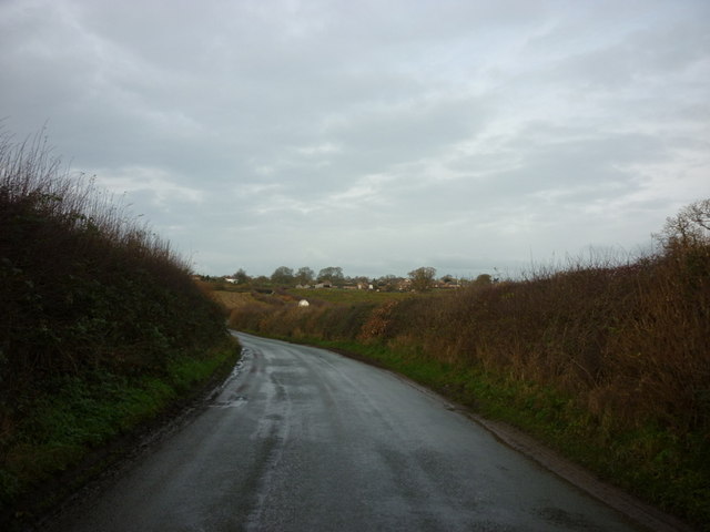
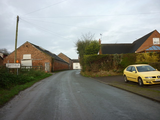
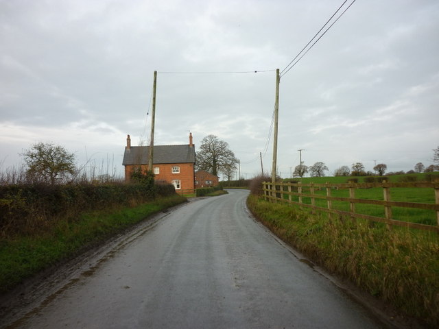
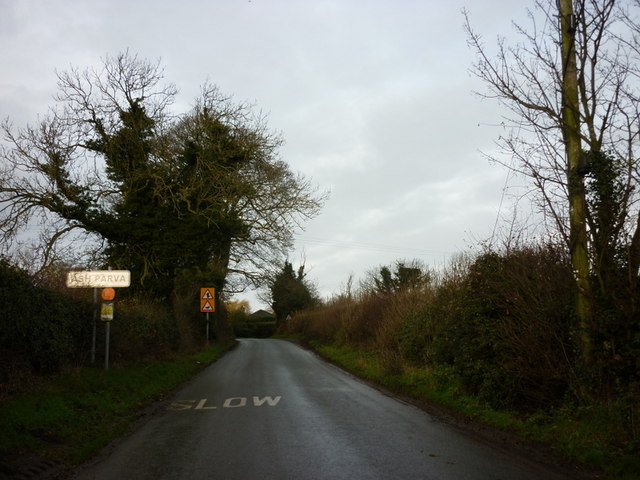
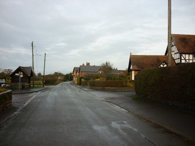
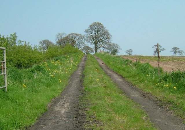
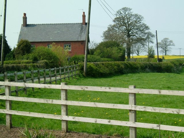
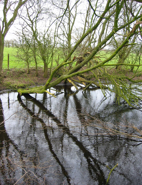
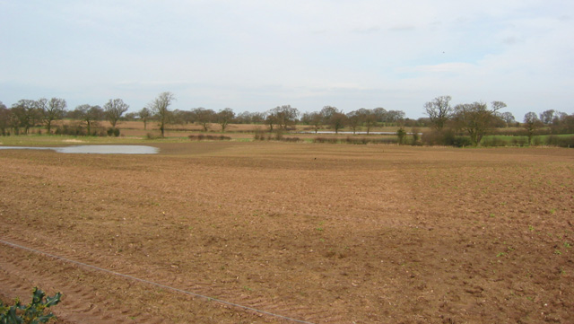
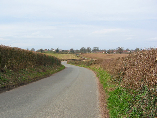
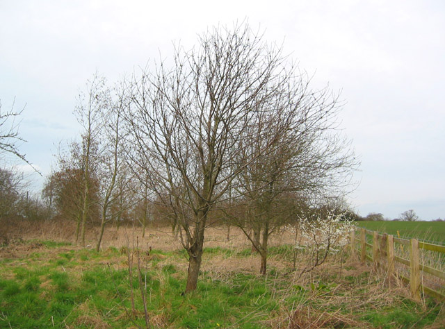
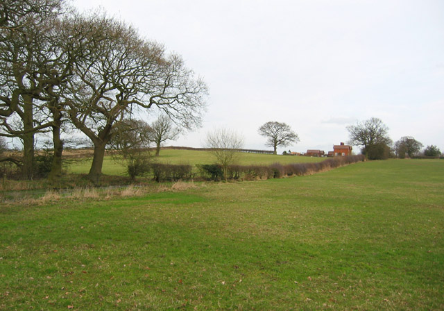
Ightfield is a small village located in the county of Shropshire, England. Situated near the border with Wales, Ightfield is surrounded by picturesque countryside and rolling hills, making it a popular destination for outdoor enthusiasts and nature lovers.

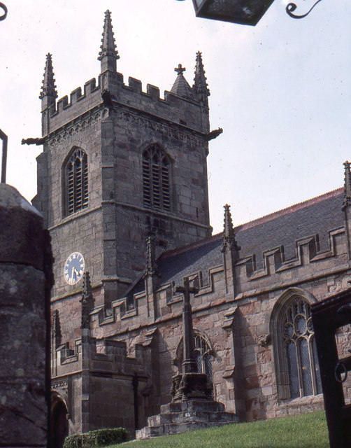
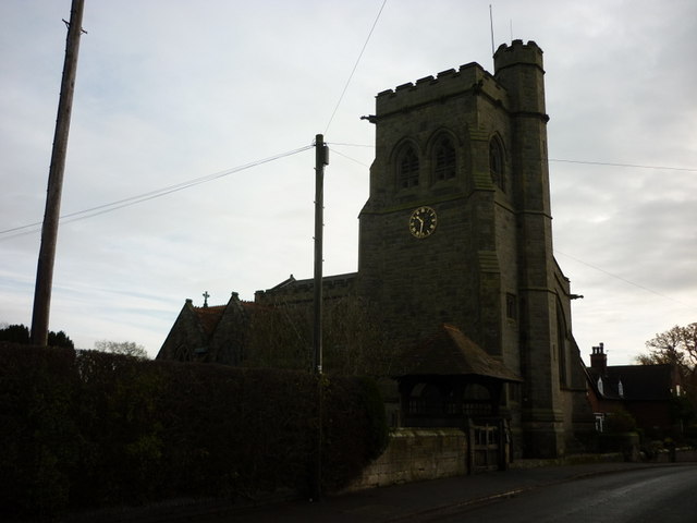
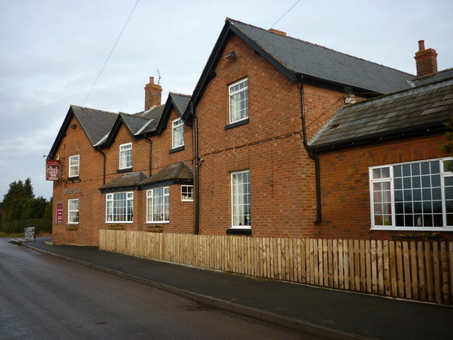
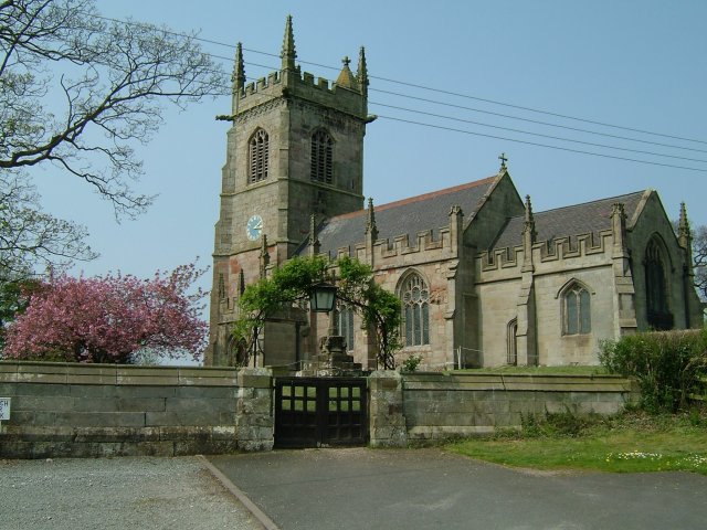
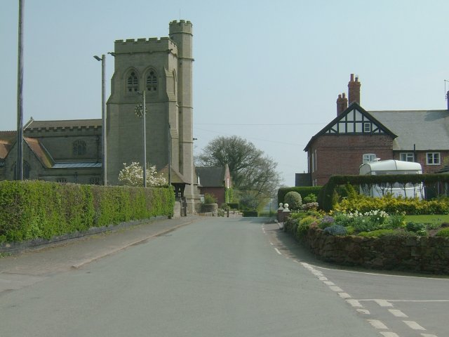
The village itself is home to a mix of traditional stone cottages, farmhouses, and more modern residential properties. The community is tight-knit and friendly, with a strong sense of community spirit. The village has a primary school, a church, and a village hall, which hosts various events and activities throughout the year.

Ightfield is well-connected to the nearby towns of Whitchurch and Wem, both of which offer a range of amenities including shops, restaurants, and leisure facilities. The village is also within easy reach of the larger cities of Shrewsbury and Chester, making it an ideal location for those looking to enjoy the tranquility of rural life while still having access to urban conveniences.

Overall, Ightfield is a charming and peaceful village, perfect for those seeking a quiet and idyllic countryside retreat.

If you have any feedback on the listing, please let us know in the comments section below.

Ightfield Images

Images are sourced within 2km of 52.941752/-2.60545 or Grid Reference SJ5938. Thanks to Geograph Open Source API. All images are credited.

Calverhall towards Ightfield
Entering Ightfield
Entering Ightfield
New House Farm near Ightfield
Entering Ash Parva
Entering Ash Parva
Ightfield: the church from the churchyard gate
Entering Calverhall
Entering Calverhall
The  Lodge at Cloverley Hall
The Lodge at Cloverley Hall
The Church at Calverhall
The Olde Jack public house, Calverhall
Bletchley Road, Calverhall
Farm Track Delightful track in pleasant setting.
Farm Track
Delightful track in pleasant setting.
Fenced in. Small holding
Fenced in.
Small holding
Ightfield Church Heaven in the Countryside.
Ightfield Church
Heaven in the Countryside.
Mere surrounded by trees This small mere, surrounded by deciduous trees, lies in the middle of sheep pasture. It is crossed by the footpath between Calverhall Road & Ightfield Heath via a plank bridge (see <a href="https://www.geograph.org.uk/photo/361673">SJ5937 : Mere and footbridge</a>)
Mere surrounded by trees
This small mere, surrounded by deciduous trees, lies in the middle of sheep pasture. It is crossed by the footpath between Calverhall Road & Ightfield Heath via a plank bridge (see SJ5937 : Mere and footbridge)
Ploughed field near Corra Bank One of the few arable fields in an area largely given to sheep pasture. Two of the several small meres in this area are visible. View from Calverhall Road immediately north of Corra Bank
Ploughed field near Corra Bank
One of the few arable fields in an area largely given to sheep pasture. Two of the several small meres in this area are visible. View from Calverhall Road immediately north of Corra Bank
View towards Ightfield on Calverhall Road Calverhall Road is a winding single-track lane between the adjacent villages of Ightfield & Calverhall. View towards Ightfield from the high point of the lane just north of Corra Bank
View towards Ightfield on Calverhall Road
Calverhall Road is a winding single-track lane between the adjacent villages of Ightfield & Calverhall. View towards Ightfield from the high point of the lane just north of Corra Bank
Young wood by Calverhall Road A small fenced area of recently planted loose deciduous woodland lies north of Calverhall Road, containing oak, hazel and other trees
Young wood by Calverhall Road
A small fenced area of recently planted loose deciduous woodland lies north of Calverhall Road, containing oak, hazel and other trees
Sheep pasture south of Corra Bank This view of undulating sheep pasture with hedgerows and occasional mature deciduous trees is typical of the area south of Calverhall Road. The farm (right) is Corra Bank, which stands near the top of a local high point at around 110m. View from the public footpath between Calverhall Road and Ightfield Heath, near <a href="https://www.geograph.org.uk/photo/361535">SJ5937 : Mere surrounded by trees</a>
Sheep pasture south of Corra Bank
This view of undulating sheep pasture with hedgerows and occasional mature deciduous trees is typical of the area south of Calverhall Road. The farm (right) is Corra Bank, which stands near the top of a local high point at around 110m. View from the public footpath between Calverhall Road and Ightfield Heath, near SJ5937 : Mere surrounded by trees
Show me another place!

Ightfield is located at Grid Ref: SJ5938 (Lat: 52.941752, Lng: -2.60545)

Unitary Authority: Shropshire

Police Authority: West Mercia

What 3 Words

///empire.corrosive.grid. Near Ash, Shropshire

Nearby Locations

Ightfield

Related Wikis

Ightfield

Ightfield is a small village and civil parish in Shropshire, England. The population of the parish at the 2011 census was 529.Within the civil parish boundaries...
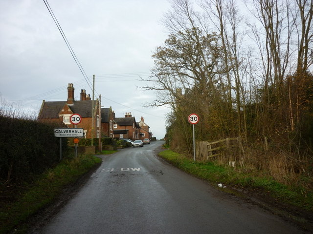
Calverhall

Calverhall is a small village in Shropshire, approximately 5 miles away from the town of Whitchurch. It lies within the civil parish of its neighbouring...

Whitchurch Rural District, Shropshire

Whitchurch was a rural district in Shropshire, England, from 1894 to 1934. It was formed under the Local Government Act 1894 based on part of the Whitchurch...

Whitchurch Rural

Whitchurch Rural is a civil parish in Shropshire, England. It covers the area (that is in Shropshire) to the south and southeast of the town of Whitchurch...

Nearby Amenities

Located within 500m of 52.941752,-2.60545
Ightfield
Place: village
Wikidata: Q3811344
Lat/Long: 52.942424/-2.6066573
Historic: memorial
Memorial: war_memorial
Lat/Long: 52.9414518/-2.6057924
Shelter
Shelter Type: public_transport
Lat/Long: 52.9415388/-2.6057243
Telephone
Defibrillator
Access: yes
Booth: K6
Colour: red
Covered: booth
Defibrillator Location: inside red phone box next to bus shelter and war memorial on Burlydam Road, Ightfield
Emergency: defibrillator
Man Made: telephone_box
Lat/Long: 52.9415614/-2.6057317
Post Box
Drive Through: no
Operator: Royal Mail
Operator Wikidata: Q638098
Post Box Mounting: brick_pillar
Post Box Type: wall
Lat/Long: 52.9415513/-2.6059949
Leisure: playground
Lat/Long: 52.9413266/-2.6066574
The data included in this document is from www.openstreetmap.org. The data is made available under ODbL.

Have you been to Ightfield?

Leave your review of Ightfield below (or comments, questions and feedback).