Ifton Hill

Settlement in Monmouthshire

Wales

Ifton Hill

Ordnance Survey Flush Bracket S1355 This can be found on the wall of a building beside the A48 in Crick.
For more detail see : <span class="nowrap"><a title="http://www.bench-marks.org.uk/bm15774" rel="nofollow ugc noopener" href="http://www.bench-marks.org.uk/bm15774">Link</a><img style="margin-left:2px;" alt="External link" title="External link - shift click to open in new window" src="https://s1.geograph.org.uk/img/external.png" width="10" height="10"/></span>
Ordnance Survey Flush Bracket S1355 Credit: Peter Wood

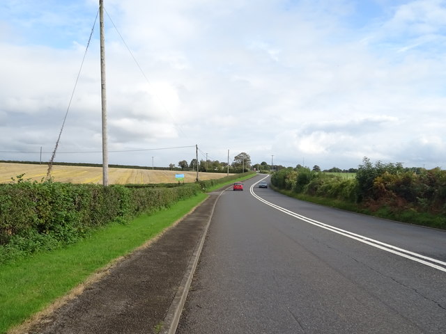
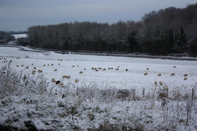
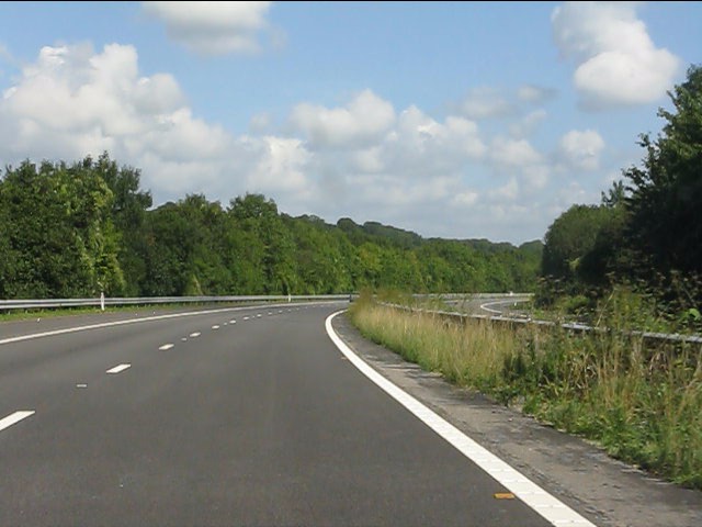
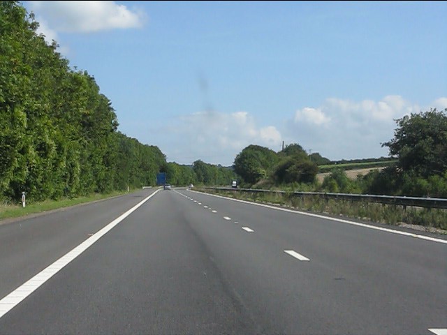
Ifton Hill is a small village located in Monmouthshire, Wales. Situated near the border with England, the village is known for its picturesque countryside and charming rural atmosphere. The village is surrounded by rolling hills and lush green fields, making it an ideal destination for those seeking a peaceful retreat away from the hustle and bustle of city life.

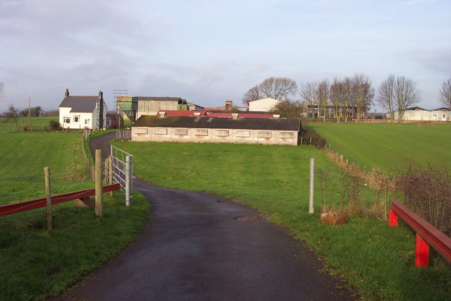
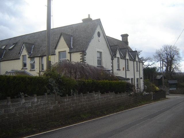
Ifton Hill is home to a close-knit community of residents who take pride in their village and its heritage. The village has a rich history dating back centuries, and many of its buildings still retain their original charm and character. Visitors to Ifton Hill can explore the local shops, cafes, and pubs, where they can sample traditional Welsh cuisine and interact with friendly locals.

Outdoor enthusiasts will appreciate the numerous walking and cycling trails that wind through the beautiful countryside surrounding Ifton Hill. The village is also within easy reach of popular tourist attractions such as the Brecon Beacons National Park and the historic town of Monmouth. Overall, Ifton Hill offers a tranquil and idyllic setting for those looking to experience the natural beauty and charm of rural Wales.

If you have any feedback on the listing, please let us know in the comments section below.
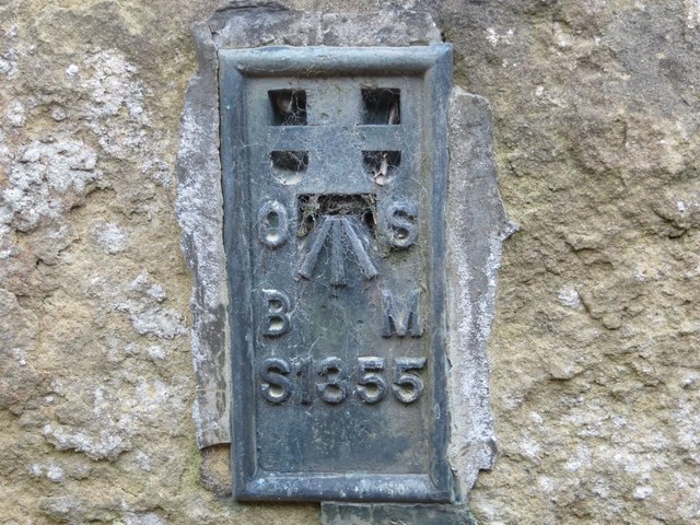
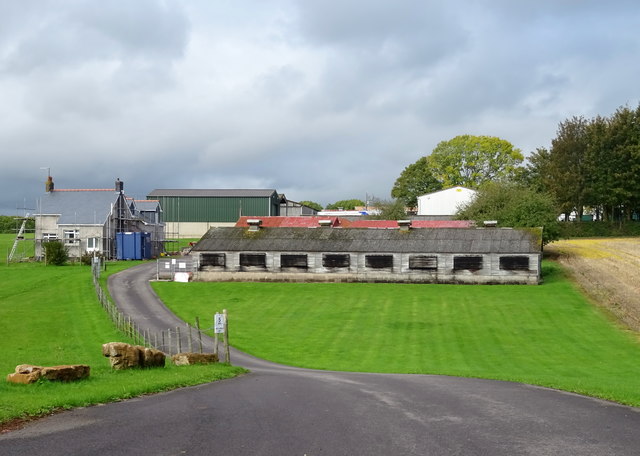
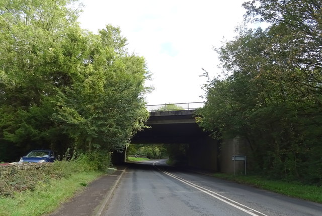
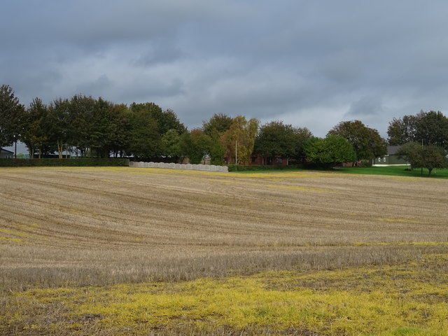
Ifton Hill Images

Images are sourced within 2km of 51.605471/-2.709833 or Grid Reference ST5089. Thanks to Geograph Open Source API. All images are credited.

Ordnance Survey Flush Bracket S1355 This can be found on the wall of a building beside the A48 in Crick.
For more detail see : <span class="nowrap"><a title="http://www.bench-marks.org.uk/bm15774" rel="nofollow ugc noopener" href="http://www.bench-marks.org.uk/bm15774">Link</a><img style="margin-left:2px;" alt="External link" title="External link - shift click to open in new window" src="https://s1.geograph.org.uk/img/external.png" width="10" height="10"/></span>
Ordnance Survey Flush Bracket S1355
This can be found on the wall of a building beside the A48 in Crick. For more detail see : LinkExternal link
Poultry Farm, Bentley Green
M48 motorway bridge over the A48
Stubble field, Bentley Green
A48 towards Chepstow
Hawthorn Farm
Hawthorn Farm
Mount Ballan House One of two imposing buildings in this hamlet, this is now a recreation centre.
Mount Ballan House
One of two imposing buildings in this hamlet, this is now a recreation centre.
Hayesgate Lane from Crick Road
M48 Motorway - tight curve north of the A48 bridge
M48 Motorway - a straight section near Broadwell
Private house This is a private residence please respect the owners privacy.
Private house
This is a private residence please respect the owners privacy.
Portskewett war memorial from the road Located at the corner of St Mary's grounds and at the crossroads. This side is the only one that lists the names of both world wars.
Portskewett war memorial from the road
Located at the corner of St Mary's grounds and at the crossroads. This side is the only one that lists the names of both world wars.
'Greater love hath no man than this...' '...that a man lay down his life for his friends.'
'Greater love hath no man than this...'
'...that a man lay down his life for his friends.'
Field gate set back from Crick Road, Monmouthshire Opposite the entrance to the David Broome Event Centre. <a title="https://www.geograph.org.uk/photo/7572354" href="https://www.geograph.org.uk/photo/7572354">Link</a>
Field gate set back from Crick Road, Monmouthshire
Opposite the entrance to the David Broome Event Centre. Link
White entrance gates opposite Crick Road, Monmouthshire At the entrance to the David Broome Event Centre.
White entrance gates opposite Crick Road, Monmouthshire
At the entrance to the David Broome Event Centre.
The David Broome Event Centre information board, Monmouthshire In August 2023 text on the board facing Crick Road includes
THE PAVILION - Weddings, Private functions & Corporate Hospitality
THE SHOWGROUND - Available for event hire
NEXT EVENT OPEN TO THE PUBLIC
The David Broome Event Centre information board, Monmouthshire
In August 2023 text on the board facing Crick Road includes THE PAVILION - Weddings, Private functions & Corporate Hospitality THE SHOWGROUND - Available for event hire NEXT EVENT OPEN TO THE PUBLIC
NNW along Crick Road in rural Monmouthshire Ahead for the A48.
NNW along Crick Road in rural Monmouthshire
Ahead for the A48.
Grade II Listed Mount Ballan Manor, Monmouthshire Viewed across Crick Road in August 2023. Grade II Listed in 2000 (as Mount Ballan House) for its architectural interest as a well-preserved Tudor Revival villa of 1837 and for its historic interest as the home of Thomas Walker, engineer and contractor, while he was building the Severn Tunnel and subsequently.
Grade II Listed Mount Ballan Manor, Monmouthshire
Viewed across Crick Road in August 2023. Grade II Listed in 2000 (as Mount Ballan House) for its architectural interest as a well-preserved Tudor Revival villa of 1837 and for its historic interest as the home of Thomas Walker, engineer and contractor, while he was building the Severn Tunnel and subsequently.
Show me another place!

Ifton Hill is located at Grid Ref: ST5089 (Lat: 51.605471, Lng: -2.709833)

Unitary Authority: Monmouthshire

Police Authority: Gwent

What 3 Words

///machine.airbrush.pushing. Near Caldicot, Monmouthshire

Related Wikis

St Pierre, Monmouthshire

St Pierre is a former parish and hamlet in Monmouthshire, south east Wales, 3 miles (4.8 km) south west of Chepstow and adjacent to the Severn Estuary...

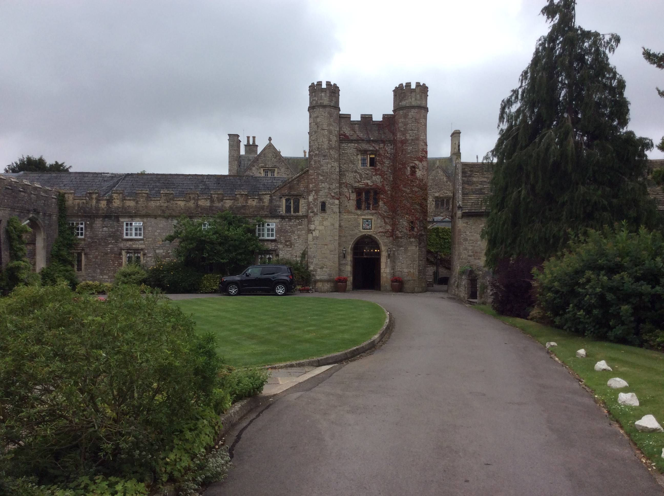
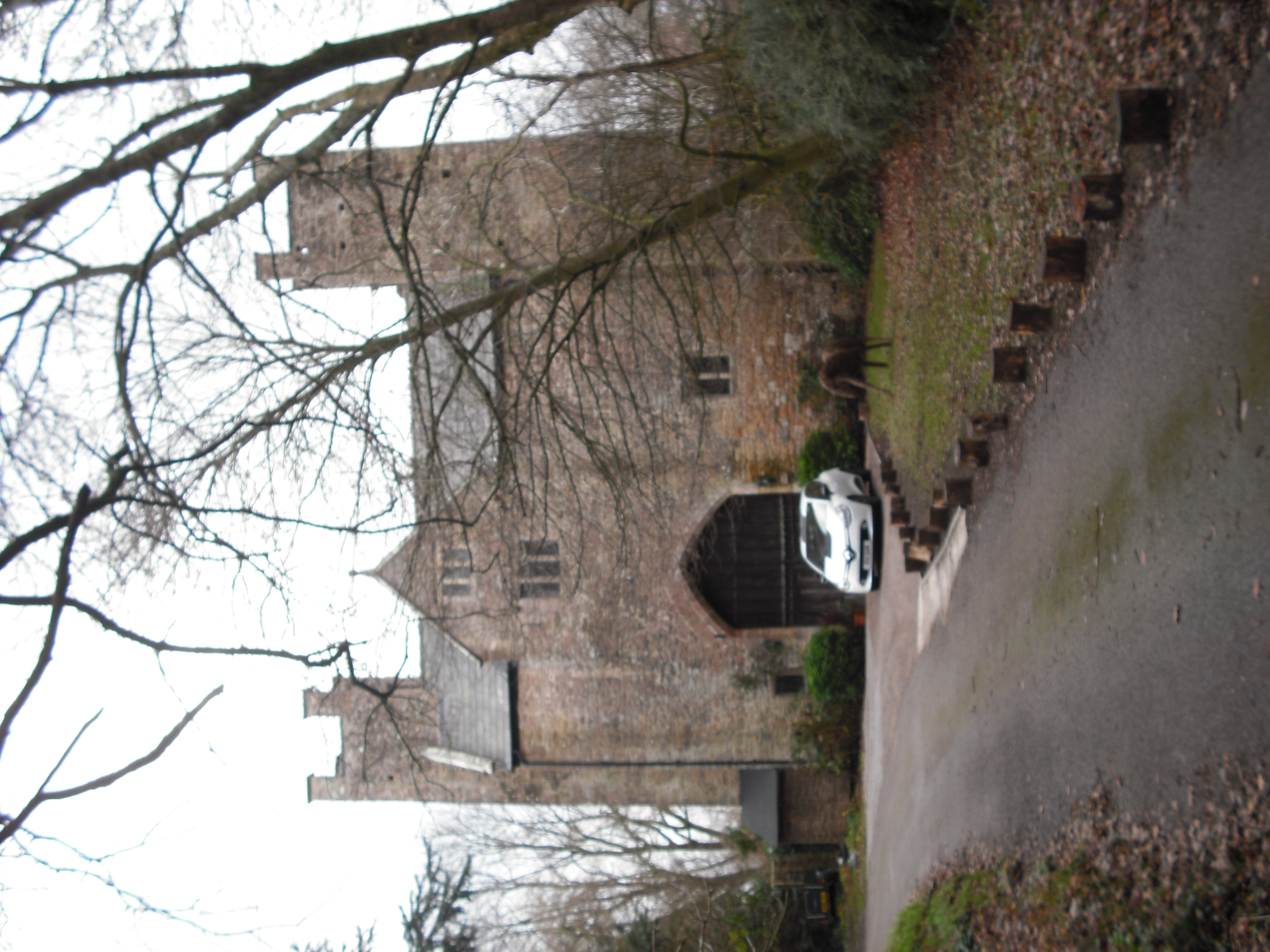
St Pierre Hotel Gatehouse

The Gatehouse and attached range, at the St Pierre Hotel, St Pierre, Mathern, Monmouthshire are the most significant remains of the mansion built by the...

Moynes Court

Moynes Court is a Grade II* listed building in the village of Mathern, Monmouthshire, Wales, about 3 miles (4.8 km) south west of Chepstow. An earlier...

Mathern Palace

Mathern Palace is a Grade I listed building in the village of Mathern, Monmouthshire, Wales, located some 3 miles (4.8 km) south-west of Chepstow close...

Nearby Amenities

Located within 500m of 51.605471,-2.709833
Power: pole
Lat/Long: 51.6030134/-2.7102369
Power: pole
Lat/Long: 51.6012618/-2.7105593
Material: wood
Power: pole
Lat/Long: 51.6065634/-2.7161542
Power: pole
Lat/Long: 51.6055496/-2.7115422
Power: pole
Lat/Long: 51.6041011/-2.7128478
Power: pole
Lat/Long: 51.6047506/-2.7109995
Power: pole
Lat/Long: 51.6019757/-2.7100373
Power: pole
Lat/Long: 51.6040854/-2.7108365
Material: wood
Power: pole
Lat/Long: 51.6052558/-2.714382
Power: pole
Lat/Long: 51.6025456/-2.7100926
Power: pole
Lat/Long: 51.6019584/-2.7101614
Power: pole
Lat/Long: 51.6034891/-2.710495
Power: pole
Lat/Long: 51.6029664/-2.7113399
Direction: S
Generator Method: photovoltaic
Generator Output Electricity: yes
Generator Solar Modules: 14
Generator Source: solar
Generator Type: solar_photovoltaic_panel
Location: roof
Power: generator
Lat/Long: 51.6050043/-2.7082083
Direction: 215
Generator Method: photovoltaic
Generator Output Electricity: yes
Generator Solar Modules: 10
Generator Source: solar
Generator Type: solar_photovoltaic_panel
Location: roof
Power: generator
Lat/Long: 51.6083481/-2.7144767
Bus Stop
Ifton Hill Caravan Park (opposite)
Bus: yes
Naptan AtcoCode: 5330AWB32104
Network: Newport Bus
Operator: Monmouthshire County Council
Public Transport: platform
Ref: gwegjpd
Lat/Long: 51.6070325/-2.7116072
Bus Stop
Ifton Hill Caravan Park (outside)
Bus: yes
Naptan AtcoCode: 5330AWB32103
Network: Newport Bus
Operator: Monmouthshire County Council
Public Transport: platform
Ref: gwegjpa
Lat/Long: 51.6073782/-2.7115783
Bus Stop
Merryhall Barn (N-bound)
Bus: yes
Naptan AtcoCode: 5330AWB32105
Network: Newport Bus
Operator: Monmouthshire County Council
Public Transport: platform
Ref: gwegjpg
Lat/Long: 51.6035236/-2.7099183
Bus Stop
Merryhall Barn (S-bound)
Bus: yes
Naptan AtcoCode: 5330AWB32106
Network: Newport Bus
Operator: Monmouthshire County Council
Public Transport: platform
Ref: gwegjpj
Lat/Long: 51.603244/-2.7095847
The data included in this document is from www.openstreetmap.org. The data is made available under ODbL.

Have you been to Ifton Hill?

Leave your review of Ifton Hill below (or comments, questions and feedback).