Chalklin's Shaw
Wood, Forest in Kent Tonbridge and Malling
England
Chalklin's Shaw
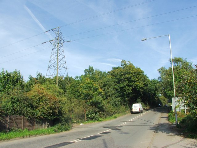
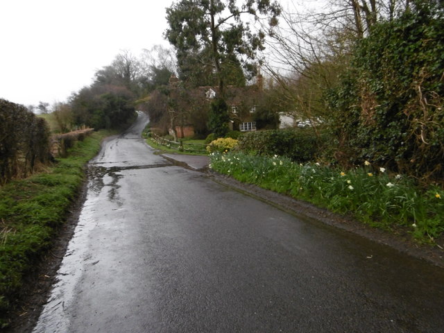
Chalklin's Shaw is a wooded area located in the village of Kent, England. Situated in the southeastern part of the county, it is known for its lush forest and natural beauty. Covering an approximate area of 200 acres, Chalklin's Shaw is a popular destination for nature enthusiasts and hikers.
The woodland is characterized by a diverse range of trees, including oak, beech, ash, and birch, which provide a stunning display of colors throughout the seasons. The forest floor is covered in a carpet of wildflowers and ferns, creating a picturesque and tranquil setting.
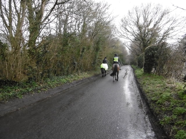
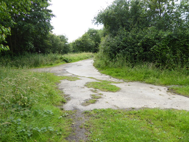
Chalklin's Shaw offers numerous walking trails, allowing visitors to explore the woodland and enjoy its natural wonders. The pathways wind through the trees, providing glimpses of wildlife such as deer, rabbits, and various bird species. The peaceful atmosphere of the Shaw makes it an ideal spot for birdwatching and photography.
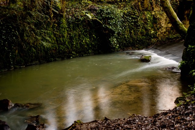
The woodland is well-maintained and boasts several picnic areas and benches, inviting visitors to relax and take in the surroundings. Additionally, there is a small stream that runs through the Shaw, adding to its charm and providing a pleasant backdrop for picnickers.
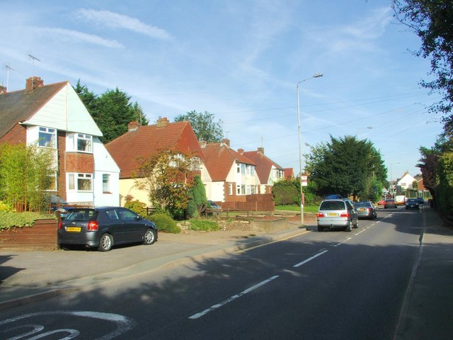
Chalklin's Shaw is easily accessible, with ample parking available nearby. It is a favorite spot for both locals and tourists seeking a peaceful retreat away from the hustle and bustle of city life. Whether it's a leisurely stroll, a family picnic, or an opportunity to appreciate nature's beauty, Chalklin's Shaw offers something for everyone.
If you have any feedback on the listing, please let us know in the comments section below.
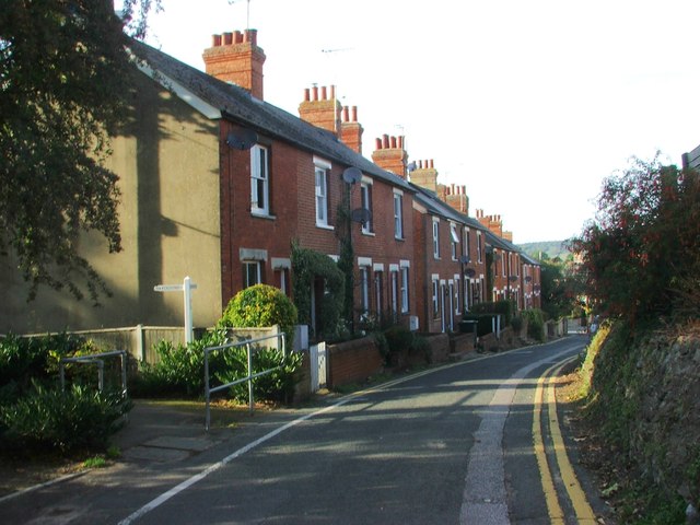
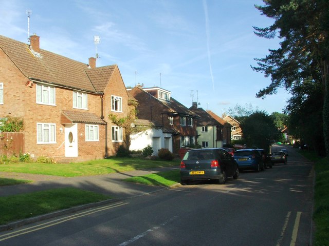
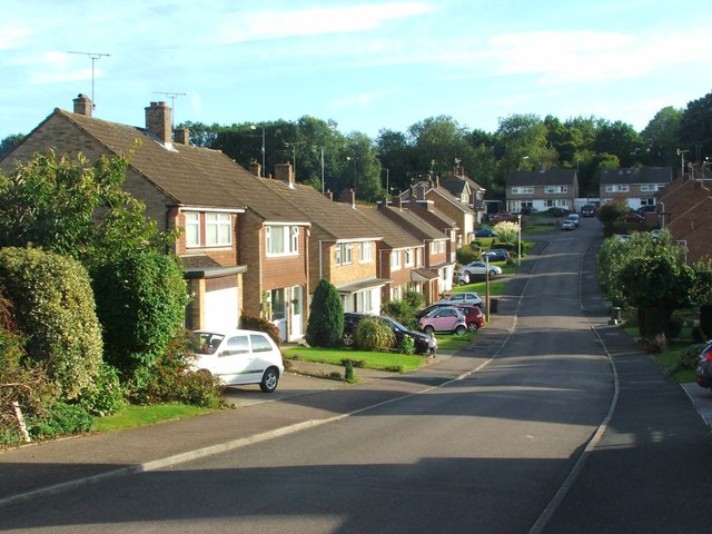
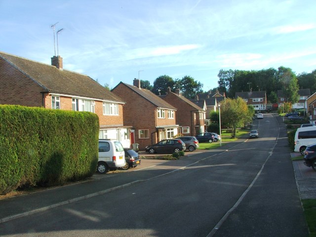
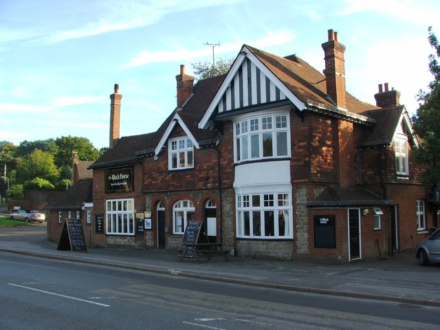
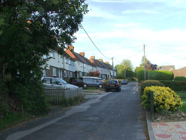
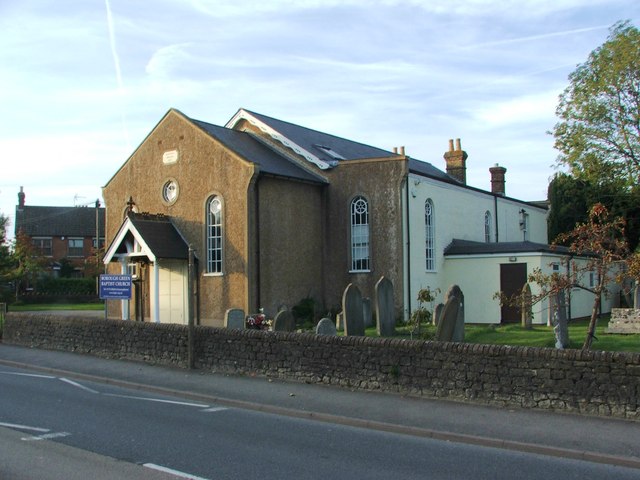
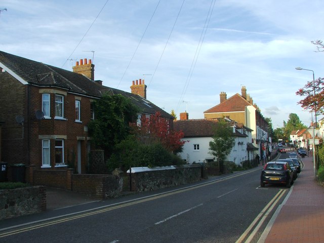
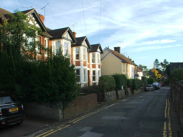
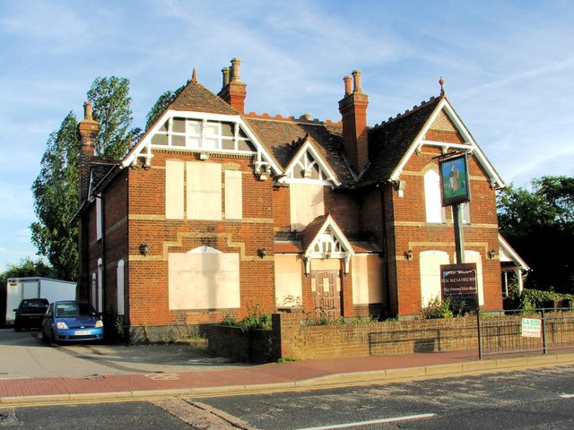
Chalklin's Shaw Images
Images are sourced within 2km of 51.281576/0.29089126 or Grid Reference TQ5956. Thanks to Geograph Open Source API. All images are credited.
Chalklin's Shaw is located at Grid Ref: TQ5956 (Lat: 51.281576, Lng: 0.29089126)
Administrative County: Kent
District: Tonbridge and Malling
Police Authority: Kent
What 3 Words
///sake.repay.market. Near Borough Green, Kent
Nearby Locations
Related Wikis

Ightham
Ightham ( EYE-təm) is a parish and village in Kent, England, located approximately four miles east of Sevenoaks and six miles north of Tonbridge. The...

The Old House, Ightham Common
The Old House is a Grade II listed public house at Redwell Lane, Ightham Common, Kent TN15 9EE.It is on the Campaign for Real Ale's National Inventory...
Basted, Kent
Basted is a hamlet in the Tonbridge and Malling district, in the county of Kent, England. == Nearby settlements == === Town === Sevenoaks === Villages... ===
Bourne Alder Carr
Bourne Alder Carr is a 13.4-hectare (33-acre) biological Site of Special Scientific Interest east of Sevenoaks in Kent.The River Bourne runs through a...

Claygate Cross
Claygate Cross is a hamlet in the Tonbridge and Malling district, in the English county of Kent. == Location == It is near the River Bourne. Nearby settlements...

Borough Green
Borough Green is situated in the borough of Tonbridge and Malling in Kent, England. The central area is situated on the A25 road between Maidstone and...

Oldbury rock shelters
The Oldbury rock shelters are a complex of Middle Palaeolithic sites situated on the slopes of Oldbury hillfort near Ightham in the English county of Kent...
Borough Green & Wrotham railway station
Borough Green & Wrotham railway station is located in Borough Green in Kent, England. It is 29 miles 46 chains (47.6 km) down the line from London Victoria...
Nearby Amenities
Located within 500m of 51.281576,0.29089126Have you been to Chalklin's Shaw?
Leave your review of Chalklin's Shaw below (or comments, questions and feedback).