Iken
Settlement in Suffolk East Suffolk
England
Iken

Iken is a small village located in the eastern part of England, specifically in the county of Suffolk. Situated on the banks of the River Alde, Iken boasts a picturesque and idyllic setting, surrounded by stunning natural landscapes. With its population of around 100 people, this rural village offers a tranquil and peaceful atmosphere that attracts visitors looking for a retreat from the hustle and bustle of city life.
The village is known for its rich historical heritage, with evidence of human activity dating back to Roman times. The renowned Iken Church, also known as St. Botolph's Church, is a significant landmark in the area. This ancient place of worship dates back to the 7th century and is well-preserved, showcasing exquisite architecture and historical artifacts.
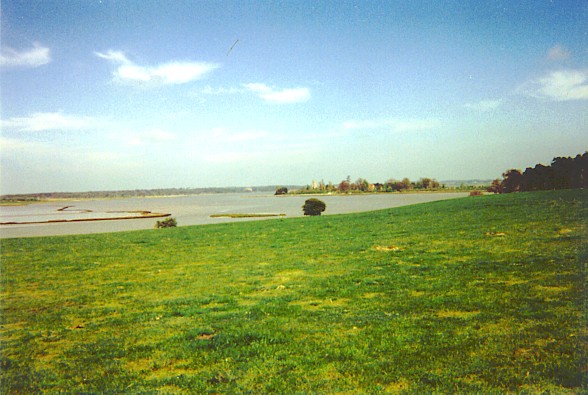
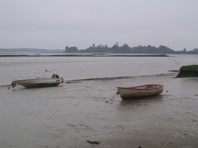
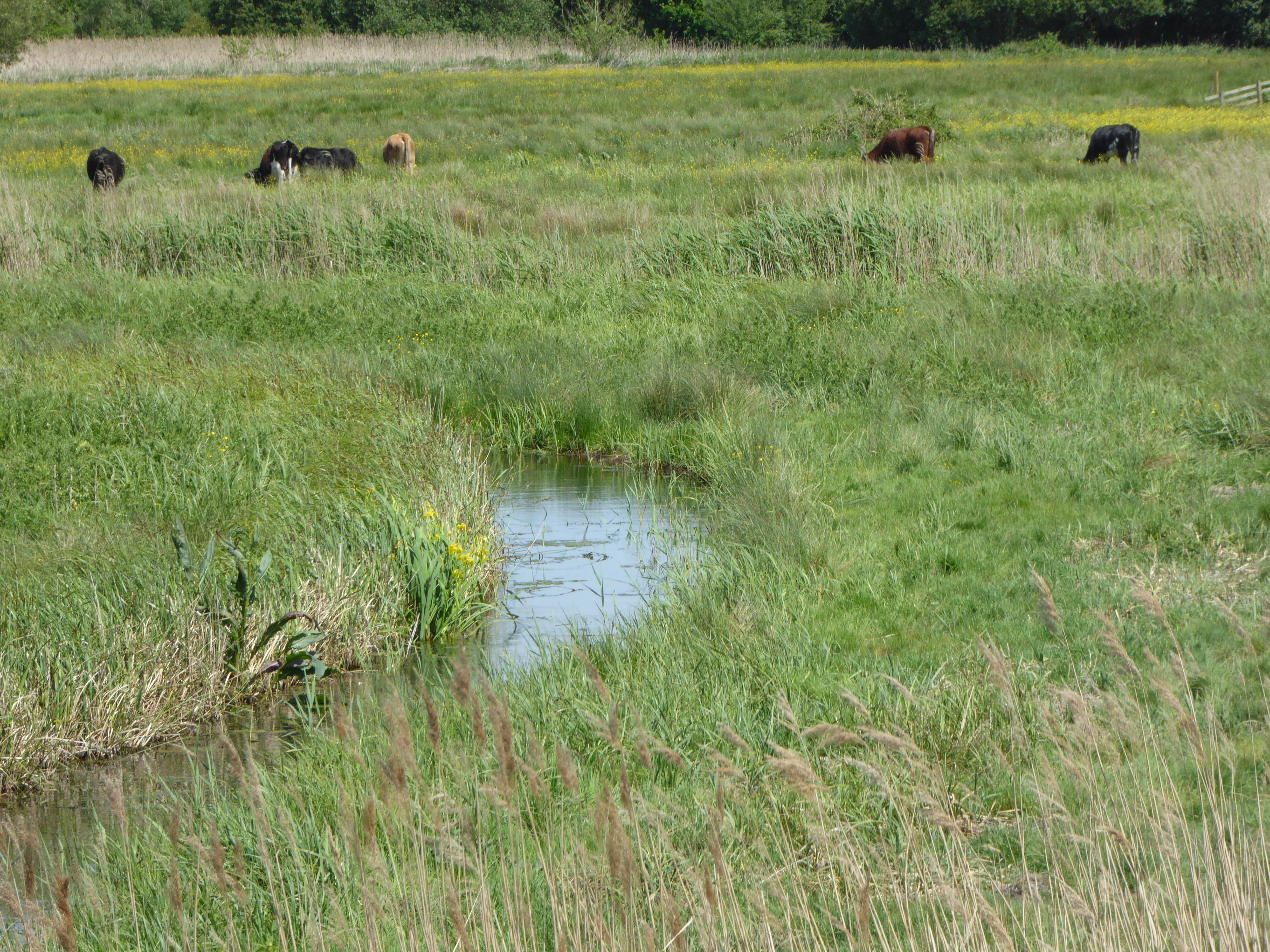
Nature enthusiasts will find Iken to be a haven, as it is nestled within the Suffolk Coast and Heaths Area of Outstanding Natural Beauty. The River Alde estuary provides ample opportunities for boating and fishing, while the surrounding marshes and wetlands are home to a diverse range of bird species, making it a popular spot for birdwatching.
Despite its small size, Iken is not lacking in amenities. There is a charming tearoom where visitors can enjoy a cup of tea and freshly baked scones while taking in the scenic views. Additionally, nearby towns and villages offer a range of accommodation options for those who wish to stay longer and explore the surrounding area.
In summary, Iken, Suffolk is a quaint village that offers a peaceful retreat, rich history, and stunning natural beauty. Whether it be exploring the ancient church, immersing oneself in the beautiful landscapes, or simply enjoying the serenity, Iken is a hidden gem that will captivate any visitor.
If you have any feedback on the listing, please let us know in the comments section below.
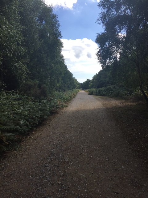
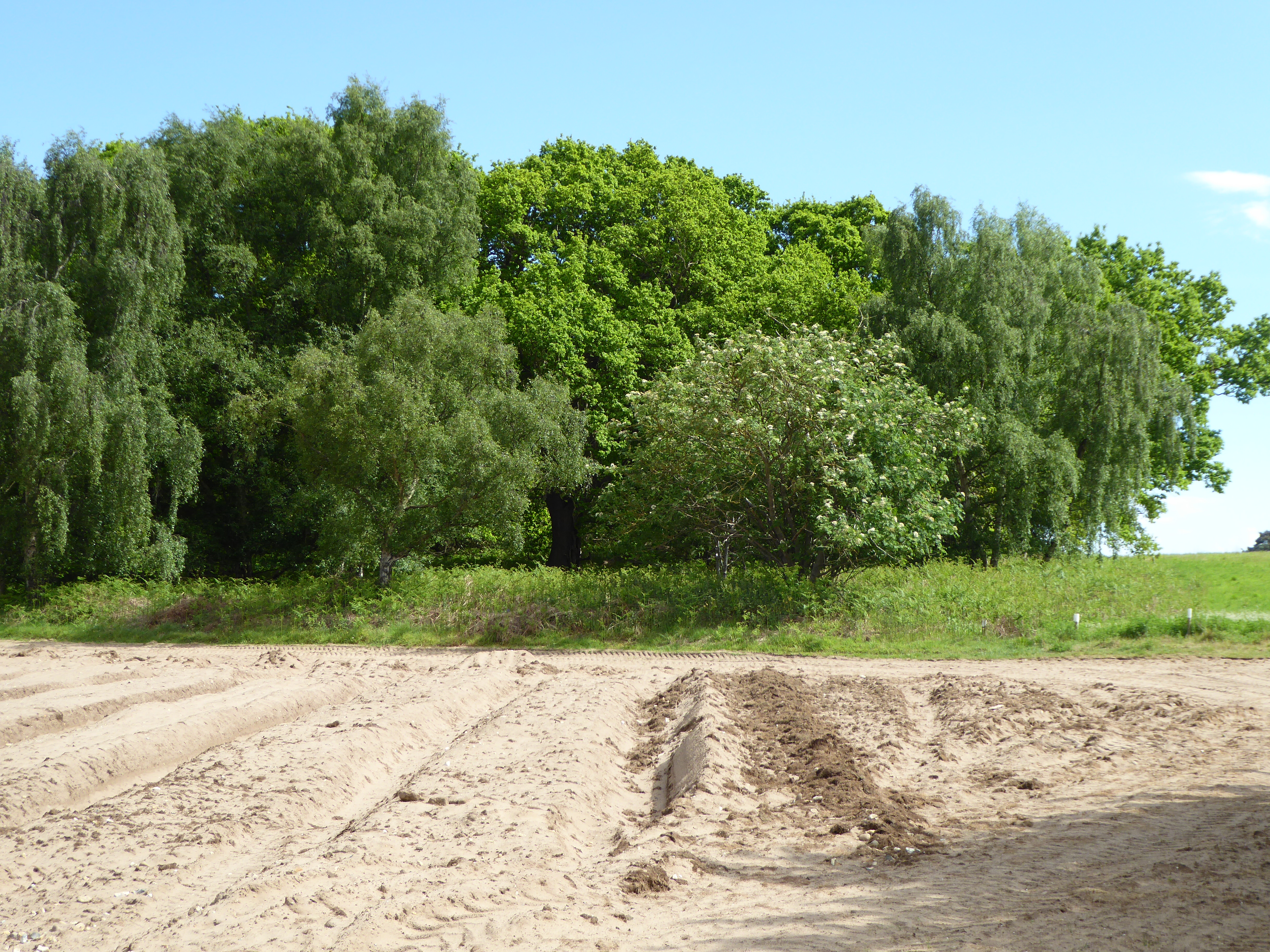
Iken Images
Images are sourced within 2km of 52.148883/1.52076 or Grid Reference TM4055. Thanks to Geograph Open Source API. All images are credited.


Iken is located at Grid Ref: TM4055 (Lat: 52.148883, Lng: 1.52076)
Administrative County: Suffolk
District: East Suffolk
Police Authority: Suffolk
What 3 Words
///dined.dupe.altering. Near Aldeburgh, Suffolk
Nearby Locations
Related Wikis

Iken
Iken is a small village and civil parish in the sandlands of the English county of Suffolk, an area formerly of heathland and sheep pasture. It is near...
Alde Mudflats
Alde Mudflats is a 22 hectare nature reserve west of Iken in Suffolk. It is owned by the Crown Estate and managed by the Suffolk Wildlife Trust. It is...

Suffolk Coastal (UK Parliament constituency)
Suffolk Coastal (sometimes known as Coastal Suffolk) is a parliamentary constituency in the county of Suffolk, England which has been represented in the...

Plomesgate Hundred
Plomesgate is a hundred of Suffolk, consisting of 41,579 acres (168.26 km2).Plomesgate Hundred comprises the historic ports of Aldeburgh and Orford, the...
Iken Wood
Iken Wood is a 5.3-hectare (13-acre) biological Site of Special Scientific Interest south of Snape in Suffolk. It is in the Suffolk Coast and Heaths Area...
Snape Marshes
Snape Marshes is a 19.8-hectare (49-acre) nature reserve south-east of Snape in Suffolk. It is owned and managed by the Suffolk Wildlife Trust.The diverse...
Aldeburgh Festival
The Aldeburgh Festival of Music and the Arts is an English arts festival devoted mainly to classical music. It takes place each June in the Aldeburgh area...
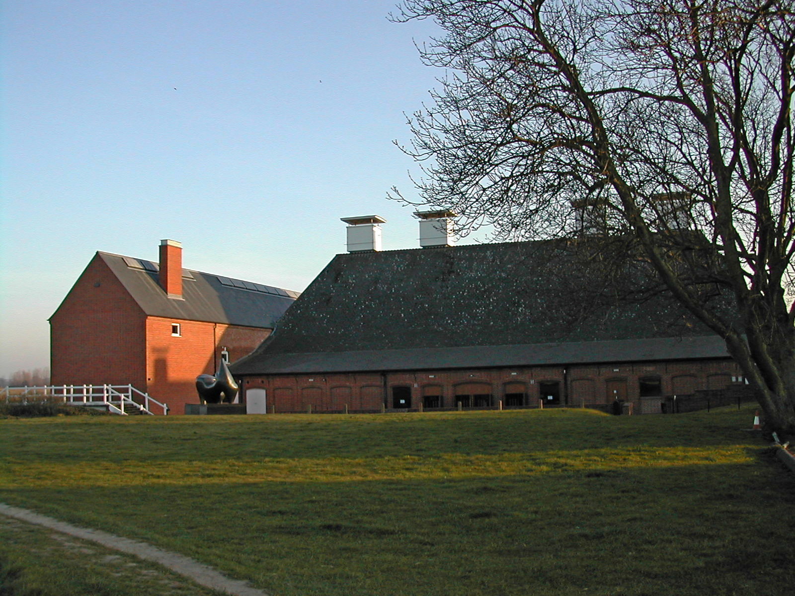
Snape Maltings Concert Hall
Snape Maltings Concert Hall is an arts complex on the banks of the River Alde at Snape, Suffolk, England. It is best known as one of the main sites of...
Nearby Amenities
Located within 500m of 52.148883,1.52076Have you been to Iken?
Leave your review of Iken below (or comments, questions and feedback).