Ilam
Settlement in Staffordshire Staffordshire Moorlands
England
Ilam
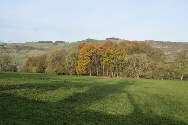
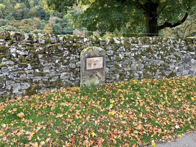
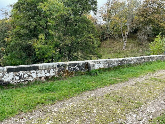
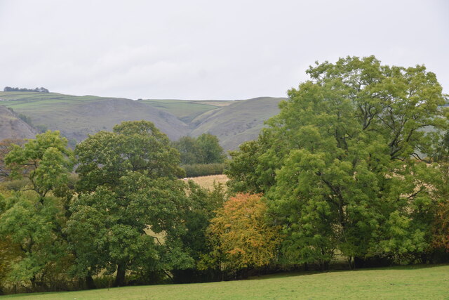
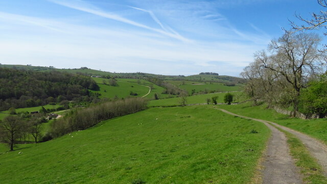
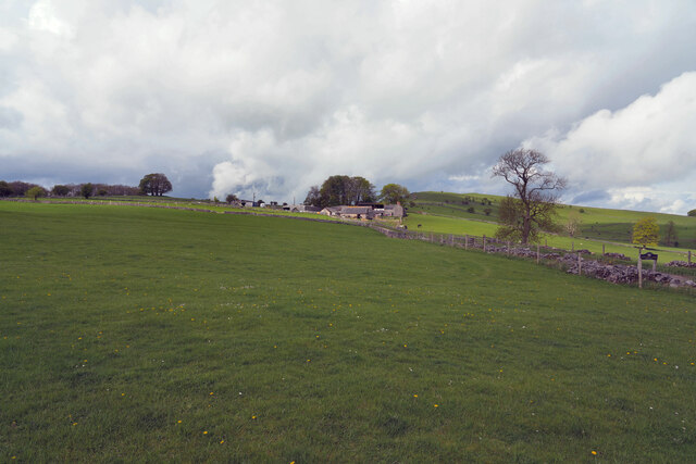
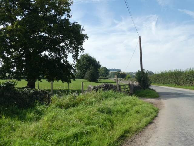
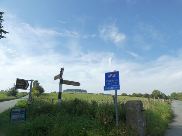
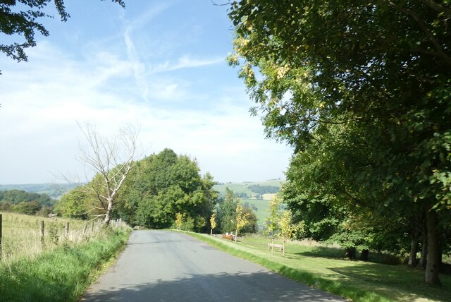
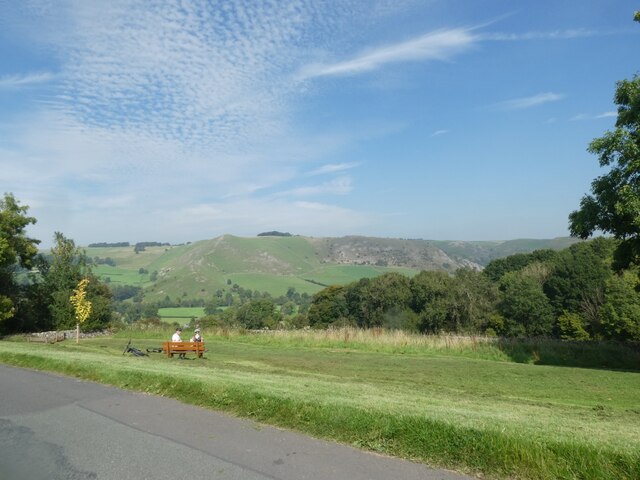
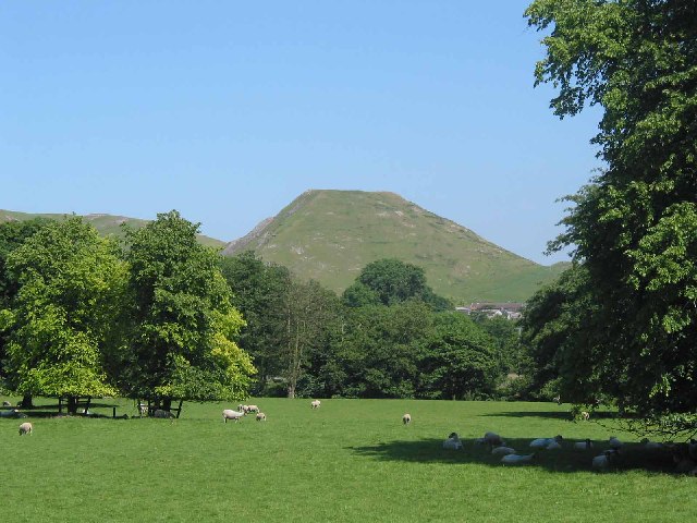
Ilam is a picturesque village nestled in the Staffordshire Moorlands district of England. Located along the River Manifold, it lies approximately five miles west of the market town of Ashbourne. Ilam is renowned for its natural beauty and is part of the Peak District National Park, making it a popular destination for outdoor enthusiasts and nature lovers.
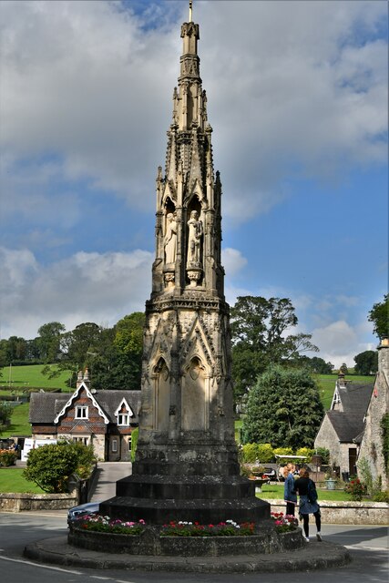
The village itself is characterized by its charming stone houses, many of which date back to the 17th and 18th centuries. The centerpiece of Ilam is undoubtedly Ilam Hall, an impressive Gothic mansion built in the 1820s. Once the seat of the wealthy Watts-Russell family, the hall now serves as a youth hostel and is surrounded by stunning landscaped gardens, including a beautiful Italianate garden.
Ilam also boasts an attractive village green, complete with a duck pond and a quaint tea room serving traditional British fare. The village is home to a small but vibrant community, with a primary school, a post office, and a parish church, St. Bertram's.
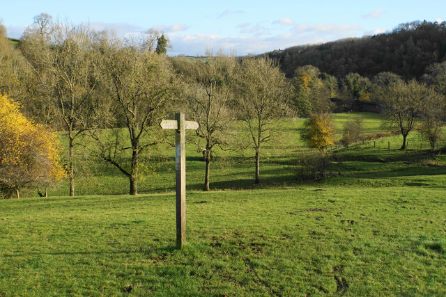
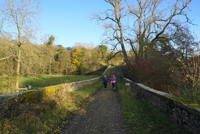
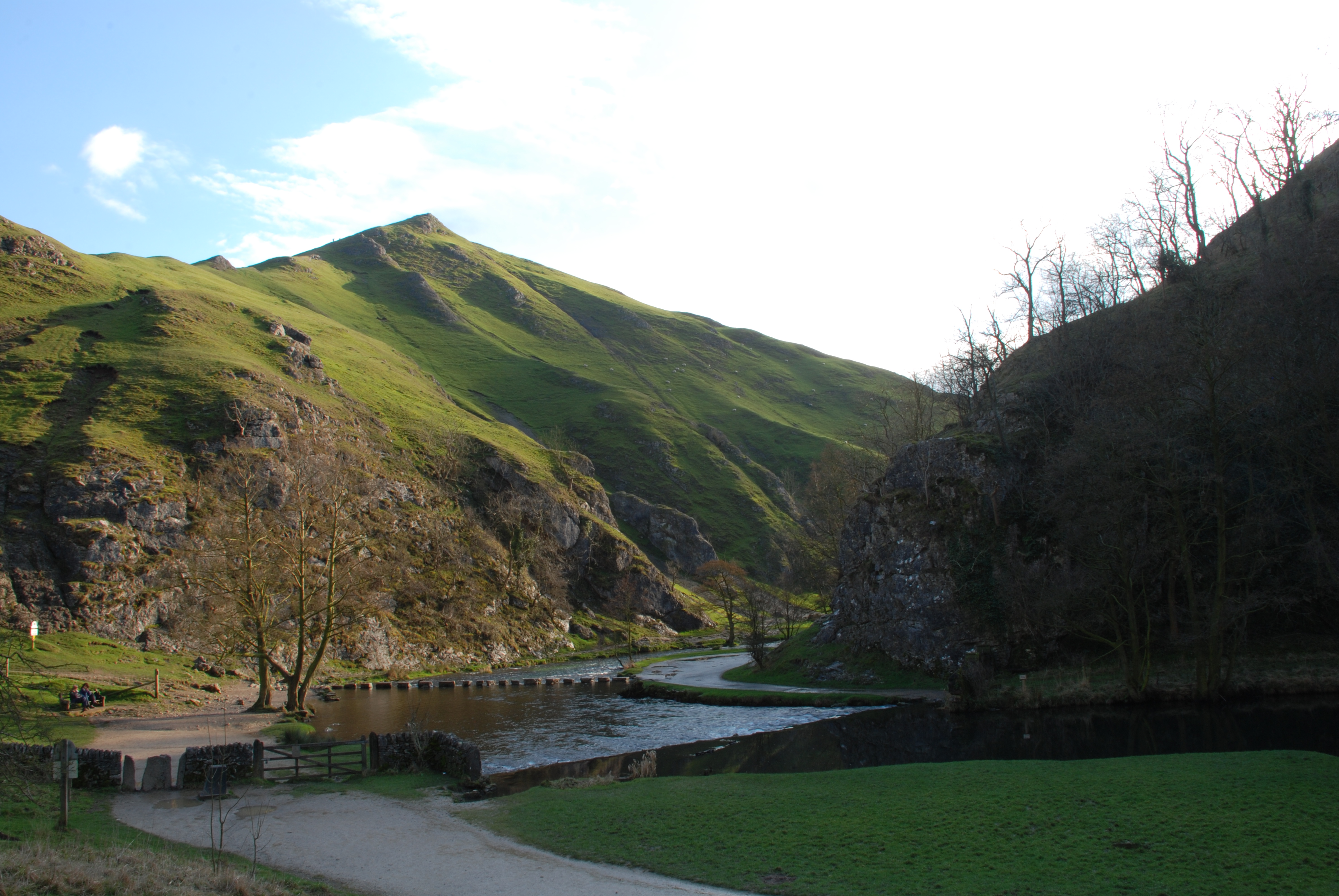
For those seeking outdoor adventures, Ilam offers a range of activities. The surrounding countryside is perfect for walking, cycling, and horse riding, with numerous trails and paths to explore. The Dovedale Stepping Stones, a popular landmark, can be found just a short distance away, and provide a picturesque crossing point over the River Dove.
Overall, Ilam is a captivating village that seamlessly combines history, natural beauty, and a strong sense of community, making it a delightful place to visit or call home.
If you have any feedback on the listing, please let us know in the comments section below.
Ilam Images
Images are sourced within 2km of 53.054674/-1.799762 or Grid Reference SK1350. Thanks to Geograph Open Source API. All images are credited.


Ilam is located at Grid Ref: SK1350 (Lat: 53.054674, Lng: -1.799762)
Administrative County: Staffordshire
District: Staffordshire Moorlands
Police Authority: Staffordshire
What 3 Words
///drift.forecast.repeating. Near Ashbourne, Derbyshire
Nearby Locations
Related Wikis

Ilam Park
Ilam Park is a 158-acre (0.64 km2) country park situated in Ilam, on both banks of the River Manifold five miles (8 km) north west of Ashbourne, England...

White Peak Estate
The White Peak Estate (previously known as the South Peak Estate) of the National Trust comprises several land holdings in the Southern Peak District....

Ilam, Staffordshire
Ilam ( ) is a village in the Staffordshire Peak District of England, lying on the River Manifold. The population of the civil parish as taken at the 2011...

River Manifold
The River Manifold is a river in Staffordshire, England. It is a tributary of the River Dove (which also flows through the Peak District, forming the boundary...
Thorpe Cloud
Thorpe Cloud is an isolated limestone hill (a reef knoll) lying between the villages of Thorpe and Ilam on the Derbyshire/Staffordshire border at the southern...
Dovedale
Dovedale is a valley in the Peak District of England. The land is owned by the National Trust and attracts a million visitors annually. The valley was...
Blore with Swinscoe
Blore with Swinscoe is a civil parish north-west of Ashbourne, in the Staffordshire Moorlands district of Staffordshire, England, on the edge of the Peak...
Thorpe, Derbyshire
Thorpe is a village and civil parish in the English county of Derbyshire; it is on the Derbyshire/Staffordshire border, on the east bank of the River Dove...
Related Videos

Dovedale to Milldale 26th Best British Walk, English Countryside 4K
https://www.buymeacoffee.com/Daveswalks All support is hugely appreciated and it helps me keep the channel going! No talking ...

Ilam Village Walk, English Countryside 4K
https://www.buymeacoffee.com/Daveswalks All support is hugely appreciated and it helps me keep the channel going! No talking ...

![UK യിലെ മൊട്ടാകുന്നുകൾ കാണാൻ പോയ് | Dovedale[ Travel Beeps]](https://i.ytimg.com/vi/rnAvy1WMEF4/hqdefault.jpg)
UK യിലെ മൊട്ടാകുന്നുകൾ കാണാൻ പോയ് | Dovedale[ Travel Beeps]
dovedale #travelbeeps #uk Dovedale is a valley in the Peak District of England. The land is owned by the National Trust and ...
Nearby Amenities
Located within 500m of 53.054674,-1.799762Have you been to Ilam?
Leave your review of Ilam below (or comments, questions and feedback).