Parson's Wood
Wood, Forest in Staffordshire Staffordshire Moorlands
England
Parson's Wood
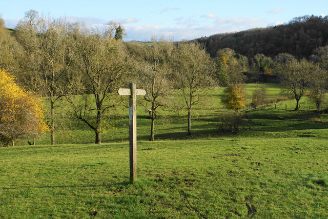
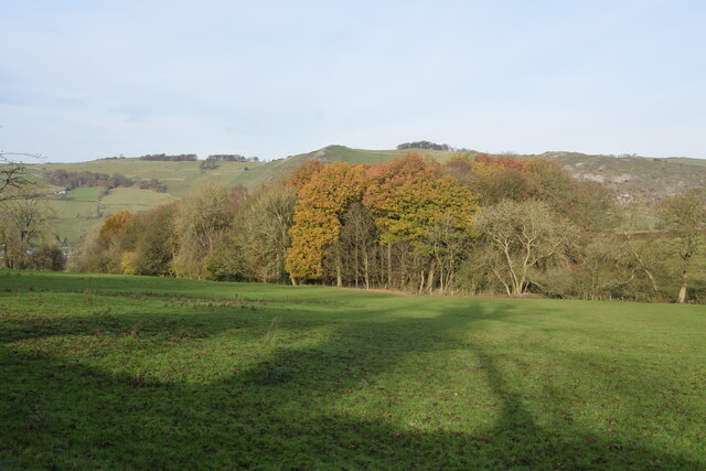
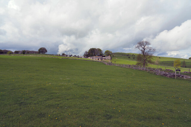
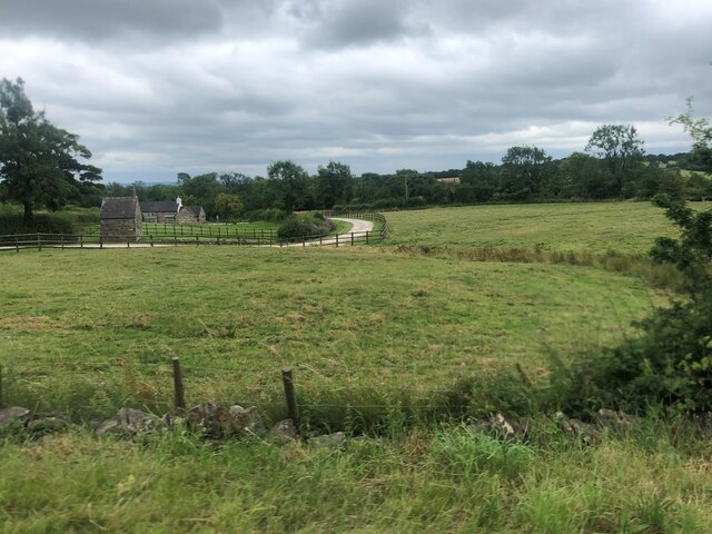
Parson's Wood is a picturesque forest located in the county of Staffordshire, England. Covering an area of approximately 100 acres, this woodland is known for its natural beauty and diverse range of flora and fauna. It is situated near the village of Parson's Wood, which is named after the forest.
The woodland is predominantly composed of oak and beech trees, creating a dense canopy that provides shade and shelter for various wildlife species. Bluebells and wildflowers carpet the forest floor during the spring months, adding a burst of color to the landscape.
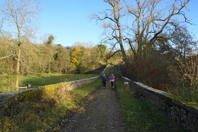
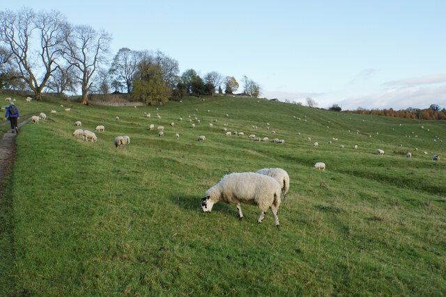
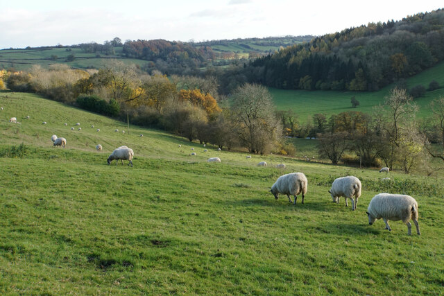
Parson's Wood is a popular destination for nature enthusiasts and outdoor lovers. It offers numerous walking trails and pathways that meander through the forest, allowing visitors to explore its hidden corners and discover its natural wonders. The trails are well-maintained and provide a variety of routes, catering to different fitness levels and preferences.
Birdwatchers flock to the woodland to catch a glimpse of the diverse bird species that inhabit the area, including woodpeckers, owls, and thrushes. Squirrels, rabbits, and deer are also commonly spotted among the trees, adding to the wildlife experience.
The forest is managed by the local council, who ensure the preservation of its natural habitat. Visitors are encouraged to respect the woodland environment by following designated paths, refraining from littering, and avoiding damage to the trees and vegetation.
Overall, Parson's Wood is a tranquil and enchanting forest that offers a peaceful escape from the hustle and bustle of everyday life. Its natural beauty and abundant wildlife make it a cherished destination for those seeking a connection with nature.
If you have any feedback on the listing, please let us know in the comments section below.
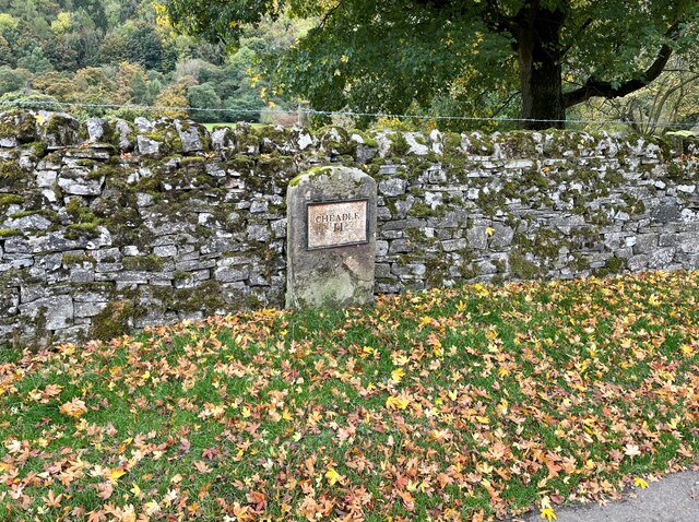
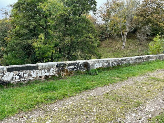
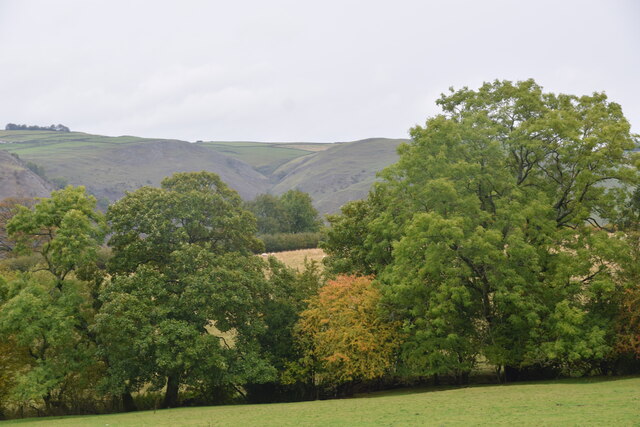
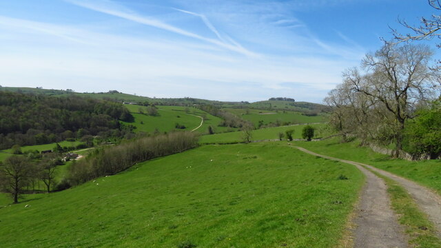
Parson's Wood Images
Images are sourced within 2km of 53.047102/-1.7976597 or Grid Reference SK1350. Thanks to Geograph Open Source API. All images are credited.


Parson's Wood is located at Grid Ref: SK1350 (Lat: 53.047102, Lng: -1.7976597)
Administrative County: Staffordshire
District: Staffordshire Moorlands
Police Authority: Staffordshire
What 3 Words
///award.shuttling.dull. Near Ashbourne, Derbyshire
Nearby Locations
Related Wikis

Ilam, Staffordshire
Ilam ( ) is a village in the Staffordshire Peak District of England, lying on the River Manifold. The population of the civil parish as taken at the 2011...

River Manifold
The River Manifold is a river in Staffordshire, England. It is a tributary of the River Dove (which also flows through the Peak District, forming the boundary...

Ilam Park
Ilam Park is a 158-acre (0.64 km2) country park situated in Ilam, on both banks of the River Manifold five miles (8 km) north west of Ashbourne, England...

White Peak Estate
The White Peak Estate (previously known as the South Peak Estate) of the National Trust comprises several land holdings in the Southern Peak District....
Blore with Swinscoe
Blore with Swinscoe is a civil parish north-west of Ashbourne, in the Staffordshire Moorlands district of Staffordshire, England, on the edge of the Peak...
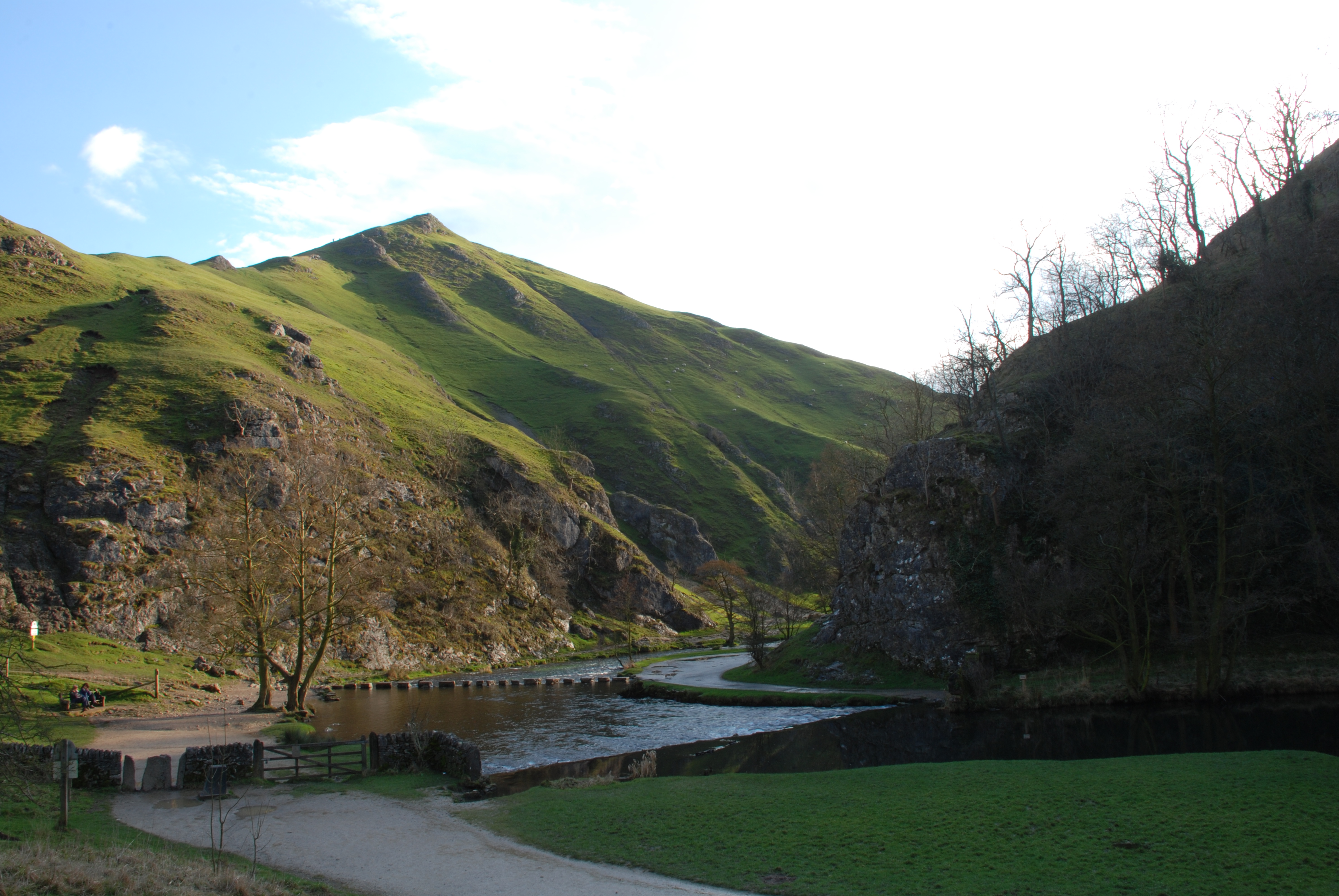
Thorpe Cloud
Thorpe Cloud is an isolated limestone hill (a reef knoll) lying between the villages of Thorpe and Ilam on the Derbyshire/Staffordshire border at the southern...

Blore
Blore (grid reference SK137493) is a small village and parish in the Staffordshire Moorlands District of England. It is on an acclivity above Dovedale...
Dovedale
Dovedale is a valley in the Peak District of England. The land is owned by the National Trust and attracts a million visitors annually. The valley was...
Nearby Amenities
Located within 500m of 53.047102,-1.7976597Have you been to Parson's Wood?
Leave your review of Parson's Wood below (or comments, questions and feedback).