Ightham Common

Wood, Forest in Kent Tonbridge and Malling

England

Ightham Common

The Golding Hop, near Plaxtol
The Golding Hop, near Plaxtol Credit: Chris Whippet

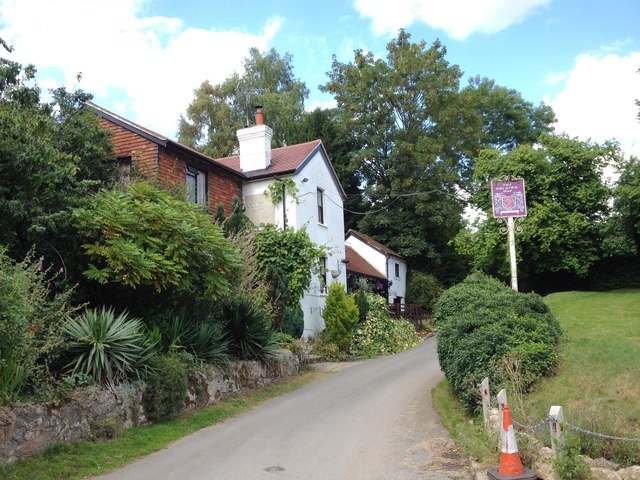
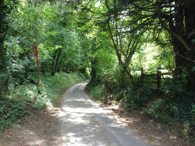
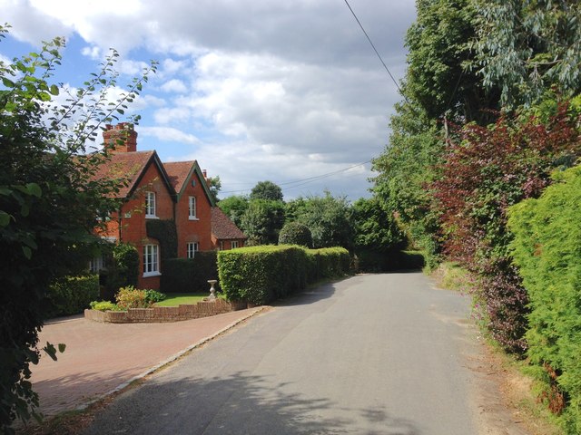
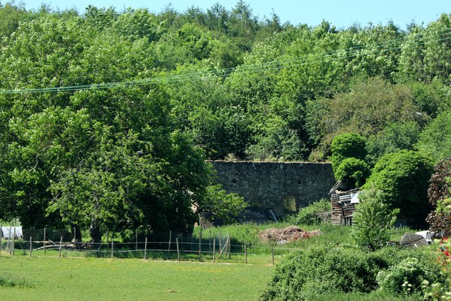
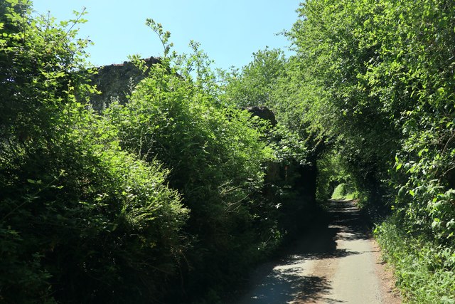
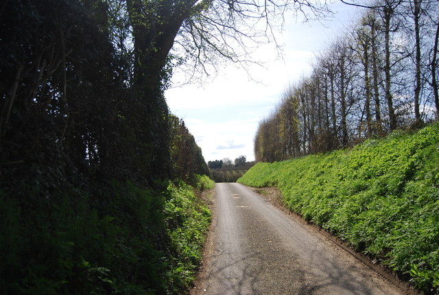
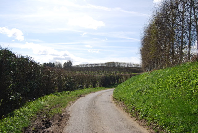
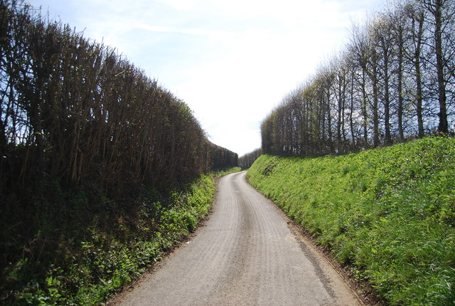
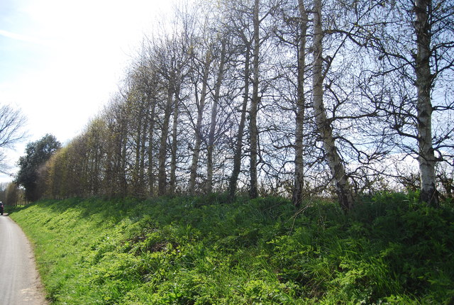
Ightham Common is a picturesque woodland area located in the county of Kent, England. Sprawled across approximately 260 acres, it is a designated nature reserve managed by the National Trust. The common is situated within the larger Ightham Mote estate, which is renowned for its historic buildings and beautiful landscapes.

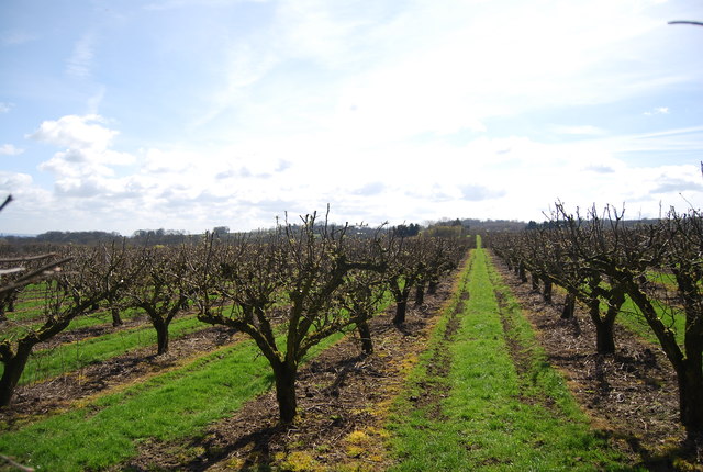
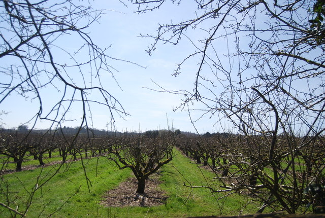
The common is predominantly composed of ancient woodland, characterized by a diverse range of tree species including oak, beech, and ash. The woodland floor is blanketed with a rich tapestry of wildflowers, such as bluebells and primroses, which burst into vibrant colors during the spring season.

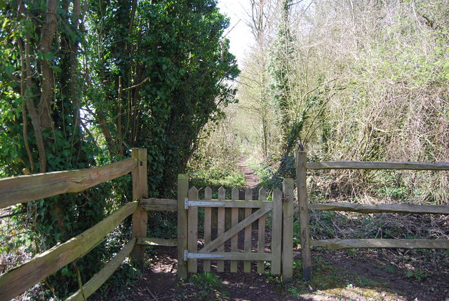
The common is a haven for wildlife, hosting a wide variety of species. It is home to numerous bird species including woodpeckers, tits, and finches, as well as a range of mammals like foxes, badgers, and deer. Visitors may be fortunate enough to catch a glimpse of these creatures as they explore the winding pathways that crisscross the common.

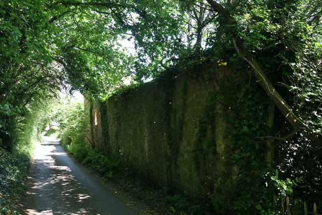
In addition to its natural beauty, Ightham Common also holds historical significance. Remnants of ancient earthworks and archaeological sites can be found throughout the area, including evidence of Iron Age and Roman settlements. These historical features add to the charm and intrigue of the common, making it an ideal destination for both nature enthusiasts and history buffs alike.

Overall, Ightham Common offers a tranquil and captivating experience, where visitors can immerse themselves in the beauty of nature and uncover the secrets of the past.

If you have any feedback on the listing, please let us know in the comments section below.

Ightham Common Images

Images are sourced within 2km of 51.274599/0.26956762 or Grid Reference TQ5855. Thanks to Geograph Open Source API. All images are credited.

The Golding Hop, near Plaxtol
Sheet Hill, near Plaxtol
Yopps Green, near Plaxtol
Remains of oast house at Crowhurst Farm, Crowhurst Lane, Borough Green
The Golding Hop Former pub on Sheet Hill.
The Golding Hop
Former pub on Sheet Hill.
Sheet Hill Farm Cottages
An orchard Orchards are a farming method for fruit. Most orchards are apple orchards, although pears, plums and other soft fruits are also grown. Due to changes in the economy and competition from abroad many orchards have been grubbed up and converted to other land uses. Fruit orchards are common across Kent (The Garden of England) and to a lesser extent Sussex.
An orchard
Orchards are a farming method for fruit. Most orchards are apple orchards, although pears, plums and other soft fruits are also grown. Due to changes in the economy and competition from abroad many orchards have been grubbed up and converted to other land uses. Fruit orchards are common across Kent (The Garden of England) and to a lesser extent Sussex.
Gated path The path to Crowhurst Lane.
Gated path
The path to Crowhurst Lane.
Farm produce for sale
Bourne Valley House, Crowhurst Lane
Crowhurst Lane Note the shelterbelt on the right, protecting the orchards.
Crowhurst Lane
Note the shelterbelt on the right, protecting the orchards.
Bend, Crowhurst Lane
Crowhurst Lane
Crowhurst Lane
Shelterbelt by Crowhurst Lane A windbreak or shelterbelt is a plantation usually made up of one or more rows of trees or shrubs planted in such a manner as to provide shelter from the wind and to protect soil from erosion. They are commonly planted around the edges of fields on farms. Windbreaks are also planted to help keep snow from drifting onto roadways. Other benefits include providing habitat for wildlife and in some regions the trees are harvested for wood products.
A further use for a shelterbelt is to screen a farm from a main road or motorway. This improves the farm landscape by reducing the visual incursion of the motorway, mitigating noise from the traffic and providing a safe barrier between farm animals and the road
Shelterbelt by Crowhurst Lane
A windbreak or shelterbelt is a plantation usually made up of one or more rows of trees or shrubs planted in such a manner as to provide shelter from the wind and to protect soil from erosion. They are commonly planted around the edges of fields on farms. Windbreaks are also planted to help keep snow from drifting onto roadways. Other benefits include providing habitat for wildlife and in some regions the trees are harvested for wood products. A further use for a shelterbelt is to screen a farm from a main road or motorway. This improves the farm landscape by reducing the visual incursion of the motorway, mitigating noise from the traffic and providing a safe barrier between farm animals and the road
Orchard near Bourne Valley House
Bourne Valley House
Bourne Valley House
Show me another place!

Ightham Common is located at Grid Ref: TQ5855 (Lat: 51.274599, Lng: 0.26956762)

Administrative County: Kent

District: Tonbridge and Malling

Police Authority: Kent

What 3 Words

///appear.skins.empty. Near Borough Green, Kent

Related Wikis

Ivy Hatch Nature Reserve

Ivy Hatch Nature Reserve in Ivy Hatch, north of Tonbridge in Kent, is a 0.5-hectare (1.2-acre) reserve managed by the Kent Wildlife Trust.Several streams...

Oldbury Camp

Oldbury Camp (also known as Oldbury hill fort) is the largest Iron Age hill fort in south-eastern England. It was built in the 1st century BC by Celtic...

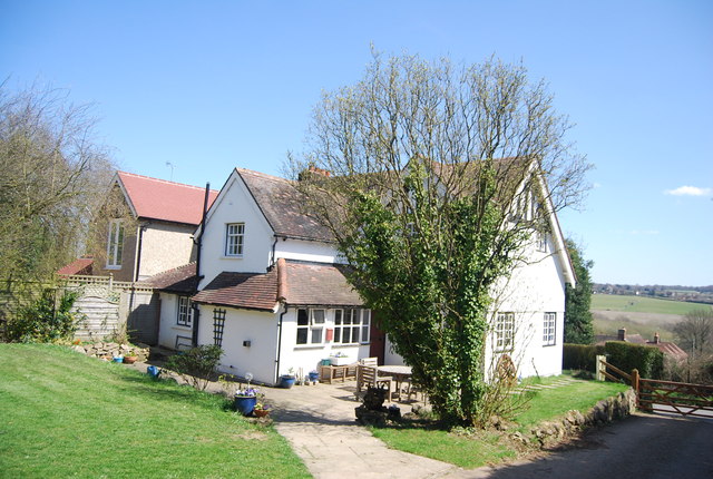
The Old House, Ightham Common

The Old House is a Grade II listed public house at Redwell Lane, Ightham Common, Kent TN15 9EE.It is on the Campaign for Real Ale's National Inventory...

Oldbury and Seal Chart

Oldbury and Seal Chart is a 212.4-hectare (525-acre) biological Site of Special Scientific Interest east of Sevenoaks in Kent, England. It is in the Kent...

Oldbury rock shelters

The Oldbury rock shelters are a complex of Middle Palaeolithic sites situated on the slopes of Oldbury hillfort near Ightham in the English county of Kent...

Seal Chart

Seal Chart is a village 2 miles (3 km) east of Sevenoaks in Kent, England. It is within the Sevenoaks local government district. It is in the civil parish...

Ightham

Ightham ( EYE-təm) is a parish and village in Kent, England, located approximately four miles east of Sevenoaks and six miles north of Tonbridge. The...
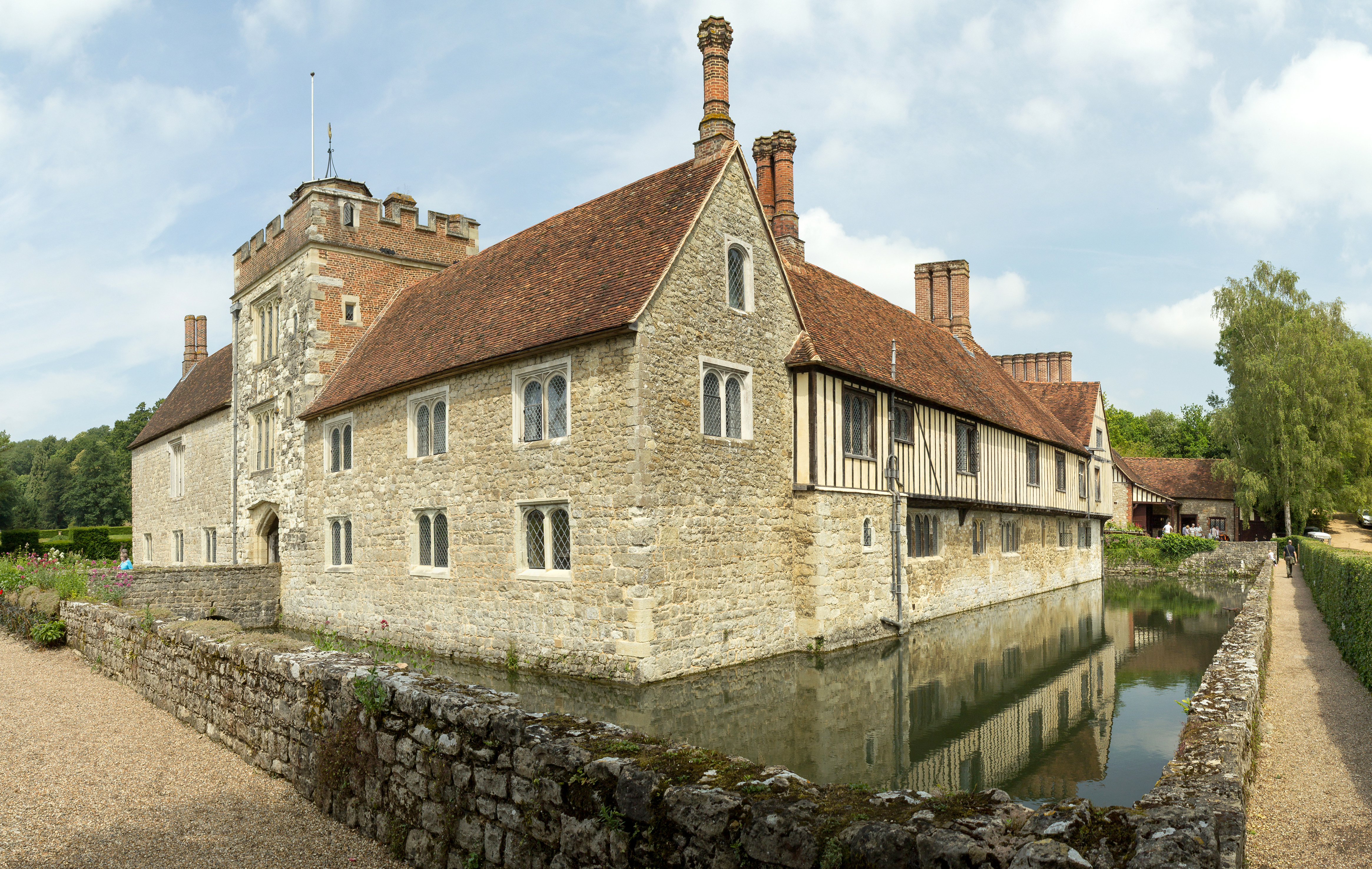
Ightham Mote

Ightham Mote (), at Ightham, is a medieval moated manor house in Kent, England. The architectural writer John Newman describes it as "the most complete...

Nearby Amenities

Located within 500m of 51.274599,0.26956762
Bus Stop
Seven Wents
Local Ref: W-bound
Naptan AtcoCode: 2400A005560A
Naptan Bearing: W
Naptan BusStopType: MKD
Naptan CommonName: Seven Wents
Naptan Indicator: W-bound
Naptan Landmark: Seven Wents
Naptan NaptanCode: kntagwpg
Naptan RevisionNumber: 3
Naptan Status: act
Naptan Street: Sevenoaks Road
Naptan Verified: no
Public Transport: platform
Ref: kntagwpg
Shelter: yes
Source: naptan_import
Source Date: 2018-06-15
Lat/Long: 51.2770742/0.2662914
Bus Stop
Seven Wents
Local Ref: E-bound
Naptan AtcoCode: 2400A005590A
Naptan Bearing: E
Naptan BusStopType: MKD
Naptan CommonName: Seven Wents
Naptan Indicator: E-bound
Naptan Landmark: Seven Wents
Naptan NaptanCode: kntagwpt
Naptan RevisionNumber: 3
Naptan Status: act
Naptan Street: Sevenoaks Road
Naptan Verified: no
Public Transport: platform
Ref: kntagwpt
Source: naptan_import
Source Date: 2018-06-15
Lat/Long: 51.2772498/0.2655831
Ightham Common
Place: locality
Lat/Long: 51.2762368/0.2704406
Turning Circle
Lat/Long: 51.2770471/0.2698951
Bus Stop
Seven Wents
Local Ref: S-bound
Naptan AtcoCode: 2400106777
Naptan Bearing: SE
Naptan BusStopType: CUS
Naptan CommonName: Seven Wents
Naptan Indicator: S-bound
Naptan Landmark: Seven Wents
Naptan NaptanCode: kntjwagj
Naptan RevisionNumber: 0
Naptan Status: act
Naptan Street: Coach Road
Naptan Verified: no
Public Transport: platform
Ref: kntjwagj
Source: naptan_import
Source Date: 2014-09-04
Lat/Long: 51.2769002/0.2669137
Bus Stop
Seven Wents
Local Ref: N-bound
Naptan AtcoCode: 2400106779
Naptan Bearing: N
Naptan BusStopType: CUS
Naptan CommonName: Seven Wents
Naptan Indicator: N-bound
Naptan Landmark: Seven Wents
Naptan NaptanCode: kntjwagm
Naptan RevisionNumber: 1
Naptan Status: act
Naptan Street: Coach Road
Naptan Verified: no
Public Transport: platform
Ref: kntjwagm
Source: naptan_import
Source Date: 2018-06-15
Lat/Long: 51.2770596/0.2665774
Grit Bin
Lat/Long: 51.2777389/0.2746056
Grit Bin
Lat/Long: 51.2770552/0.2666186
Generator Method: photovoltaic
Generator Output Electricity: yes
Generator Source: solar
Generator Type: solar_photovoltaic_panel
Location: roof
Power: generator
Lat/Long: 51.2763571/0.2727082
The data included in this document is from www.openstreetmap.org. The data is made available under ODbL.

Have you been to Ightham Common?

Leave your review of Ightham Common below (or comments, questions and feedback).