Idoch
Settlement in Aberdeenshire
Scotland
Idoch

Idoch is a small village located in Aberdeenshire, Scotland. Situated approximately 13 miles northwest of Aberdeen, it falls within the Royal Borough of Turriff. With a population of around 200 residents, Idoch offers a peaceful and close-knit community atmosphere.
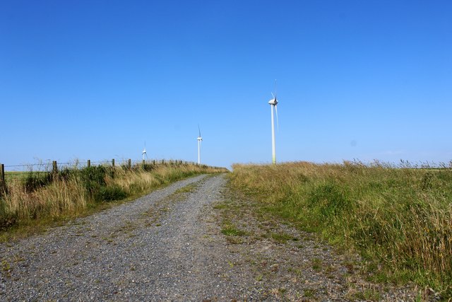
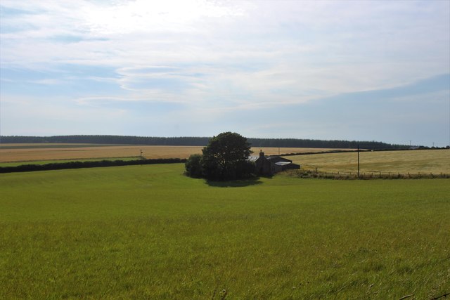
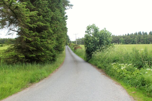
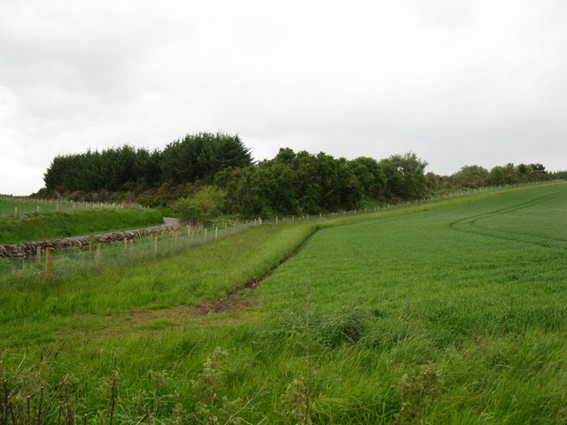
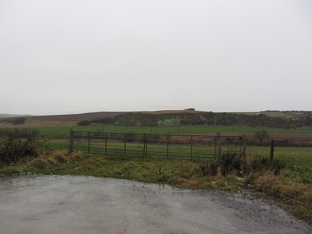
The village is surrounded by picturesque countryside, with rolling hills and farmland adding to its charm. Idoch is known for its stunning natural beauty, making it an ideal destination for outdoor enthusiasts and those seeking a tranquil escape.
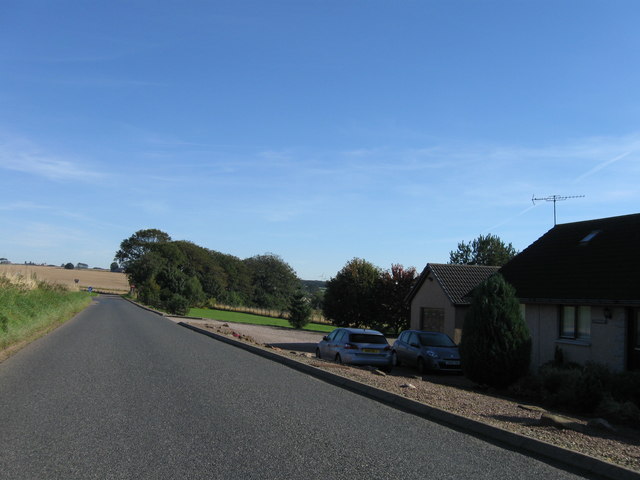
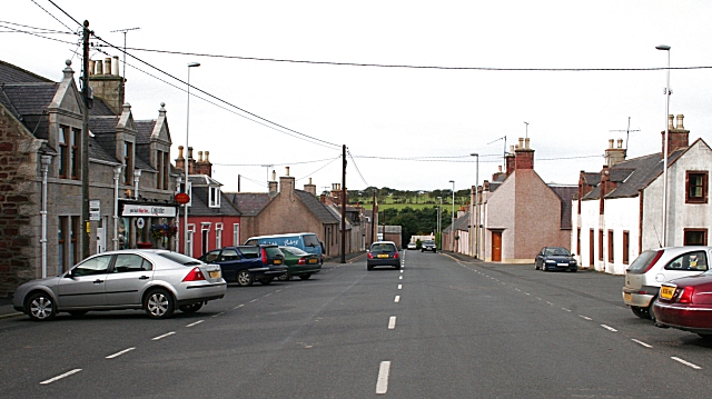
The village itself has a rich history, dating back centuries. It features a mix of traditional stone cottages and more modern houses, blending the old with the new. Amenities in Idoch are limited, with a small local shop providing essential supplies to residents.
For more extensive amenities and services, the nearby town of Turriff is easily accessible. Turriff offers a wider range of shops, supermarkets, schools, healthcare facilities, and recreational activities.
Idoch benefits from its proximity to the Aberdeenshire countryside, offering a variety of outdoor activities. Residents and visitors can explore the nearby forests and trails, perfect for hiking, cycling, and horseback riding.
Overall, Idoch is a charming village surrounded by breathtaking natural beauty. Its close-knit community and idyllic location make it a desirable place to live or visit for those seeking a peaceful Scottish experience.
If you have any feedback on the listing, please let us know in the comments section below.
Idoch Images
Images are sourced within 2km of 57.534115/-2.3770781 or Grid Reference NJ7749. Thanks to Geograph Open Source API. All images are credited.


Idoch is located at Grid Ref: NJ7749 (Lat: 57.534115, Lng: -2.3770781)
Unitary Authority: Aberdeenshire
Police Authority: North East
What 3 Words
///seats.decently.pizzeria. Near Turriff, Aberdeenshire
Nearby Locations
Related Wikis

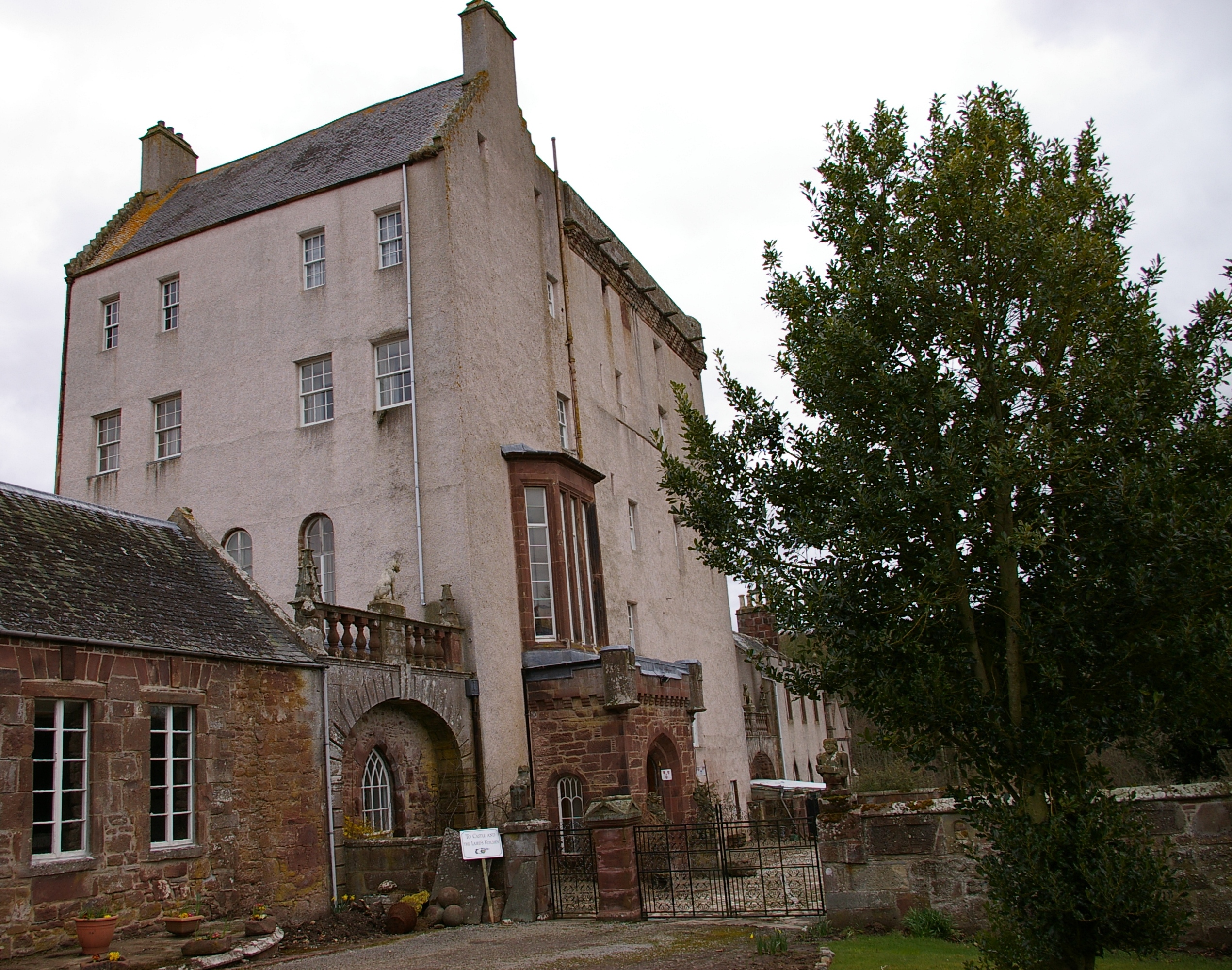
Idoch Castle
Idoch Castle was a 14th-century castle about 3 miles (4.8 km) east of Turriff, Aberdeenshire Scotland, near Idoch Water, a tributary of the River Deveron...
Delgatie Castle
Delgatie Castle is a castle near Turriff, in Aberdeenshire, Scotland. A castle has stood on the site of Delgatie Castle since the year 1030 AD, although...
Cuminestown
Cuminestown is a village in the Formartine area of Aberdeenshire, Scotland, and sits at the centre of the parish of Monquhitter. It is approximately 6...

Hatton Castle, Aberdeenshire
Hatton Castle is almost three miles (4.8 km) south-east of Turriff, Aberdeenshire in the north-east of Scotland. Formerly known as Balquholly Castle, sometimes...
Nearby Amenities
Located within 500m of 57.534115,-2.3770781Have you been to Idoch?
Leave your review of Idoch below (or comments, questions and feedback).