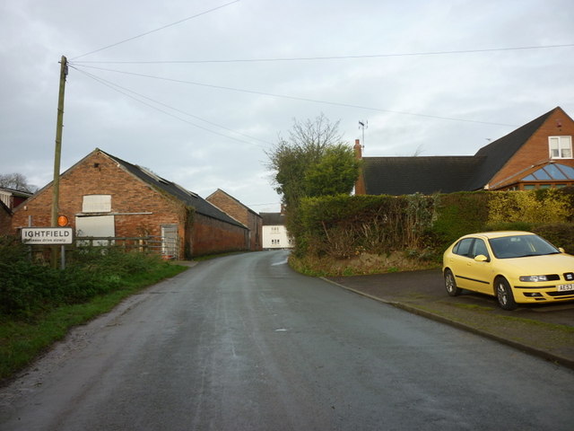
Ightfield
Civil Parish in Shropshire
England
Ightfield
Ightfield is a small civil parish located in the county of Shropshire, England. It is situated in the North Shropshire district, approximately 11 miles north of the town of Shrewsbury. The parish covers an area of around 1,300 acres and is home to a population of around 250 residents.
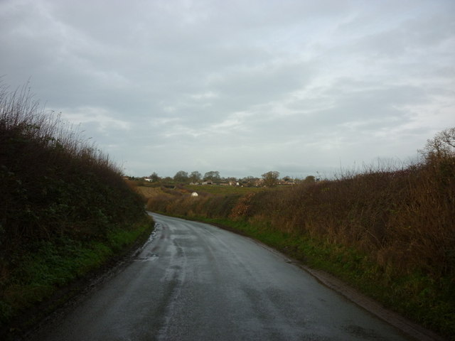
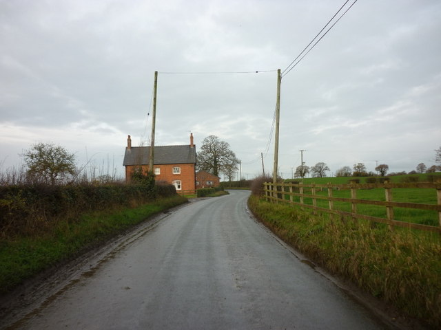
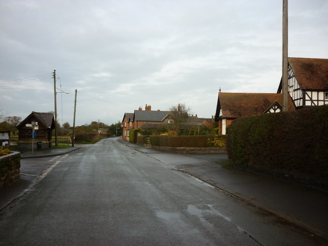
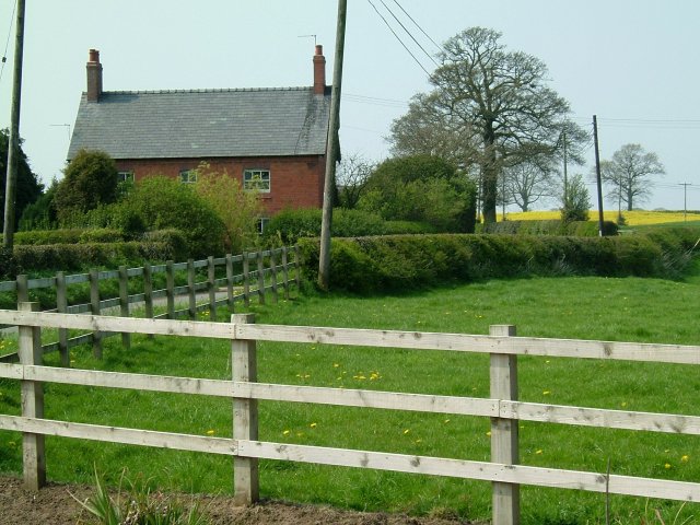
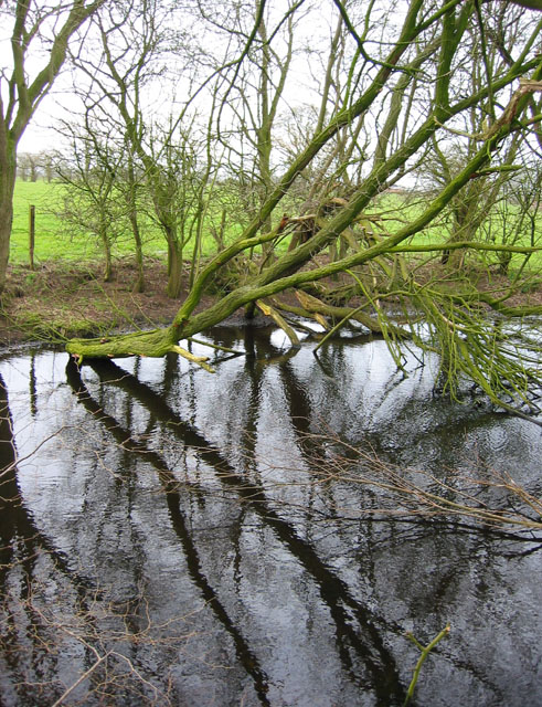
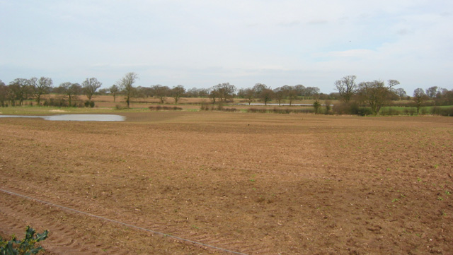
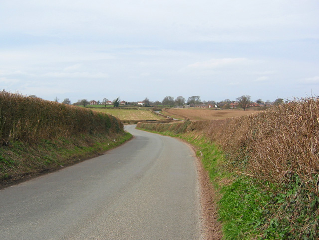
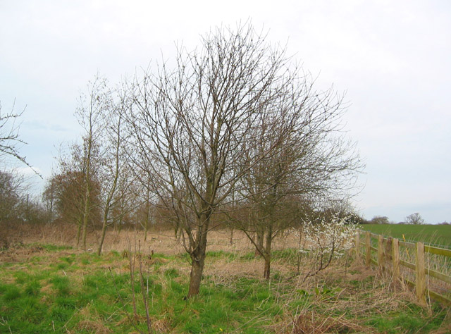
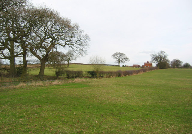
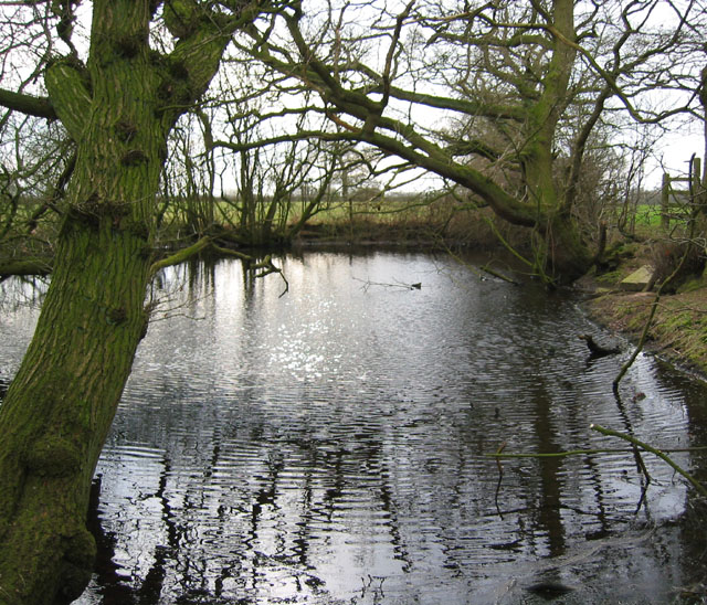
The village of Ightfield is known for its picturesque countryside and rural charm. It is surrounded by rolling hills and farmland, offering stunning views of the Shropshire landscape. The area is predominantly agricultural, with farming being the primary occupation of the local residents.
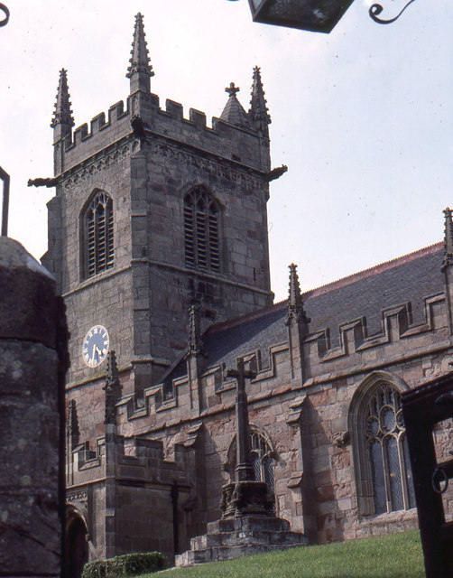
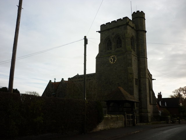
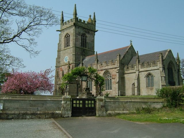
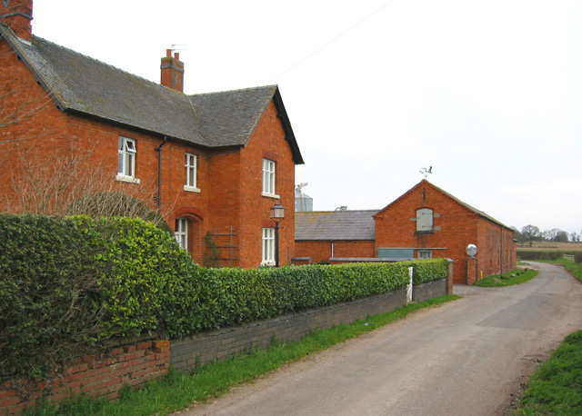
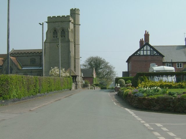
The village itself is made up of a small cluster of traditional cottages and houses, many of which date back several centuries. There is a historic church, St John the Baptist, which is believed to have been built in the 12th century. The church is a focal point of the community and hosts regular services and events.
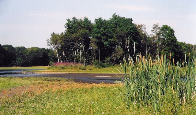
Although small in size, Ightfield has a strong sense of community spirit. There is a village hall that serves as a gathering place for various social events and activities. Additionally, there are several walking and cycling routes that pass through the parish, attracting outdoor enthusiasts and visitors who appreciate the natural beauty of the area.
Overall, Ightfield is a tranquil and idyllic village in the heart of Shropshire's countryside. It offers a peaceful and scenic environment, making it an attractive place to live for those seeking a rural lifestyle.
If you have any feedback on the listing, please let us know in the comments section below.
Ightfield Images
Images are sourced within 2km of 52.932694/-2.594002 or Grid Reference SJ6037. Thanks to Geograph Open Source API. All images are credited.
Ightfield is located at Grid Ref: SJ6037 (Lat: 52.932694, Lng: -2.594002)
Unitary Authority: Shropshire
Police Authority: West Mercia
What 3 Words
///bordering.insect.develops. Near Ash, Shropshire
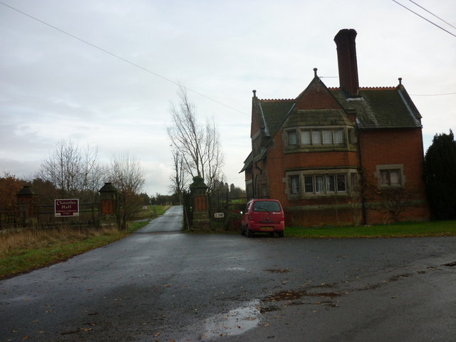
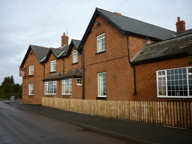
Nearby Locations
Related Wikis
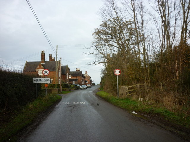
Calverhall
Calverhall is a small village in Shropshire, approximately 5 miles away from the town of Whitchurch. It lies within the civil parish of its neighbouring...

Ightfield
Ightfield is a small village and civil parish in Shropshire, England. The population of the parish at the 2011 census was 529.Within the civil parish boundaries...

Whitchurch Rural District, Shropshire
Whitchurch was a rural district in Shropshire, England, from 1894 to 1934. It was formed under the Local Government Act 1894 based on part of the Whitchurch...
Whitchurch Rural
Whitchurch Rural is a civil parish in Shropshire, England. It covers the area (that is in Shropshire) to the south and southeast of the town of Whitchurch...
Whitchurch (Tilstock) Airfield
Whitfield (Tilstock) Airfield is an airfield located in Shropshire, England, close to the village of Prees and 2 miles (3.2 km) east of the village of...

Prees Higher Heath
Prees Higher Heath (commonly shortened to Higher Heath) is a large village located within the civil parish of Prees in north Shropshire, England. ��2...

Moreton Say
Moreton Say is a small village and sparsely populated civil parish in Shropshire, England, near the borders with Cheshire and Staffordshire, just northwest...
Prees Heath Common
Prees Heath Common is a nature reserve near Whitchurch in the county of Shropshire, England. Butterfly Conservation owns and manages this reserve. It comprises...
Nearby Amenities
Located within 500m of 52.932694,-2.594002Have you been to Ightfield?
Leave your review of Ightfield below (or comments, questions and feedback).