Ightenhill
Civil Parish in Lancashire Burnley
England
Ightenhill

Ightenhill is a civil parish located in Lancashire, England. It is situated on the outskirts of the town of Burnley, approximately 30 miles north of Manchester. Covering an area of around 2.5 square miles, Ightenhill is a predominantly rural parish with a population of approximately 5,000 residents.
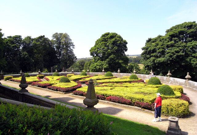
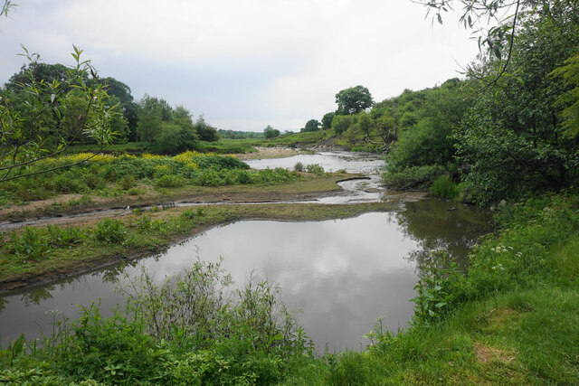
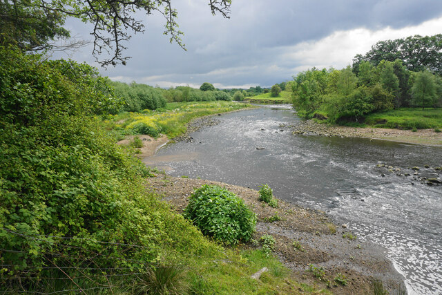
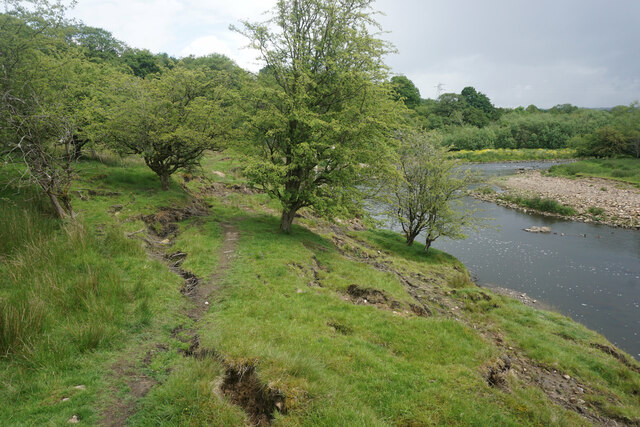
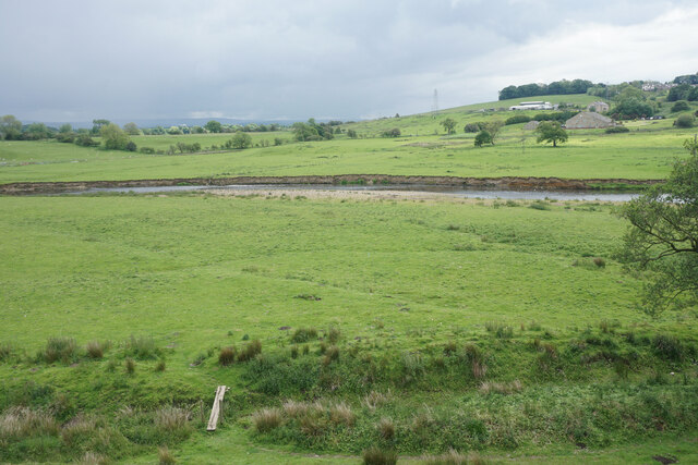
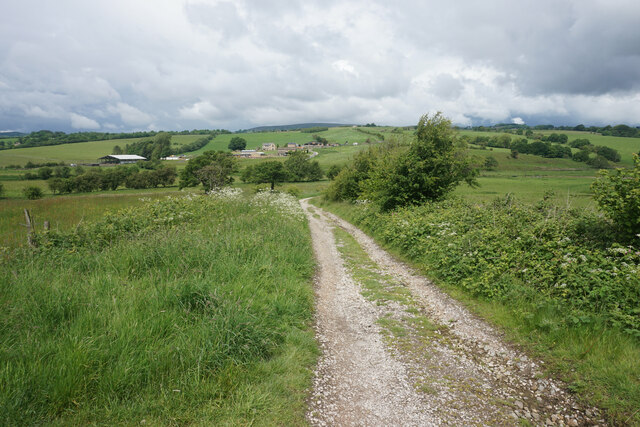
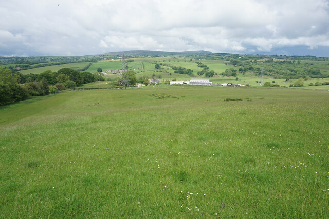
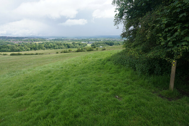
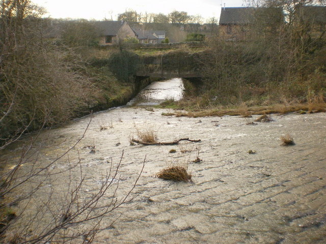
The area is known for its picturesque landscapes and natural beauty, with rolling hills, open fields, and patches of woodland. The River Brun runs through the parish, adding to its scenic charm. The rural setting provides a tranquil environment away from the hustle and bustle of nearby urban areas.
Ightenhill has a rich history dating back to medieval times. The parish is home to several historic landmarks, including Ightenhill Manor, a Grade II listed building with origins in the 16th century. The area is also known for its traditional stone-built cottages, which add to its historical character.
Despite its rural setting, Ightenhill is well-connected to nearby towns and cities. The M65 motorway runs through the parish, providing easy access to the wider region. The town of Burnley is just a short distance away, offering a range of amenities, including shops, schools, and leisure facilities.
Overall, Ightenhill is a peaceful and picturesque civil parish, offering residents a rural lifestyle with easy access to nearby urban areas. Its historical landmarks and natural beauty make it an attractive place to live for those seeking a quieter pace of life.
If you have any feedback on the listing, please let us know in the comments section below.
Ightenhill Images
Images are sourced within 2km of 53.802667/-2.286105 or Grid Reference SD8134. Thanks to Geograph Open Source API. All images are credited.


Ightenhill is located at Grid Ref: SD8134 (Lat: 53.802667, Lng: -2.286105)
Administrative County: Lancashire
District: Burnley
Police Authority: Lancashire
What 3 Words
///zealous.fuzzy.bands. Near Padiham, Lancashire
Nearby Locations
Related Wikis
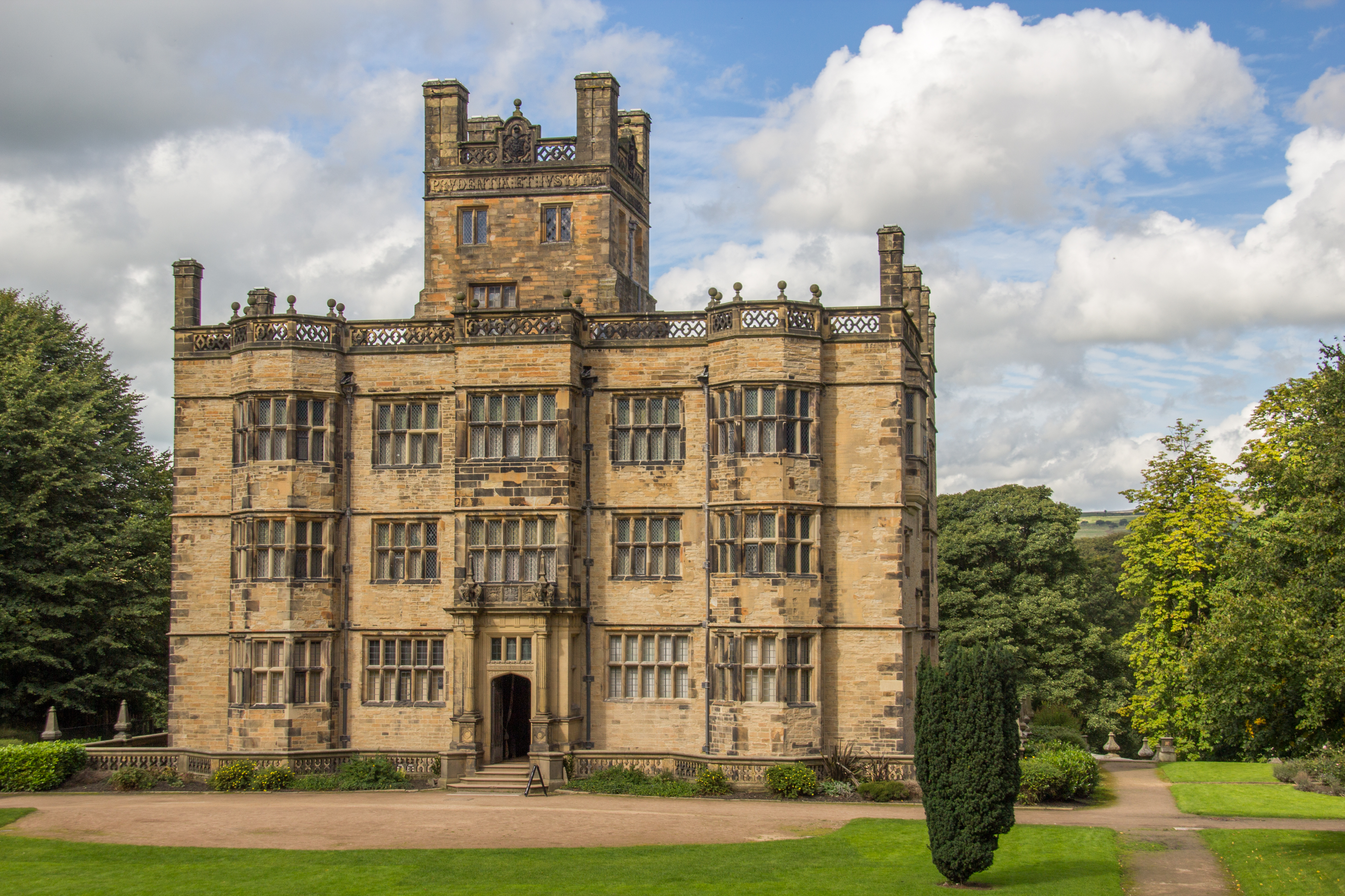
Gawthorpe Hall
Gawthorpe Hall is an Elizabethan country house on the banks of the River Calder, in Ightenhill, a civil parish in the Borough of Burnley, Lancashire, England...

Great Barn, Ightenhill
Great Barn is an historic building in the English civil parish of Ightenhill, Lancashire. Built around 1605 about 100 metres (330 ft) west of Gawthorpe...

Ightenhill
Ightenhill is a civil parish in the Borough of Burnley in Lancashire, England, with a population of 1,975.Since its creation as Ightenhill Park in 1866...

Burnley Grammar School
Burnley Grammar School was latterly, a state-funded selective boys grammar school, situated in Byron Street in Burnley, Lancashire. However, during its...

Burnley High School
Burnley High School is a mixed secondary free school located in the town and Borough of Burnley, Lancashire, England. The school opened in September 2014...

Shuttleworth College, Padiham
Shuttleworth College, formerly Gawthorpe High School, is a mixed 11–16 foundation secondary school located in Padiham, Lancashire, England. == History... ==
Green Brook, Lancashire
Green Brook is a minor river in Lancashire, England. It is 2.32 miles (3.73 km) long, and including tributaries, has the catchment area of 7.02 square...

Gawthorpe (ward)
Gawthorpe is an electoral ward in the non-metropolitan district of Burnley in Lancashire, England. The population of the Burnley Ward at the 2011 census...
Nearby Amenities
Located within 500m of 53.802667,-2.286105Have you been to Ightenhill?
Leave your review of Ightenhill below (or comments, questions and feedback).