Churchwalk Plantation
Wood, Forest in Shropshire
England
Churchwalk Plantation
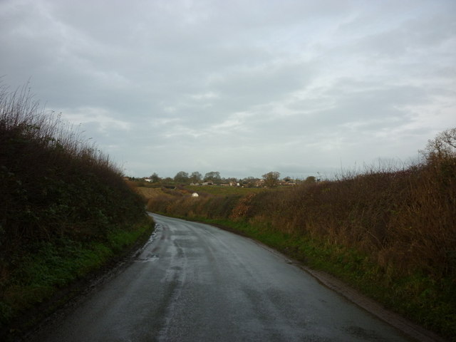
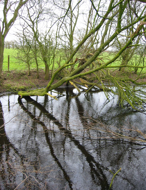
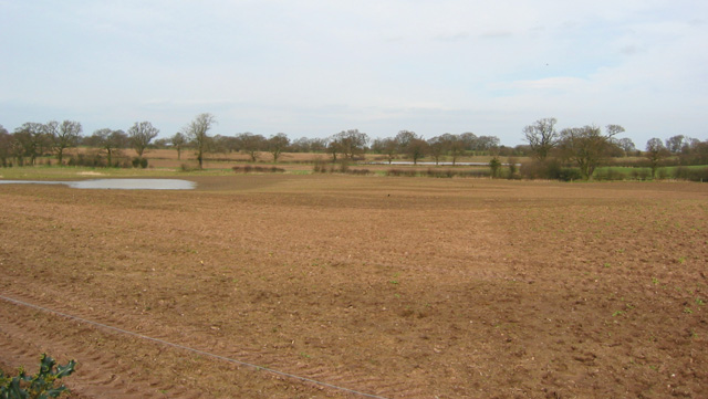
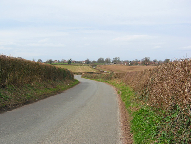
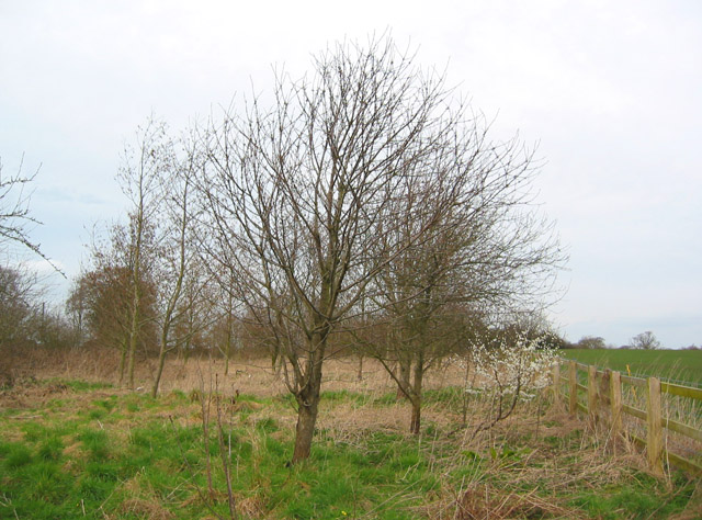
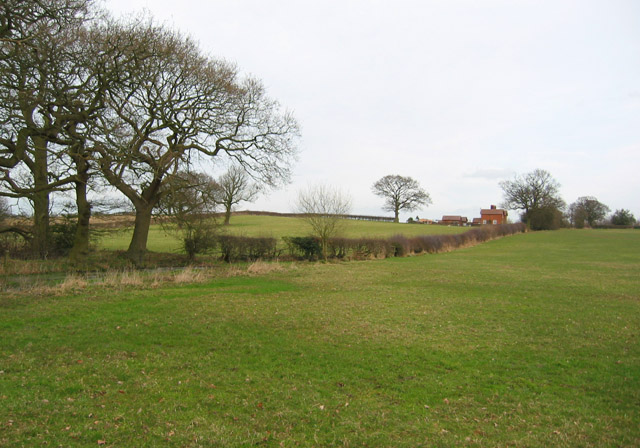
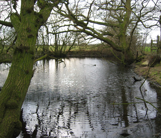
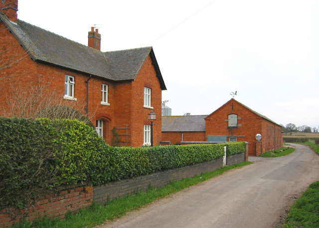
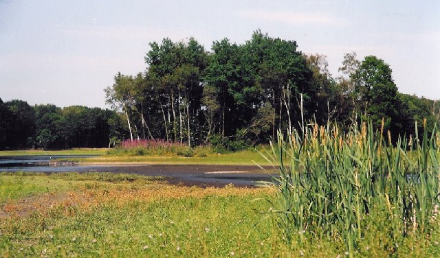
Churchwalk Plantation is a picturesque woodland area located in Shropshire, England. Situated in the heart of a sprawling forest, this plantation offers a serene and natural setting for visitors to explore and enjoy. Covering a substantial area, it is well-known for its diverse range of tree species and abundant wildlife.
The plantation is predominantly composed of deciduous trees, such as oak, beech, and birch, which create a stunning tapestry of colors during the autumn months. This makes it a popular destination for nature enthusiasts and photographers seeking to capture the beauty of the changing seasons. Additionally, the plantation boasts a dense understory of shrubs and wildflowers, adding to its overall charm.
Visitors to Churchwalk Plantation can immerse themselves in its peaceful ambiance by taking leisurely walks along the well-maintained trails that wind through the woods. These trails offer glimpses of the surrounding countryside and provide opportunities for birdwatching and wildlife spotting. It is not uncommon to spot deer, rabbits, and a variety of bird species within the plantation.
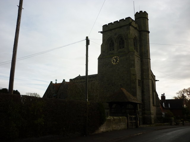
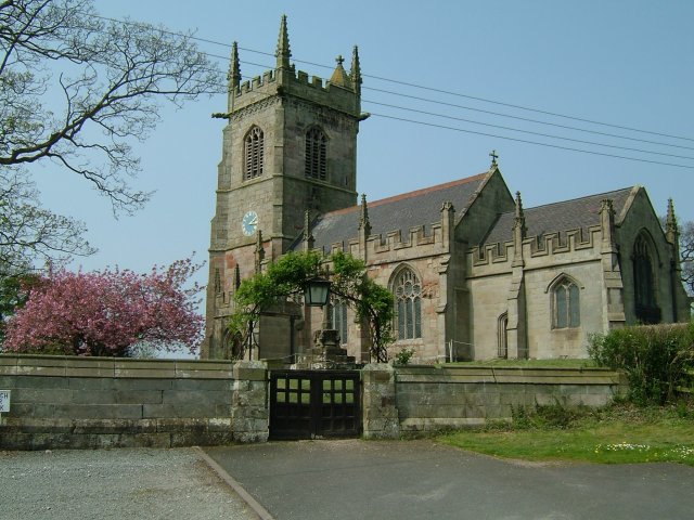
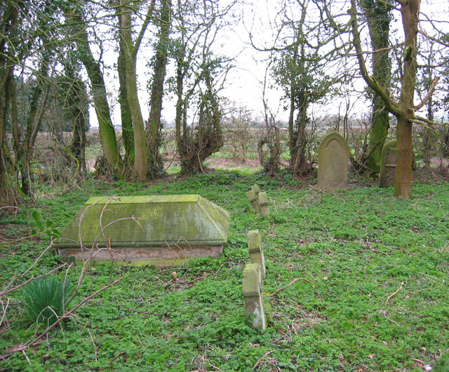
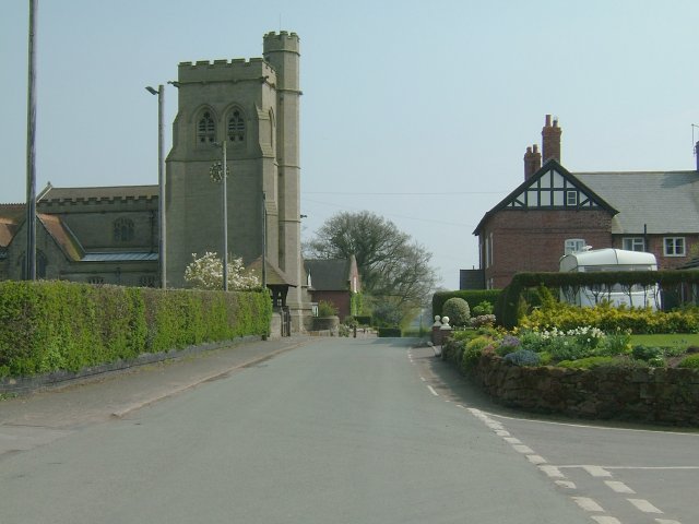
The plantation is also known for its historical significance, with remnants of an ancient church still standing within its boundaries. The church ruins, dating back several centuries, add an air of mystery and intrigue to the area, making it a fascinating destination for history enthusiasts.
Overall, Churchwalk Plantation in Shropshire is a delightful retreat for those seeking tranquility and a connection with nature. Its stunning woodland, diverse flora and fauna, and historical relics make it a must-visit destination for both locals and tourists alike.
If you have any feedback on the listing, please let us know in the comments section below.
Churchwalk Plantation Images
Images are sourced within 2km of 52.931017/-2.5841985 or Grid Reference SJ6037. Thanks to Geograph Open Source API. All images are credited.


Churchwalk Plantation is located at Grid Ref: SJ6037 (Lat: 52.931017, Lng: -2.5841985)
Unitary Authority: Shropshire
Police Authority: West Mercia
What 3 Words
///lazy.according.green. Near Ash, Shropshire
Nearby Locations
Related Wikis
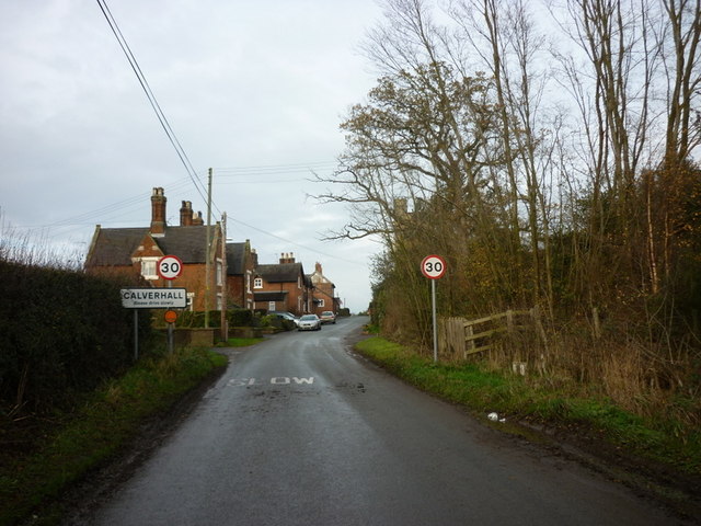
Calverhall
Calverhall is a small village in Shropshire, approximately 5 miles away from the town of Whitchurch. It lies within the civil parish of its neighbouring...

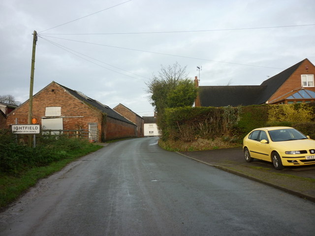
Ightfield
Ightfield is a small village and civil parish in Shropshire, England. The population of the parish at the 2011 census was 529.Within the civil parish boundaries...

Moreton Say
Moreton Say is a small village and sparsely populated civil parish in Shropshire, England, near the borders with Cheshire and Staffordshire, just northwest...

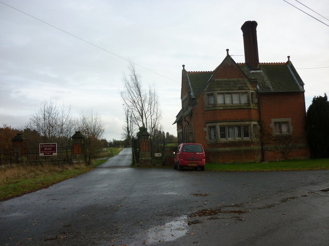
Styche Hall
Styche Hall is a country house near Market Drayton, Shropshire. It was home to the Clive family and is a Grade II listed building. Styche belonged to the...
Bletchley, Shropshire
Bletchley is a village in Shropshire, England, near Market Drayton. It is situated close to the A41 Roman road. == See also == Listed buildings in Moreton...

Whitchurch Rural District, Shropshire
Whitchurch was a rural district in Shropshire, England, from 1894 to 1934. It was formed under the Local Government Act 1894 based on part of the Whitchurch...
Whitchurch Rural
Whitchurch Rural is a civil parish in Shropshire, England. It covers the area (that is in Shropshire) to the south and southeast of the town of Whitchurch...
Whitchurch (Tilstock) Airfield
Whitfield (Tilstock) Airfield is an airfield located in Shropshire, England, close to the village of Prees and 2 miles (3.2 km) east of the village of...
Nearby Amenities
Located within 500m of 52.931017,-2.5841985Have you been to Churchwalk Plantation?
Leave your review of Churchwalk Plantation below (or comments, questions and feedback).