Petwell Wood

Wood, Forest in Gloucestershire

England

Petwell Wood

Stone Stile, Thornbury At the junction of Kington Lane & Kington Road leading SW across a ditch, on Gloucestershire footpath OTH/31. The view looking from the road is <a href="https://www.geograph.org.uk/photo/7175546">ST6290 : Stone Stile, Thornbury</a>.
Stone Stile, Thornbury Credit: Mr Red

Petwell Wood is a picturesque forest located in the county of Gloucestershire, England. Covering an area of approximately 200 acres, it is a popular destination for nature enthusiasts and outdoor adventurers alike. The wood is situated near the charming village of Petwell, surrounded by rolling hills and scenic landscapes.

The wood is primarily composed of deciduous trees, with a diverse range of species including oak, beech, and ash. This creates a vibrant and ever-changing canopy throughout the seasons, offering a breathtaking display of colors in autumn and a lush green oasis in the summer. The forest floor is carpeted with an array of wildflowers, ferns, and mosses, adding to the enchanting atmosphere.

Petwell Wood is crisscrossed with a network of well-maintained footpaths and trails, allowing visitors to explore its beauty at their own pace. These paths wind through the woodland, leading to hidden clearings, babbling brooks, and tranquil ponds, providing ample opportunities for peaceful picnics or quiet contemplation.

The wood is home to a diverse range of wildlife, including deer, foxes, and a variety of bird species, making it a haven for birdwatchers and wildlife enthusiasts. The tranquil environment also attracts photographers and artists, who find inspiration in the natural beauty that surrounds them.

Petwell Wood is a cherished natural gem in Gloucestershire, providing a peaceful retreat for locals and visitors alike. Its serene atmosphere and stunning scenery make it an ideal destination for those seeking solace in nature or a tranquil escape from the hustle and bustle of everyday life.

If you have any feedback on the listing, please let us know in the comments section below.
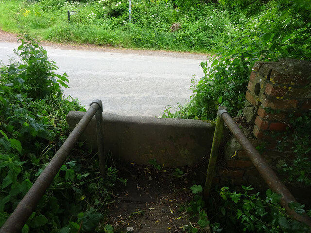
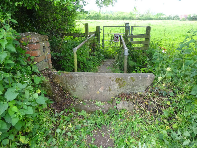
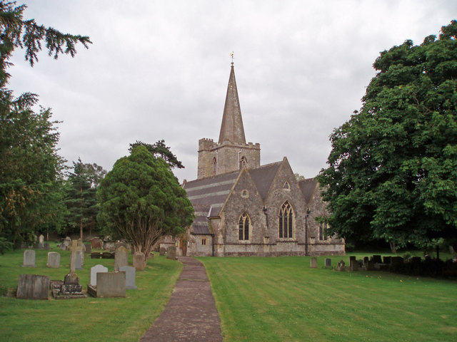
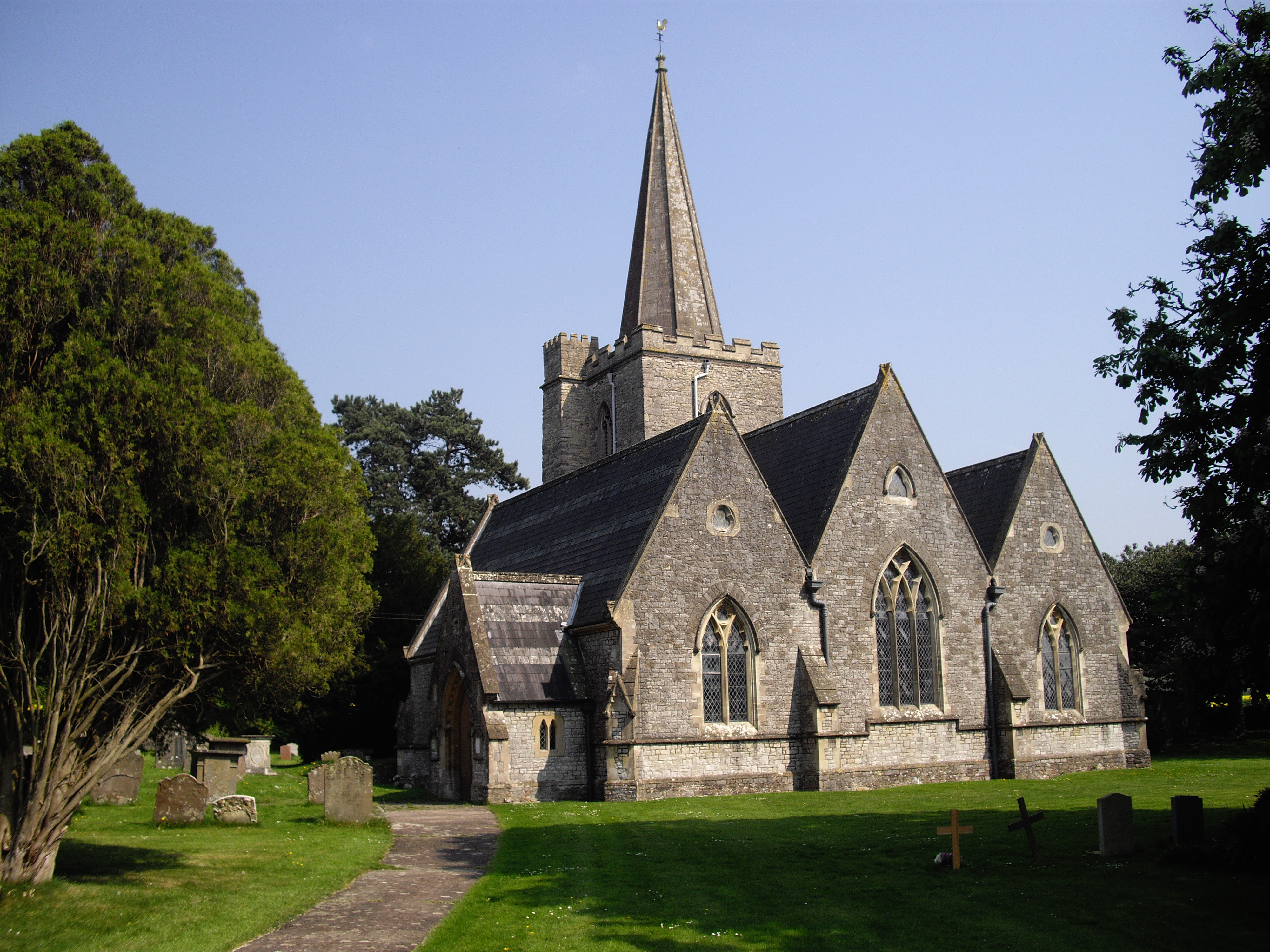
Petwell Wood Images

Images are sourced within 2km of 51.598814/-2.5669395 or Grid Reference ST6089. Thanks to Geograph Open Source API. All images are credited.

Stone Stile, Thornbury At the junction of Kington Lane & Kington Road leading SW across a ditch, on Gloucestershire footpath OTH/31. The view looking from the road is <a href="https://www.geograph.org.uk/photo/7175546">ST6290 : Stone Stile, Thornbury</a>.
Stone Stile, Thornbury
At the junction of Kington Lane & Kington Road leading SW across a ditch, on Gloucestershire footpath OTH/31. The view looking from the road is ST6290 : Stone Stile, Thornbury.
Stone Stile, Thornbury At the junction of Kington Lane & Kington Road leading SW across a ditch, on Gloucestershire footpath OTH/31. The view looking to the road is <a href="https://www.geograph.org.uk/photo/7175542">ST6290 : Stone Stile, Thornbury</a>.
Stone Stile, Thornbury
At the junction of Kington Lane & Kington Road leading SW across a ditch, on Gloucestershire footpath OTH/31. The view looking to the road is ST6290 : Stone Stile, Thornbury.
Converted stone barn
Elberton church St John's church, Elberton.
Elberton church
St John's church, Elberton.
Littleton Treatment Works A somewhat grand entrance driveway to what I have always believed to be a sewage - but I could be wrong!
Littleton Treatment Works
A somewhat grand entrance driveway to what I have always believed to be a sewage - but I could be wrong!
Post Office, New Road, Olveston
Old School House, Elberton Road, Olveston
Elberton Court With entrance guarded by ceremonial wheelie bins.
Elberton Court
With entrance guarded by ceremonial wheelie bins.
Westwing School,  Mumbleys Lane, Thornbury A private secondary school in the 17th century Kyneton House.
Westwing School, Mumbleys Lane, Thornbury
A private secondary school in the 17th century Kyneton House.
Kyneton Park Lodge
Kyneton Park Lodge
Ploughed field, at Gate Farm
Marlwood secondary school, Vattingstone Lane, Alveston
Track to White Cottage, Alveston Down
Windmill House, residential care home, Alveston Road
The Crescent, Old Down
Old Down Sports ground From Alveston Road.
Old Down Sports ground
From Alveston Road.
Mumbleys Lane, Footpath to Thornbury sign
Elberton Church
Elberton Church
Show me another place!

Petwell Wood is located at Grid Ref: ST6089 (Lat: 51.598814, Lng: -2.5669395)

Unitary Authority: South Gloucestershire

Police Authority: Avon and Somerset

What 3 Words

///chef.breakfast.grin. Near Olveston, Gloucestershire

Related Wikis

Elberton, Gloucestershire

Elberton is a small village and former civil parish, now in the parish of Aust, in the South Gloucestershire district, in the ceremonial county of Gloucestershire...

Littleton-upon-Severn

Littleton-upon-Severn is a village and former civil parish, now in the parish of Aust, in the South Gloucestershire district, in the ceremonial county...

Old Down

Old Down is a hamlet in South Gloucestershire, near the larger villages of Olveston and Tockington and a mile west of Alveston. A tourist attraction called...

Olveston

Olveston is a small village and larger parish in South Gloucestershire, England. The parish comprises the villages of Olveston and Tockington, and the...

Nearby Amenities

Located within 500m of 51.598814,-2.5669395
Power: tower
Source: Bing
Lat/Long: 51.5999668/-2.5704033
Power: tower
Source: Bing
Lat/Long: 51.6007313/-2.5654129
Power: pole
Source: Bing
Lat/Long: 51.5944348/-2.5677748
Power: pole
Source: Bing
Lat/Long: 51.5946381/-2.5665991
Power: pole
Source: Bing
Lat/Long: 51.5948298/-2.5654535
Power: pole
Lat/Long: 51.5989189/-2.5741379
Power: pole
Lat/Long: 51.5980547/-2.573585
Power: pole
Lat/Long: 51.5969994/-2.5729518
Power: pole
Lat/Long: 51.5961573/-2.5726664
Traffic Calming: island
Lat/Long: 51.5959052/-2.5703638
The data included in this document is from www.openstreetmap.org. The data is made available under ODbL.

Have you been to Petwell Wood?

Leave your review of Petwell Wood below (or comments, questions and feedback).