Calverhall

Settlement in Shropshire

England

Calverhall

Calverhall towards Ightfield
Calverhall towards Ightfield Credit: Ian S

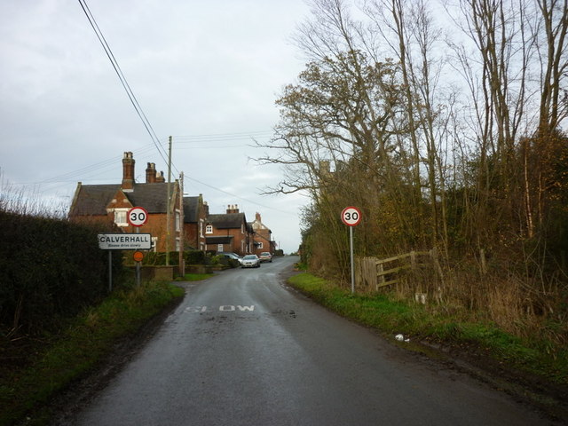
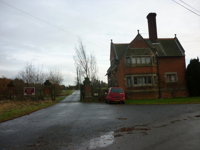
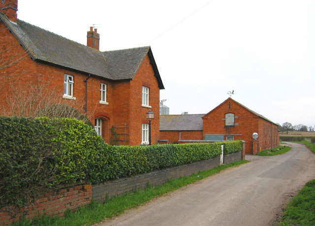
Calverhall is a small village located in the county of Shropshire, England. Situated in the North Shropshire district, it lies approximately 8 miles northeast of the town of Whitchurch and 6 miles southwest of Market Drayton. With a population of around 500 residents, it retains a charming, rural character.

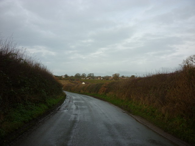
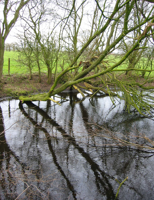
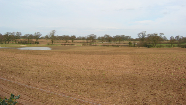
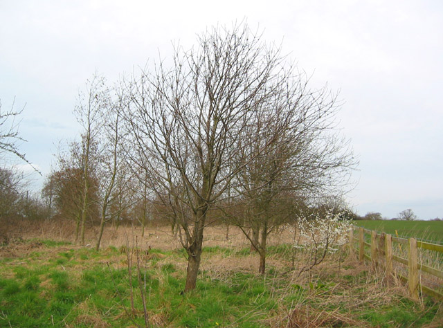
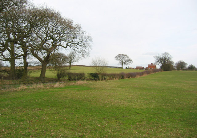
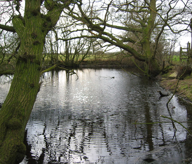
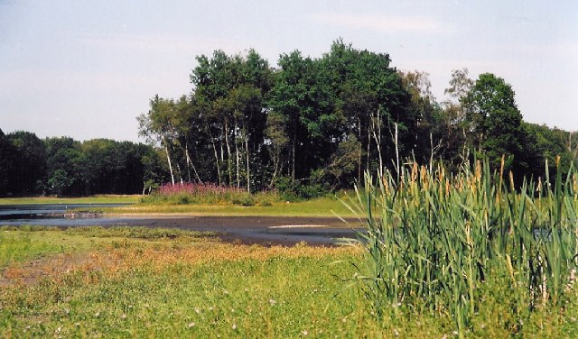
The village is known for its picturesque setting, nestled amidst rolling countryside and surrounded by fields and woodlands. The landscape offers numerous opportunities for outdoor activities such as walking, cycling, and horse riding, making it a popular destination for nature enthusiasts and visitors seeking tranquility.

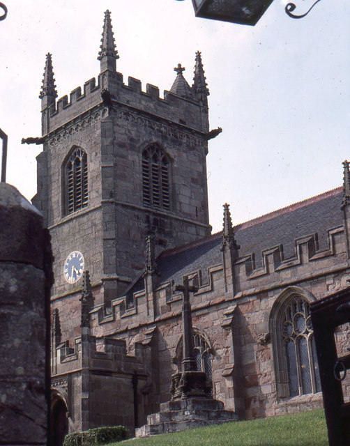
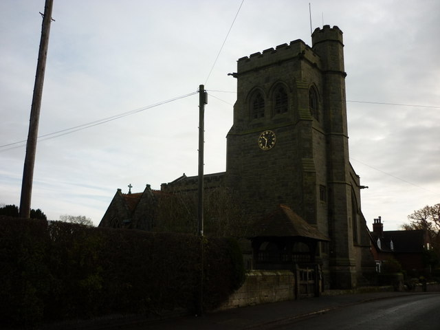
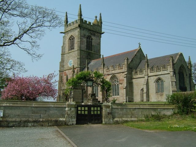
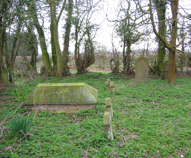
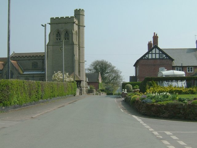
Calverhall is home to a beautiful 12th-century church, St. Chad's, which stands as a testament to its rich history. The church features impressive architecture and stained-glass windows, attracting both locals and tourists alike. Additionally, the village boasts a vibrant community spirit, with various social events and activities taking place throughout the year.

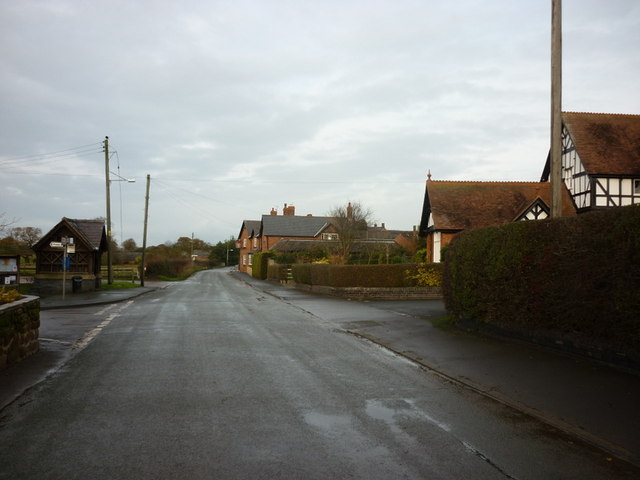
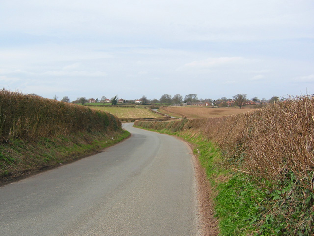
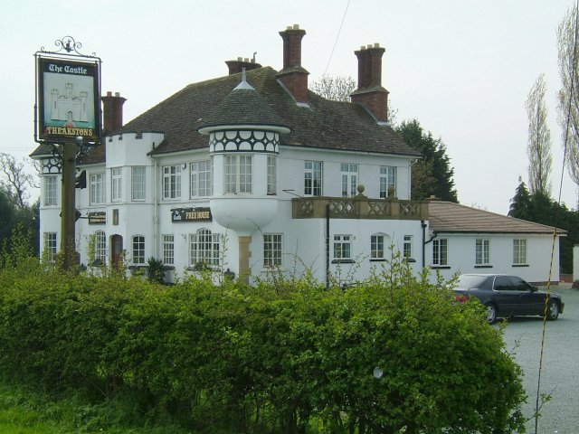
Although small in size, Calverhall benefits from its close proximity to larger towns, providing residents with easy access to amenities and services. The village is well-connected by road, with nearby major routes such as the A41 and A53 ensuring convenient travel to neighboring towns and cities.

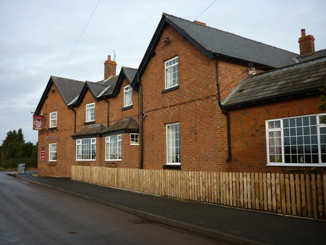
Overall, Calverhall offers a peaceful and idyllic lifestyle, with its scenic surroundings, historical landmarks, and strong sense of community making it an attractive place to live or visit in Shropshire.

If you have any feedback on the listing, please let us know in the comments section below.

Calverhall Images

Images are sourced within 2km of 52.932513/-2.590607 or Grid Reference SJ6037. Thanks to Geograph Open Source API. All images are credited.

Calverhall towards Ightfield
Entering Ightfield
Entering Ightfield
Ightfield: the church from the churchyard gate
Entering Calverhall
Entering Calverhall
The  Lodge at Cloverley Hall
The Lodge at Cloverley Hall
The Church at Calverhall
The Olde Jack public house, Calverhall
Bletchley Road, Calverhall
Ightfield Church Heaven in the Countryside.
Ightfield Church
Heaven in the Countryside.
Mere surrounded by trees This small mere, surrounded by deciduous trees, lies in the middle of sheep pasture. It is crossed by the footpath between Calverhall Road & Ightfield Heath via a plank bridge (see <a href="https://www.geograph.org.uk/photo/361673">SJ5937 : Mere and footbridge</a>)
Mere surrounded by trees
This small mere, surrounded by deciduous trees, lies in the middle of sheep pasture. It is crossed by the footpath between Calverhall Road & Ightfield Heath via a plank bridge (see SJ5937 : Mere and footbridge)
Ploughed field near Corra Bank One of the few arable fields in an area largely given to sheep pasture. Two of the several small meres in this area are visible. View from Calverhall Road immediately north of Corra Bank
Ploughed field near Corra Bank
One of the few arable fields in an area largely given to sheep pasture. Two of the several small meres in this area are visible. View from Calverhall Road immediately north of Corra Bank
View towards Ightfield on Calverhall Road Calverhall Road is a winding single-track lane between the adjacent villages of Ightfield & Calverhall. View towards Ightfield from the high point of the lane just north of Corra Bank
View towards Ightfield on Calverhall Road
Calverhall Road is a winding single-track lane between the adjacent villages of Ightfield & Calverhall. View towards Ightfield from the high point of the lane just north of Corra Bank
Young wood by Calverhall Road A small fenced area of recently planted loose deciduous woodland lies north of Calverhall Road, containing oak, hazel and other trees
Young wood by Calverhall Road
A small fenced area of recently planted loose deciduous woodland lies north of Calverhall Road, containing oak, hazel and other trees
Sheep pasture south of Corra Bank This view of undulating sheep pasture with hedgerows and occasional mature deciduous trees is typical of the area south of Calverhall Road. The farm (right) is Corra Bank, which stands near the top of a local high point at around 110m. View from the public footpath between Calverhall Road and Ightfield Heath, near <a href="https://www.geograph.org.uk/photo/361535">SJ5937 : Mere surrounded by trees</a>
Sheep pasture south of Corra Bank
This view of undulating sheep pasture with hedgerows and occasional mature deciduous trees is typical of the area south of Calverhall Road. The farm (right) is Corra Bank, which stands near the top of a local high point at around 110m. View from the public footpath between Calverhall Road and Ightfield Heath, near SJ5937 : Mere surrounded by trees
Mere and footbridge This small mere, surrounded by deciduous trees, lies in the middle of sheep pasture. It is crossed by the footpath between Calverhall Road & Ightfield Heath via a plank footbridge (right). Another view is shown in <a href="https://www.geograph.org.uk/photo/361535">SJ5937 : Mere surrounded by trees</a>
Mere and footbridge
This small mere, surrounded by deciduous trees, lies in the middle of sheep pasture. It is crossed by the footpath between Calverhall Road & Ightfield Heath via a plank footbridge (right). Another view is shown in SJ5937 : Mere surrounded by trees
Maltkiln Farm, near Ightfield Heath A typical red-brick farmhouse and barn, situated on the minor single-track lane through Ightfield Heath, between Ightfield Heath & Ightfield
Maltkiln Farm, near Ightfield Heath
A typical red-brick farmhouse and barn, situated on the minor single-track lane through Ightfield Heath, between Ightfield Heath & Ightfield
Cemetery south of Ightfield A tiny fenced cemetery containing around eleven graves lies in the midst of pasture to the east of the lane between Ightfield & Ightfield Heath. It also straddles <a href="https://www.geograph.org.uk/gridref/SJ5938">SJ5938</a>
Cemetery south of Ightfield
A tiny fenced cemetery containing around eleven graves lies in the midst of pasture to the east of the lane between Ightfield & Ightfield Heath. It also straddles SJ5938
Top dressing fertiliser at Kempley
Show me another place!

Calverhall is located at Grid Ref: SJ6037 (Lat: 52.932513, Lng: -2.590607)

Unitary Authority: Shropshire

Police Authority: West Mercia

What 3 Words

///powder.casual.grins. Near Ash, Shropshire

Related Wikis

Calverhall

Calverhall is a small village in Shropshire, approximately 5 miles away from the town of Whitchurch. It lies within the civil parish of its neighbouring...
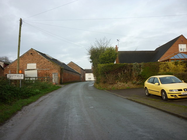
Ightfield

Ightfield is a small village and civil parish in Shropshire, England. The population of the parish at the 2011 census was 529.Within the civil parish boundaries...

Whitchurch Rural District, Shropshire

Whitchurch was a rural district in Shropshire, England, from 1894 to 1934. It was formed under the Local Government Act 1894 based on part of the Whitchurch...

Whitchurch Rural

Whitchurch Rural is a civil parish in Shropshire, England. It covers the area (that is in Shropshire) to the south and southeast of the town of Whitchurch...

Moreton Say

Moreton Say is a small village and sparsely populated civil parish in Shropshire, England, near the borders with Cheshire and Staffordshire, just northwest...

Whitchurch (Tilstock) Airfield

Whitfield (Tilstock) Airfield is an airfield located in Shropshire, England, close to the village of Prees and 2 miles (3.2 km) east of the village of...

Prees Higher Heath

Prees Higher Heath (commonly shortened to Higher Heath) is a large village located within the civil parish of Prees in north Shropshire, England. ��2...

Bletchley, Shropshire

Bletchley is a village in Shropshire, England, near Market Drayton. It is situated close to the A41 Roman road. == See also == Listed buildings in Moreton...

Nearby Amenities

Located within 500m of 52.932513,-2.590607
Calverhall
Place: village
Wikidata: Q3811679
Lat/Long: 52.9322997/-2.5926253
The data included in this document is from www.openstreetmap.org. The data is made available under ODbL.

Have you been to Calverhall?

Leave your review of Calverhall below (or comments, questions and feedback).