Claughton
Civil Parish in Lancashire Wyre
England
Claughton
Claughton is a civil parish located in the district of Lancashire, England. It is situated near the city of Lancaster and is part of the Wyre borough. The parish covers an area of approximately 6 square miles and has a population of around 500.
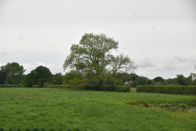
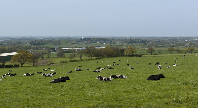
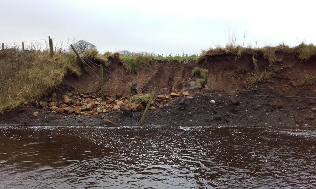
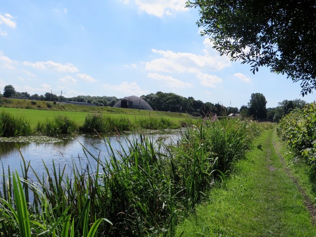
The village of Claughton is the main settlement within the parish. It is a small rural community with a charming countryside atmosphere. The area is known for its picturesque landscapes, including rolling hills, fields, and woodland areas. It is a popular destination for outdoor enthusiasts, offering opportunities for hiking, cycling, and nature walks.
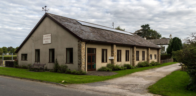
The village itself has a close-knit community, with a range of amenities to cater to the needs of its residents. These include a primary school, a village hall, and a local pub. The parish also has a historic church, St. Chad's, which dates back to the 12th century. The church serves as a focal point for the community and holds regular services and events.
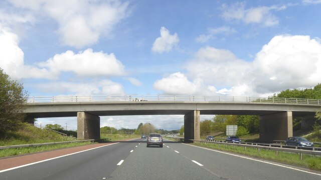
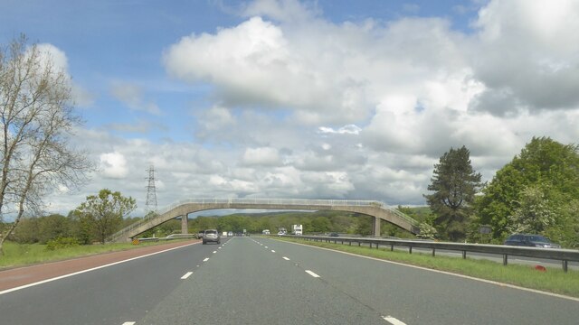
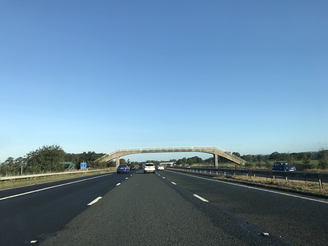
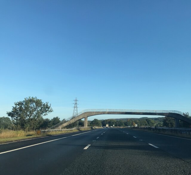
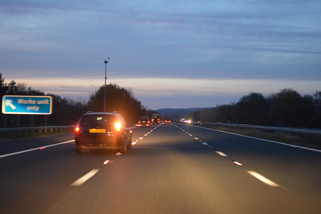
In terms of transportation, Claughton is well-connected to nearby towns and cities. The M6 motorway is easily accessible, providing convenient links to Lancaster and beyond. Public transportation options include regular bus services that connect the village to surrounding areas.
Overall, Claughton offers a peaceful and idyllic setting for residents and visitors alike, with its natural beauty and strong sense of community.
If you have any feedback on the listing, please let us know in the comments section below.
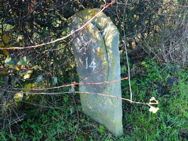
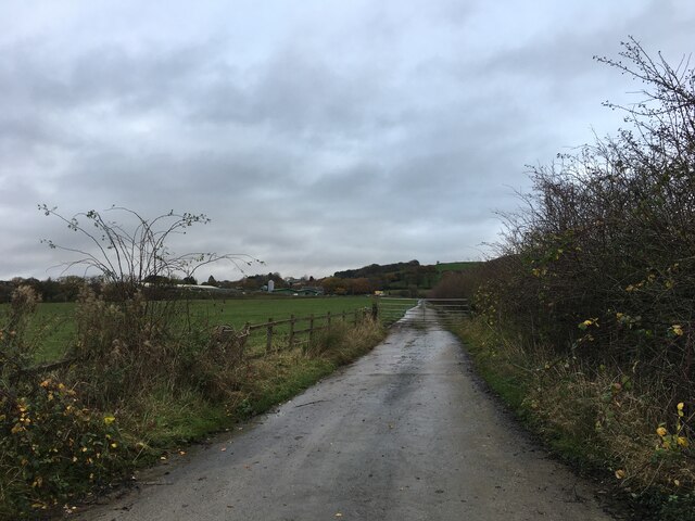
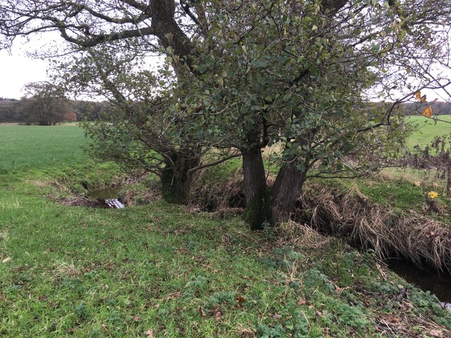
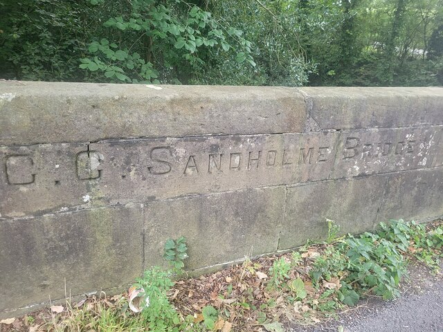
Claughton Images
Images are sourced within 2km of 53.875838/-2.724149 or Grid Reference SD5242. Thanks to Geograph Open Source API. All images are credited.


Claughton is located at Grid Ref: SD5242 (Lat: 53.875838, Lng: -2.724149)
Administrative County: Lancashire
District: Wyre
Police Authority: Lancashire
What 3 Words
///valued.steeped.vanilla. Near Catterall, Lancashire
Nearby Locations
Related Wikis

Claughton, Wyre
Claughton ( KLY-tən) is a sparse village and civil parish in the county of Lancashire in the north of England, in the Borough of Wyre. The population of...

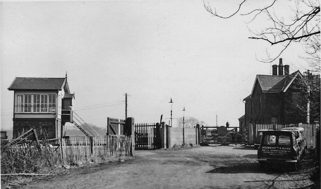
Garstang and Catterall railway station
Garstang and Catterall railway station served as the interchange between the Garstang and Knot-End Railway and the London and North Western Railway, in...
Brock railway station
Brock railway station served the hamlet of Brock near Bilsborrow, Lancashire, England, from 1849 to 1939 on the Lancaster and Preston Junction Railway...

Catterall
Catterall is a village and civil parish in the borough of Wyre, Lancashire, England. Historically in the Amounderness Hundred, it is situated on the A6...
Nearby Amenities
Located within 500m of 53.875838,-2.724149Have you been to Claughton?
Leave your review of Claughton below (or comments, questions and feedback).