Lower Carr Wood
Wood, Forest in Lancashire Wyre
England
Lower Carr Wood
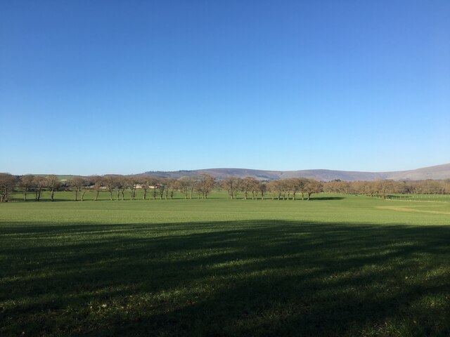
Lower Carr Wood is a picturesque woodland located in Lancashire, England. Covering an area of approximately 20 acres, the wood is known for its natural beauty and diverse range of flora and fauna. It is situated near the village of Carr, offering a tranquil escape from the bustling city life.
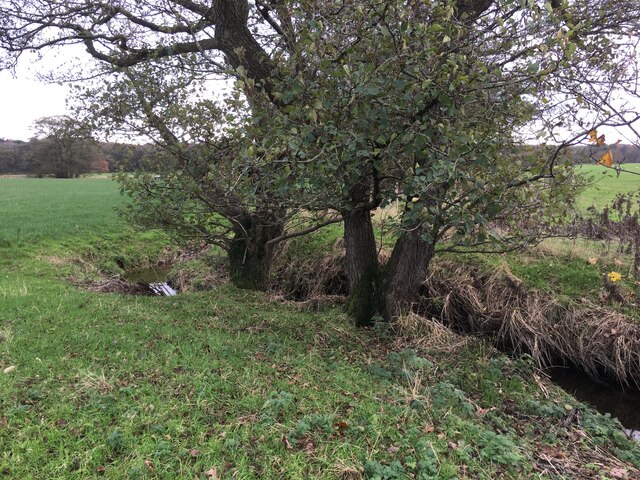
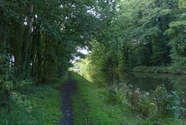
The wood consists primarily of deciduous trees, such as oak, birch, and beech, which provide a stunning display of colors during the autumn months. The dense canopy of the trees creates a shaded and cool environment, perfect for leisurely walks or picnics on warm summer days.
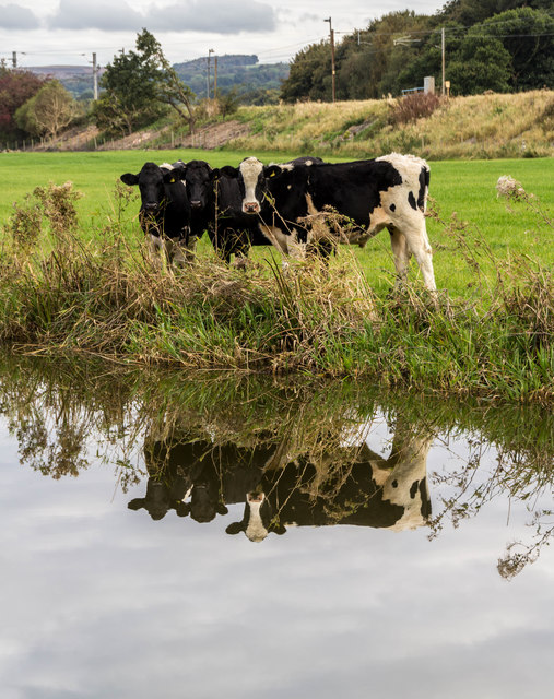
Lower Carr Wood is home to a variety of wildlife, including small mammals like squirrels, rabbits, and voles. It is also a haven for birdwatchers, with several species of birds nesting and foraging within the wood, including woodpeckers, thrushes, and owls. The wood offers excellent opportunities for nature enthusiasts to observe and appreciate the local wildlife.
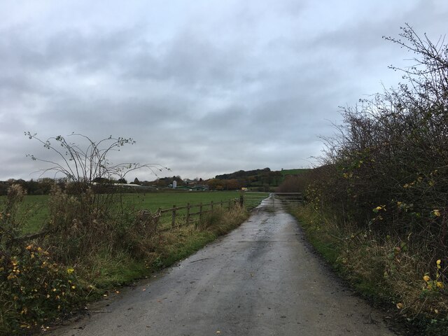
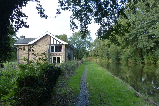
Visitors to Lower Carr Wood can explore its network of well-maintained footpaths that wind through the wood, offering stunning views and peaceful surroundings. These paths allow visitors to experience the natural beauty of the wood and its diverse ecosystem up close.
With its accessibility and natural charm, Lower Carr Wood is a popular destination for local residents and tourists alike. Whether it's for a leisurely stroll, a family day out, or a nature walk, the wood offers a serene and enchanting environment for all to enjoy.
If you have any feedback on the listing, please let us know in the comments section below.
Lower Carr Wood Images
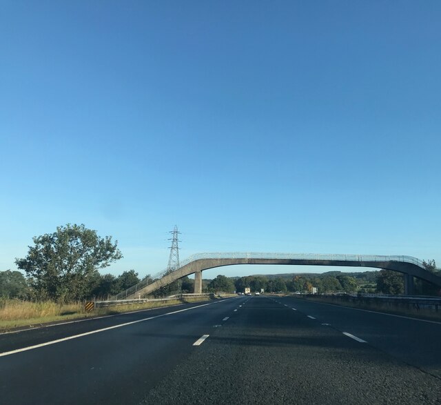
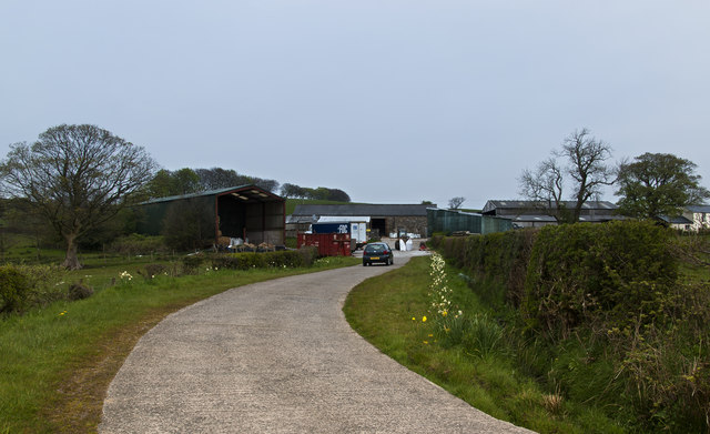
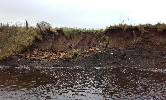
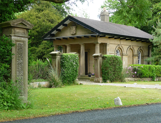
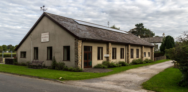
Images are sourced within 2km of 53.876163/-2.7192842 or Grid Reference SD5242. Thanks to Geograph Open Source API. All images are credited.


Lower Carr Wood is located at Grid Ref: SD5242 (Lat: 53.876163, Lng: -2.7192842)
Administrative County: Lancashire
District: Wyre
Police Authority: Lancashire
What 3 Words
///gravitate.bongo.verse. Near Catterall, Lancashire
Nearby Locations
Related Wikis

Claughton, Wyre
Claughton ( KLY-tən) is a sparse village and civil parish in the county of Lancashire in the north of England, in the Borough of Wyre. The population of...

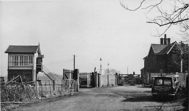
Garstang and Catterall railway station
Garstang and Catterall railway station served as the interchange between the Garstang and Knot-End Railway and the London and North Western Railway, in...
Brock railway station
Brock railway station served the hamlet of Brock near Bilsborrow, Lancashire, England, from 1849 to 1939 on the Lancaster and Preston Junction Railway...

Catterall
Catterall is a village and civil parish in the borough of Wyre, Lancashire, England. Historically in the Amounderness Hundred, it is situated on the A6...
Nearby Amenities
Located within 500m of 53.876163,-2.7192842Have you been to Lower Carr Wood?
Leave your review of Lower Carr Wood below (or comments, questions and feedback).