Ashgrove Wood
Wood, Forest in Herefordshire
England
Ashgrove Wood
Ashgrove Wood is a picturesque woodland located in the county of Herefordshire, England. This enchanting forest covers an area of approximately 50 acres and is renowned for its natural beauty and diverse ecosystem. It is situated near the village of Ashgrove, which adds to its charm and accessibility.
The wood is predominantly composed of deciduous trees, including oak, beech, and ash, which create a stunning canopy overhead. The forest floor is carpeted with a rich variety of flora, such as bluebells, wild garlic, and ferns, adding to the overall allure of the woodland.
Ashgrove Wood is a haven for wildlife enthusiasts and nature lovers alike. The forest is home to various species of birds, including woodpeckers, owls, and songbirds, which fill the air with their melodious songs. Small mammals, such as squirrels, rabbits, and foxes, can also be spotted within the wood, adding to the sense of tranquility and natural diversity.
The wood offers several well-maintained walking trails, enabling visitors to explore its beauty at their own pace. These trails wind through the forest, leading to hidden clearings and serene spots, perfect for picnics or simply immersing oneself in the peaceful surroundings.
Ashgrove Wood is not only a haven for wildlife but also serves as an important ecological asset. The forest supports a complex network of organisms, contributing to the overall health and balance of the local ecosystem.
Overall, Ashgrove Wood is a captivating woodland that offers a serene escape from the hustle and bustle of everyday life. Its natural beauty, diverse wildlife, and peaceful ambiance make it a must-visit destination for nature enthusiasts and those seeking solace in the beauty of the outdoors.
If you have any feedback on the listing, please let us know in the comments section below.
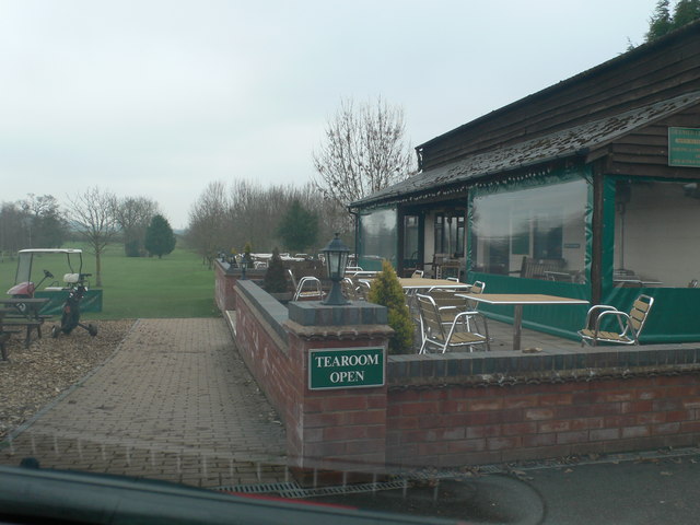
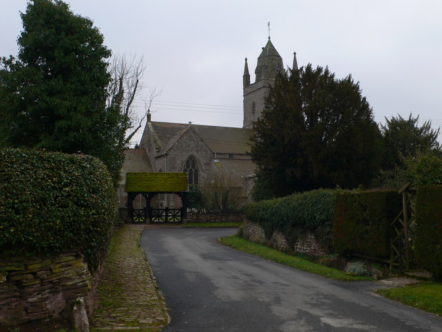
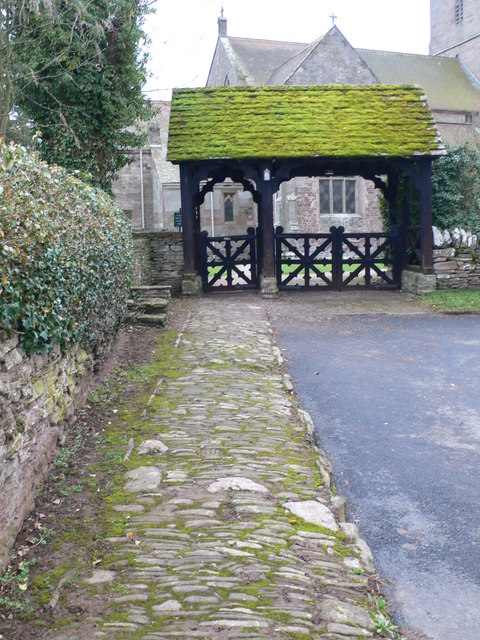
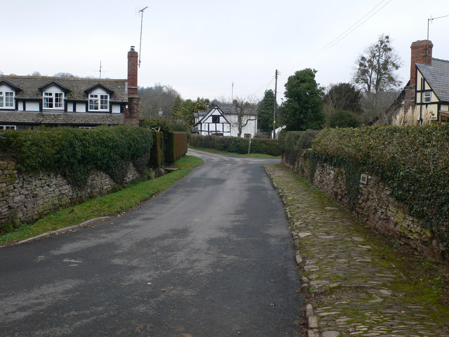
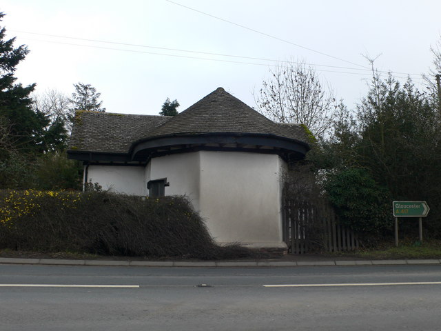
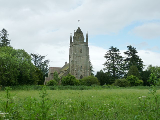
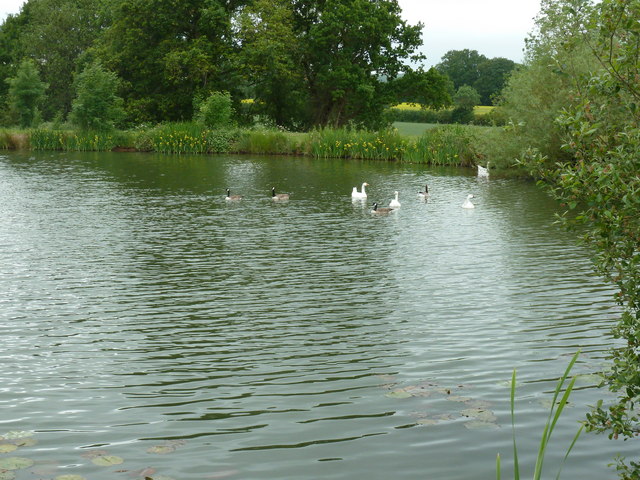
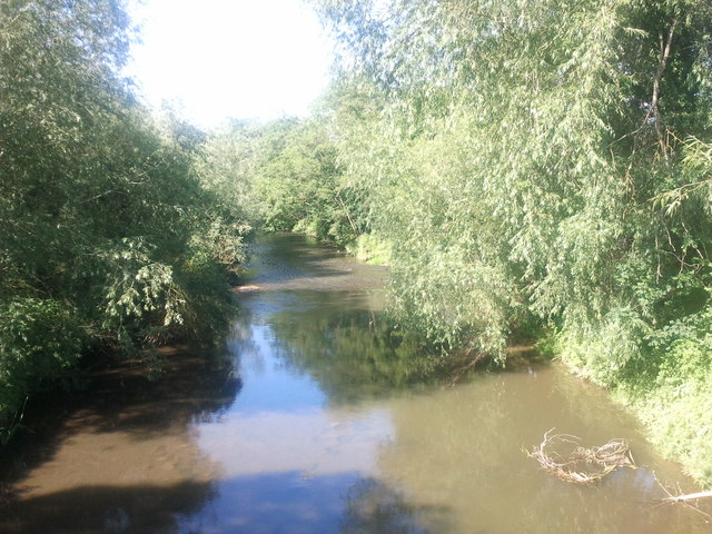
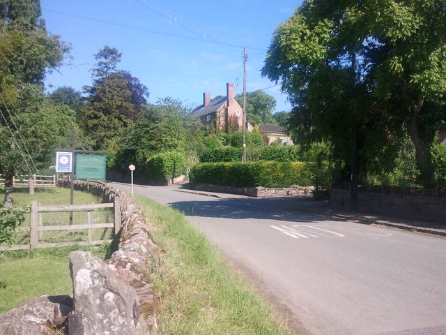
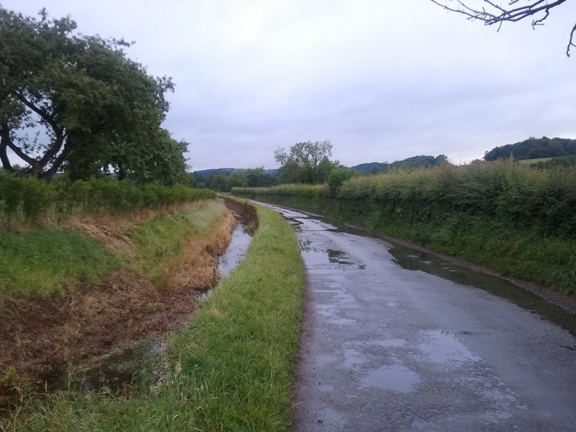
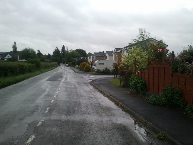
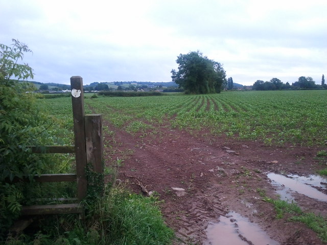
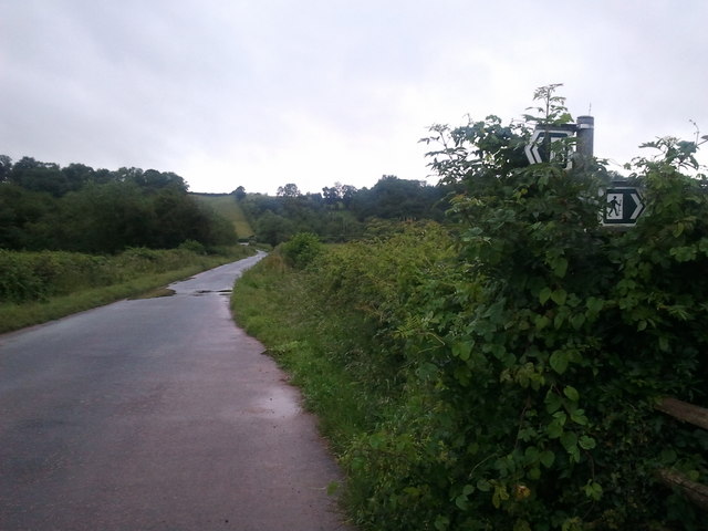
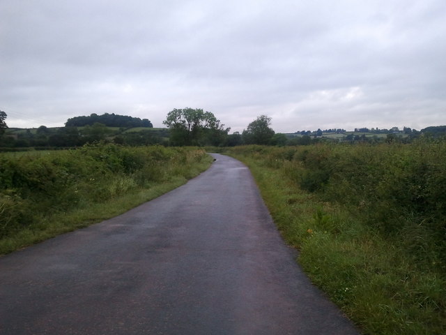
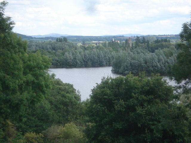
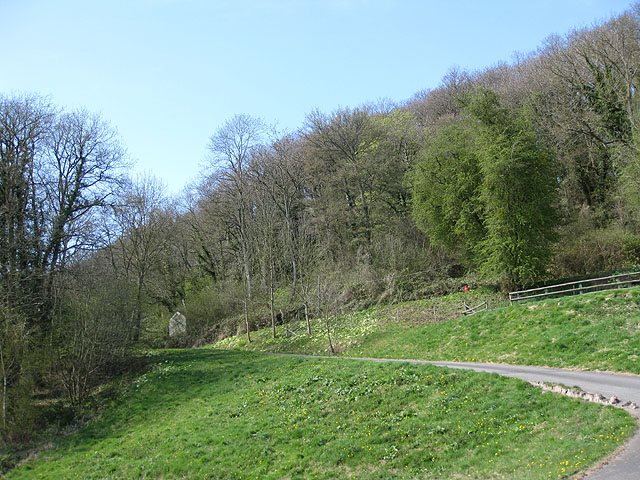
Ashgrove Wood Images
Images are sourced within 2km of 52.151645/-2.6912443 or Grid Reference SO5250. Thanks to Geograph Open Source API. All images are credited.


Ashgrove Wood is located at Grid Ref: SO5250 (Lat: 52.151645, Lng: -2.6912443)
Unitary Authority: County of Herefordshire
Police Authority: West Mercia
What 3 Words
///boosted.ankle.motorist. Near Bodenham, Herefordshire
Nearby Locations
Related Wikis
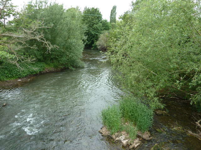
Bodenham
Bodenham is a village and civil parish in Herefordshire, England, and on a bend in the River Lugg, about seven miles south of Leominster. According to...

Dinmore railway station (England)
Dinmore railway station served the villages of Bodenham and Hope under Dinmore, Herefordshire, England between 1853 and 1958. == History == The main line...

Dinmore Tunnel
Dinmore Tunnel is the name given to two railway tunnels located on the former Shrewsbury and Hereford Railway (S&HR) line between Hereford station and...

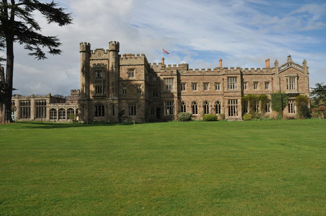
Hampton Court Castle
Hampton Court Castle, also known as Hampton Court, is a castellated country house in the English county of Herefordshire. The house is in the parish of...
Dinmore Hill
Dinmore Hill rises steeply above the River Lugg in Herefordshire, England and is effectively the prominent eastern ridge of an area of high ground which...

Queen's Wood Country Park
Queen's Wood Country Park is the only designated country park in the county of Herefordshire. A tourist attraction on Dinmore Hill, it has two components...

Hope under Dinmore
Hope under Dinmore is a village and civil parish in Herefordshire, England. The village is on the A49 road, 4 miles (6 km) south of Leominster and 9 miles...

Marden, Herefordshire
Marden is a village and civil parish in the English county of Herefordshire. Marden village is approximately 7 miles (11 km) due north of the city of Hereford...
Nearby Amenities
Located within 500m of 52.151645,-2.6912443Have you been to Ashgrove Wood?
Leave your review of Ashgrove Wood below (or comments, questions and feedback).