Litmarsh

Settlement in Herefordshire

England

Litmarsh

St Michael & All Angels, Bodenham The parish church of St Michael and All Angels at Bodenham is set in a beautiful location beside the peaceful River Lugg. The church is primarily 14th century, in the Decorated Gothic style. The church consists of a chancel, a 3-bay nave with clerestory, south and north aisles, and a solid west tower on a square plan topped by a truncated lantern spire.
St Michael & All Angels, Bodenham Credit: Eirian Evans

Litmarsh is a quaint village located in the county of Herefordshire, England. Situated amidst the picturesque countryside, this idyllic settlement offers a tranquil and peaceful environment for residents and visitors alike. With a population of approximately 300, Litmarsh retains a close-knit and friendly community spirit.

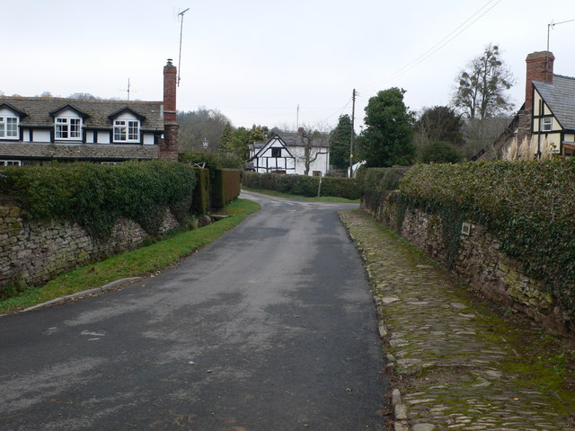
The village is known for its charming thatched cottages and traditional architecture, which add to its rustic charm. The surrounding landscape is dominated by rolling hills, lush green meadows, and picturesque farmland, creating a breathtaking backdrop for outdoor enthusiasts.

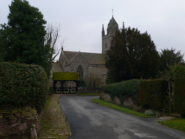
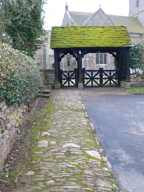
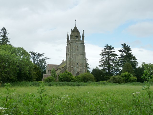
Litmarsh boasts a rich history, with evidence of human habitation dating back to the Roman era. The area is dotted with historical landmarks, such as the medieval St. Mary's Church, which showcases stunning Gothic architecture and serves as a reminder of the village's heritage.

Despite its small size, Litmarsh offers a range of amenities to cater to the needs of its residents. The village has a local pub, The Red Lion, where locals and visitors can enjoy a pint of traditional ale and sample hearty British cuisine.

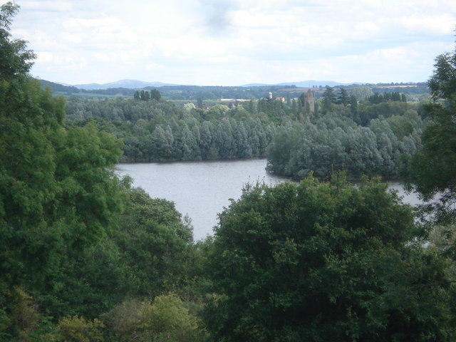
The surrounding countryside provides ample opportunities for outdoor activities, including hiking, cycling, and exploring the nearby Herefordshire Trail. Nature enthusiasts can also visit the nearby Bodenham Lake, a designated nature reserve known for its diverse bird population and scenic walking trails.

Litmarsh is conveniently located within close proximity to the city of Hereford, making it an ideal place for those seeking a peaceful rural lifestyle while still having access to urban amenities.

If you have any feedback on the listing, please let us know in the comments section below.
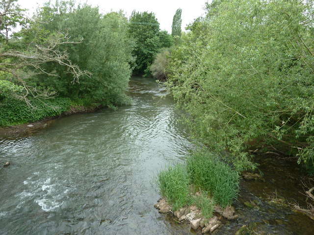
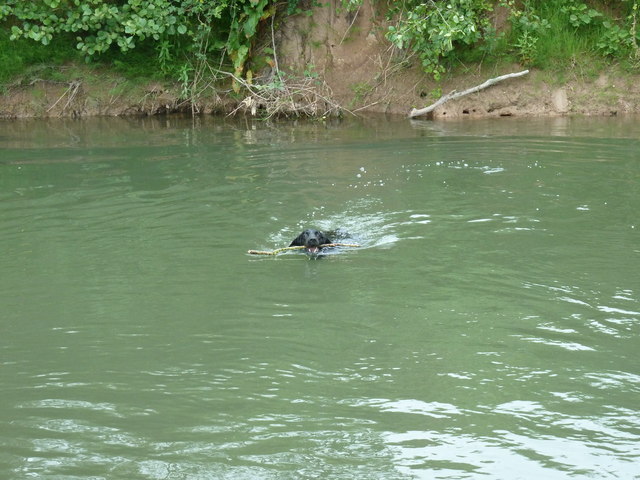
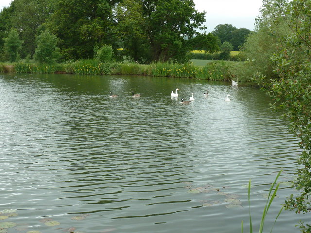
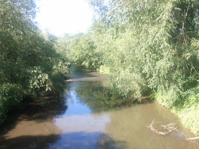
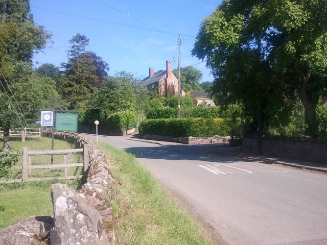
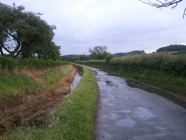
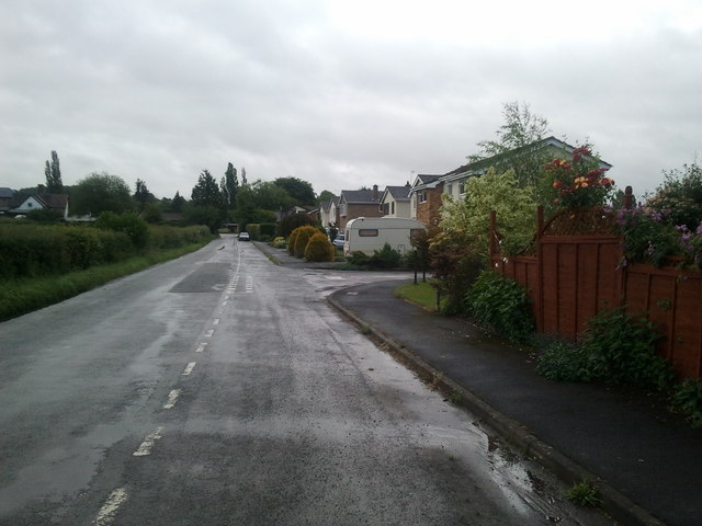
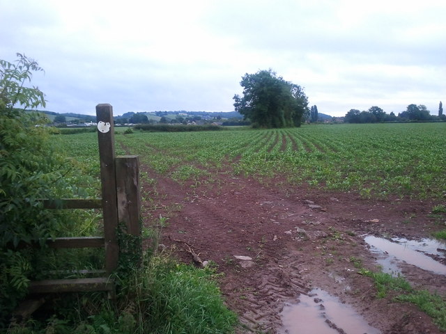
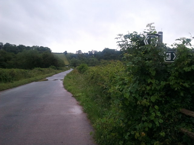
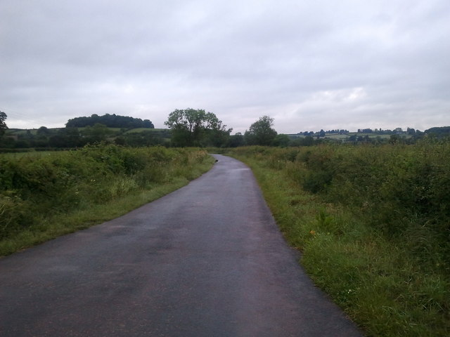
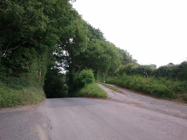
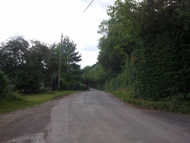
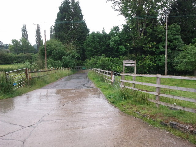
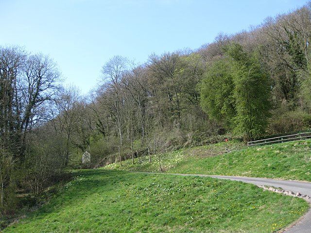
Litmarsh Images

Images are sourced within 2km of 52.146557/-2.6910632 or Grid Reference SO5250. Thanks to Geograph Open Source API. All images are credited.

St Michael & All Angels, Bodenham The parish church of St Michael and All Angels at Bodenham is set in a beautiful location beside the peaceful River Lugg. The church is primarily 14th century, in the Decorated Gothic style. The church consists of a chancel, a 3-bay nave with clerestory, south and north aisles, and a solid west tower on a square plan topped by a truncated lantern spire.
St Michael & All Angels, Bodenham
The parish church of St Michael and All Angels at Bodenham is set in a beautiful location beside the peaceful River Lugg. The church is primarily 14th century, in the Decorated Gothic style. The church consists of a chancel, a 3-bay nave with clerestory, south and north aisles, and a solid west tower on a square plan topped by a truncated lantern spire.
Path to St Michael's  Ancient stone pavement leading to St Michael's & All Angels, Bodenham
Path to St Michael's
Ancient stone pavement leading to St Michael's & All Angels, Bodenham
Bodenham, Church Lane Looking back towards the village from the church.
Bodenham, Church Lane
Looking back towards the village from the church.
St Michael's and All Angels church Bodenham
River Lugg at Bodenham
Doggy paddling in the River Lugg
Fishing lake near Little Berrington
River Lugg viewed from Bodenham Bridge
House at Bodenham, viewed from the bridge
Lane and drain at Bodenham, looking west
Houses in Bodenham, looking east towards England's Gate
Very wet public footpath near Bodenham
Footpath crossing lane, near Bodenham
Lane near Bodenham
Lane near Bodenham
Ex railway station at Dinmore Hill
Steep hill to the left, bridleway to the right
Lane to Marden
Lane to Marden
Track to Bodenham Lakes nature reserve
Show me another place!

Litmarsh is located at Grid Ref: SO5250 (Lat: 52.146557, Lng: -2.6910632)

Unitary Authority: County of Herefordshire

Police Authority: West Mercia

What 3 Words

///earmarked.remain.cautious. Near Bodenham, Herefordshire

Nearby Locations

Litmarsh Ashgrove Wood

Related Wikis

Bodenham

Bodenham is a village and civil parish in Herefordshire, England, and on a bend in the River Lugg, about seven miles south of Leominster. According to...

Dinmore railway station (England)

Dinmore railway station served the villages of Bodenham and Hope under Dinmore, Herefordshire, England between 1853 and 1958. == History == The main line...
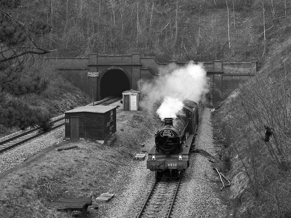
Dinmore Tunnel

Dinmore Tunnel is the name given to two railway tunnels located on the former Shrewsbury and Hereford Railway (S&HR) line between Hereford station and...

Dinmore Hill

Dinmore Hill rises steeply above the River Lugg in Herefordshire, England and is effectively the prominent eastern ridge of an area of high ground which...

Marden, Herefordshire

Marden is a village and civil parish in the English county of Herefordshire. Marden village is approximately 7 miles (11 km) due north of the city of Hereford...

Hampton Court Castle

Hampton Court Castle, also known as Hampton Court, is a castellated country house in the English county of Herefordshire. The house is in the parish of...

Queen's Wood Country Park

Queen's Wood Country Park is the only designated country park in the county of Herefordshire. A tourist attraction on Dinmore Hill, it has two components...

Amberley, Herefordshire

Amberley is a settlement in the civil parish of Marden, in Herefordshire, England. Recorded in the Domesday Book, it was in the hundred of Tornelaus. In...

Nearby Amenities

Located within 500m of 52.146557,-2.6910632
Bus Stop
Vauld Turn
Naptan AtcoCode: 2090A112300
Naptan Bearing: W
Naptan BusStopType: CUS
Naptan CommonName: Vauld Turn
Naptan Indicator: adj
Naptan Landmark: Vauld Turn
Naptan NaptanCode: heradpad
Naptan Street: Litmarsh - Marden road
Naptan Verified: no
Source: naptan_import
Lat/Long: 52.1465084/-2.6921796
Bus Stop
Vauld Turn
Naptan AtcoCode: 2090A18508
Naptan Bearing: W
Naptan BusStopType: CUS
Naptan CommonName: Vauld Turn
Naptan Indicator: opp
Naptan Landmark: Vauld Turn
Naptan NaptanCode: heragtpa
Naptan Street: Marden - Litmarsh road
Naptan Verified: no
Source: naptan_import
Lat/Long: 52.1466067/-2.6922834
Litmarsh
Place: hamlet
Lat/Long: 52.1458978/-2.6919177
Barrier: kissing_gate
Source: survey;gps
Lat/Long: 52.1427986/-2.6879109
Generator Method: photovoltaic
Generator Output Electricity: yes
Generator Source: solar
Generator Type: solar_photovoltaic_panel
Location: roof
Power: generator
Lat/Long: 52.1426543/-2.692101
Power: pole
Lat/Long: 52.1502963/-2.6881287
Power: pole
Lat/Long: 52.1495063/-2.6880106
Power: pole
Lat/Long: 52.148792/-2.6875547
Power: pole
Lat/Long: 52.1455908/-2.6917148
Power: pole
Lat/Long: 52.1449636/-2.6915592
Power: pole
Lat/Long: 52.1445373/-2.6917201
Power: pole
Lat/Long: 52.1426839/-2.6924309
Power: pole
Lat/Long: 52.1451891/-2.6979429
Power: pole
Lat/Long: 52.1449455/-2.6975083
Power: pole
Lat/Long: 52.1445867/-2.6969343
Power: pole
Lat/Long: 52.1443826/-2.6960385
Power: pole
Lat/Long: 52.1441324/-2.6950353
Power: pole
Lat/Long: 52.1436419/-2.6929432
Power: pole
Lat/Long: 52.1437933/-2.691924
Power: pole
Lat/Long: 52.1440304/-2.6905775
Power: pole
Lat/Long: 52.1445176/-2.6875466
Power: pole
Lat/Long: 52.1449126/-2.6868975
Power: pole
Lat/Long: 52.1446756/-2.6853043
Power: pole
Lat/Long: 52.1455743/-2.6855725
Power: pole
Lat/Long: 52.1463117/-2.6860499
Power: pole
Lat/Long: 52.1472202/-2.6866239
Power: pole
Lat/Long: 52.148053/-2.6871228
The data included in this document is from www.openstreetmap.org. The data is made available under ODbL.

Have you been to Litmarsh?

Leave your review of Litmarsh below (or comments, questions and feedback).