Bowman Wood

Wood, Forest in Lancashire Wyre

England

Bowman Wood

New Lane crossing M6 motorway
New Lane crossing M6 motorway Credit: Alpin Stewart

Bowman Wood is a picturesque woodland located in Lancashire, England. Situated near the village of Wood, it covers an area of approximately 50 acres. The wood is part of the larger Forest of Bowland, which is recognized as an Area of Outstanding Natural Beauty.

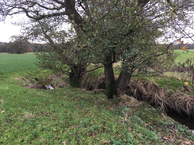
Bowman Wood is predominantly composed of deciduous trees, including oak, birch, and beech, creating a diverse and vibrant ecosystem. The forest floor is covered in a carpet of ferns, wildflowers, and mosses, adding to the enchanting atmosphere of the woodland.

The wood is crisscrossed by a network of well-maintained footpaths, making it easily accessible for visitors who can enjoy peaceful walks and hikes amidst the serene surroundings. Wildlife enthusiasts can spot a variety of bird species, such as woodpeckers, owls, and thrushes, as well as mammals like badgers, foxes, and deer.

Bowman Wood has a rich history dating back centuries. It was once part of a medieval deer park, and remnants of ancient boundaries and ditches can still be seen today. The wood has also been used for timber and charcoal production in the past.

Due to its natural beauty and biodiversity, Bowman Wood is a popular destination for nature lovers, photographers, and those seeking tranquility away from the hustle and bustle of urban life. Its close proximity to the village of Wood makes it easily accessible for both locals and tourists alike, providing a haven of natural beauty for all who visit.

If you have any feedback on the listing, please let us know in the comments section below.
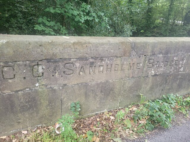
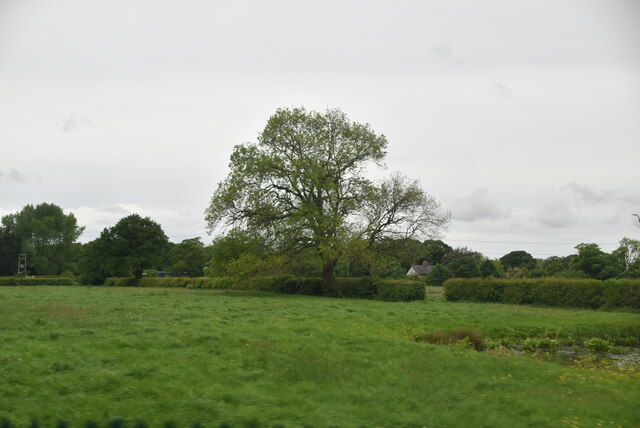
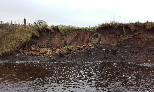
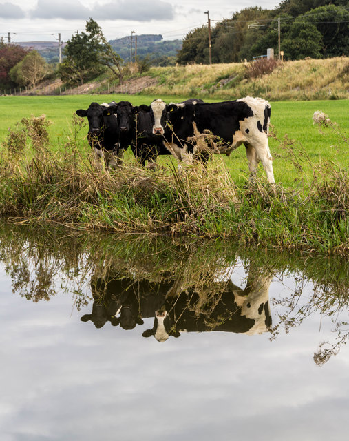
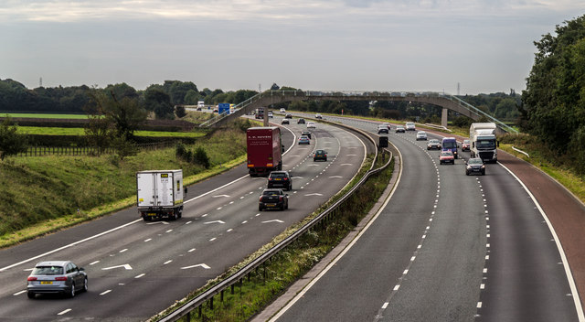
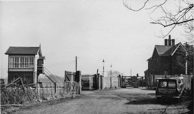
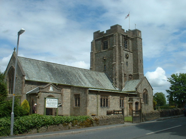
Bowman Wood Images

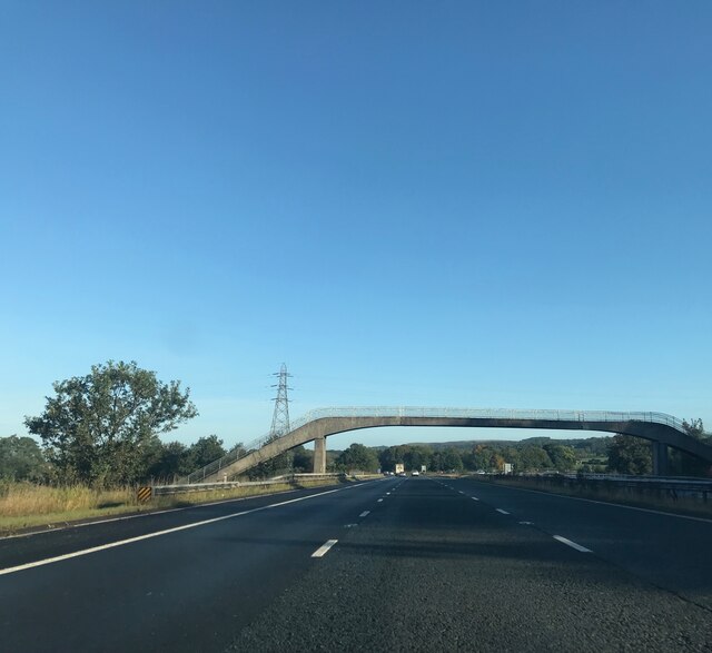
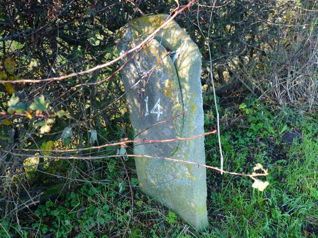
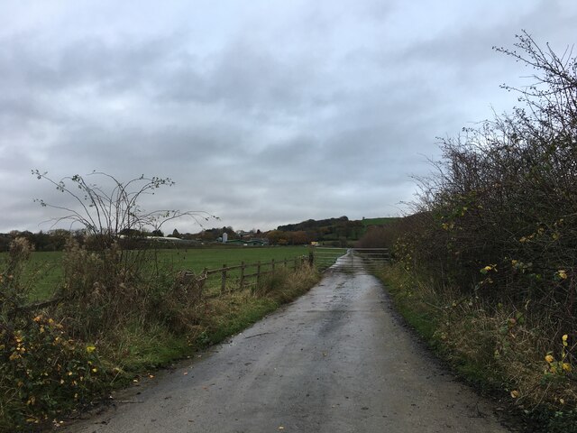
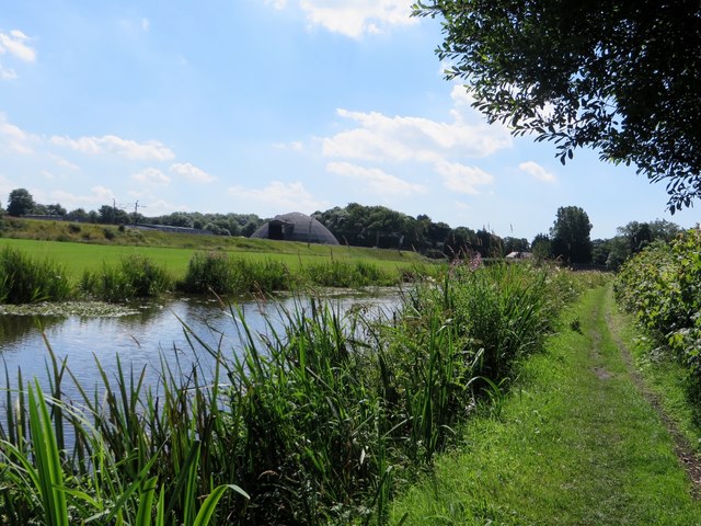
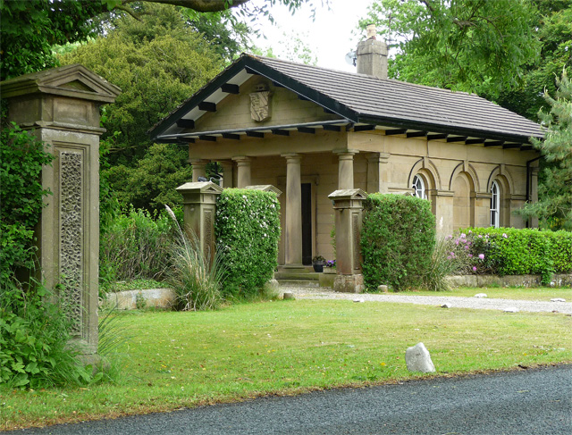
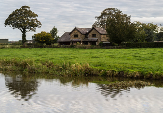
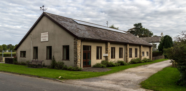
Images are sourced within 2km of 53.873528/-2.7224634 or Grid Reference SD5242. Thanks to Geograph Open Source API. All images are credited.

New Lane crossing M6 motorway
Footbridge over M6
Footbridge over M6
Signage - M6 northbound
Footbridge - M6 northbound
Old Milestone Marker 43-14 F (between bridges 50-49), Lancaster Canal Milestone located by the side of the Lancaster Canal
This milestone is 14 miles from the centre of Preston and 43 miles from Kendal

Inscription reads:- 
Preston / 14 :: Garstang / 3 (missing) 

Milestone Society National ID: LAN-14
Old Milestone Marker 43-14 F (between bridges 50-49), Lancaster Canal
Milestone located by the side of the Lancaster Canal This milestone is 14 miles from the centre of Preston and 43 miles from Kendal Inscription reads:- Preston / 14 :: Garstang / 3 (missing) Milestone Society National ID: LAN-14
Gated road to Stirzaker House Farm
Small stream near Claughton
Old Bridge Marker on Sandholme Bridge, Barnacre with Bonds parish Bridge Marker inscribed in the parapet of Sandholme Bridge, River Calder, on the east side of Sandholme Lane. Barnacre with Bonds parish. Grade II Listed details <span class="nowrap"><a title="https://historicengland.org.uk/listing/the-list/list-entry/1072909" rel="nofollow ugc noopener" href="https://historicengland.org.uk/listing/the-list/list-entry/1072909">Link</a><img style="margin-left:2px;" alt="External link" title="External link - shift click to open in new window" src="https://s1.geograph.org.uk/img/external.png" width="10" height="10"/></span>. See also <a title="https://www.geograph.org.uk/photo/482909" href="https://www.geograph.org.uk/photo/482909">Link</a>.

Milestone Society National ID: LA_BERN02br
Old Bridge Marker on Sandholme Bridge, Barnacre with Bonds parish
Bridge Marker inscribed in the parapet of Sandholme Bridge, River Calder, on the east side of Sandholme Lane. Barnacre with Bonds parish. Grade II Listed details LinkExternal link. See also Link. Milestone Society National ID: LA_BERN02br
Tree in hedge
Tree in hedge
Wyre : The M6 Motorway Heading north through the Wyre district of Lancashire.
Wyre : The M6 Motorway
Heading north through the Wyre district of Lancashire.
River Brock at Walmsley Bridge - Glacial layers Shown are the 2 most recent glacial till layers with the remnants of a previous river channel. the upper layer is fluvio-glacial with rounded stones, whilst the lower (darker) till layer is probably from the Devensian Ice Age and contains angular stones, typical of purely glacial origin.The current river is continually exposing these layers and the bedrock of mudstones is cut through just a 100m up and down stream from this point.
River Brock at Walmsley Bridge - Glacial layers
Shown are the 2 most recent glacial till layers with the remnants of a previous river channel. the upper layer is fluvio-glacial with rounded stones, whilst the lower (darker) till layer is probably from the Devensian Ice Age and contains angular stones, typical of purely glacial origin.The current river is continually exposing these layers and the bedrock of mudstones is cut through just a 100m up and down stream from this point.
Lancaster Canal and tow path
Lodge near Claughton West lodge, possibly designed by Robert Roper who was responsible for the early C19th hall. Deeply eaved Tuscan portico. Grade II listed.
Lodge near Claughton
West lodge, possibly designed by Robert Roper who was responsible for the early C19th hall. Deeply eaved Tuscan portico. Grade II listed.
Bridge Meadow House alongside the Lancaster Canal.
Bridge Meadow
House alongside the Lancaster Canal.
Claughton Memorial Hall
Lancaster Canal Cows alongside the Lancaster Canal.
Lancaster Canal
Cows alongside the Lancaster Canal.
M6 M6 Motorway.
M6
M6 Motorway.
Show me another place!

Bowman Wood is located at Grid Ref: SD5242 (Lat: 53.873528, Lng: -2.7224634)

Administrative County: Lancashire

District: Wyre

Police Authority: Lancashire

What 3 Words

///recap.brisk.trek. Near Catterall, Lancashire

Related Wikis

Claughton, Wyre

Claughton ( KLY-tən) is a sparse village and civil parish in the county of Lancashire in the north of England, in the Borough of Wyre. The population of...

Brock railway station

Brock railway station served the hamlet of Brock near Bilsborrow, Lancashire, England, from 1849 to 1939 on the Lancaster and Preston Junction Railway...

Garstang and Catterall railway station

Garstang and Catterall railway station served as the interchange between the Garstang and Knot-End Railway and the London and North Western Railway, in...

Bilsborrow

Bilsborrow is a village and former civil parish, now in the parish of Myerscough and Bilsborrow, in the Wyre district, in the county of Lancashire, England...

Nearby Amenities

Located within 500m of 53.873528,-2.7224634
Claughton
Created By: Potlatch 0.4a
Is In: Wyre, Lancashire
Place: village
Source: npe
Lat/Long: 53.8725886/-2.7167196
Bowman Wood
Natural: wood
Source: OS OpenData StreetView
Lat/Long: 53.8737624/-2.72223
The data included in this document is from www.openstreetmap.org. The data is made available under ODbL.

Have you been to Bowman Wood?

Leave your review of Bowman Wood below (or comments, questions and feedback).