Rough Hey Wood
Wood, Forest in Lancashire Wyre
England
Rough Hey Wood
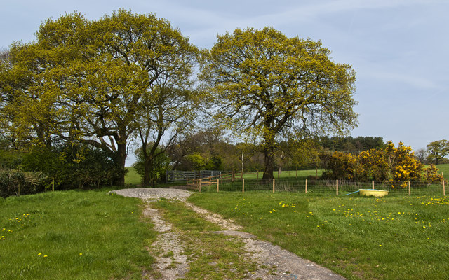
Rough Hey Wood, located in Lancashire, England, is an expansive forest area covering approximately 200 acres. The wood is situated near the town of Accrington, within the borough of Hyndburn. It is easily accessible, with a number of footpaths and trails leading into the heart of the wood.
The forest is characterized by a diverse range of tree species, including oak, birch, beech, and coniferous trees. The lush foliage creates a captivating atmosphere, especially during spring and summer when the woodland floor is adorned with colorful wildflowers.
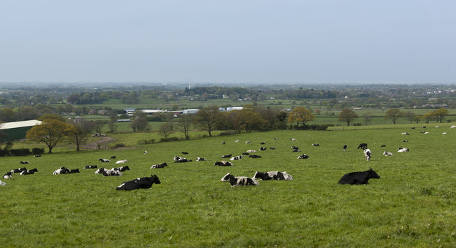
Rough Hey Wood is not only a haven for nature enthusiasts but also a habitat for various wildlife. The forest is home to a wide array of bird species, such as woodpeckers, owls, and thrushes. It is not uncommon to spot squirrels, rabbits, and even deer roaming freely within the wood.
For those seeking recreational activities, the wood offers several well-maintained paths for walking, jogging, and cycling. The tranquil surroundings make it an ideal location for picnics and family outings. Moreover, the wood also provides opportunities for educational activities, as it serves as an outdoor classroom for nearby schools and nature groups.
Rough Hey Wood, with its natural beauty and serene ambiance, is a cherished asset to the local community. It provides an escape from the bustling urban environment, allowing visitors to immerse themselves in the tranquility of nature. Whether it is for leisurely walks, birdwatching, or simply enjoying the outdoors, Rough Hey Wood offers a delightful experience for nature enthusiasts of all ages.
If you have any feedback on the listing, please let us know in the comments section below.
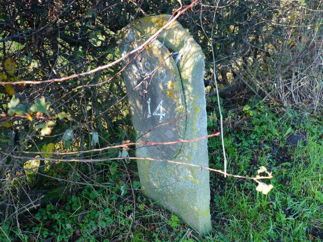
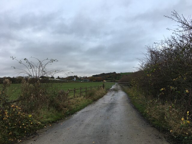
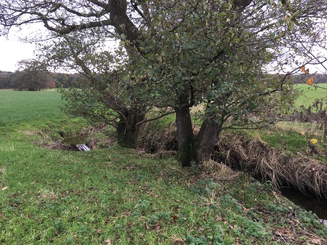
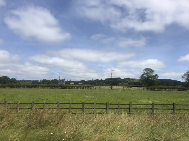
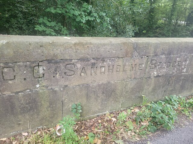
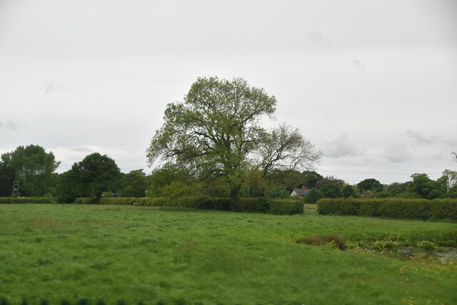
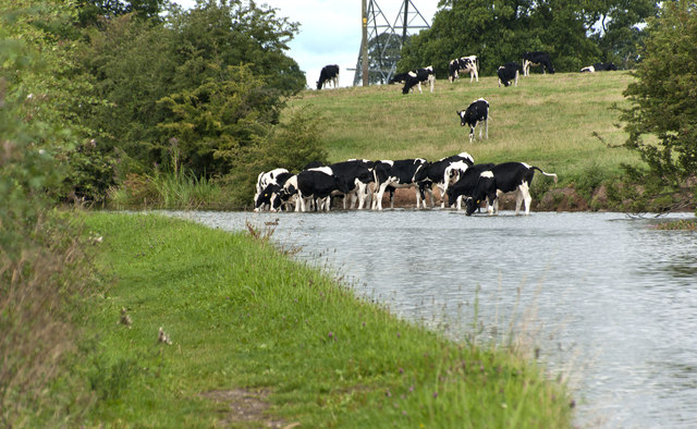
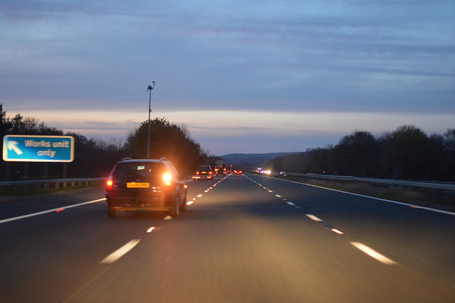
Rough Hey Wood Images
Images are sourced within 2km of 53.879563/-2.7307057 or Grid Reference SD5242. Thanks to Geograph Open Source API. All images are credited.


Rough Hey Wood is located at Grid Ref: SD5242 (Lat: 53.879563, Lng: -2.7307057)
Administrative County: Lancashire
District: Wyre
Police Authority: Lancashire
What 3 Words
///matchbox.messaging.excuse. Near Catterall, Lancashire
Nearby Locations
Related Wikis

Claughton, Wyre
Claughton ( KLY-tən) is a sparse village and civil parish in the county of Lancashire in the north of England, in the Borough of Wyre. The population of...

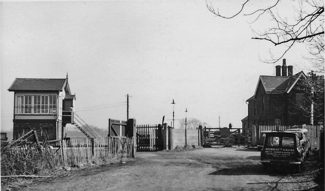
Garstang and Catterall railway station
Garstang and Catterall railway station served as the interchange between the Garstang and Knot-End Railway and the London and North Western Railway, in...

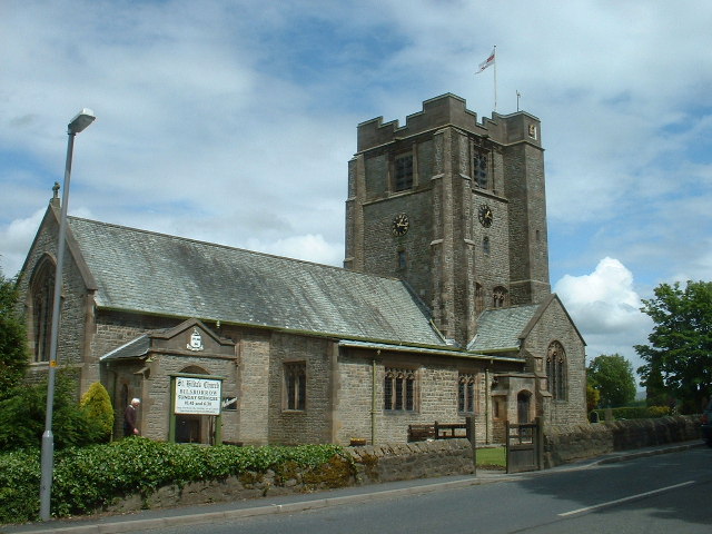
Catterall
Catterall is a village and civil parish in the borough of Wyre, Lancashire, England. Historically in the Amounderness Hundred, it is situated on the A6...
Brock railway station
Brock railway station served the hamlet of Brock near Bilsborrow, Lancashire, England, from 1849 to 1939 on the Lancaster and Preston Junction Railway...

Garstang Community Academy
Garstang Community Academy (formerly Garstang High School) is a secondary school with academy status in the parish of Barnacre-with-Bonds near Garstang...

Bowgreave
Bowgreave is a village in the parish of Barnacre-with-Bonds, Lancashire, England. Its nearest town is Garstang, a mile to the north. Garstang Community...
Bilsborrow
Bilsborrow is a village and former civil parish, now in the parish of Myerscough and Bilsborrow, in the Wyre district, in the county of Lancashire, England...
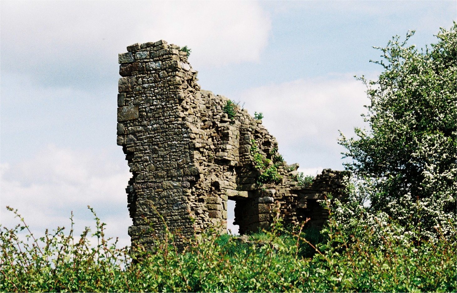
Greenhalgh Castle
Greenhalgh Castle is a castle, now ruined, near the town of Garstang in Lancashire, England. Thomas Stanley, 1st Earl of Derby, had the castle built in...
Have you been to Rough Hey Wood?
Leave your review of Rough Hey Wood below (or comments, questions and feedback).