Shrogg's Wood
Wood, Forest in Lancashire Wyre
England
Shrogg's Wood
Shrogg's Wood is a picturesque woodland located in the county of Lancashire, England. Covering an area of approximately 100 acres, it is situated near the village of Shrogg's Wood, which takes its name from the ancient forest.
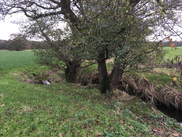
The wood is predominantly composed of a diverse mix of deciduous and coniferous trees, creating a rich and vibrant ecosystem. Towering oak, beech, and ash trees dominate the landscape, their lush foliage providing a haven for numerous species of birds, insects, and small mammals.
The forest floor of Shrogg's Wood is adorned with a colorful carpet of wildflowers during the spring and summer months. Bluebells, primroses, and wild garlic are just a few of the flora species that bloom in abundance, adding to the beauty and tranquility of the wood.
A network of well-maintained footpaths and trails meander through the forest, allowing visitors to explore its enchanting surroundings. These paths wind their way around ancient trees, babbling brooks, and moss-covered rocks, providing a peaceful and immersive experience in nature.
Shrogg's Wood is not only a popular destination for nature enthusiasts and hikers but also serves as a valuable educational resource. Local schools often organize field trips to the wood, where students can learn about the different species of trees, plants, and animals that inhabit the area.
Overall, Shrogg's Wood is a captivating and ecologically significant woodland, offering a range of recreational opportunities and serving as a vital habitat for a myriad of wildlife species.
If you have any feedback on the listing, please let us know in the comments section below.
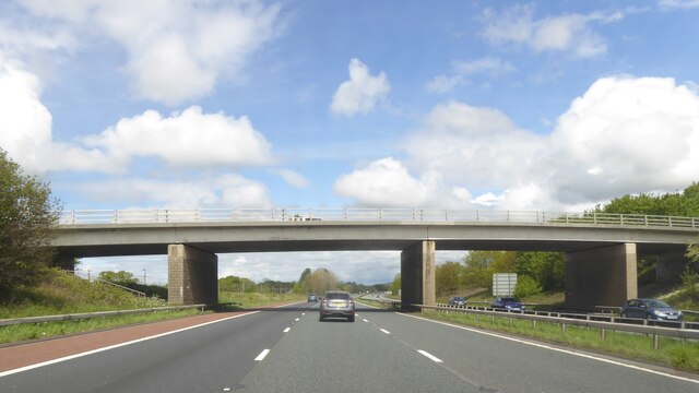
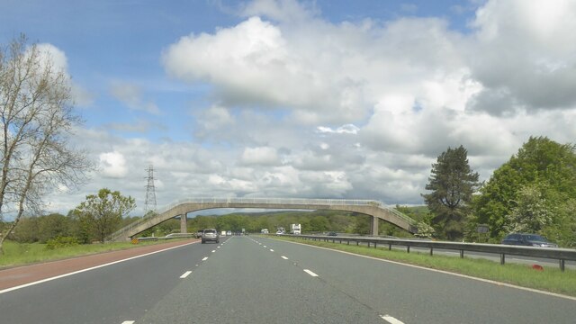
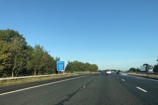
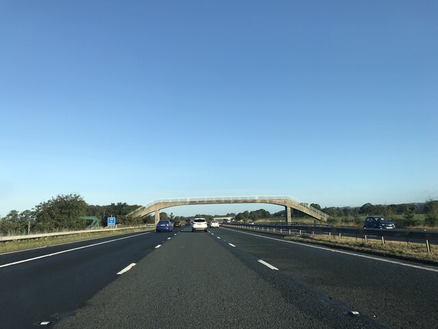
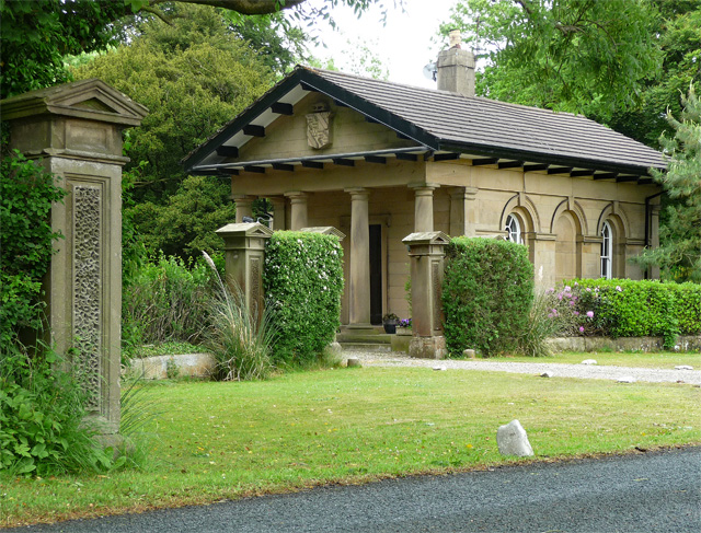
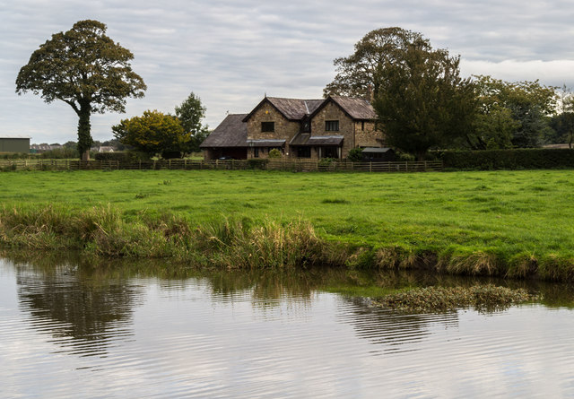
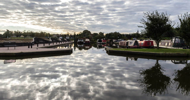
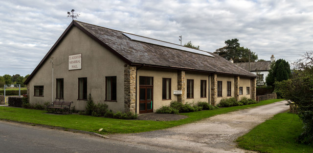
Shrogg's Wood Images
Images are sourced within 2km of 53.872987/-2.72434 or Grid Reference SD5242. Thanks to Geograph Open Source API. All images are credited.


Shrogg's Wood is located at Grid Ref: SD5242 (Lat: 53.872987, Lng: -2.72434)
Administrative County: Lancashire
District: Wyre
Police Authority: Lancashire
What 3 Words
///risen.visions.variously. Near Catterall, Lancashire
Nearby Locations
Related Wikis

Claughton, Wyre
Claughton ( KLY-tən) is a sparse village and civil parish in the county of Lancashire in the north of England, in the Borough of Wyre. The population of...
Brock railway station
Brock railway station served the hamlet of Brock near Bilsborrow, Lancashire, England, from 1849 to 1939 on the Lancaster and Preston Junction Railway...

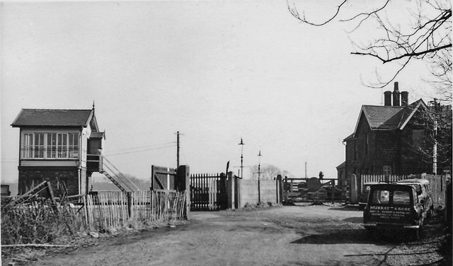
Garstang and Catterall railway station
Garstang and Catterall railway station served as the interchange between the Garstang and Knot-End Railway and the London and North Western Railway, in...
Bilsborrow
Bilsborrow is a village and former civil parish, now in the parish of Myerscough and Bilsborrow, in the Wyre district, in the county of Lancashire, England...

Roebuck railway station
Roebuck railway station served the village of Bilsborrow, Lancashire, England, from 1840 to 1849 on the Lancaster and Preston Junction Railway. == History... ==
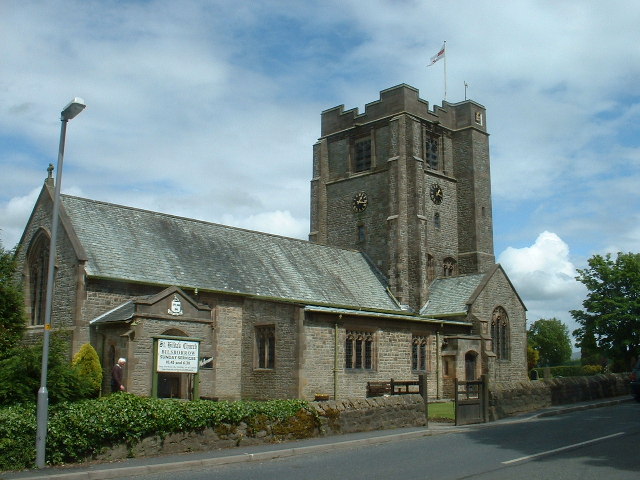
St Hilda's Church, Bilsborrow
St Hilda's Church is in Bilsborrow Lane in the village of Bilsborrow, Lancashire, England. It is an active Anglican parish church in the deanery of Garstang...

Catterall
Catterall is a village and civil parish in the borough of Wyre, Lancashire, England. Historically in the Amounderness Hundred, it is situated on the A6...
Myerscough and Bilsborrow
Myerscough and Bilsborrow () is a civil parish in the Borough of Wyre in Lancashire, England. It was formed on 1 April 2003 as a merger of the former parishes...
Nearby Amenities
Located within 500m of 53.872987,-2.72434Have you been to Shrogg's Wood?
Leave your review of Shrogg's Wood below (or comments, questions and feedback).