Claughton
Civil Parish in Lancashire Lancaster
England
Claughton
Claughton is a civil parish located in the county of Lancashire, in the northwest region of England. It is situated approximately 4 miles northeast of Lancaster, the county town. The parish covers an area of around 9 square miles and is bordered by the River Lune to the east and the village of Caton to the south.
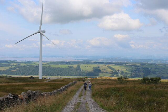
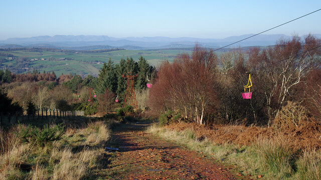
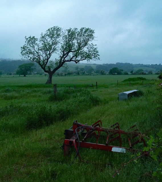
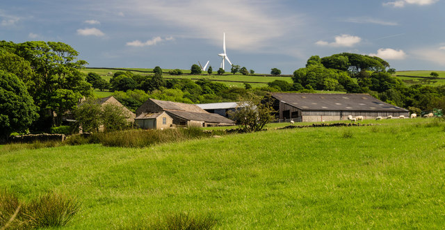
The landscape of Claughton is predominantly rural, characterized by rolling hills, farmland, and scattered small settlements. The area boasts picturesque views and offers a tranquil setting for residents and visitors alike. The parish is known for its agricultural activities, with farming being a significant contributor to the local economy.
The village of Claughton itself is a small, tight-knit community with a population of around 800 people. It features a handful of traditional stone-built houses and a small number of amenities, including a village hall and a local church. The village hall serves as a central hub for social gatherings and community events.
Nature enthusiasts can explore the surrounding countryside, which offers opportunities for walking, hiking, and birdwatching. Nearby attractions include the Forest of Bowland Area of Outstanding Natural Beauty, which is renowned for its scenic beauty and diverse wildlife.
Overall, Claughton, Lancashire, is a charming civil parish that offers a peaceful rural lifestyle and an abundance of natural beauty.
If you have any feedback on the listing, please let us know in the comments section below.
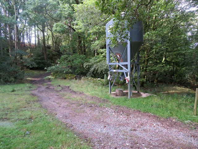
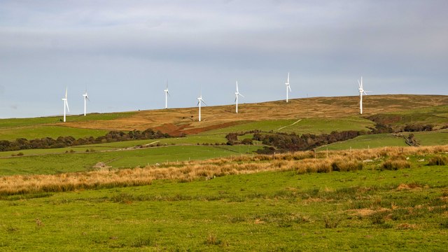
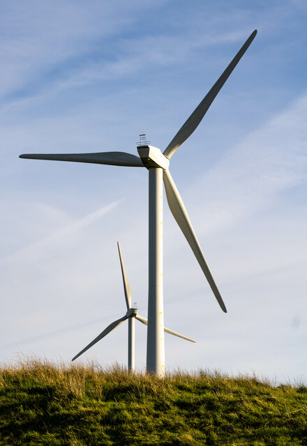
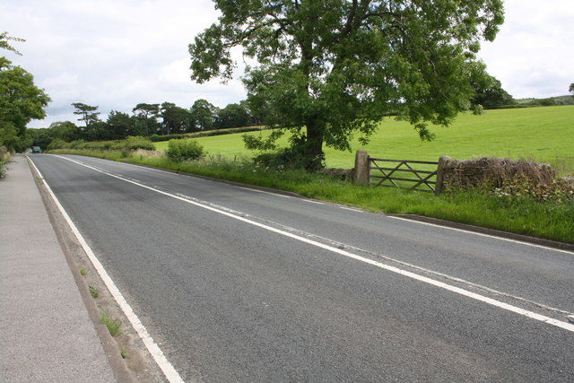
Claughton Images
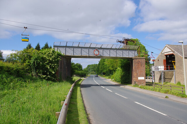
Images are sourced within 2km of 54.085276/-2.662132 or Grid Reference SD5665. Thanks to Geograph Open Source API. All images are credited.


Claughton is located at Grid Ref: SD5665 (Lat: 54.085276, Lng: -2.662132)
Administrative County: Lancashire
District: Lancaster
Police Authority: Lancashire
What 3 Words
///sung.startles.done. Near Caton, Lancashire
Nearby Locations
Related Wikis
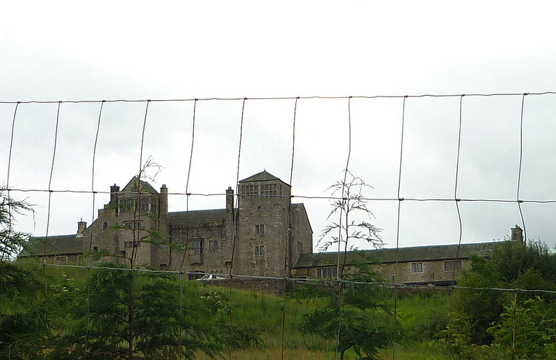
Claughton Hall
Claughton Hall (Claughton pronounced KLAF-tən) is a large country house in the English village of Claughton, Lancashire. A Grade I listed building, it...

St Chad's Church, Claughton
St Chad's Church is in the village of Claughton, Lancashire, England. It is a redundant Anglican parish church, which is recorded in the National Heritage...
Claughton, Lancaster
Claughton ( KLAF-tən) is a small village and civil parish in the City of Lancaster in Lancashire, England. The village is on the A683 road east of Lancaster...

Claughton railway station
Claughton railway station served the village of Claughton in the City of Lancaster district of Lancashire, England. The station was located near Low Lane...
Nearby Amenities
Located within 500m of 54.085276,-2.662132Have you been to Claughton?
Leave your review of Claughton below (or comments, questions and feedback).