Beeston St. Andrew

Civil Parish in Norfolk Broadland

England

Beeston St. Andrew

St Mary & St Margaret, Sprowston, Norwich
St Mary & St Margaret, Sprowston, Norwich Credit: John Salmon

Beeston St. Andrew is a civil parish located in the county of Norfolk, England. It is situated approximately 2 miles south-east of the town of Sheringham and 4 miles north-west of the city of Norwich. The parish covers an area of around 2.5 square miles and has a population of around 400 residents.

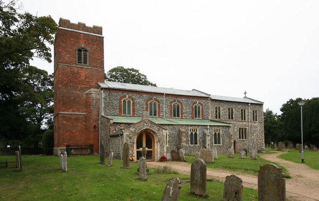
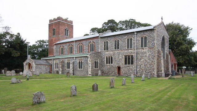
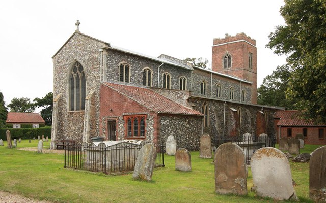
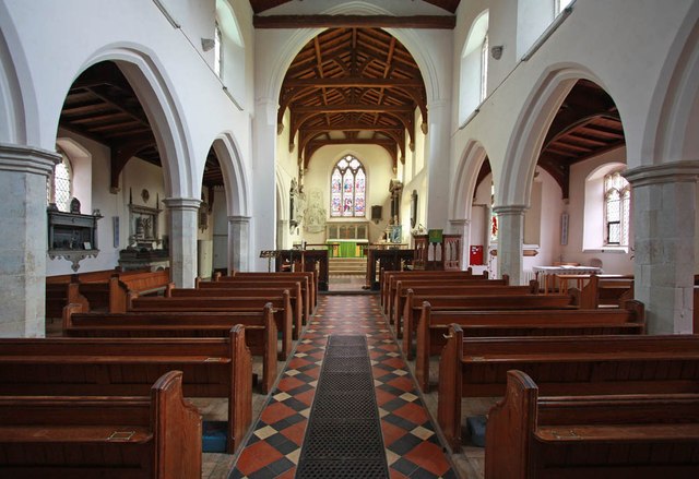
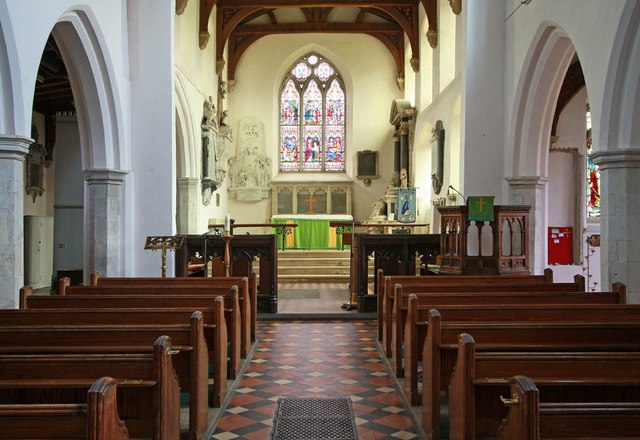
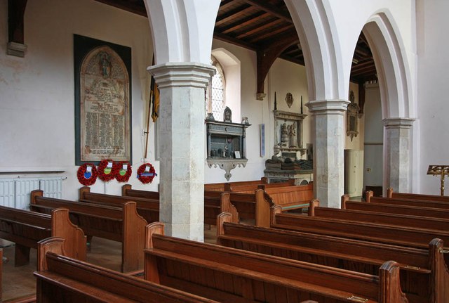
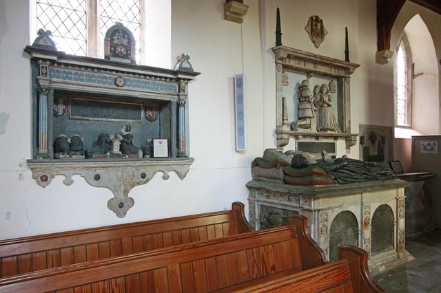
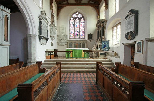
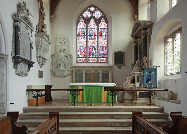
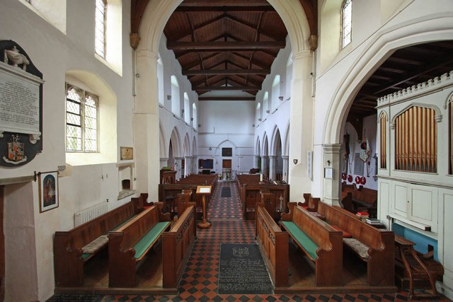
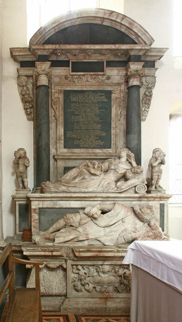
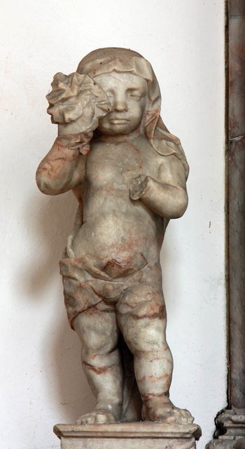
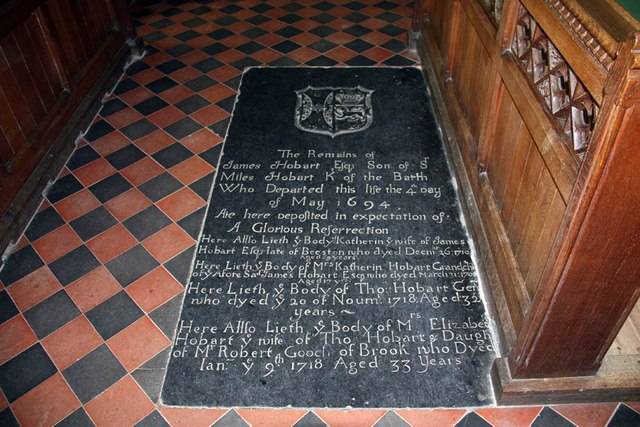
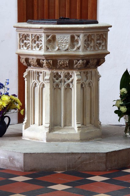
The village of Beeston St. Andrew is known for its picturesque countryside and peaceful atmosphere. It is surrounded by rolling hills, meadows, and woodland, making it an ideal location for nature lovers and outdoor enthusiasts. The parish is also home to several historic buildings, including the Grade II listed St. Andrew's Church, which dates back to the 14th century.

The village has a strong sense of community and offers a range of amenities for its residents. These include a village hall, a primary school, and a local pub, providing social and recreational opportunities for the locals. The parish is well-connected with nearby towns and cities, with regular bus services and easy access to major road networks.

In terms of economy, Beeston St. Andrew is predominantly rural, with agriculture playing a significant role. The surrounding farmland is used for arable farming and livestock rearing, contributing to the local economy. There are also a few small businesses and services in the village, providing employment opportunities for the residents.

Overall, Beeston St. Andrew is a charming and vibrant civil parish, offering a peaceful countryside setting and a strong sense of community.

If you have any feedback on the listing, please let us know in the comments section below.

Beeston St. Andrew Images

Images are sourced within 2km of 52.678342/1.336524 or Grid Reference TG2514. Thanks to Geograph Open Source API. All images are credited.

St Mary & St Margaret, Sprowston, Norwich
St Mary & St Margaret, Sprowston, Norwich - East end
St Mary & St Margaret, Sprowston, Norwich - Interior
St Mary & St Margaret, Sprowston, Norwich - Wall monuments
St Mary & St Margaret, Sprowston, Norwich - Chancel
St Mary & St Margaret, Sprowston, Norwich - Sanctuary
St Mary & St Margaret, Sprowston, Norwich - West end
St Mary & St Margaret, Sprowston, Norwich - Monument
St Mary & St Margaret, Sprowston, Norwich - Monument detail
St Mary & St Margaret, Sprowston, Norwich - Ledger slab
St Mary & St Margaret, Sprowston, Norwich - Window
St Mary & St Margaret, Sprowston, Norwich - Font
St Mary & St Margaret, Sprowston, Norwich - Royal Arms
St Mary & St Margaret, Sprowston, Norwich - War Memorial
St Mary & St Margaret, Sprowston, Norwich - War Memorial WWII
Show me another place!

Beeston St. Andrew is located at Grid Ref: TG2514 (Lat: 52.678342, Lng: 1.336524)

Administrative County: Norfolk

District: Broadland

Police Authority: Norfolk

What 3 Words

///enjoyable.pythons.rides. Near Spixworth, Norfolk

Related Wikis

Beeston St Andrew

Beeston St Andrew is a civil parish north of Norwich in the Broadland district of Norfolk, England. It contains Beeston Park and according to the 2001...

Spixworth

Spixworth is a village and civil parish in the English county of Norfolk. The village lies close to the B1150 road and is 5 miles (8.0 km) north of Norwich...

Norwich Northern Distributor Road

The Norwich Northern Distributor Road, now officially named the Broadland Northway (but also known as the NDR) is a 12.4 mi (20.0 km) dual-carriageway...

Crostwick

Crostwick is a village in the English county of Norfolk. The village is part of the civil parish of Horstead with Stanninghall. Crostwick is located 2...
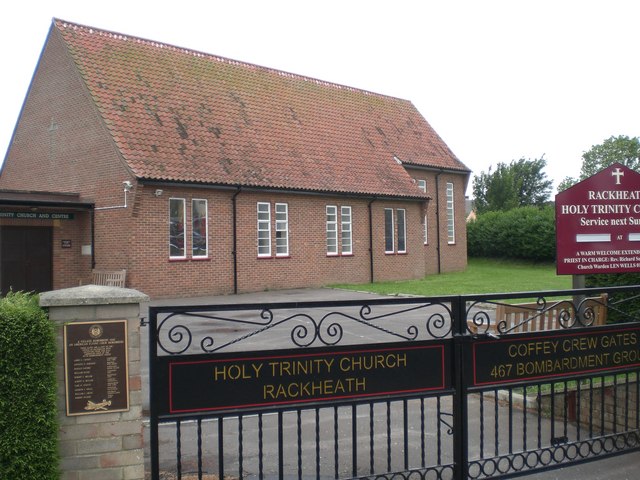
Rackheath

Rackheath is a village and civil parish in the English county of Norfolk, and is roughly 6 miles (9.7 km) north-east of Norwich city centre. It covers...
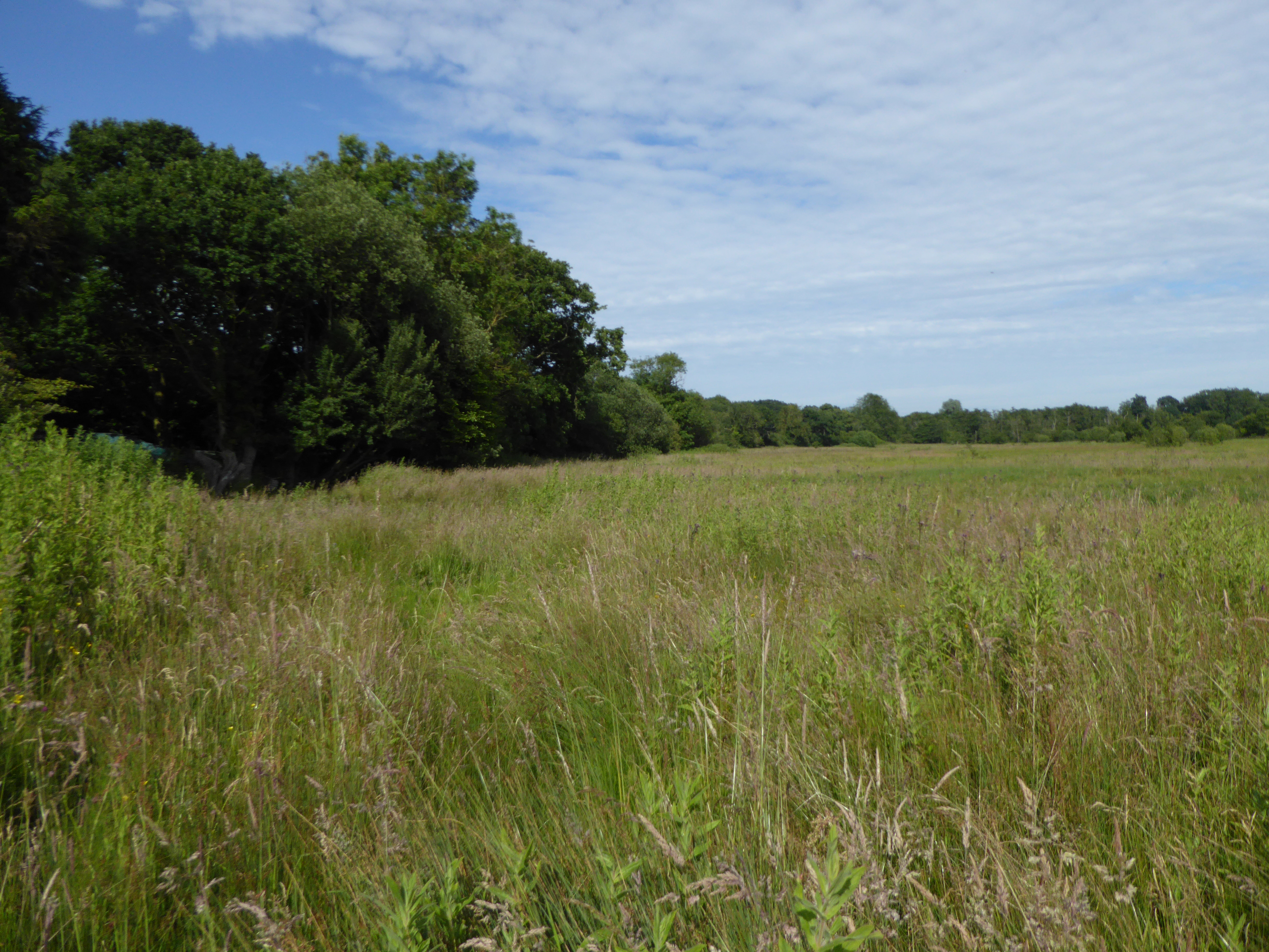
Crostwick Marsh

Crostwick Marsh is an 11.6-hectare (29-acre) biological Site of Special Scientific Interest in Crostwick, north of Norwich in Norfolk. It is part of the...
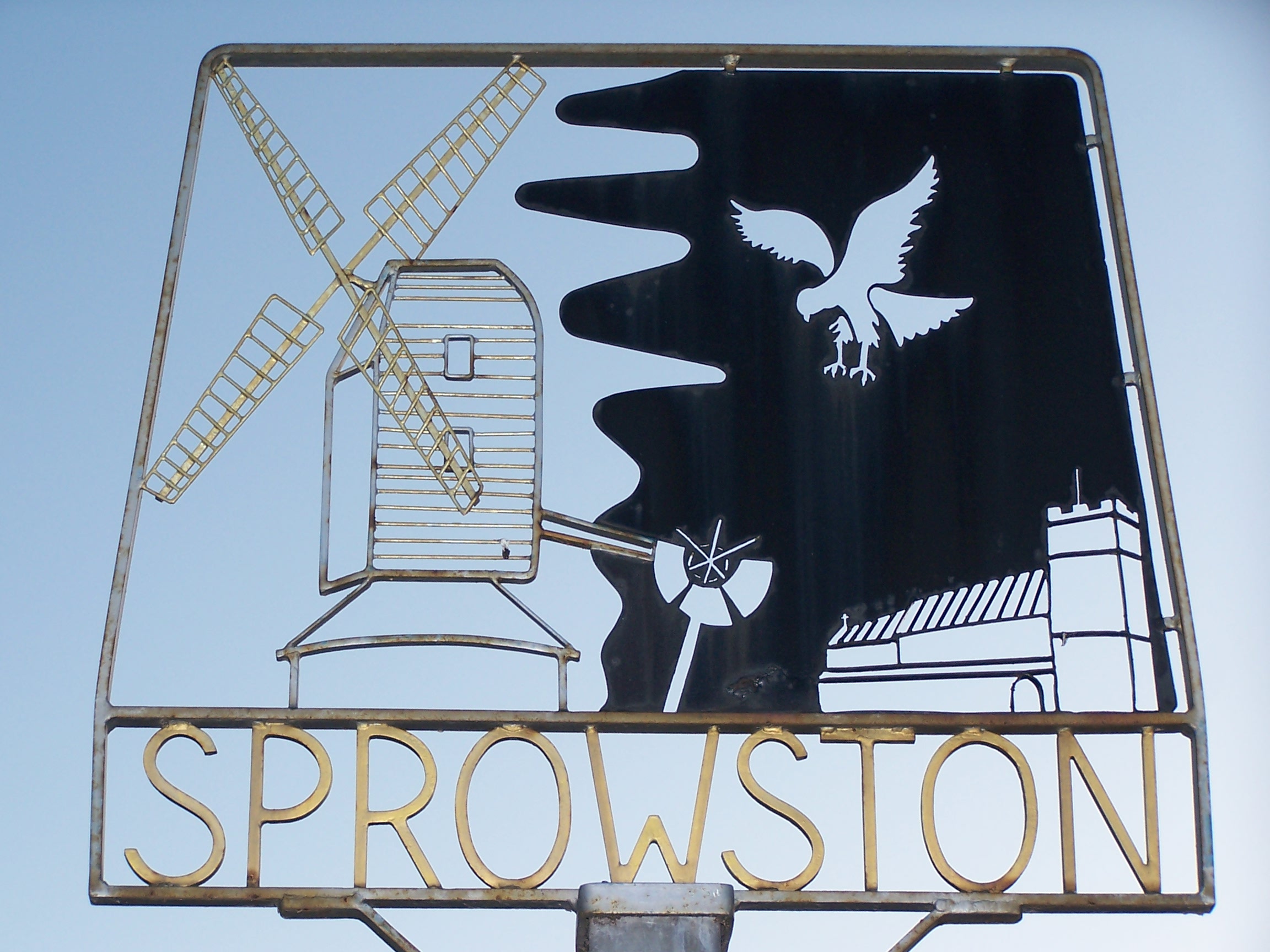
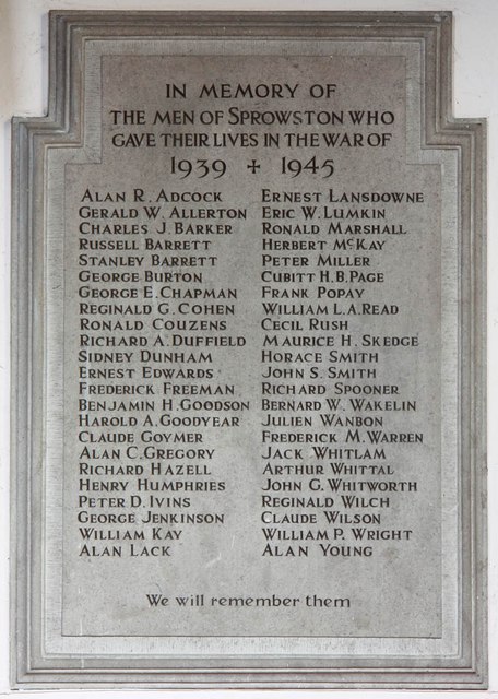
Sprowston

Sprowston ( or ) is a town and civil parish in the Broadland district of Norfolk, England. It is bounded by Heartsease to the east, Mousehold Heath and...
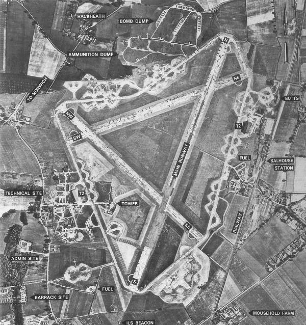
RAF Rackheath

Royal Air Force Rackheath, more commonly known as RAF Rackheath, is a former Royal Air Force station located near the village of Rackheath, approximately...

Nearby Amenities

Located within 500m of 52.678342,1.336524
Beeston St Andrew
Place: village
Source: NPE
Lat/Long: 52.6774162/1.331855
Bus Stop
garden centre, adj
Bus: yes
Naptan AtcoCode: 2900B211
Naptan Bearing: S
Naptan BusStopType: CUS
Naptan CommonName: garden centre
Naptan Indicator: adj
Naptan Landmark: garden centre
Naptan Locality: Beeston St Andrew
Naptan NaptanCode: nfoadtmj
Naptan PlusbusZoneRef: NRCH
Naptan ShortCommonName: garden centre
Naptan Street: North Walsham Road
Naptan Verified: no
Public Transport: platform
Source: naptan_import
Lat/Long: 52.6791605/1.329748
Bus Stop
garden centre, opp
Bus: yes
Naptan AtcoCode: 2900B212
Naptan Bearing: N
Naptan BusStopType: CUS
Naptan CommonName: garden centre
Naptan Indicator: opp
Naptan Landmark: garden centre
Naptan Locality: Beeston St Andrew
Naptan NaptanCode: nfoadtmp
Naptan PlusbusZoneRef: NRCH
Naptan ShortCommonName: garden centre
Naptan Street: North Walsham Road
Naptan Verified: no
Public Transport: platform
Source: naptan_import
Lat/Long: 52.6791775/1.329521
Crossing
Crossing: uncontrolled
Tactile Paving: no
Lat/Long: 52.6802518/1.3301967
Crossing
Crossing: uncontrolled
Tactile Paving: no
Lat/Long: 52.6802927/1.3299993
Power: pole
Lat/Long: 52.6807595/1.3418352
Power: pole
Lat/Long: 52.679881/1.3419042
Power: pole
Lat/Long: 52.6789736/1.3419686
Power: pole
Lat/Long: 52.6763359/1.3311486
Power: pole
Lat/Long: 52.6764579/1.3325595
Power: pole
Lat/Long: 52.6765734/1.3340239
Power: pole
Lat/Long: 52.6765262/1.3351638
Power: pole
Lat/Long: 52.6764888/1.3362206
Power: pole
Lat/Long: 52.676388/1.3375215
Power: pole
Lat/Long: 52.6764888/1.3403754
Power: pole
Lat/Long: 52.676388/1.3391228
Power: pole
Lat/Long: 52.6767075/1.3421121
Power: pole
Lat/Long: 52.6778451/1.3420357
Power: pole
Lat/Long: 52.6758936/1.3421483
Power: pole
Lat/Long: 52.6765754/1.3416353
Power: pole
Lat/Long: 52.6765136/1.3430354
Fixme: incomplete
Lat/Long: 52.6799117/1.3387159
Crossing
Crossing: uncontrolled
Lat/Long: 52.6807819/1.3310848
Crossing
Crossing: uncontrolled
Lat/Long: 52.6806603/1.3311333
The data included in this document is from www.openstreetmap.org. The data is made available under ODbL.

Have you been to Beeston St. Andrew?

Leave your review of Beeston St. Andrew below (or comments, questions and feedback).