Broadwalk Plantation

Wood, Forest in Norfolk Broadland

England

Broadwalk Plantation

OS Benchmark Recorded on Benchmark Database as 'Spixworth, St Peter's Church'.
OS Benchmark Credit: David Bremner

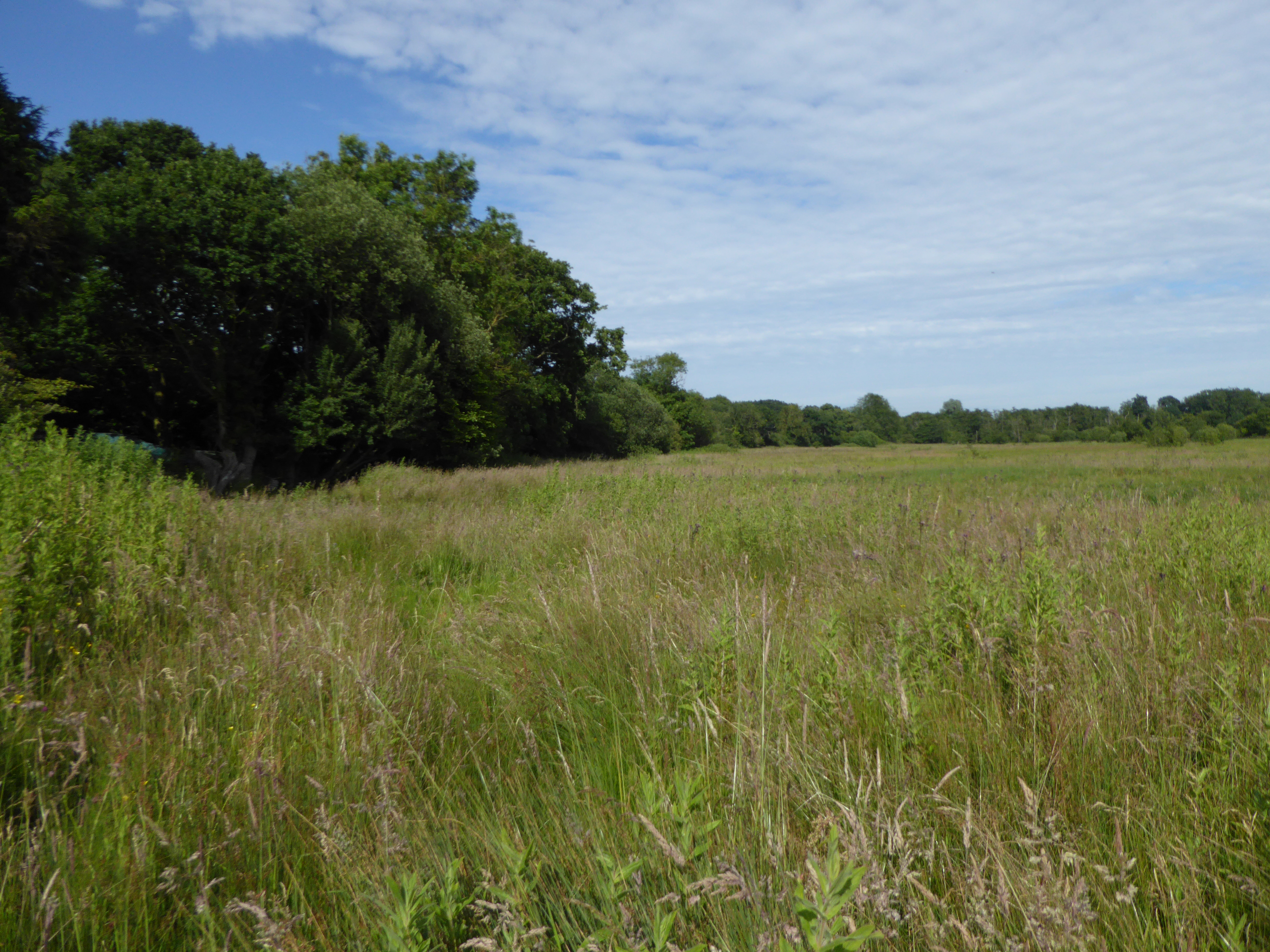
Broadwalk Plantation is a picturesque forest located in Norfolk, England. This enchanting woodland covers an area of approximately 200 hectares and is known for its diverse range of flora and fauna. The plantation is situated in close proximity to the village of Wood, making it easily accessible for nature enthusiasts and visitors alike.

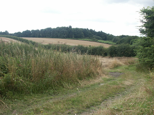
The main feature of Broadwalk Plantation is its dense canopy of mature oak and beech trees, which provide a serene and tranquil atmosphere for those exploring its trails. The forest floor is adorned with a carpet of vibrant wildflowers, adding a burst of color to the landscape. The plantation is also home to several species of wildlife, including deer, foxes, and a myriad of bird species, making it a popular spot for birdwatchers and animal lovers.

The plantation offers a network of well-maintained walking paths that wind through the forest, allowing visitors to immerse themselves in the beauty of nature. These trails range in difficulty, catering to both casual strollers and avid hikers. Along the way, visitors can discover hidden glades, babbling brooks, and even a small lake, providing plenty of opportunities for peaceful reflection and exploration.

Broadwalk Plantation also boasts an informative visitor center, where visitors can learn about the history and conservation efforts of the woodland. The center provides educational exhibits, guided tours, and workshops, making it an ideal destination for school trips and educational outings.

Overall, Broadwalk Plantation is a captivating destination for nature lovers and outdoor enthusiasts, offering a unique opportunity to experience the serene beauty of a Norfolk woodland.

If you have any feedback on the listing, please let us know in the comments section below.

Broadwalk Plantation Images

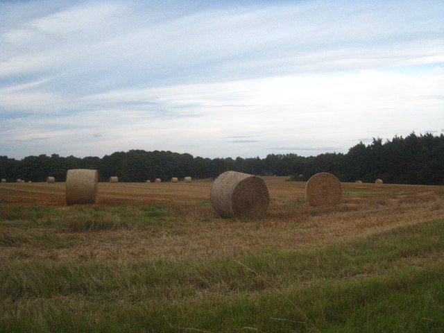
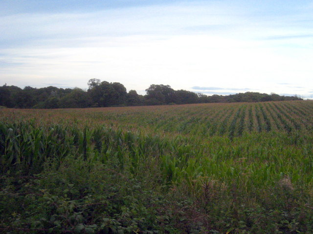
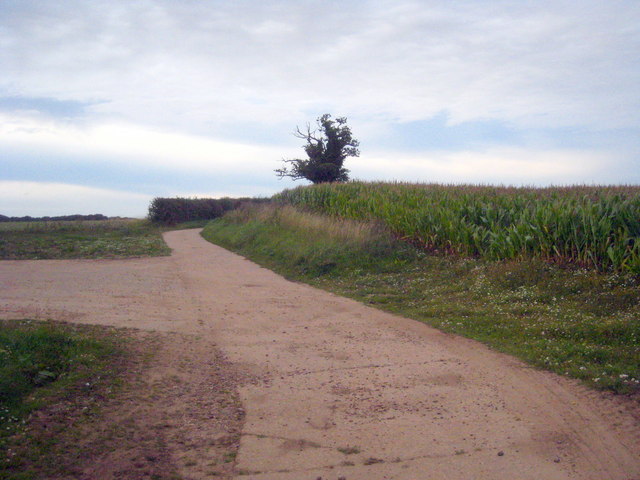
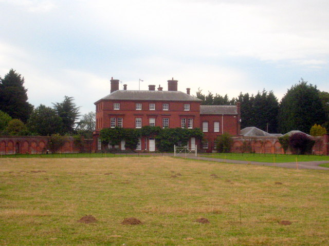
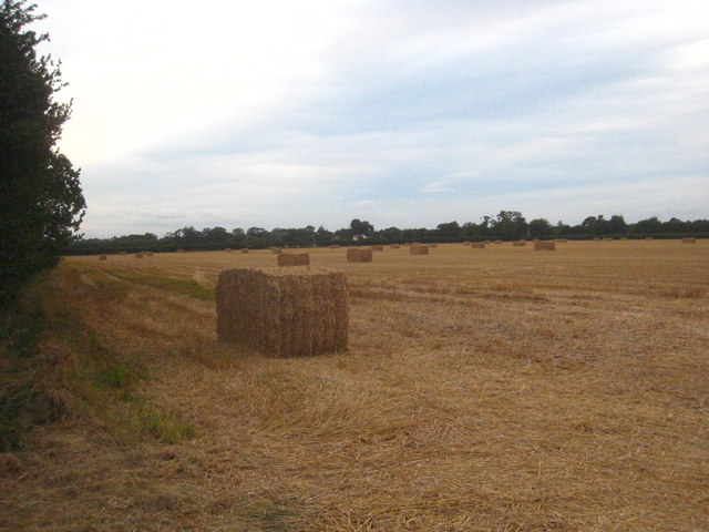
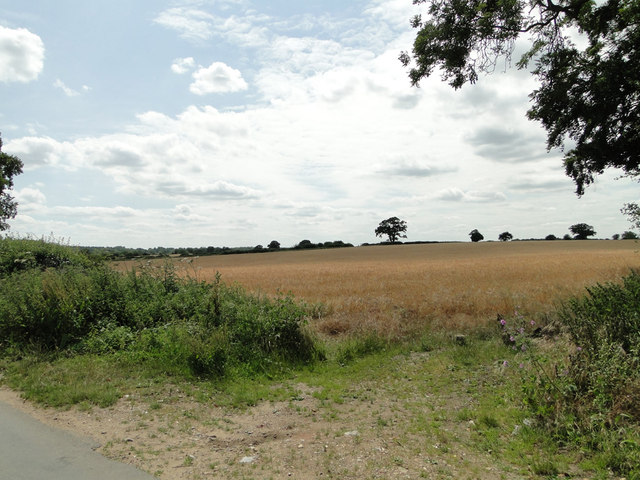
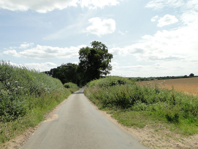
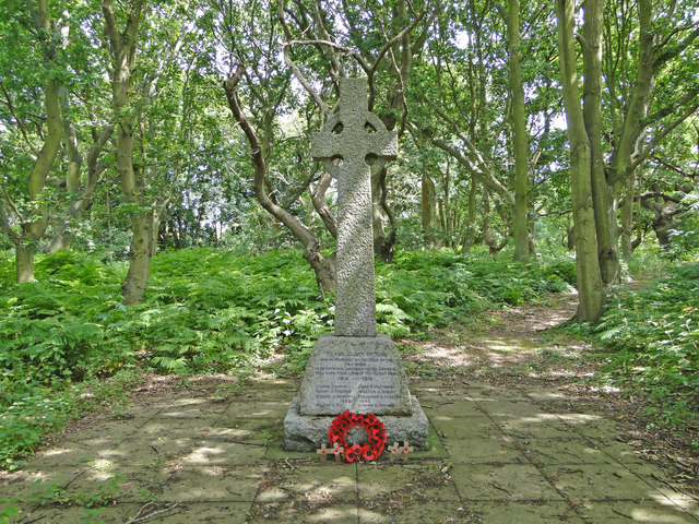
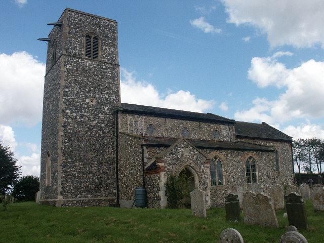
Images are sourced within 2km of 52.683172/1.3331635 or Grid Reference TG2514. Thanks to Geograph Open Source API. All images are credited.

OS Benchmark Recorded on Benchmark Database as 'Spixworth, St Peter's Church'.
OS Benchmark
Recorded on Benchmark Database as 'Spixworth, St Peter's Church'.
St Peter's, Spixworth An attractive church which we were delighted to find open.
St Peter's, Spixworth
An attractive church which we were delighted to find open.
Flowers, St Peter's Church Attractive floral display at St Peter's Church, Spixworth.
Flowers, St Peter's Church
Attractive floral display at St Peter's Church, Spixworth.
Sprowston Park and Ride
The White Horse Crostwick Public House on the North Walsham Road
The White Horse Crostwick
Public House on the North Walsham Road
The Longe Arms Spixworth Located on the junction of Buxton Road and Crostwick Lane. It nearly closed at the end of 2010 when the lease was due to run out. Two villagers decided to take it over rather than see it close.
The Longe Arms Spixworth
Located on the junction of Buxton Road and Crostwick Lane. It nearly closed at the end of 2010 when the lease was due to run out. Two villagers decided to take it over rather than see it close.
The drive of the Sprowston Manor Hotel Norwich Classic cars are lined up waiting for the start of the Rotary Retro Automobile Fellowship Jubilee Tour.
The drive of the Sprowston Manor Hotel Norwich
Classic cars are lined up waiting for the start of the Rotary Retro Automobile Fellowship Jubilee Tour.
Straw bales in a field in Beeston Lane Sprowston Wood on the right of the photo.
Straw bales in a field in Beeston Lane
Sprowston Wood on the right of the photo.
Field of maize at Diary Farm
Concrete farm track at Diary Farm
Beeston St Andrew Hall The curved C18th brick garden walls to each side of the house are Grade II Listed.
Beeston St Andrew Hall
The curved C18th brick garden walls to each side of the house are Grade II Listed.
Straw bales in a field in Church Lane Cuboid bales rather than the nowadays more commonly seen cylindrical ones.
Straw bales in a field in Church Lane
Cuboid bales rather than the nowadays more commonly seen cylindrical ones.
Barley field on gently sloping land at Crostwick
Primrose Lane near Primrose Hole, Crostwick
Crostwick War Memorial The Memorial stands beside the North Walsham road and is almost hidden from view.
It bears the names of six men lost in WW1 and of two lost in WW2.
Crostwick War Memorial
The Memorial stands beside the North Walsham road and is almost hidden from view. It bears the names of six men lost in WW1 and of two lost in WW2.
Spixworth War Memorial brasses The brasses are affixed to a window sill on the south side of the chancel.
Spixworth War Memorial brasses
The brasses are affixed to a window sill on the south side of the chancel.
Church Wood, Rackheath Seen from the end of the lane by the church.
Church Wood, Rackheath
Seen from the end of the lane by the church.
All Saints Church, Rackheath Now redundant. It is the resting place of members of the Stracey family, of nearby Rackheath Hall, and contains a memorial to Sir John Pettus (1550-1614) MP and Mayor of Norwich (1608).
All Saints Church, Rackheath
Now redundant. It is the resting place of members of the Stracey family, of nearby Rackheath Hall, and contains a memorial to Sir John Pettus (1550-1614) MP and Mayor of Norwich (1608).
Show me another place!

Broadwalk Plantation is located at Grid Ref: TG2514 (Lat: 52.683172, Lng: 1.3331635)

Administrative County: Norfolk

District: Broadland

Police Authority: Norfolk

What 3 Words

///study.wizard.reds. Near Spixworth, Norfolk

Related Wikis

Beeston St Andrew

Beeston St Andrew is a civil parish north of Norwich in the Broadland district of Norfolk, England. It contains Beeston Park and according to the 2001...

Spixworth

Spixworth is a village and civil parish in the English county of Norfolk. The village lies close to the B1150 road and is 5 miles (8.0 km) north of Norwich...

Crostwick

Crostwick is a village in the English county of Norfolk. The village is part of the civil parish of Horstead with Stanninghall. Crostwick is located 2...

Crostwick Marsh

Crostwick Marsh is an 11.6-hectare (29-acre) biological Site of Special Scientific Interest in Crostwick, north of Norwich in Norfolk. It is part of the...

Nearby Amenities

Located within 500m of 52.683172,1.3331635
Bus Stop
Crostwick Lane, adj
Naptan AtcoCode: 2900C362
Naptan Bearing: N
Naptan CommonName: Crostwick Lane
Naptan Indicator: adj
Naptan Locality: Spixworth
Naptan NaptanCode: nfoamama
Naptan PlusbusZoneRef: NRCH
Naptan Street: North Walsham Road
Naptan Verified: no
Source: naptan_import
Lat/Long: 52.6874789/1.3335731
Bus Stop
Crostwick Lane, opp
Bench: no
Naptan AtcoCode: 2900C364
Naptan Bearing: SW
Naptan CommonName: Crostwick Lane
Naptan Indicator: opp
Naptan Locality: Spixworth
Naptan NaptanCode: nfoamamg
Naptan PlusbusZoneRef: NRCH
Naptan Street: North Walsham Road
Naptan Verified: no
Shelter: no
Source: naptan_import
Tactile Paving: no
Lat/Long: 52.6864931/1.3331279
Bus Stop
Redwing Gardens, opp
Naptan AtcoCode: 2900S3618
Naptan Bearing: NE
Naptan CommonName: Redwing Gardens
Naptan Indicator: opp
Naptan Locality: Spixworth
Naptan NaptanCode: nfodtmpm
Naptan PlusbusZoneRef: NRCH
Naptan Street: Park Road
Naptan Verified: no
Source: naptan_import
Lat/Long: 52.685787/1.3272132
Turning Circle
Lat/Long: 52.6842577/1.3260103
Turning Circle
Lat/Long: 52.6870344/1.3298417
Crossing
Crossing: uncontrolled
Tactile Paving: no
Lat/Long: 52.6802518/1.3301967
Crossing
Crossing: uncontrolled
Tactile Paving: no
Lat/Long: 52.6802927/1.3299993
Crossing
Crossing: uncontrolled
Tactile Paving: no
Lat/Long: 52.6811911/1.3304878
Crossing
Crossing: uncontrolled
Tactile Paving: no
Lat/Long: 52.6812348/1.3303168
Entrance: yes
Lat/Long: 52.6867608/1.3326889
Crossing
Crossing: uncontrolled
Lat/Long: 52.6804917/1.3293078
Turning Circle
Lat/Long: 52.6859745/1.3314369
Crossing
Crossing: uncontrolled
Lat/Long: 52.6807819/1.3310848
Crossing
Crossing: uncontrolled
Lat/Long: 52.6806603/1.3311333
Crossing
Crossing: uncontrolled
Lat/Long: 52.6806475/1.3291583
Communication Mobile Phone: yes
Man Made: mast
Material: metal
Operator: O2-UK;Vodafone UK
Tower Construction: freestanding
Tower Type: communication
Lat/Long: 52.6869861/1.3310241
Communication Mobile Phone: yes
Man Made: mast
Material: metal
Operator: Three UK;EE
Tower Construction: freestanding
Tower Type: communication
Lat/Long: 52.687091/1.3319126
The data included in this document is from www.openstreetmap.org. The data is made available under ODbL.

Have you been to Broadwalk Plantation?

Leave your review of Broadwalk Plantation below (or comments, questions and feedback).