Fir Covert

Wood, Forest in Norfolk Broadland

England

Fir Covert

OS Benchmark Recorded on Benchmark Database as 'Spixworth, St Peter's Church'.
OS Benchmark Credit: David Bremner

Fir Covert, located in Norfolk, England, is a charming woodland area known for its dense population of fir trees. This woodland, also referred to as Fir Wood or Fir Forest, covers a significant area of land and offers a picturesque setting for nature enthusiasts and outdoor lovers.

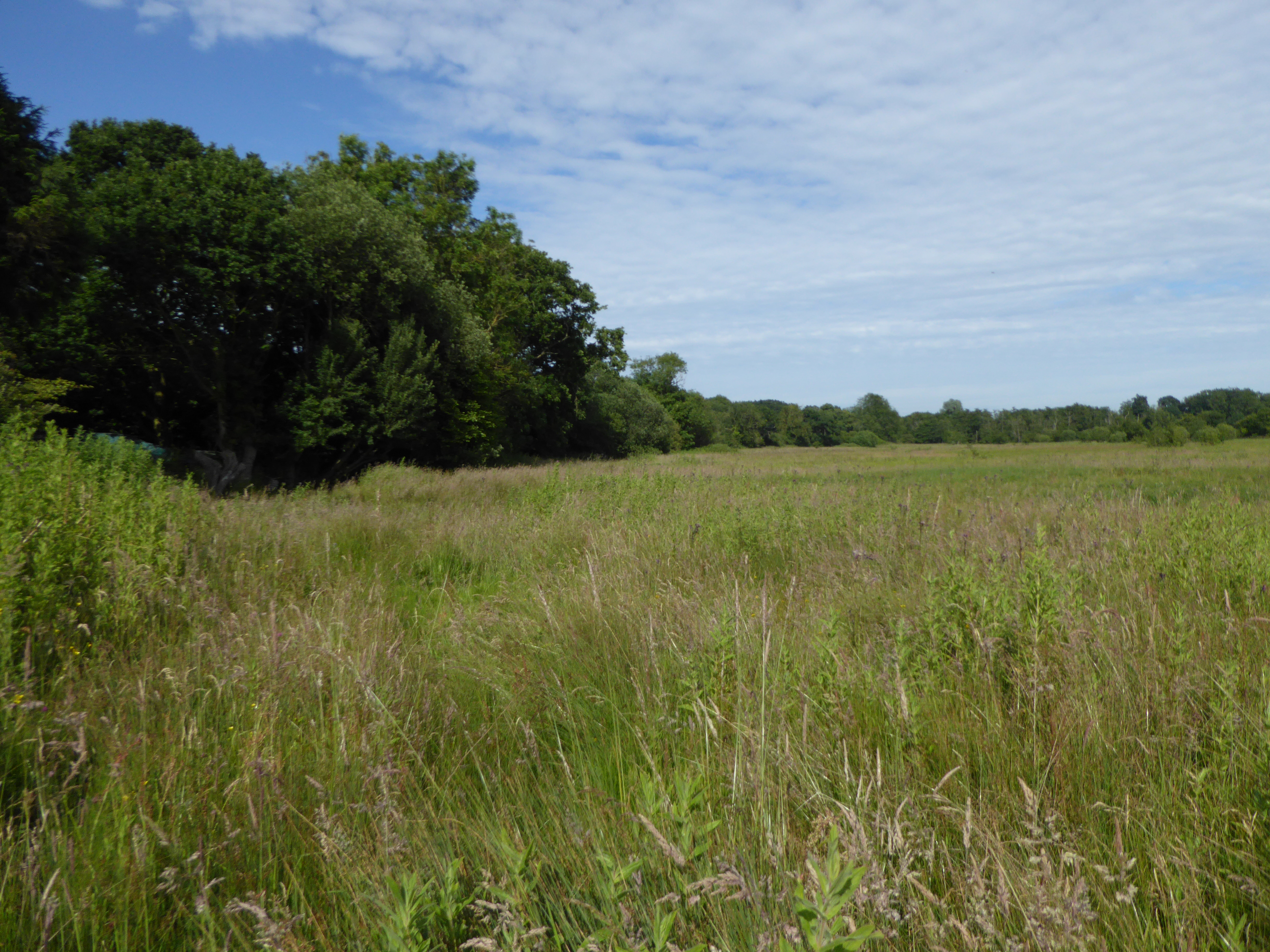
The dominant feature of Fir Covert is the abundance of fir trees, specifically the evergreen conifers known as firs. These tall, majestic trees create a dense and lush canopy, providing shade and shelter for a variety of wildlife. The forest floor is carpeted with a thick layer of fallen fir needles, adding to the enchanting atmosphere.

Within Fir Covert, visitors can expect to find a diverse array of flora and fauna. The woodland is home to a variety of bird species, including woodpeckers, warblers, and owls. Small mammals such as squirrels and rabbits are also commonly spotted in the area. The forest's rich biodiversity extends to its plant life, with a range of wildflowers and ferns adding bursts of color to the green landscape.

The woodland is a popular destination for hikers and nature walkers, with several well-marked trails meandering through the trees. These trails offer visitors the opportunity to explore the different sections of Fir Covert, each with its own unique charm and beauty.

Fir Covert is a tranquil escape from the hustle and bustle of everyday life, providing a serene environment to relax and reconnect with nature. Whether it's a leisurely stroll or a more adventurous hike, this woodland sanctuary offers something for everyone seeking solace in Norfolk's natural wonders.

If you have any feedback on the listing, please let us know in the comments section below.
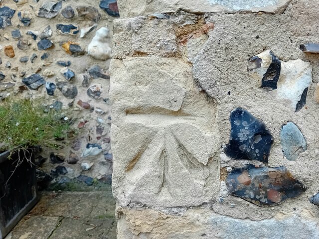
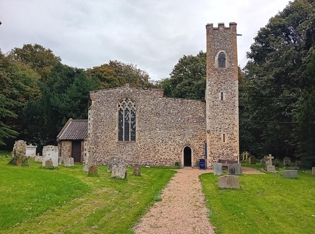
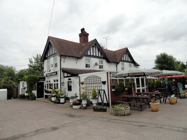
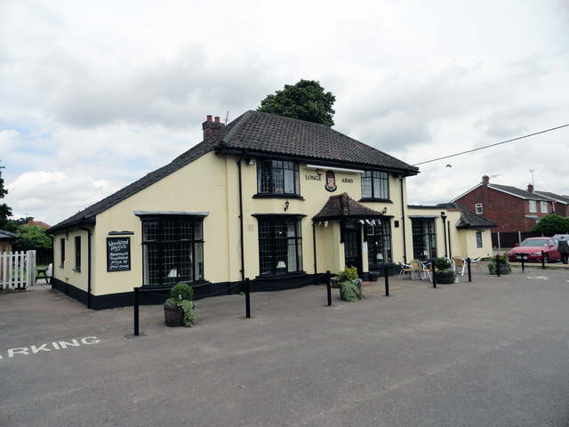
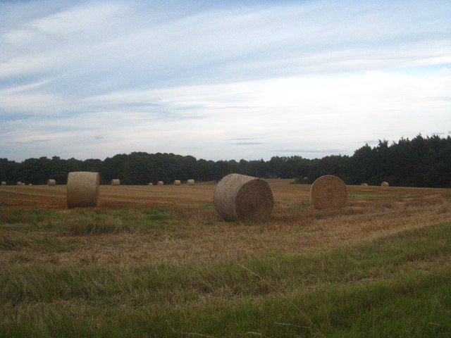
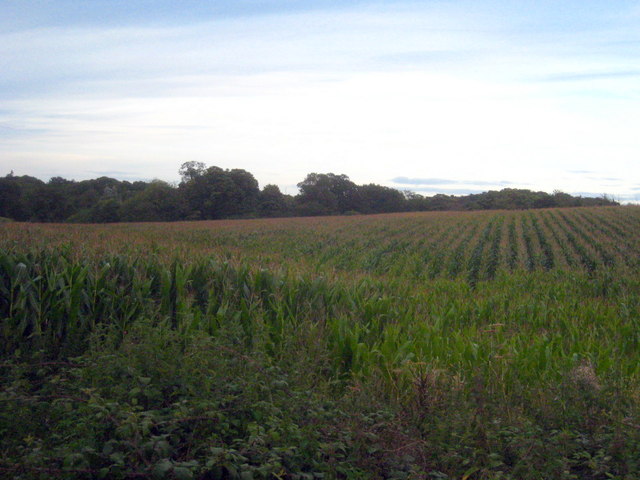
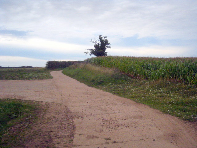
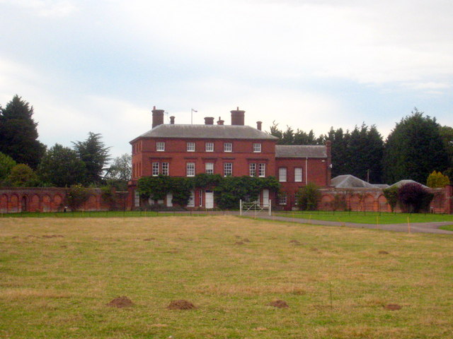
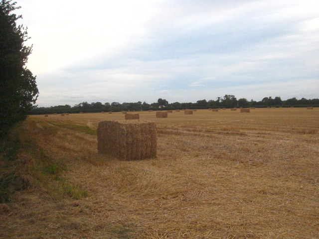
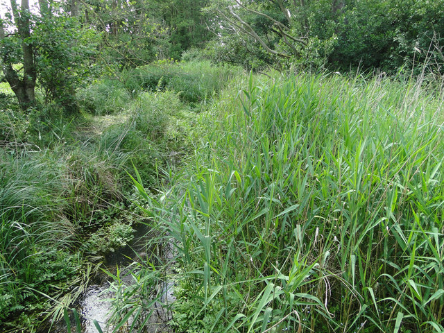
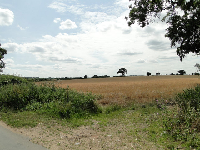
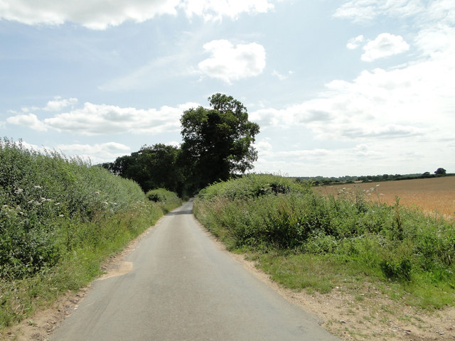
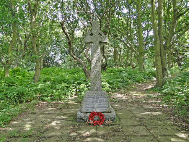
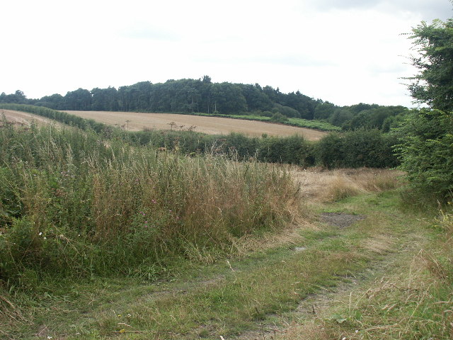
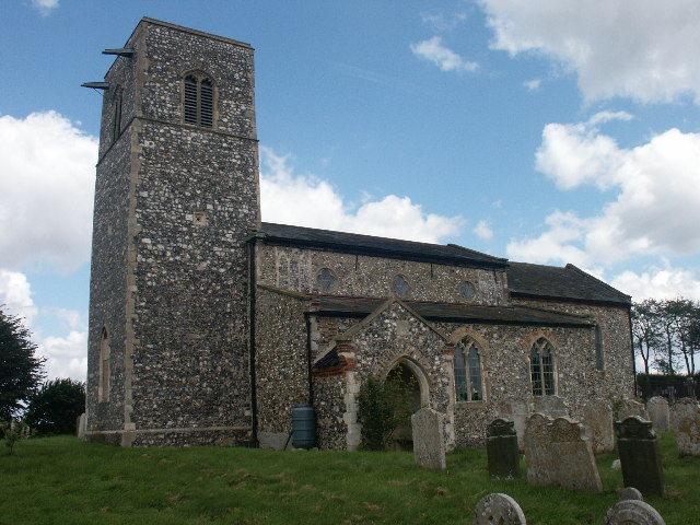
Fir Covert Images

Images are sourced within 2km of 52.684639/1.3366348 or Grid Reference TG2514. Thanks to Geograph Open Source API. All images are credited.

OS Benchmark Recorded on Benchmark Database as 'Spixworth, St Peter's Church'.
OS Benchmark
Recorded on Benchmark Database as 'Spixworth, St Peter's Church'.
St Peter's, Spixworth An attractive church which we were delighted to find open.
St Peter's, Spixworth
An attractive church which we were delighted to find open.
Flowers, St Peter's Church Attractive floral display at St Peter's Church, Spixworth.
Flowers, St Peter's Church
Attractive floral display at St Peter's Church, Spixworth.
The White Horse Crostwick Public House on the North Walsham Road
The White Horse Crostwick
Public House on the North Walsham Road
The Longe Arms Spixworth Located on the junction of Buxton Road and Crostwick Lane. It nearly closed at the end of 2010 when the lease was due to run out. Two villagers decided to take it over rather than see it close.
The Longe Arms Spixworth
Located on the junction of Buxton Road and Crostwick Lane. It nearly closed at the end of 2010 when the lease was due to run out. Two villagers decided to take it over rather than see it close.
Straw bales in a field in Beeston Lane Sprowston Wood on the right of the photo.
Straw bales in a field in Beeston Lane
Sprowston Wood on the right of the photo.
Field of maize at Diary Farm
Concrete farm track at Diary Farm
Beeston St Andrew Hall The curved C18th brick garden walls to each side of the house are Grade II Listed.
Beeston St Andrew Hall
The curved C18th brick garden walls to each side of the house are Grade II Listed.
Straw bales in a field in Church Lane Cuboid bales rather than the nowadays more commonly seen cylindrical ones.
Straw bales in a field in Church Lane
Cuboid bales rather than the nowadays more commonly seen cylindrical ones.
This is supposed to be a drain. Totally choked! It's no wonder all the roads locally have signs 'Liable to Flooding'.
This is supposed to be a drain. Totally choked!
It's no wonder all the roads locally have signs 'Liable to Flooding'.
Hump-back bridge near Old Hall Farm, Crostwick
Barley field on gently sloping land at Crostwick
Primrose Lane near Primrose Hole, Crostwick
Crostwick War Memorial The Memorial stands beside the North Walsham road and is almost hidden from view.
It bears the names of six men lost in WW1 and of two lost in WW2.
Crostwick War Memorial
The Memorial stands beside the North Walsham road and is almost hidden from view. It bears the names of six men lost in WW1 and of two lost in WW2.
Spixworth War Memorial brasses The brasses are affixed to a window sill on the south side of the chancel.
Spixworth War Memorial brasses
The brasses are affixed to a window sill on the south side of the chancel.
Church Wood, Rackheath Seen from the end of the lane by the church.
Church Wood, Rackheath
Seen from the end of the lane by the church.
All Saints Church, Rackheath Now redundant. It is the resting place of members of the Stracey family, of nearby Rackheath Hall, and contains a memorial to Sir John Pettus (1550-1614) MP and Mayor of Norwich (1608).
All Saints Church, Rackheath
Now redundant. It is the resting place of members of the Stracey family, of nearby Rackheath Hall, and contains a memorial to Sir John Pettus (1550-1614) MP and Mayor of Norwich (1608).
Show me another place!

Fir Covert is located at Grid Ref: TG2514 (Lat: 52.684639, Lng: 1.3366348)

Administrative County: Norfolk

District: Broadland

Police Authority: Norfolk

What 3 Words

///cornering.boomed.competent. Near Spixworth, Norfolk

Related Wikis

Beeston St Andrew

Beeston St Andrew is a civil parish north of Norwich in the Broadland district of Norfolk, England. It contains Beeston Park and according to the 2001...

Spixworth

Spixworth is a village and civil parish in the English county of Norfolk. The village lies close to the B1150 road and is 5 miles (8.0 km) north of Norwich...

Crostwick

Crostwick is a village in the English county of Norfolk. The village is part of the civil parish of Horstead with Stanninghall. Crostwick is located 2...

Crostwick Marsh

Crostwick Marsh is an 11.6-hectare (29-acre) biological Site of Special Scientific Interest in Crostwick, north of Norwich in Norfolk. It is part of the...

Nearby Amenities

Located within 500m of 52.684639,1.3366348
Bus Stop
Crostwick Lane, adj
Naptan AtcoCode: 2900C362
Naptan Bearing: N
Naptan CommonName: Crostwick Lane
Naptan Indicator: adj
Naptan Locality: Spixworth
Naptan NaptanCode: nfoamama
Naptan PlusbusZoneRef: NRCH
Naptan Street: North Walsham Road
Naptan Verified: no
Source: naptan_import
Lat/Long: 52.6874789/1.3335731
Bus Stop
Crostwick Lane, opp
Bench: no
Naptan AtcoCode: 2900C364
Naptan Bearing: SW
Naptan CommonName: Crostwick Lane
Naptan Indicator: opp
Naptan Locality: Spixworth
Naptan NaptanCode: nfoamamg
Naptan PlusbusZoneRef: NRCH
Naptan Street: North Walsham Road
Naptan Verified: no
Shelter: no
Source: naptan_import
Tactile Paving: no
Lat/Long: 52.6864931/1.3331279
Crossing
Crossing: unmarked
Lat/Long: 52.6881331/1.3341472
Passing Place
Lat/Long: 52.688388/1.338451
Entrance: yes
Lat/Long: 52.6867608/1.3326889
Power: pole
Lat/Long: 52.6883348/1.3384448
Power: pole
Lat/Long: 52.6874577/1.3389691
Power: pole
Lat/Long: 52.6865578/1.3395203
Power: pole
Lat/Long: 52.6856571/1.340046
Power: pole
Lat/Long: 52.6847555/1.3405597
Power: pole
Lat/Long: 52.683797/1.3411512
Power: pole
Lat/Long: 52.6828702/1.3416984
Power: pole
Lat/Long: 52.6818214/1.3417761
Spixworth
Traffic Sign: city_limit
Lat/Long: 52.6880612/1.3321017
Traffic Calming: hump
Lat/Long: 52.688094/1.3320543
Give Way
Lat/Long: 52.6879927/1.3339597
Turning Circle
Lat/Long: 52.6859745/1.3314369
Barrier: bollard
Bicycle: yes
Foot: yes
Vehicle: no
Lat/Long: 52.6881006/1.3342937
Communication Mobile Phone: yes
Man Made: mast
Material: metal
Operator: O2-UK;Vodafone UK
Tower Construction: freestanding
Tower Type: communication
Lat/Long: 52.6869861/1.3310241
Communication Mobile Phone: yes
Man Made: mast
Material: metal
Operator: Three UK;EE
Tower Construction: freestanding
Tower Type: communication
Lat/Long: 52.687091/1.3319126
The data included in this document is from www.openstreetmap.org. The data is made available under ODbL.

Have you been to Fir Covert?

Leave your review of Fir Covert below (or comments, questions and feedback).